Property Valuation Information
- Serial Number : 290250097
- Tax Year : 2025
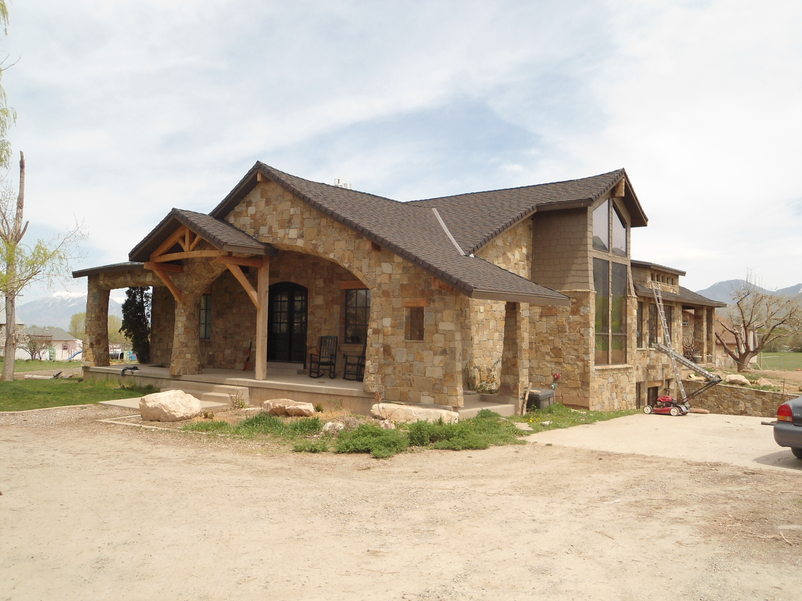
- Owner Names : DRAPER, TODD E & AMY (ET AL)
- Property Address : 12345 S 5200 WEST - PAYSON DISTR
- Tax District : 120 - NEBO SCHOOL DIST S/A 6-7-8
- Acreage : 5.986384
- Property Classification : RPO - RP PLUS ACREAGE
- Legal Description : COM N 418.77 FT & W 2637.53 FT FR E 1/4 COR. SEC. 25, T9S, R1E, SLB&M.; N 89 DEG 38' 0" E 1070.77 FT; S 40 DEG 46' 30" E 51.51 FT; S 44 DEG 23' 22" E 192.79 FT; S 48 DEG 9' 0" E 45.24 FT; S 89 DEG 38' 0" W 625.79 FT; S 24.39 FT; S 89 DEG 7' 46" W 646.61 FT; N 238.32 FT M OR L TO BEG (DEFECTIVE DESCRIPTION) TO BEG. AREA 5.986 AC.
| Property Types: | 2024 Market Value |
2025 Market Value |
|||||||
| Primary Residential | $867,700 |
$867,700 |
|||||||
| Non-Primary Residential | $222,800 |
$222,800 |
|||||||
| Greenbelt Land Value | $48,800 |
$48,800 |
|||||||
| Greenbelt Homesite Value | $175,900 |
$175,900 |
|||||||
| Total Property Market Value | $1,090,500 | $1,090,500 | |||||||
Note:
Greenbelt values are shown for reference only and are not part of the total property market value, but are utilized as part of the proposed tax calculations