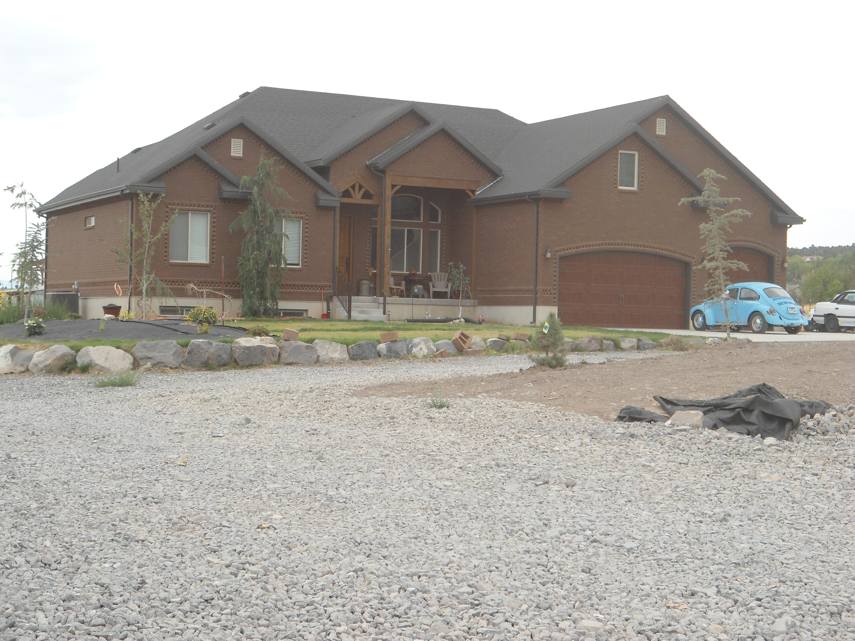
Property Valuation Information
- Serial Number : 590370038
- Tax Year : 2024
- Owner Names : STRINGER, RODNEY LEE & SHERRIE (ET AL)
- Property Address : 260 E 100 NORTH - CEDAR FORT
- Tax District : 050 - CEDAR FORT CITY
- Acreage : 4.25
- Property Classification : MRAB - MULTIPLE RES + AG > 1 ACRE
- Legal Description : ALL OF LOTS 26 & 27, BLK 22, PLAT A, CEDAR FORT SURVEY. ALSO DESCRIBED AS FOLLOWS: COM N 459.14 FT & E 278.65 FT FR W1/4 COR SEC 5, T6S, R2W, SLM; S 89-02'49"E 267.14 FT; S 1-00'29"W 688.02 FT; N 87-48'49"W 272.54 FT; N 1-16'37"E 335.47 FT; N 1-55'18"E 346.14 FT TO BEG. AREA 4.252 ACRES.
| Property Types: | 2023 Market Value |
2024 Market Value |
|||||||
| Primary Residential | $631,700 |
$587,200 |
|||||||
| Non-Primary Residential | $159,500 |
$161,900 |
|||||||
| Greenbelt Land Value | $48 |
$52 |
|||||||
| Greenbelt Homesite Value | $84,000 |
$84,000 |
|||||||
| Total Property Market Value | $791,200 | $749,100 | |||||||
Note:
Greenbelt values are shown for reference only and are not part of the total property market value, but are utilized as part of the proposed tax calculations
