Property Information
mobile view
| Serial Number: 53:444:0003 |
Serial Life: 2017... |
|
|
Total Photos: 10
|
| |
|
|
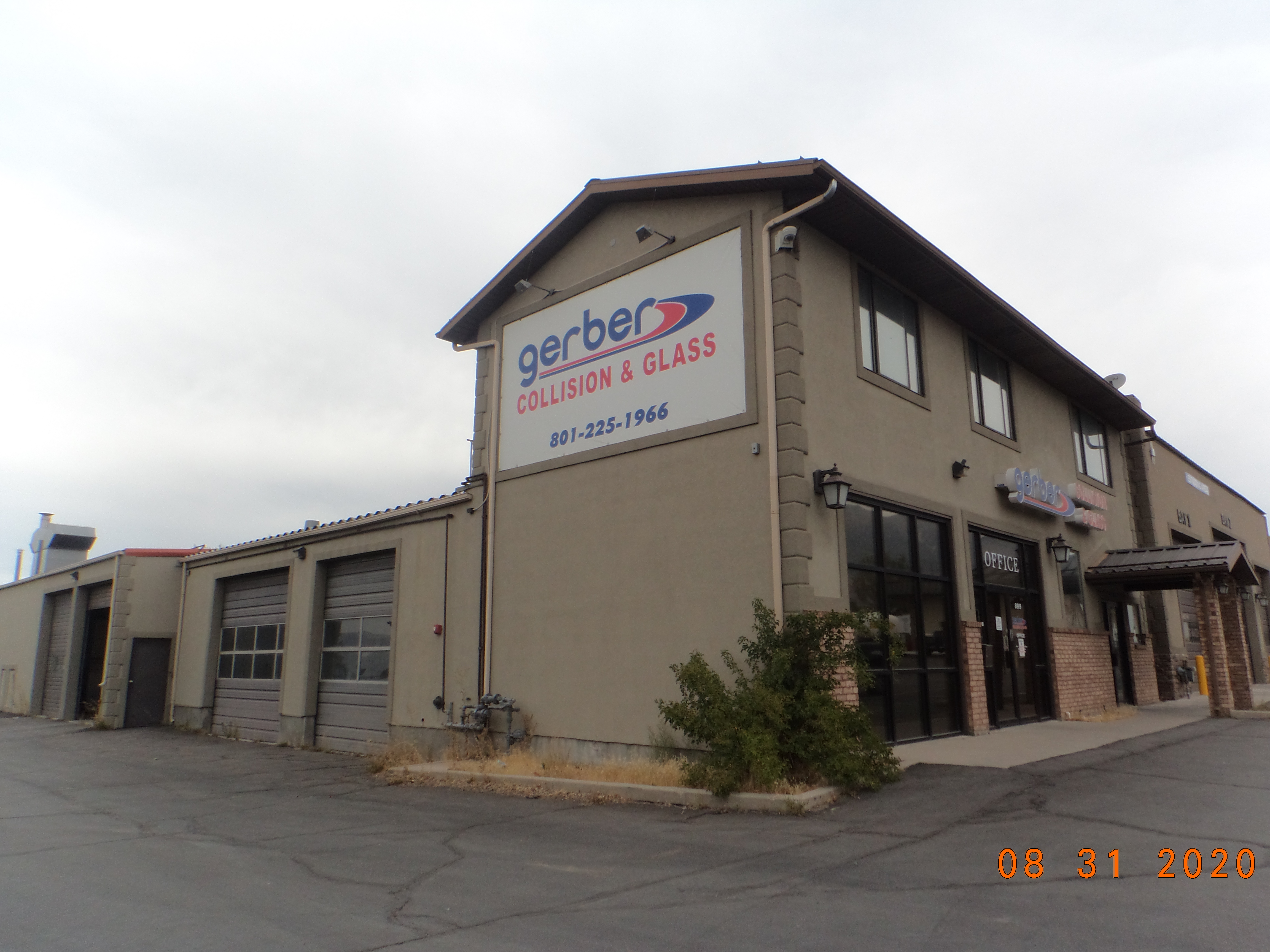
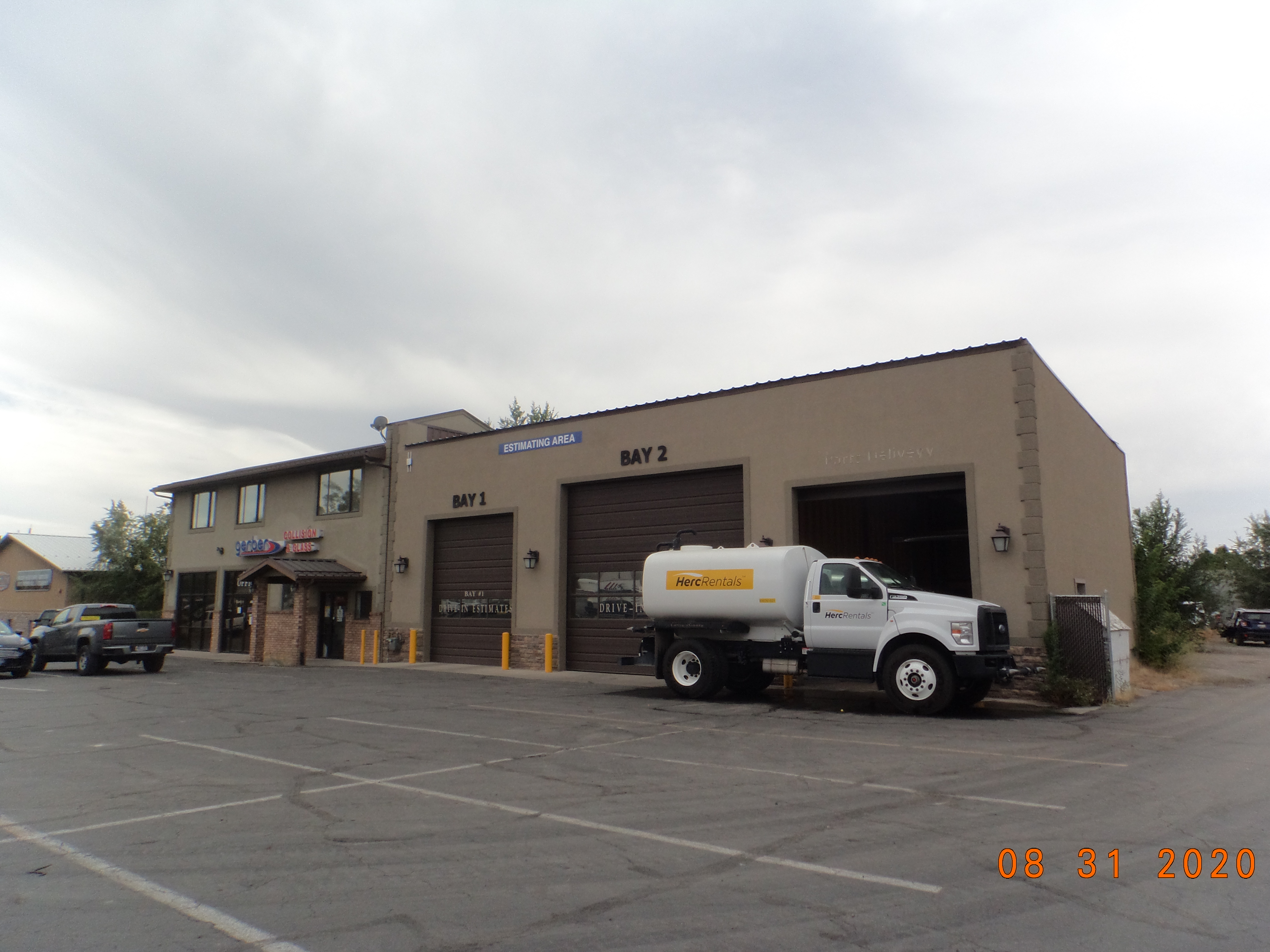
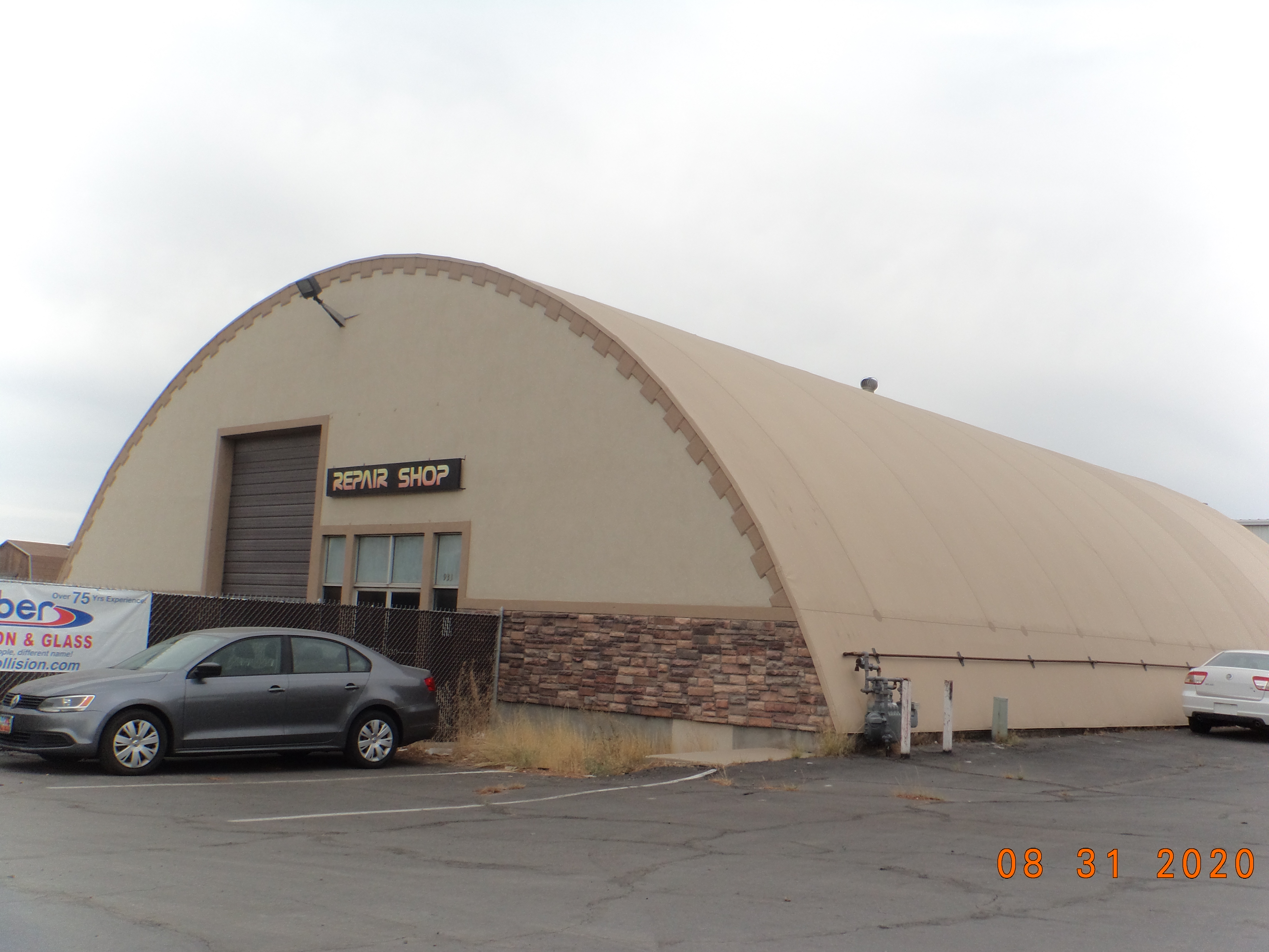
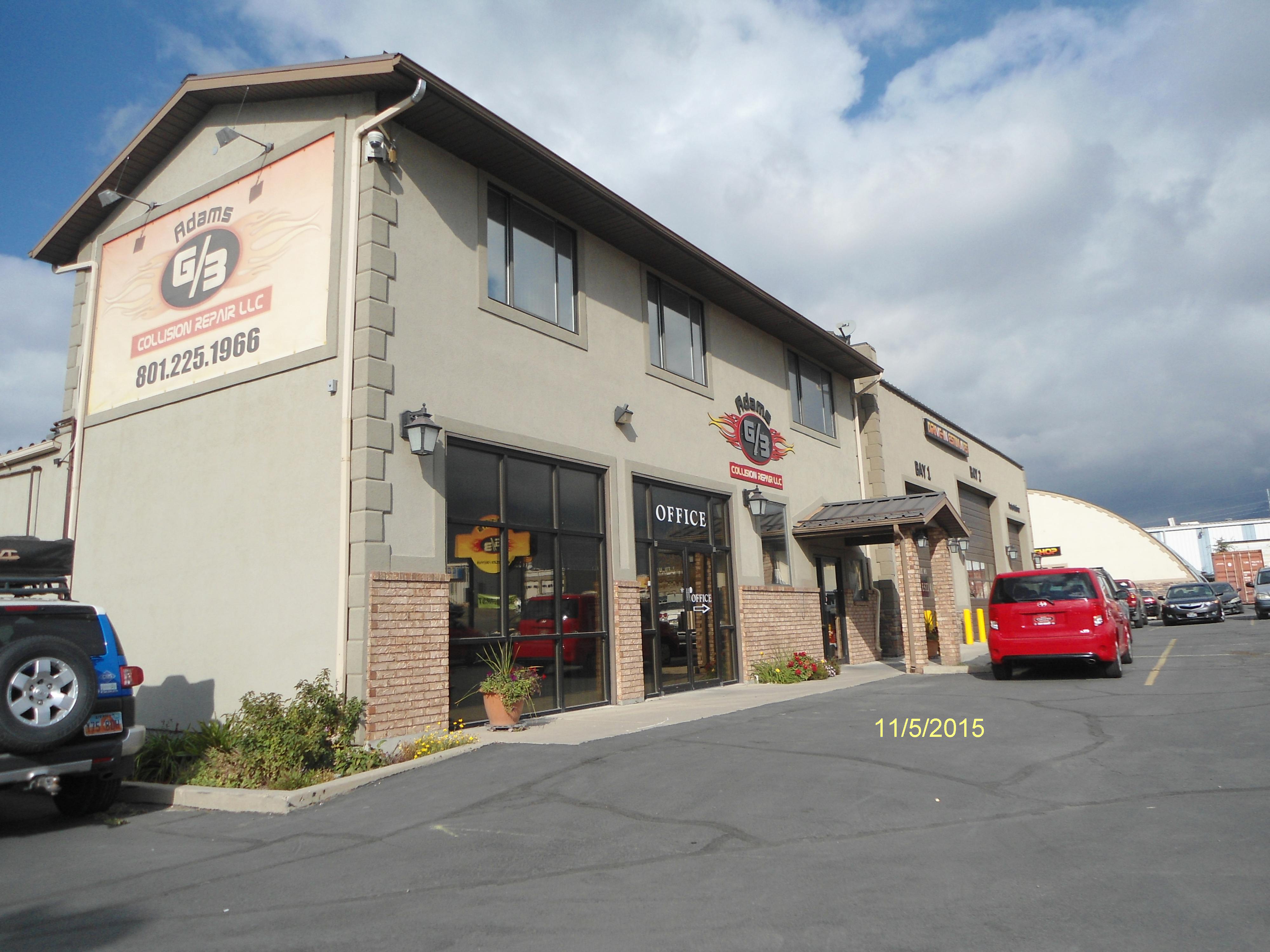
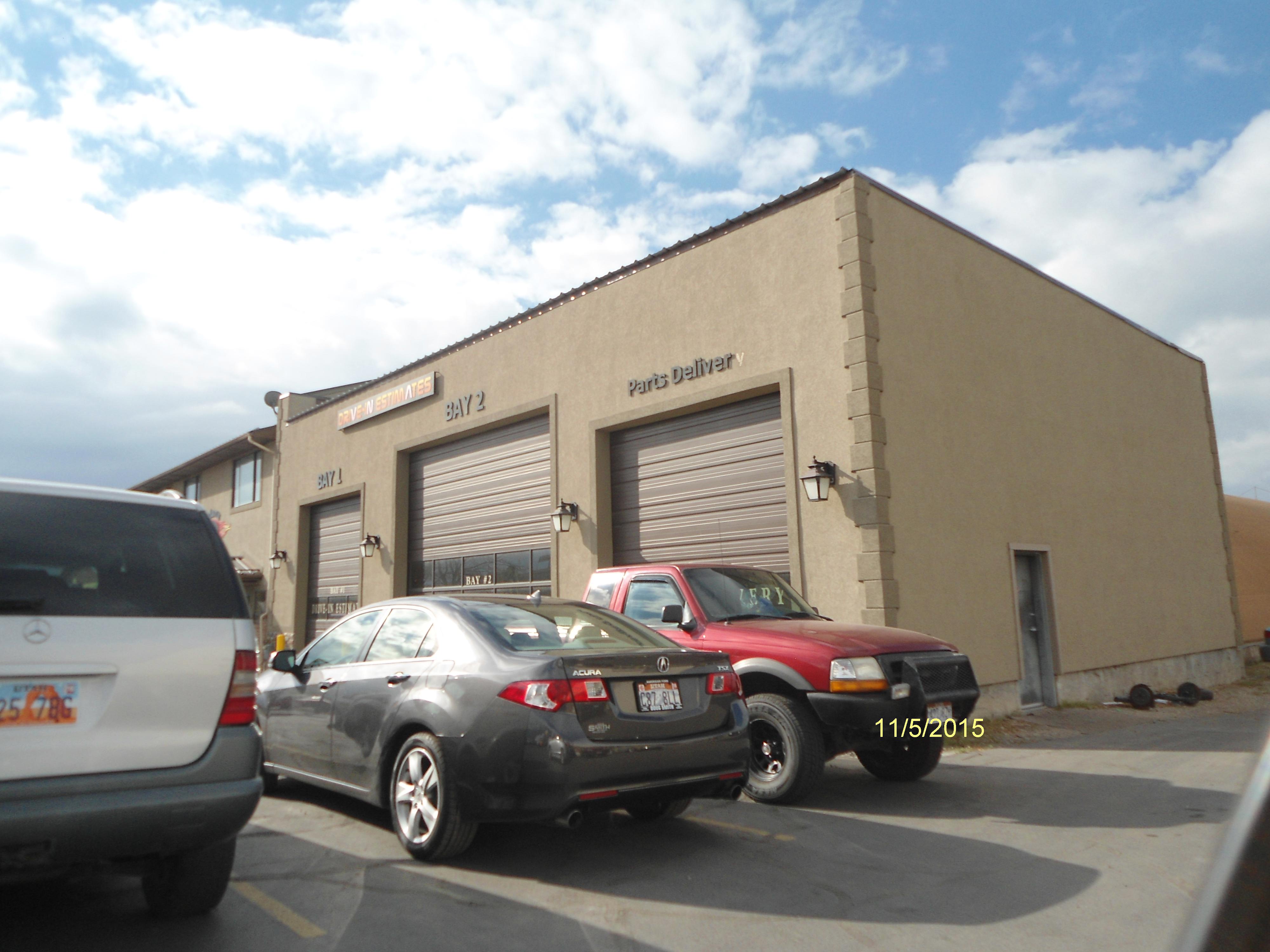
| Property Address: 899 N INDUSTRIAL PARK DR - OREM |
|
| Mailing Address: 3889 GRINDSTONE DR SPRINGVILLE, UT 84663-5905 |
|
| Acreage: 1.72939 |
|
| Last Document:
115073-2016
|
|
| Subdivision Map Filing |
|
| Taxing Description:
PART LOT 1, PLAT E, T & T INDUSTRIAL PARK SUB DESCRIBED AS FOLLOWS:; COM N 1028.22 FT & E 1311.57 FT FR W 1/4 COR. SEC. 9, T6S, R2E, SLB&M.; N 89 DEG 44' 0" E 228.33 FT; S 0 DEG 6' 16" E 131.61 FT; S 88 DEG 43' 20" E 65.07 FT; ALONG A CURVE TO R (CHORD BEARS: S 33 DEG 55' 26" W 28.69 FT, RADIUS = 236.94 FT); ALONG A CURVE TO L (CHORD BEARS: S 19 DEG 42' 56" W 174.31 FT, RADIUS = 286.84 FT); S 89 DEG 44' 0" W 212.5 FT; N 1 DEG 7' 36" W 320.94 FT TO BEG. AREA 1.729 AC.
*Taxing description NOT FOR LEGAL DOCUMENTS
|
|
- Owner Names
- Value History
- Tax History
- Location
- Photos
- Documents
- Aerial Image
| |
----- Real Estate Values ----- |
---Improvements--- |
---Greenbelt--- |
Total |
| Year |
Com |
Res |
Agr |
Tot |
Com |
Res |
Agr |
Tot |
Land |
Homesite |
Tot |
Market Value |
| 2024 |
$736,100 |
$0 |
$0 |
$736,100 |
$421,900 |
$0 |
$0 |
$421,900 |
$0 |
$0 |
$0 |
$1,158,000 |
| 2023 |
$667,600 |
$0 |
$0 |
$667,600 |
$408,200 |
$0 |
$0 |
$408,200 |
$0 |
$0 |
$0 |
$1,075,800 |
| 2022 |
$633,400 |
$0 |
$0 |
$633,400 |
$373,300 |
$0 |
$0 |
$373,300 |
$0 |
$0 |
$0 |
$1,006,700 |
| 2021 |
$560,200 |
$0 |
$0 |
$560,200 |
$467,700 |
$0 |
$0 |
$467,700 |
$0 |
$0 |
$0 |
$1,027,900 |
| 2020 |
$560,200 |
$0 |
$0 |
$560,200 |
$447,500 |
$0 |
$0 |
$447,500 |
$0 |
$0 |
$0 |
$1,007,700 |
| 2019 |
$501,000 |
$0 |
$0 |
$501,000 |
$458,000 |
$0 |
$0 |
$458,000 |
$0 |
$0 |
$0 |
$959,000 |
| 2018 |
$455,800 |
$0 |
$0 |
$455,800 |
$399,200 |
$0 |
$0 |
$399,200 |
$0 |
$0 |
$0 |
$855,000 |
| 2017 |
$434,700 |
$0 |
$0 |
$434,700 |
$399,200 |
$0 |
$0 |
$399,200 |
$0 |
$0 |
$0 |
$833,900 |
| Year |
General Taxes |
Adjustments |
Net Taxes |
Fees |
Payments |
Tax Balance* |
Balance Due |
Tax District |
| 2025 |
$0.00 |
$0.00 |
$0.00 |
$0.00 |
|
$0.00
|
$0.00 |
090 - OREM CITY |
| 2024 |
$0.00 |
$0.00 |
$0.00 |
$0.00 |
|
$0.00
|
$0.00 |
090 - OREM CITY |
| 2023 |
$8,185.76 |
$0.00 |
$8,185.76 |
$0.00 |
|
$0.00
|
$0.00 |
090 - OREM CITY |
| 2022 |
$7,906.62 |
$0.00 |
$7,906.62 |
$0.00 |
|
$0.00
|
$0.00 |
090 - OREM CITY |
| 2021 |
$9,691.04 |
$0.00 |
$9,691.04 |
$0.00 |
|
$0.00
|
$0.00 |
090 - OREM CITY |
| 2020 |
$9,666.87 |
$0.00 |
$9,666.87 |
$0.00 |
|
$0.00
|
$0.00 |
090 - OREM CITY |
| 2019 |
$8,846.78 |
$0.00 |
$8,846.78 |
$0.00 |
|
$0.00
|
$0.00 |
090 - OREM CITY |
| 2018 |
$8,255.03 |
$0.00 |
$8,255.03 |
$0.00 |
|
$0.00
|
$0.00 |
090 - OREM CITY |
| 2017 |
$8,266.45 |
$0.00 |
$8,266.45 |
$0.00 |
|
$0.00
|
$0.00 |
090 - OREM CITY |
* Note: Original tax amount (Does not include applicable interest and/or fees).
| Entry # |
Date |
Recorded |
Type |
Party1 (Grantor) |
Party2 (Grantee) |
| 54890-2023 |
07/17/2023 |
08/22/2023 |
SUB TEE |
ZIONS FIRST NATIONAL BANK |
COTTONWOOD TITLE INSURANCE AGENCY INC SUCTEE |
| 105299-2019 |
10/08/2019 |
10/15/2019 |
WD |
D F ADAMS PROPERTIES LC |
DF ADAMS 899 LLC |
| 115073-2016 |
07/07/2016 |
11/15/2016 |
WD |
D F ADAMS PROPERTIES L C |
BLUPROPERTIES LLC |
Main Menu Comments or Concerns on Value/Appraisal - Assessor's Office
Documents/Owner/Parcel information - Recorder's Office
Address Change for Tax Notice
This page was created on 8/9/2024 9:32:33 AM |


