Property Information
mobile view
| Serial Number: 11:025:0050 |
Serial Life: 1998NV |
|
|
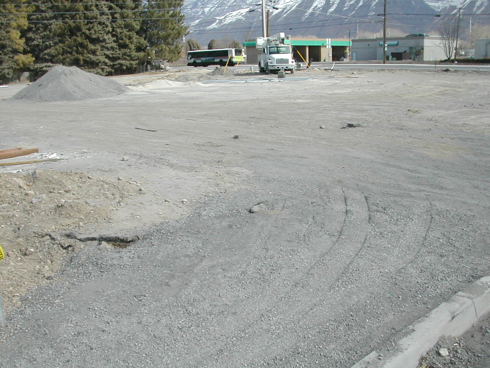
Total Photos: 1
|
| |
|
|
| Property Address: |
|
| Mailing Address: 2824 E 4215 S SALT LAKE CITY, UT 84124 |
|
| Acreage: 3.852513 |
|
| Last Document:
30143-1997
|
|
| Subdivision Map Filing |
|
| Taxing Description:
COM N 2297.8 FT & W 41.13 FT FR S 1/4 COR. SEC. 26, T4S, R1E, SLB&M.; S 89 DEG 43' 58" W 400.34 FT; S 0 DEG 16' 2" E 188.01 FT; S 89 DEG 43' 58" W 160.07 FT; S 23 DEG 43' 56" W 122.25 FT; S 78 DEG 38' 12" W 116.45 FT; N 1 DEG 2' 17" E 335.08 FT; N 72 DEG 48' 28" E 88.61 FT; N 71 DEG 30' 41" E 208.29 FT; N 72 DEG 9' 47" E 455.85 FT; S 0 DEG 9' 54" E 241.42 FT TO BEG. AREA 3.853 AC.
*Taxing description NOT FOR LEGAL DOCUMENTS
|
|
- Owner Names
- Value History
- Tax History
- Location
- Photos
- Documents
- Aerial Image
Main Menu Comments or Concerns on Value/Appraisal - Assessor's Office
Documents/Owner/Parcel information - Recorder's Office
Address Change for Tax Notice
This page was created on 7/24/2024 8:34:36 PM |