Property Information
mobile view
| Serial Number: 13:029:0148 |
Serial Life: 2025... |
|
|
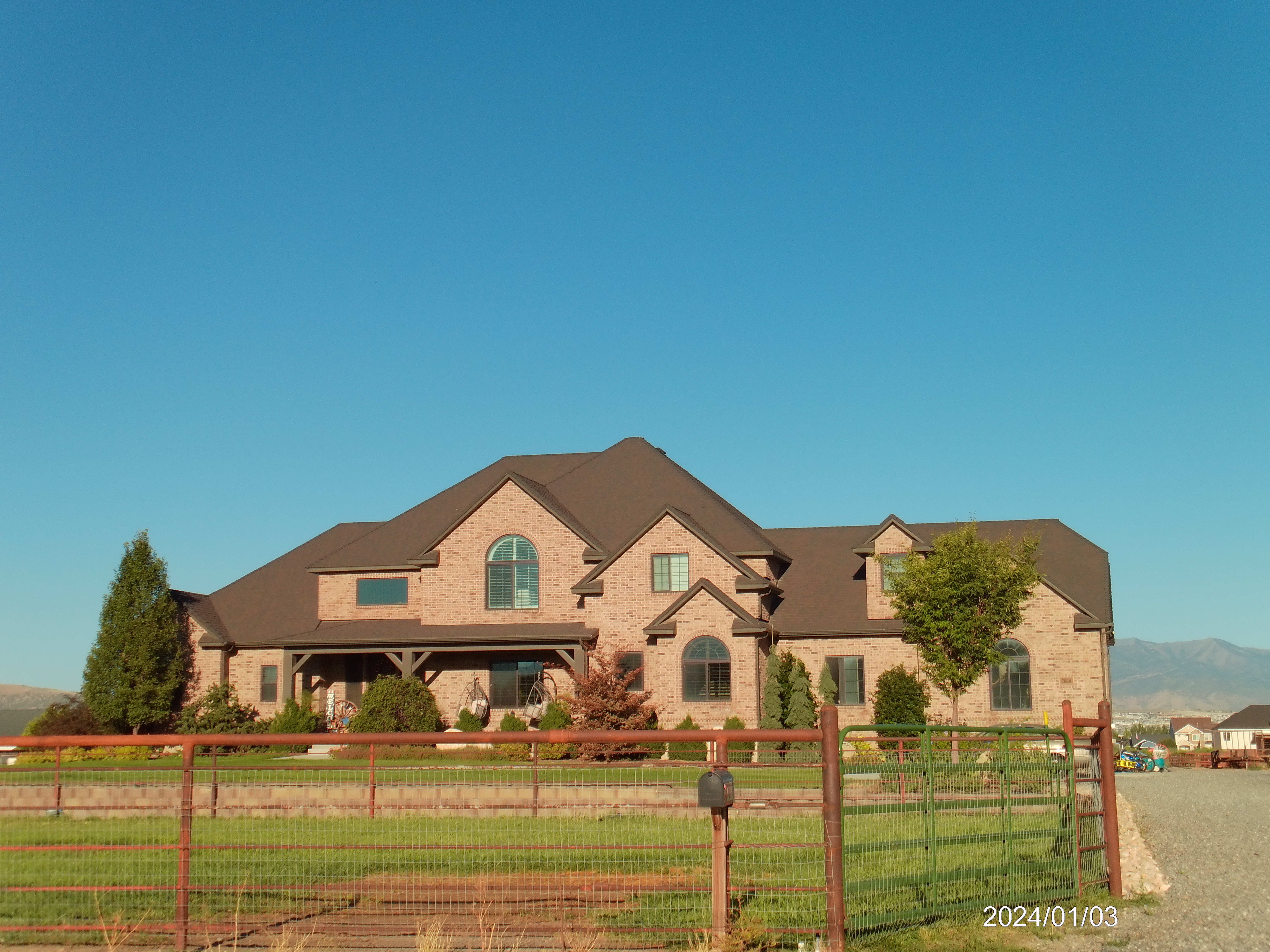 Total Photos: 1
|
| |
|
|
| Property Address: 7609 N 9150 WEST - LEHI DIST |
|
| Mailing Address: 7609 N 9150 W LEHI, UT 84043 |
|
| Acreage: 5.581288 |
|
| Last Document:
84938-2024
|
|
| Subdivision Map Filing |
|
| Taxing Description:
COM N 2638.699 FT & E 1720.653 FT FR SW COR. SEC. 19, T5S, R1E, SLB&M.; N 59.12 FT; S 87 DEG 21' 59" E 58.08 FT; S 29 DEG 19' 59" W 26.14 FT; E 521.3 FT; N 330.25 FT; N 0 DEG 6' 48" E 21.16 FT; N 89 DEG 8' 15" E 43.66 FT; S 87 DEG 40' 24" E 399.05 FT; S 0 DEG 0' 33" E 5.61 FT; E 90.83 FT; S 86 DEG 26' 33" E 16.09 FT; S 89 DEG 26' 24" E 77.69 FT; S 335.64 FT; N 87 DEG 54' 42" W 275.81 FT; S 30.38 FT; S 89 DEG 36' 49" W 917.9 FT TO BEG. AREA 5.581 AC.
*Taxing description NOT FOR LEGAL DOCUMENTS
|
|
- Owner Names
- Value History
- Tax History
- Location
- Photos
- Documents
- Aerial Image
Main Menu Comments or Concerns on Value/Appraisal - Assessor's Office
Documents/Owner/Parcel information - Recorder's Office
Address Change for Tax Notice
This page was created on 2/1/2025 10:55:18 AM |