Property Information
mobile view
| Serial Number: 13:059:0131 |
Serial Life: 2022... |
|
|
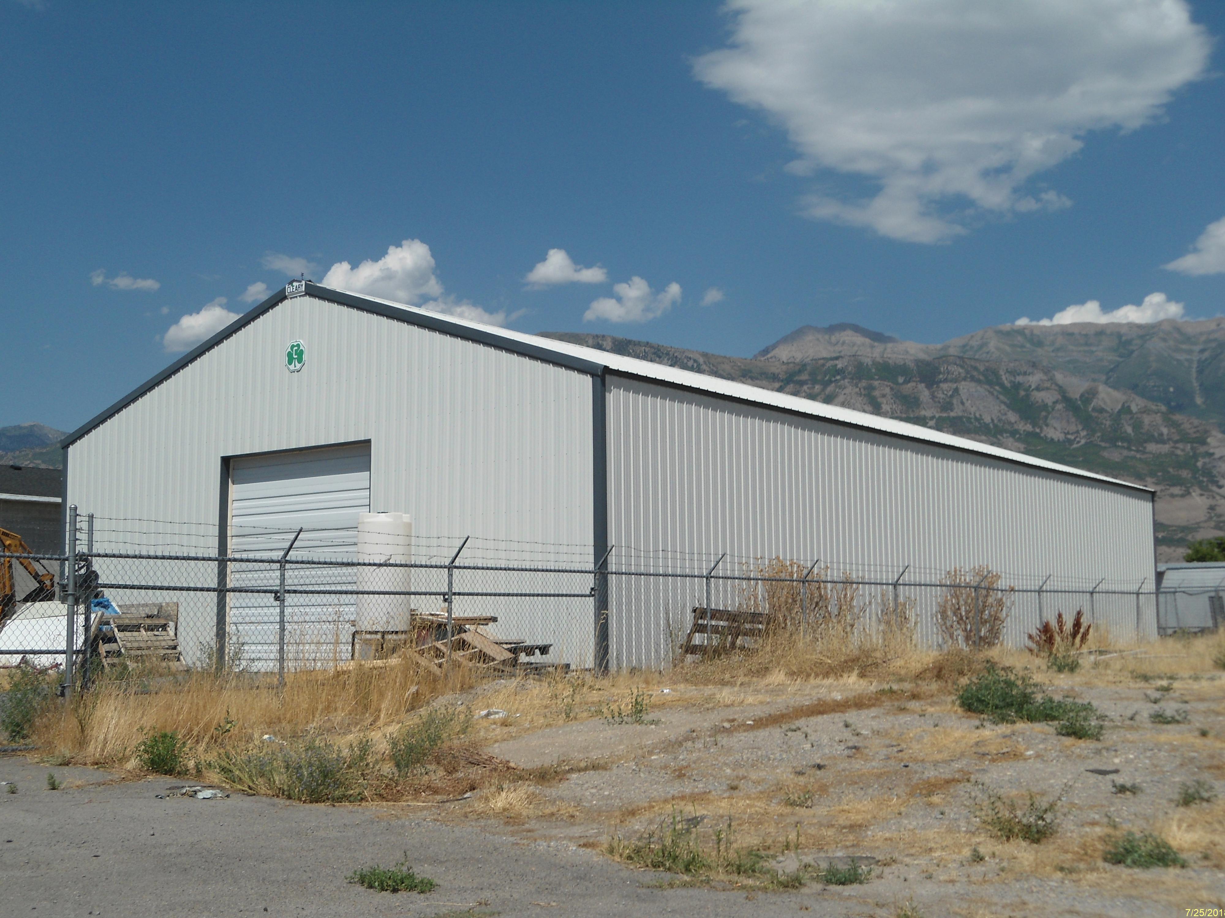
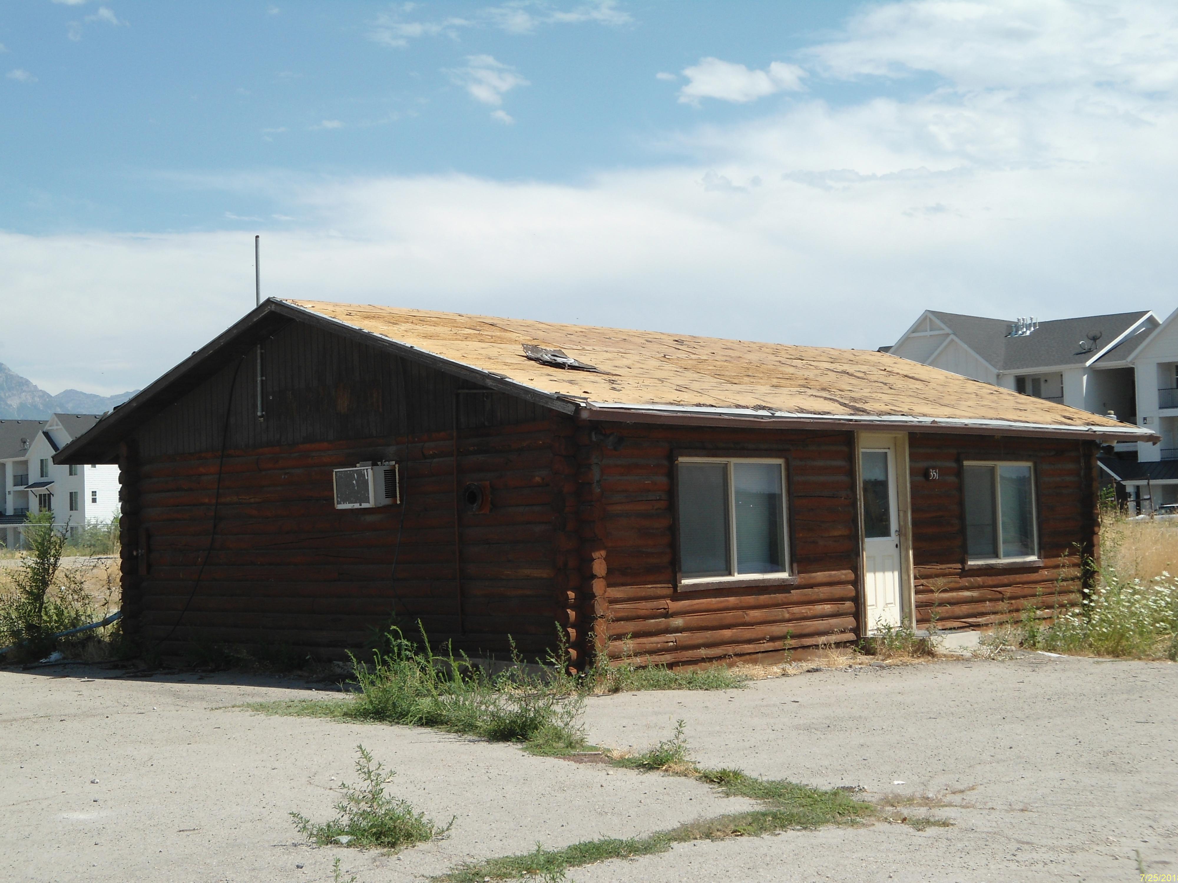
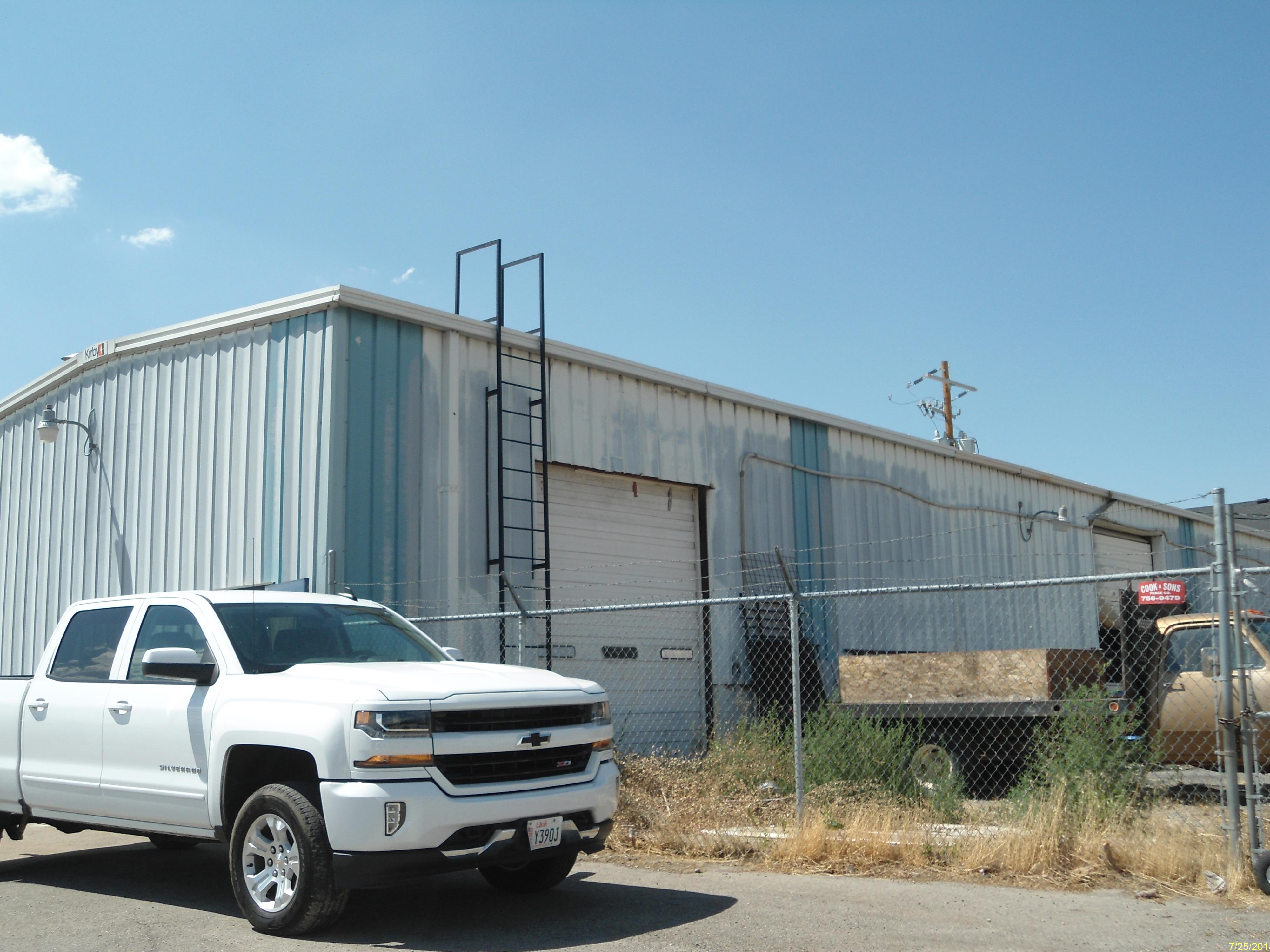
 Total Photos: 5
|
| |
|
|
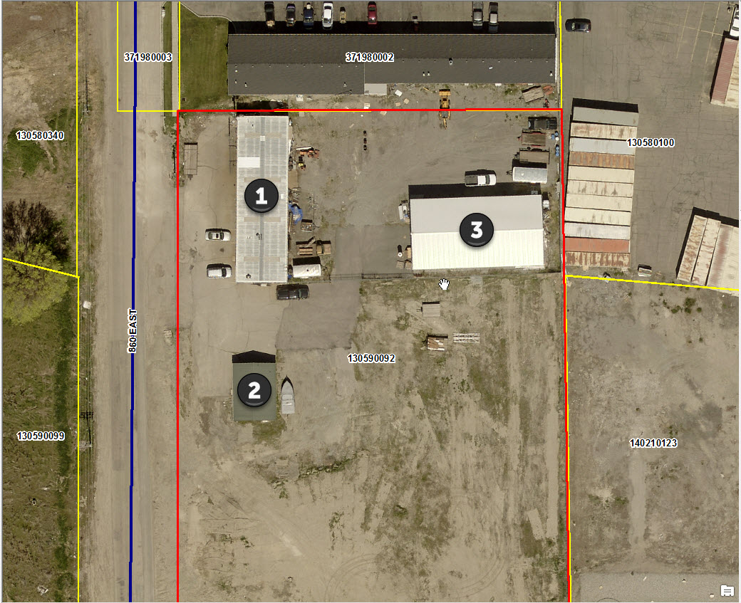
| Property Address: 375 S 860 EAST - AMERICAN FORK |
|
| Mailing Address: 331 S 860 E STE 1 AMERICAN FORK, UT 84003 |
|
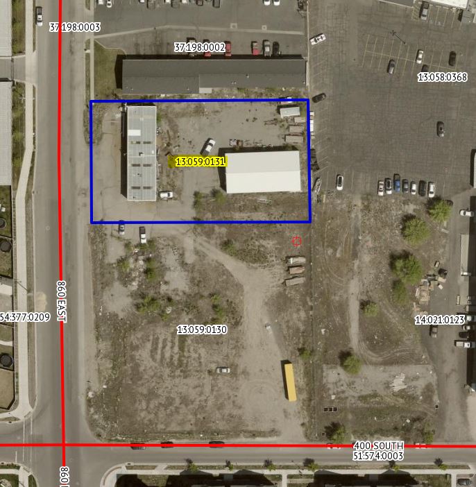
| Acreage: 0.704756 |
|
| Last Document:
177109-2021
|
|
| Subdivision Map Filing |
|
| Taxing Description:
COM S 0 DEG 15' 27" E 49.02 FT & W 140.29 FT FR E 1/4 COR. SEC. 24, T5S, R1E, SLB&M.; S 0 DEG 50' 0" E 131.23 FT; W 235.87 FT; N 130.3 FT; N 89 DEG 46' 33" E 233.96 FT TO BEG. AREA 0.705 AC.
*Taxing description NOT FOR LEGAL DOCUMENTS
|
|
- Owner Names
- Value History
- Tax History
- Location
- Photos
- Documents
- Aerial Image
| |
----- Real Estate Values ----- |
---Improvements--- |
---Greenbelt--- |
Total |
| Year |
Com |
Res |
Agr |
Tot |
Com |
Res |
Agr |
Tot |
Land |
Homesite |
Tot |
Market Value |
| 2024 |
$420,800 |
$0 |
$0 |
$420,800 |
$336,500 |
$0 |
$0 |
$336,500 |
$0 |
$0 |
$0 |
$757,300 |
| 2023 |
$412,500 |
$0 |
$0 |
$412,500 |
$308,800 |
$0 |
$0 |
$308,800 |
$0 |
$0 |
$0 |
$721,300 |
| 2022 |
$398,800 |
$0 |
$0 |
$398,800 |
$291,800 |
$0 |
$0 |
$291,800 |
$0 |
$0 |
$0 |
$690,600 |
| Year |
General Taxes |
Adjustments |
Net Taxes |
Fees |
Payments |
Tax Balance* |
Balance Due |
Tax District |
| 2025 |
$0.00 |
$0.00 |
$0.00 |
$0.00 |
|
$0.00
|
$0.00 |
060 - AMERICAN FORK CITY |
| 2024 |
$6,815.70 |
$0.00 |
$6,815.70 |
$0.00 |
|
|
Click for Payoff
|
060 - AMERICAN FORK CITY |
| 2023 |
$6,123.12 |
$0.00 |
$6,123.12 |
$0.00 |
|
$0.00
|
$0.00 |
060 - AMERICAN FORK CITY |
| 2022 |
$5,940.54 |
$0.00 |
$5,940.54 |
$0.00 |
|
$0.00
|
$0.00 |
060 - AMERICAN FORK CITY |
* Note: Original tax amount (Does not include applicable interest and/or fees).
| Entry # |
Date |
Recorded |
Type |
Party1 (Grantor) |
Party2 (Grantee) |
| 177109-2021 |
10/18/2021 |
10/18/2021 |
C QCD |
TANNER, DAVID |
TANNER, DAVID |
Main Menu Comments or Concerns on Value/Appraisal - Assessor's Office
Documents/Owner/Parcel information - Recorder's Office
Address Change for Tax Notice
This page was created on 10/28/2024 10:54:43 AM |