Property Information
mobile view
| Serial Number: 14:020:0187 |
Serial Life: 2020... |
|
|
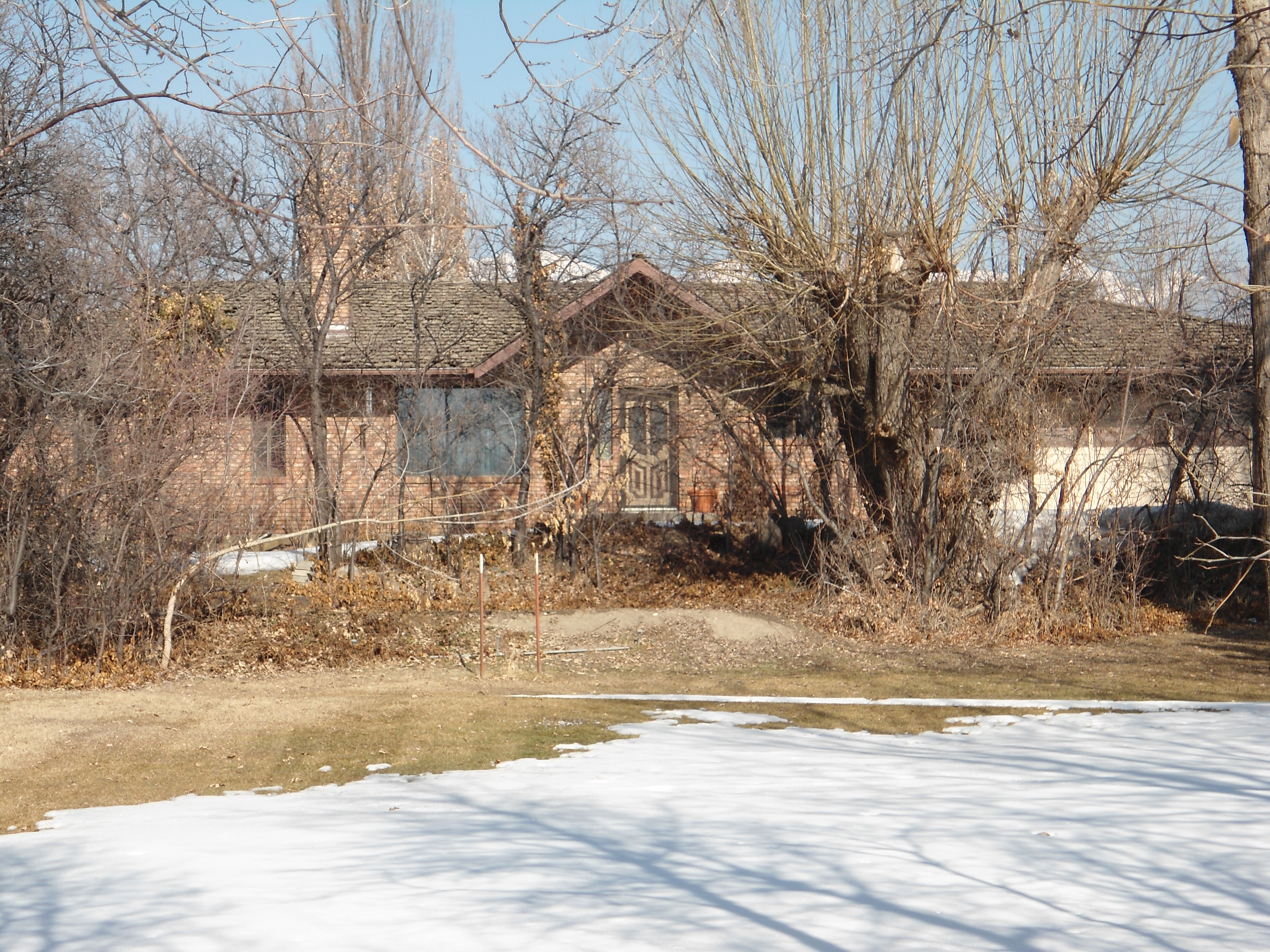 Total Photos: 1
|
| |
|
|
| Property Address: 1524 W 1800 NORTH - PLEASANT GROVE |
|
| Mailing Address: 1524 W 1800 N PLEASANT GROVE, UT 84062-9695 |
|
| Acreage: 1.557364 |
|
| Last Document:
53312-2019
|
|
| Subdivision Map Filing |
|
| Taxing Description:
COM N 89 DEG 31' 44" E 417.55 FT ALONG SEC. LINE & S 2508.45 FT FR N 1/4 COR. SEC. 18, T5S, R2E, SLB&M.; S 1 DEG 43' 24" W 563.62 FT; S 2 DEG 55' 17" W 66.28 FT; W 108.4 FT; N 2 DEG 3' 56" E 305.42 FT; N 2 DEG 43' 41" E 43.6 FT; N 1 DEG 54' 46" E 281.68 FT; S 89 DEG 36' 40" E .48 FT; S 89 DEG 36' 2" E 105.76 FT TO BEG. AREA 1.557 AC.
*Taxing description NOT FOR LEGAL DOCUMENTS
|
|
- Owner Names
- Value History
- Tax History
- Location
- Photos
- Documents
- Aerial Image
| |
----- Real Estate Values ----- |
---Improvements--- |
---Greenbelt--- |
Total |
| Year |
Com |
Res |
Agr |
Tot |
Com |
Res |
Agr |
Tot |
Land |
Homesite |
Tot |
Market Value |
| 2024 |
$0 |
$305,800 |
$221,000 |
$526,800 |
$0 |
$324,400 |
$0 |
$324,400 |
$0 |
$0 |
$0 |
$851,200 |
| 2023 |
$0 |
$305,800 |
$221,000 |
$526,800 |
$0 |
$338,900 |
$0 |
$338,900 |
$0 |
$0 |
$0 |
$865,700 |
| 2022 |
$0 |
$322,600 |
$233,100 |
$555,700 |
$0 |
$412,500 |
$0 |
$412,500 |
$0 |
$0 |
$0 |
$968,200 |
| 2021 |
$0 |
$201,600 |
$122,700 |
$324,300 |
$0 |
$312,500 |
$0 |
$312,500 |
$0 |
$0 |
$0 |
$636,800 |
| 2020 |
$0 |
$180,000 |
$111,500 |
$291,500 |
$0 |
$284,100 |
$0 |
$284,100 |
$0 |
$0 |
$0 |
$575,600 |
| Year |
General Taxes |
Adjustments |
Net Taxes |
Fees |
Payments |
Tax Balance* |
Balance Due |
Tax District |
| 2025 |
$0.00 |
$0.00 |
$0.00 |
$0.00 |
|
$0.00
|
$0.00 |
070 - PLEASANT GROVE CITY |
| 2024 |
$4,863.85 |
$0.00 |
$4,863.85 |
$0.00 |
|
$0.00
|
$0.00 |
070 - PLEASANT GROVE CITY |
| 2023 |
$4,711.16 |
($109.36) |
$4,601.80 |
$0.00 |
|
$0.00
|
$0.00 |
070 - PLEASANT GROVE CITY |
| 2022 |
$5,243.29 |
$0.00 |
$5,243.29 |
$0.00 |
|
$0.00
|
$0.00 |
070 - PLEASANT GROVE CITY |
| 2021 |
$3,982.78 |
$0.00 |
$3,982.78 |
$0.00 |
|
$0.00
|
$0.00 |
070 - PLEASANT GROVE CITY |
| 2020 |
$3,674.89 |
$0.00 |
$3,674.89 |
$0.00 |
|
$0.00
|
$0.00 |
070 - PLEASANT GROVE CITY |
* Note: Original tax amount (Does not include applicable interest and/or fees).
| Entry # |
Date |
Recorded |
Type |
Party1 (Grantor) |
Party2 (Grantee) |
| 53312-2019 |
06/12/2019 |
06/12/2019 |
CORR AF |
ARTISAN TITLE INSURANCE AGENCY |
WHOM OF INTEREST |
Main Menu Comments or Concerns on Value/Appraisal - Assessor's Office
Documents/Owner/Parcel information - Recorder's Office
Address Change for Tax Notice
This page was created on 2/26/2025 1:27:04 AM |