Property Information
mobile view
| Serial Number: 14:045:0137 |
Serial Life: 2024... |
|
|
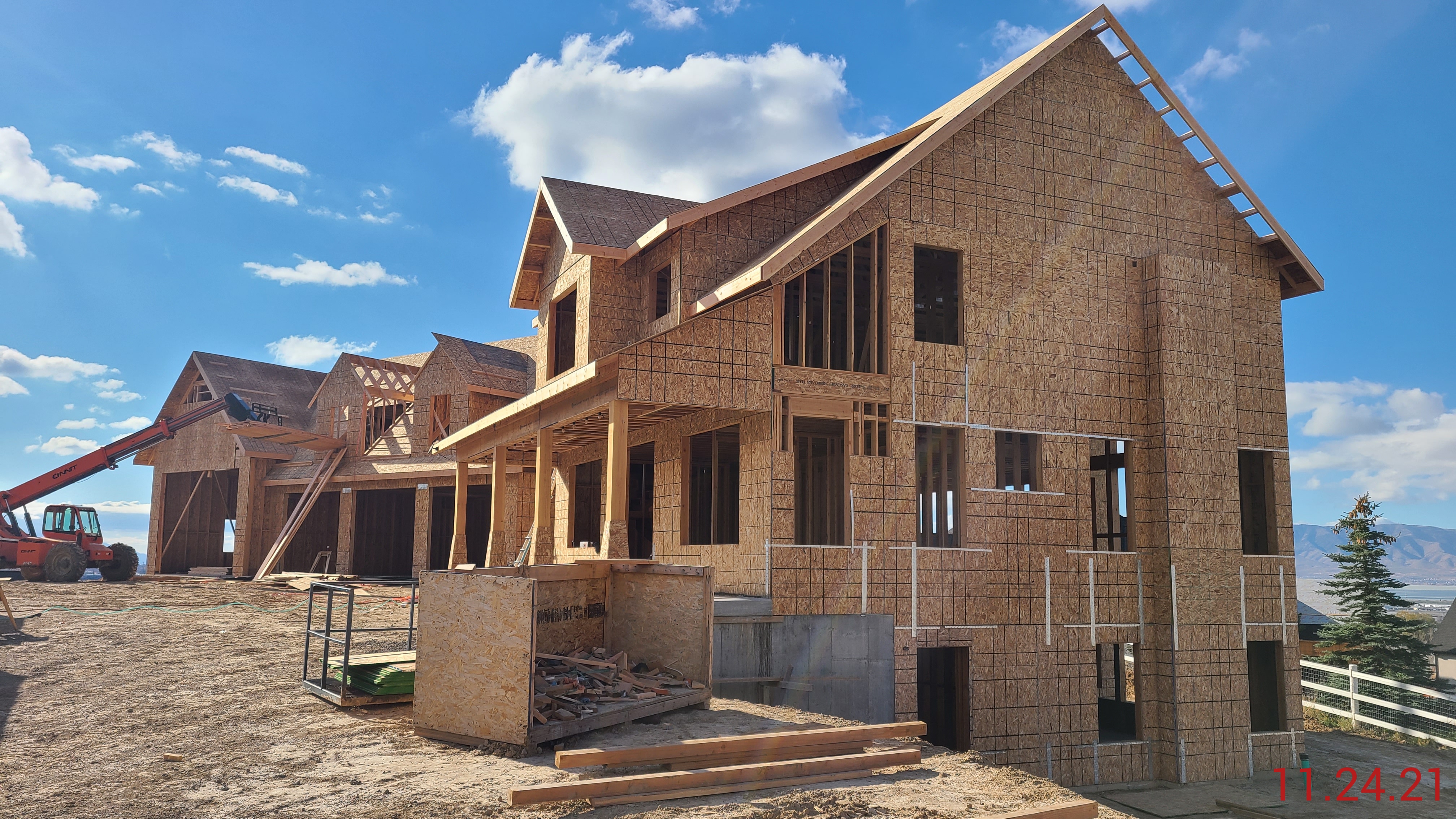 Total Photos: 1
|
| |
|
|
| Property Address: 510 E 800 NORTH - LINDON |
|
| Mailing Address: 510 E 800 N LINDON, UT 84042 |
|
| Acreage: 0.990698 |
|
| Last Document:
19412-2023
|
|
| Subdivision Map Filing |
|
| Taxing Description:
COM N 1273.97 FT & W 1711.68 FT FR SE COR. SEC. 27, T5S, R2E, SLB&M.; S 89 DEG 53' 37" W 122.03 FT; S 13 DEG 9' 17" W 327.53 FT; S 77 DEG 18' 48" E 133.85 FT; N 10 DEG 43' 14" E 354.75 FT TO BEG. AREA 0.991 AC.
*Taxing description NOT FOR LEGAL DOCUMENTS
|
|
- Owner Names
- Value History
- Tax History
- Location
- Photos
- Documents
- Aerial Image
| |
----- Real Estate Values ----- |
---Improvements--- |
---Greenbelt--- |
Total |
| Year |
Com |
Res |
Agr |
Tot |
Com |
Res |
Agr |
Tot |
Land |
Homesite |
Tot |
Market Value |
| 2024 |
$0 |
$341,400 |
$0 |
$341,400 |
$0 |
$1,658,600 |
$0 |
$1,658,600 |
$0 |
$0 |
$0 |
$2,000,000 |
| Year |
General Taxes |
Adjustments |
Net Taxes |
Fees |
Payments |
Tax Balance* |
Balance Due |
Tax District |
| 2025 |
$0.00 |
$0.00 |
$0.00 |
$0.00 |
|
$0.00
|
$0.00 |
080 - LINDON CITY |
| 2024 |
$11,000.52 |
($2,487.42) |
$8,513.10 |
$0.00 |
|
$0.00
|
$0.00 |
080 - LINDON CITY |
* Note: Original tax amount (Does not include applicable interest and/or fees).
| Entry # |
Date |
Recorded |
Type |
Party1 (Grantor) |
Party2 (Grantee) |
| 19413-2023 |
03/15/2023 |
03/29/2023 |
AGR |
WILSON, JEFFERY L & KAYLEEN R |
PLEASANT GROVE CITY |
| 19412-2023 |
03/21/2023 |
03/29/2023 |
DEDPLAT |
MURDOCK DRIVE STREET DEDICATION PLAT A |
PLEASANT GROVE CITY |
Main Menu Comments or Concerns on Value/Appraisal - Assessor's Office
Documents/Owner/Parcel information - Recorder's Office
Address Change for Tax Notice
This page was created on 4/6/2025 5:00:56 AM |