Property Information
mobile view
| Serial Number: 14:051:0156 |
Serial Life: 2010-2017 |
|
|
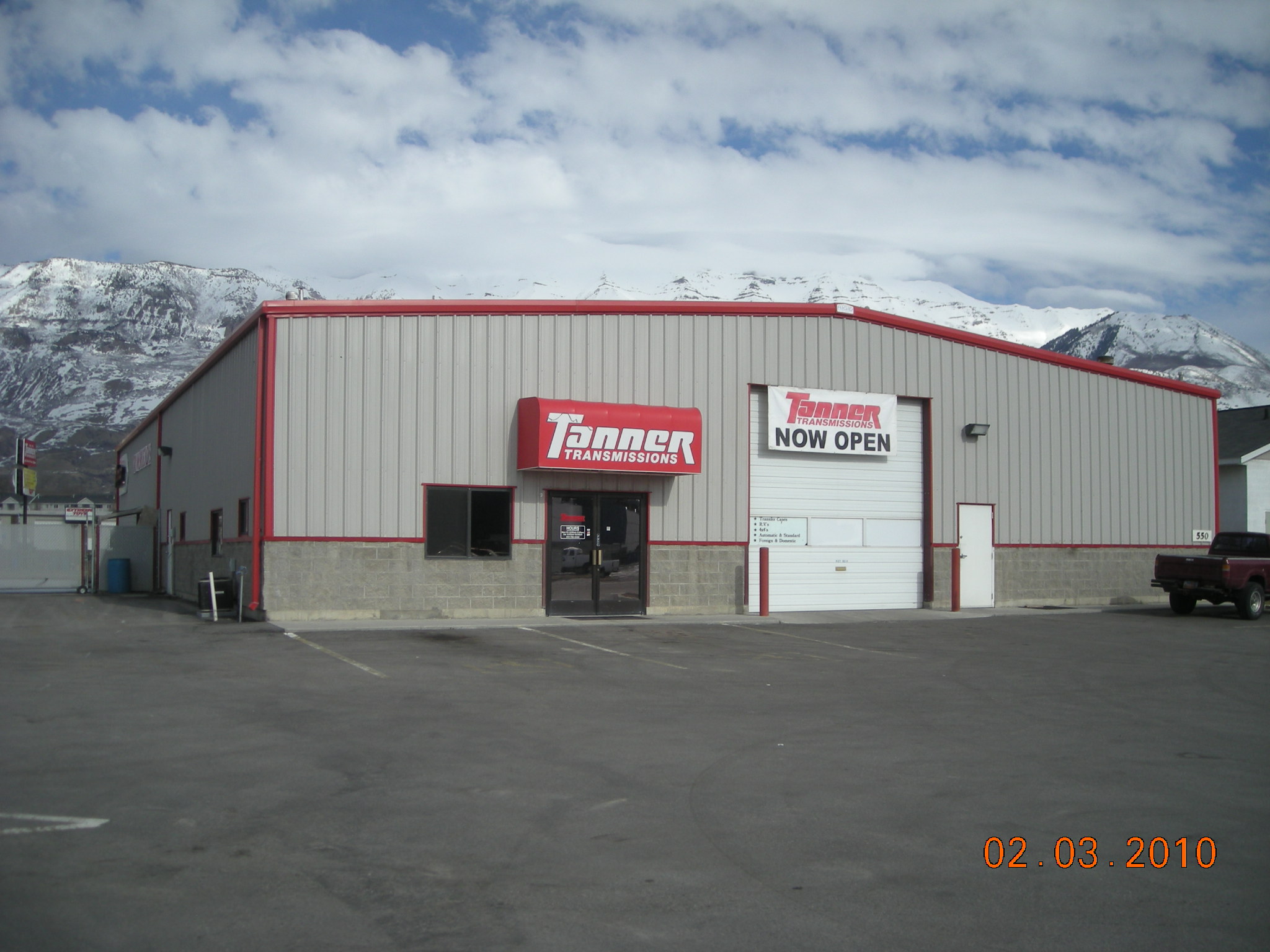 Total Photos: 2
|
| |
|
|
| Property Address: 550 W 220 SOUTH - PLEASANT GROVE |
|
| Mailing Address: 533 W STATE RD # 102 PLEASANT GROVE, UT 84062 |
|
| Acreage: 0.969753 |
|
| Last Document:
67108-2009
|
|
| Subdivision Map Filing |
|
| Taxing Description:
COM S 646.8 FT & E 1334.44 FT FR NW COR. SEC. 29, T5S, R2E, SLB&M.; N 37 DEG 51' 30" E 412.1 FT; ALONG A CURVE TO L (CHORD BEARS: S 35 DEG 44' 22" E 57.83 FT, RADIUS = 2310 FT); S 32 DEG 8' 9" E 62.08 FT; ALONG A CURVE TO L (CHORD BEARS: S 38 DEG 6' 13" E 9.36 FT, RADIUS = 2315.5 FT); S 37 DEG 51' 30" W 274.33 FT; S 89 DEG 18' 26" W 157.13 FT TO BEG. AREA 0.970 AC.
*Taxing description NOT FOR LEGAL DOCUMENTS
|
|
- Owner Names
- Value History
- Tax History
- Location
- Photos
- Documents
- Aerial Image
| |
----- Real Estate Values ----- |
---Improvements--- |
---Greenbelt--- |
Total |
| Year |
Com |
Res |
Agr |
Tot |
Com |
Res |
Agr |
Tot |
Land |
Homesite |
Tot |
Market Value |
| 2017 |
$376,000 |
$0 |
$0 |
$376,000 |
$205,200 |
$0 |
$0 |
$205,200 |
$0 |
$0 |
$0 |
$581,200 |
| 2016 |
$358,200 |
$0 |
$0 |
$358,200 |
$164,200 |
$0 |
$0 |
$164,200 |
$0 |
$0 |
$0 |
$522,400 |
| 2015 |
$341,300 |
$0 |
$0 |
$341,300 |
$164,200 |
$0 |
$0 |
$164,200 |
$0 |
$0 |
$0 |
$505,500 |
| 2014 |
$325,300 |
$0 |
$0 |
$325,300 |
$164,200 |
$0 |
$0 |
$164,200 |
$0 |
$0 |
$0 |
$489,500 |
| 2013 |
$295,771 |
$0 |
$0 |
$295,771 |
$164,229 |
$0 |
$0 |
$164,229 |
$0 |
$0 |
$0 |
$460,000 |
| 2012 |
$295,771 |
$0 |
$0 |
$295,771 |
$164,229 |
$0 |
$0 |
$164,229 |
$0 |
$0 |
$0 |
$460,000 |
| 2011 |
$295,771 |
$0 |
$0 |
$295,771 |
$164,229 |
$0 |
$0 |
$164,229 |
$0 |
$0 |
$0 |
$460,000 |
| 2010 |
$409,940 |
$0 |
$0 |
$409,940 |
$257,241 |
$0 |
$0 |
$257,241 |
$0 |
$0 |
$0 |
$667,181 |
| Year |
General Taxes |
Adjustments |
Net Taxes |
Fees |
Payments |
Tax Balance* |
Balance Due |
Tax District |
| 2017 |
$6,152.58 |
$0.00 |
$6,152.58 |
$0.00 |
|
$0.00
|
$0.00 |
070 - PLEASANT GROVE CITY |
| 2016 |
$5,728.12 |
$0.00 |
$5,728.12 |
$0.00 |
|
$0.00
|
$0.00 |
070 - PLEASANT GROVE CITY |
| 2015 |
$5,853.18 |
$0.00 |
$5,853.18 |
$0.00 |
|
$0.00
|
$0.00 |
070 - PLEASANT GROVE CITY |
| 2014 |
$5,721.77 |
$0.00 |
$5,721.77 |
$0.00 |
|
$0.00
|
$0.00 |
070 - PLEASANT GROVE CITY |
| 2013 |
$5,827.74 |
$0.00 |
$5,827.74 |
$0.00 |
|
$0.00
|
$0.00 |
070 - PLEASANT GROVE CITY |
| 2012 |
$5,957.46 |
$0.00 |
$5,957.46 |
$0.00 |
|
$0.00
|
$0.00 |
070 - PLEASANT GROVE CITY |
| 2011 |
$8,001.19 |
($2,079.15) |
$5,922.04 |
$0.00 |
|
$0.00
|
$0.00 |
070 - PLEASANT GROVE CITY |
| 2010 |
$8,036.86 |
$0.00 |
$8,036.86 |
$0.00 |
|
$0.00
|
$0.00 |
070 - PLEASANT GROVE CITY |
* Note: Original tax amount (Does not include applicable interest and/or fees).
| Entry # |
Date |
Recorded |
Type |
Party1 (Grantor) |
Party2 (Grantee) |
| 84345-2017 |
08/11/2017 |
08/29/2017 |
C PLAT |
AA DEVELOPMENT INC (ET AL) |
MAJESTIC MEADOWS CONDO PLAT G |
| 108638-2009 |
10/06/2009 |
10/14/2009 |
N |
PACIFICORP DBA (ET AL) |
WHOM OF INTEREST |
| 67108-2009 |
06/03/2009 |
06/17/2009 |
QCD |
TRIPLE FOCUS LLC |
UTAH DEPARTMENT OF TRANSPORTATION |
Main Menu Comments or Concerns on Value/Appraisal - Assessor's Office
Documents/Owner/Parcel information - Recorder's Office
Address Change for Tax Notice
This page was created on 3/22/2025 7:02:02 AM |
