Property Information
mobile view
| Serial Number: 14:063:0040 |
Serial Life: 2001-2008 |
|
|
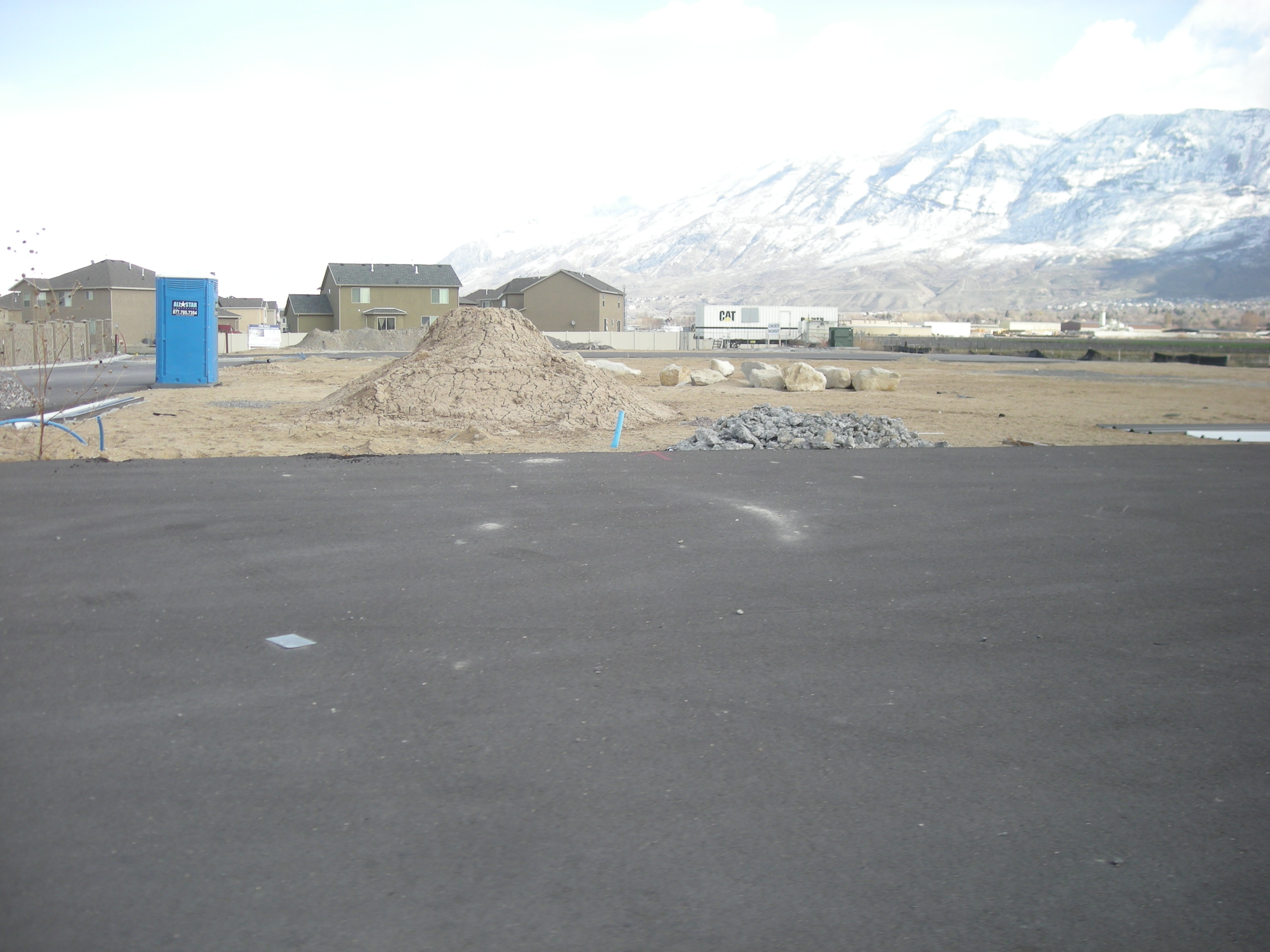
Total Photos: 1
|
| |
|
|
| Property Address: |
|
| Mailing Address: 12 W 100 N # 202C AMERICAN FORK, UT 84003-1611 |
|
| Acreage: 2.037401 |
|
| Last Document:
38001-2000
|
|
| Subdivision Map Filing |
|
| Taxing Description:
COM S 636.4 FT & E 347.78 FT FR NW. COR. SEC. 32, T5S, R2E, SLB&M.; N 86 DEG 25' 8" E 187.89 FT; S 0 DEG 19' 46" E 469.72 FT; S 88 DEG 0' 36" W 192.51 FT; N 0 DEG 16' 2" E 464.67 FT TO BEG. AREA 2.037 AC.
*Taxing description NOT FOR LEGAL DOCUMENTS
|
|
- Owner Names
- Value History
- Tax History
- Location
- Photos
- Documents
- Aerial Image
| |
----- Real Estate Values ----- |
---Improvements--- |
---Greenbelt--- |
Total |
| Year |
Com |
Res |
Agr |
Tot |
Com |
Res |
Agr |
Tot |
Land |
Homesite |
Tot |
Market Value |
| 2008 |
$0 |
$0 |
$43,000 |
$43,000 |
$0 |
$0 |
$0 |
$0 |
$0 |
$0 |
$0 |
$43,000 |
| 2007 |
$0 |
$0 |
$43,000 |
$43,000 |
$0 |
$0 |
$0 |
$0 |
$0 |
$0 |
$0 |
$43,000 |
| 2006 |
$0 |
$0 |
$35,798 |
$35,798 |
$0 |
$0 |
$0 |
$0 |
$0 |
$0 |
$0 |
$35,798 |
| 2005 |
$0 |
$0 |
$35,798 |
$35,798 |
$0 |
$0 |
$0 |
$0 |
$0 |
$0 |
$0 |
$35,798 |
| 2004 |
$0 |
$0 |
$35,798 |
$35,798 |
$0 |
$0 |
$0 |
$0 |
$0 |
$0 |
$0 |
$35,798 |
| 2003 |
$0 |
$0 |
$35,798 |
$35,798 |
$0 |
$0 |
$0 |
$0 |
$0 |
$0 |
$0 |
$35,798 |
| 2002 |
$0 |
$0 |
$35,798 |
$35,798 |
$0 |
$0 |
$0 |
$0 |
$0 |
$0 |
$0 |
$35,798 |
| 2001 |
$0 |
$0 |
$35,798 |
$35,798 |
$0 |
$0 |
$0 |
$0 |
$0 |
$0 |
$0 |
$35,798 |
| Year |
General Taxes |
Adjustments |
Net Taxes |
Fees |
Payments |
Tax Balance* |
Balance Due |
Tax District |
| 2008 |
$419.94 |
$0.00 |
$419.94 |
$0.00 |
|
$0.00
|
$0.00 |
085 - LINDON CITY W/WATER CONS |
| 2007 |
$414.99 |
$0.00 |
$414.99 |
$0.00 |
|
$0.00
|
$0.00 |
085 - LINDON CITY W/WATER CONS |
| 2006 |
$366.29 |
$0.00 |
$366.29 |
$0.00 |
|
$0.00
|
$0.00 |
085 - LINDON CITY W/WATER CONS |
| 2005 |
$421.27 |
$0.00 |
$421.27 |
$0.00 |
|
$0.00
|
$0.00 |
085 - LINDON CITY W/WATER CONS |
| 2004 |
$421.31 |
$0.00 |
$421.31 |
$0.00 |
|
$0.00
|
$0.00 |
085 - LINDON CITY W/WATER CONS |
| 2003 |
$413.93 |
$0.00 |
$413.93 |
$0.00 |
|
$0.00
|
$0.00 |
085 - LINDON CITY W/WATER CONS |
| 2002 |
$379.78 |
$0.00 |
$379.78 |
$0.00 |
|
$0.00
|
$0.00 |
085 - LINDON CITY W/WATER CONS |
| 2001 |
$379.35 |
$0.00 |
$379.35 |
$0.00 |
|
$0.00
|
$0.00 |
085 - LINDON CITY W/WATER CONS |
* Note: Original tax amount (Does not include applicable interest and/or fees).
| Entry # |
Date |
Recorded |
Type |
Party1 (Grantor) |
Party2 (Grantee) |
| 45555-2008 |
04/17/2008 |
04/17/2008 |
EAS |
DYRENG WEST DEVELOPMENT LLC |
ALL PUBLIC UTILITY AGENCIES |
| 20504-2008 |
02/20/2008 |
02/21/2008 |
BLA |
DYRENG/WEST DEVELOPMENT LLC |
BOYD ANDERSON AND SONS INC |
| 141432-2007 |
09/27/2007 |
09/28/2007 |
D TR |
DYRENG WEST DEVELOPMENT LLC |
FAR WEST BANK |
| 141431-2007 |
09/27/2007 |
09/28/2007 |
WD |
MOUNTAIN RIDGE PROPERTIES LC |
DYRENG/WEST DEVELOPMENT LLC |
| 38001-2000 |
05/10/2000 |
05/12/2000 |
CORR AF |
MOUNTAIN WEST TITLE CO |
MOUNTAIN RIDGE PROPERTIES LC |
Main Menu Comments or Concerns on Value/Appraisal - Assessor's Office
Documents/Owner/Parcel information - Recorder's Office
Address Change for Tax Notice
This page was created on 7/21/2024 7:34:31 AM |