Property Information
mobile view
| Serial Number: 17:031:0092 |
Serial Life: 2001 |
|
|
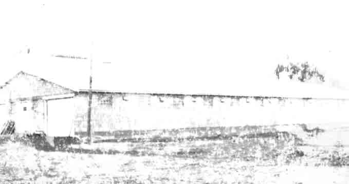
Total Photos: 1
|
| |
|
|
| Property Address: |
|
| Mailing Address: 1433 N 1200 W OREM, UT 84057 |
|
| Acreage: 0.108889 |
|
| Last Document:
56215-2000
|
|
| Subdivision Map Filing |
|
| Taxing Description:
COM S 1848 FT & E 297 FT FR W 1/4 COR. SEC. 9, T6S, R2E, SLB&M.; N 2 DEG 20' 0" W 372.44 FT; N 88 DEG 45' 0" E 12.8 FT; S 2 DEG 18' 46" E 372.71 FT; W 12.67 FT TO BEG. AREA 0.109 AC.
*Taxing description NOT FOR LEGAL DOCUMENTS
|
|
- Owner Names
- Value History
- Tax History
- Location
- Photos
- Documents
- Aerial Image
Main Menu Comments or Concerns on Value/Appraisal - Assessor's Office
Documents/Owner/Parcel information - Recorder's Office
Address Change for Tax Notice
This page was created on 7/16/2024 5:30:32 AM |