Property Information
mobile view
| Serial Number: 17:042:0109 |
Serial Life: 2007... |
|
|
Total Photos: 5
|
| |
|
|
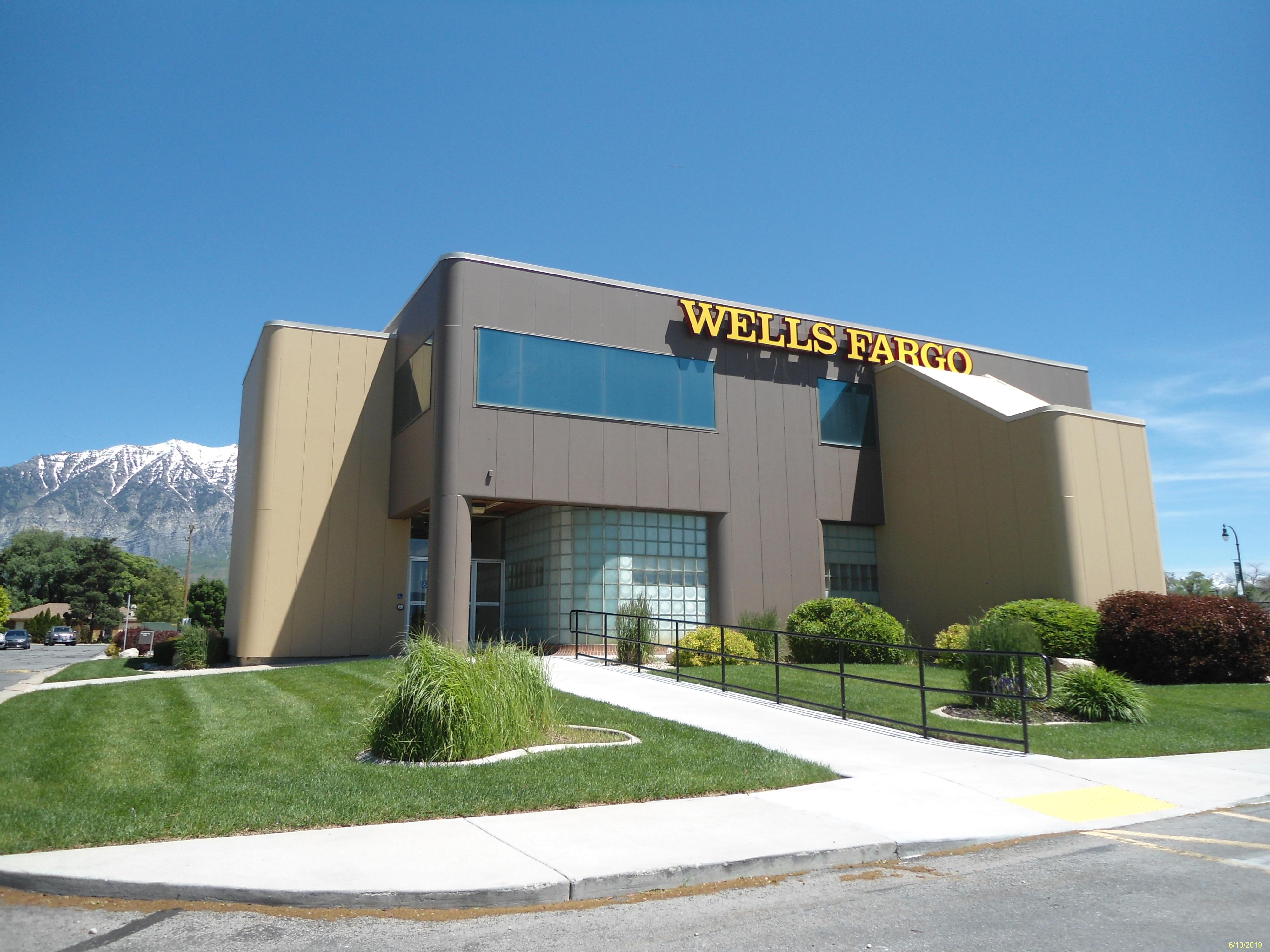
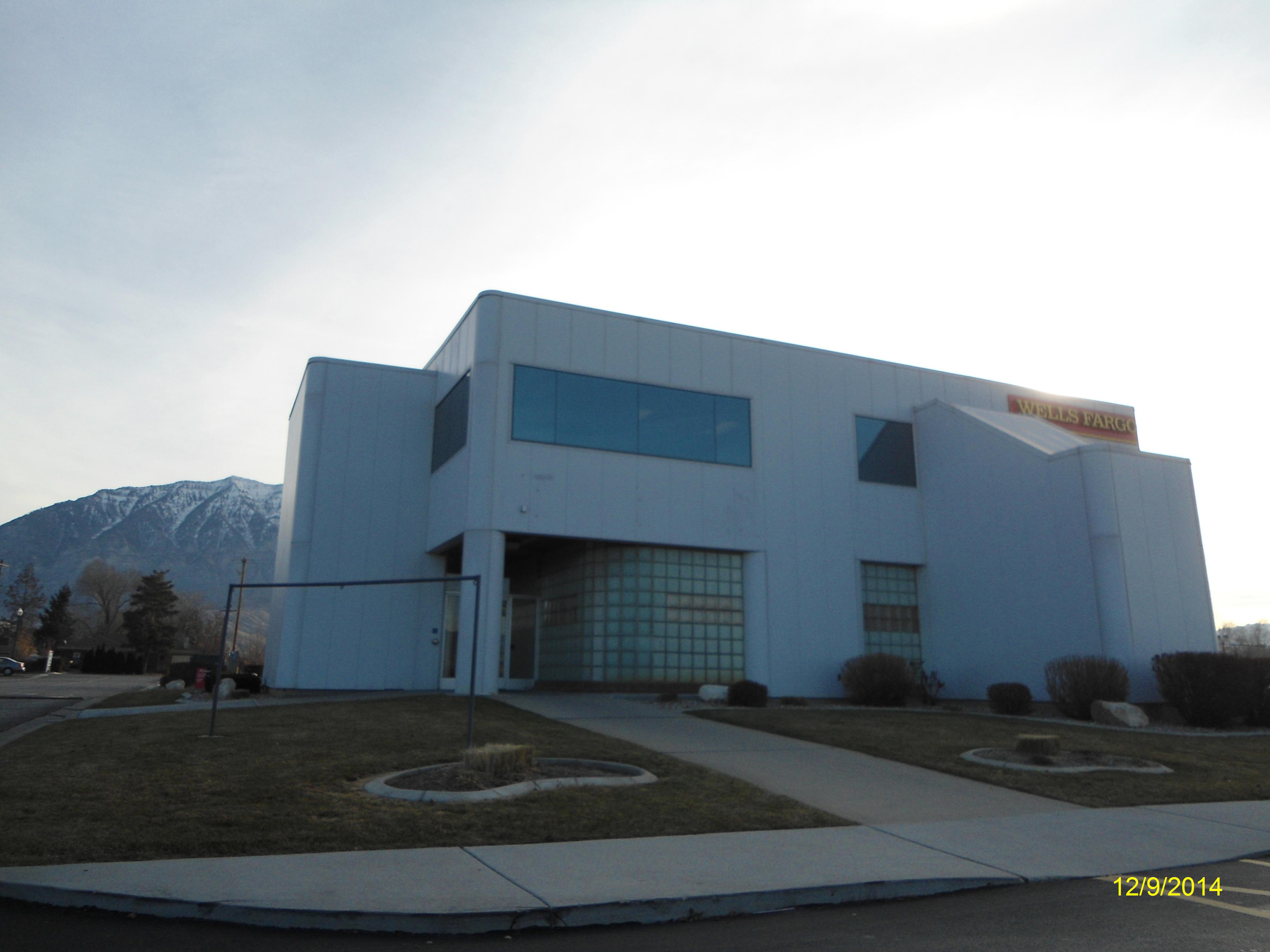
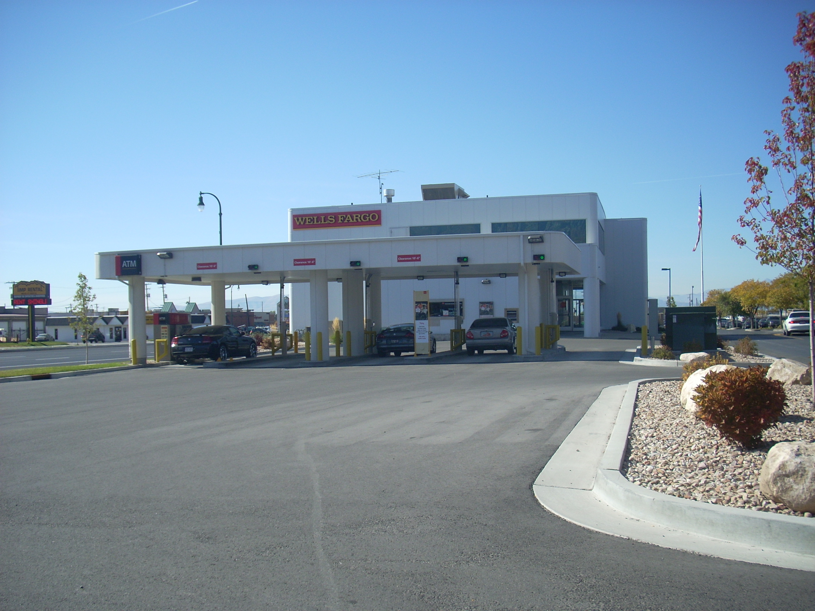
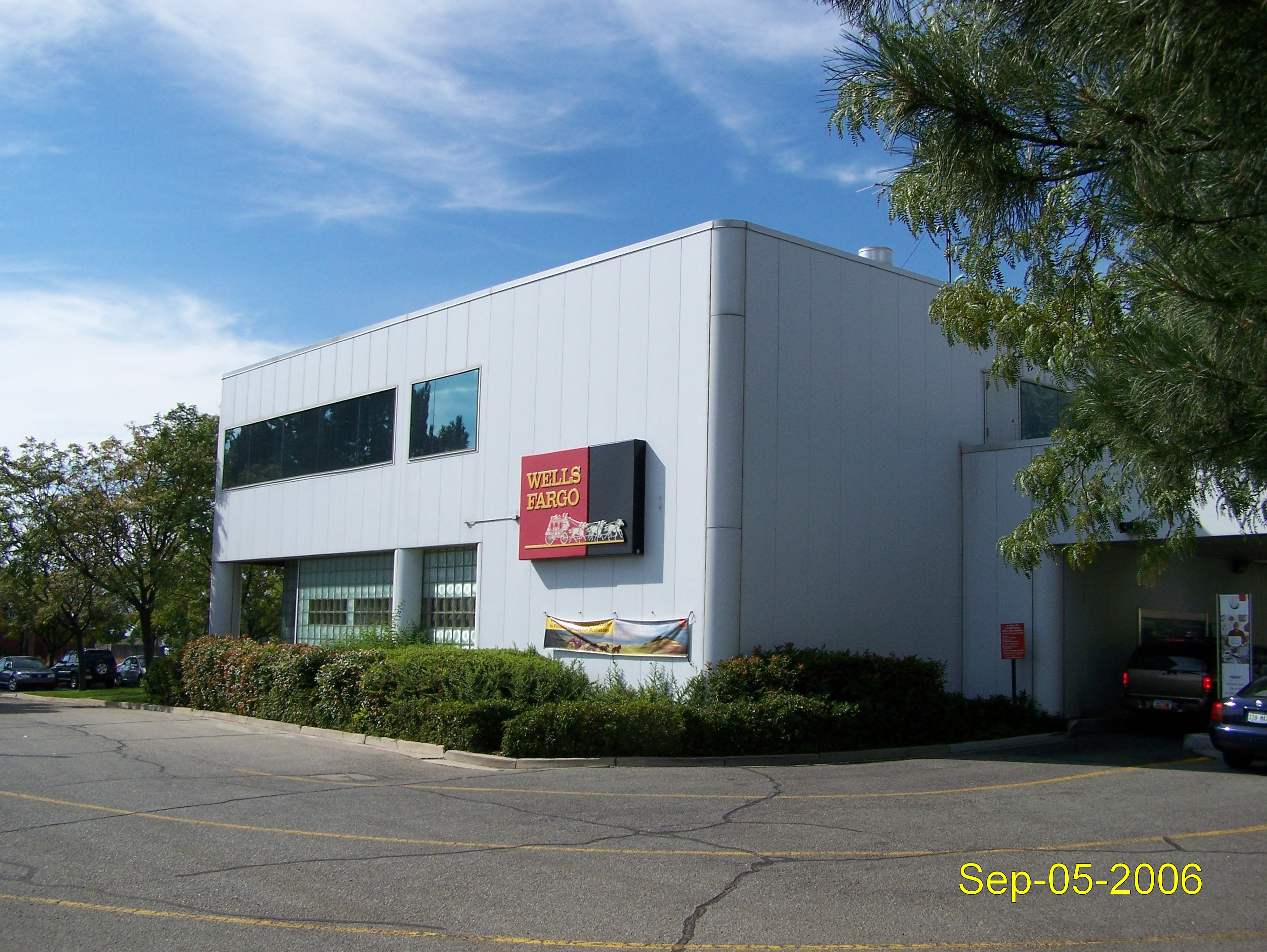
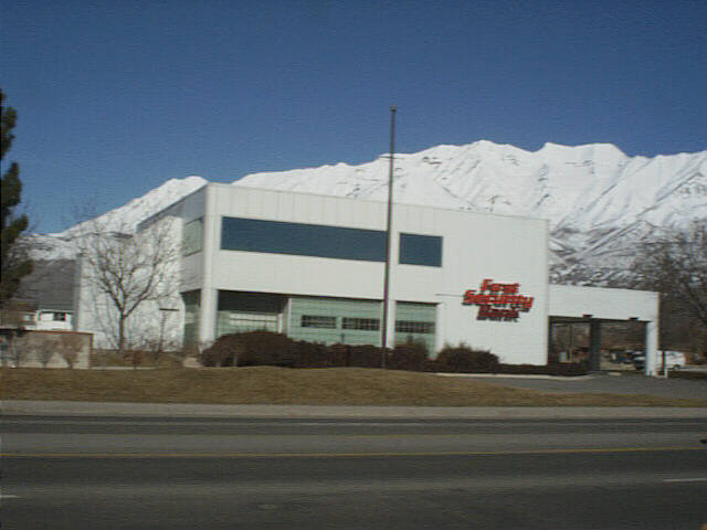
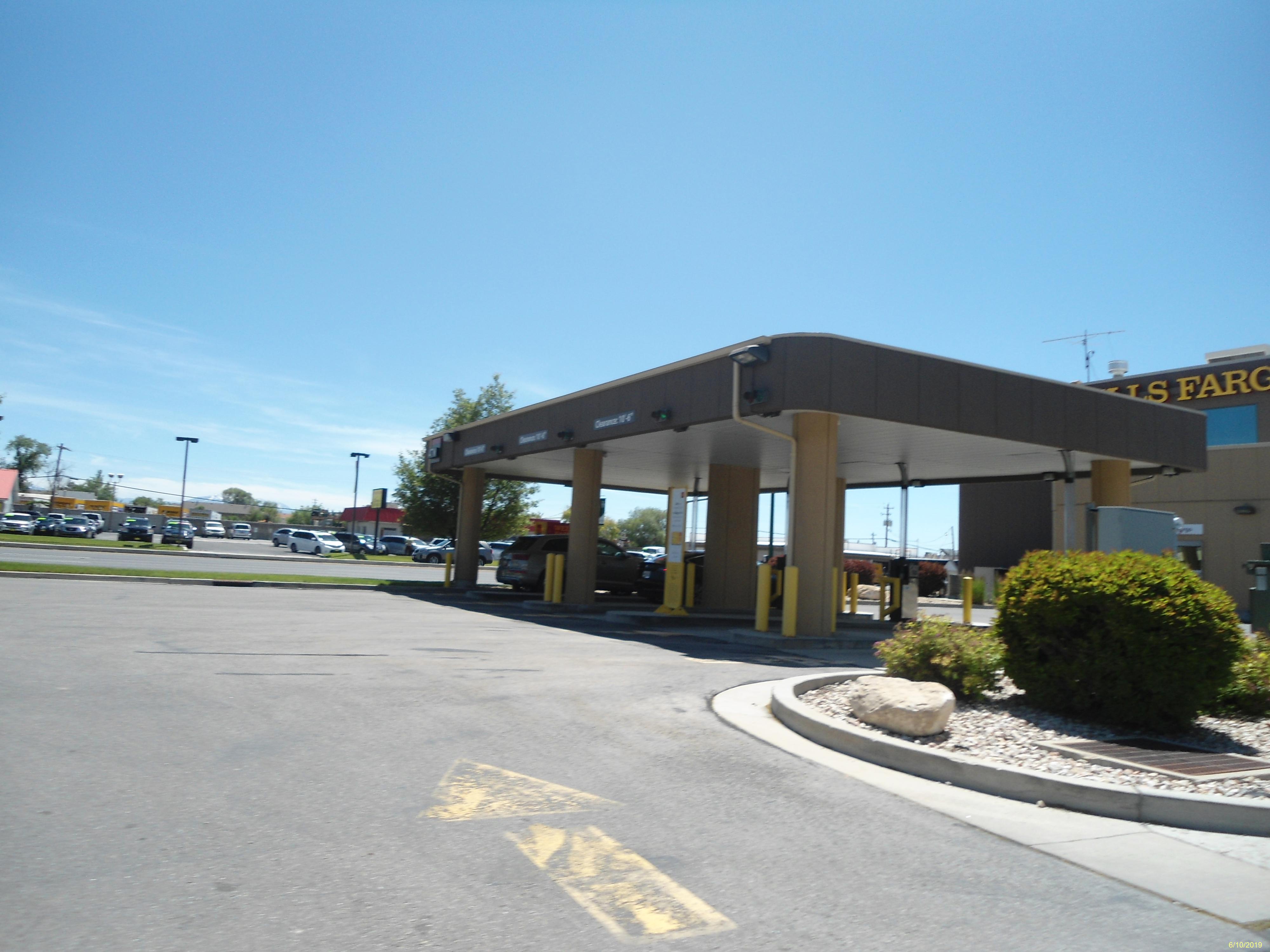
| Property Address: 811 N STATE - OREM |
|
| Mailing Address: %RYAN LLC PO BOX 2609 CARLSBAD, CA 92018-2609 |
|
| Acreage: 0.454 |
|
| Last Document:
123809-2006
|
|
| Subdivision Map Filing |
|
| Taxing Description:
COM N 86.75 FT & W 847.53 FT FR E 1/4 COR. SEC. 10, T6S, R2E, SLB&M.; S 89 DEG 55' 17" W 58.55 FT; N 85 DEG 37' 28" W 141.64 FT; S 89 DEG 55' 17" W 37.25 FT; N 0 DEG 8' 6" W 77.38 FT; N 89 DEG 51' 54" E 237 FT; S 0 DEG 8' 6" E 88.62 FT TO BEG. AREA 0.454 AC.
*Taxing description NOT FOR LEGAL DOCUMENTS
|
|
- Owner Names
- Value History
- Tax History
- Location
- Photos
- Documents
- Aerial Image
| |
----- Real Estate Values ----- |
---Improvements--- |
---Greenbelt--- |
Total |
| Year |
Com |
Res |
Agr |
Tot |
Com |
Res |
Agr |
Tot |
Land |
Homesite |
Tot |
Market Value |
| 2024 |
$426,600 |
$0 |
$0 |
$426,600 |
$1,509,000 |
$0 |
$0 |
$1,509,000 |
$0 |
$0 |
$0 |
$1,935,600 |
| 2023 |
$403,200 |
$0 |
$0 |
$403,200 |
$1,413,600 |
$0 |
$0 |
$1,413,600 |
$0 |
$0 |
$0 |
$1,816,800 |
| 2022 |
$399,700 |
$0 |
$0 |
$399,700 |
$1,300,800 |
$0 |
$0 |
$1,300,800 |
$0 |
$0 |
$0 |
$1,700,500 |
| 2021 |
$393,300 |
$0 |
$0 |
$393,300 |
$1,113,800 |
$0 |
$0 |
$1,113,800 |
$0 |
$0 |
$0 |
$1,507,100 |
| 2020 |
$393,300 |
$0 |
$0 |
$393,300 |
$1,113,800 |
$0 |
$0 |
$1,113,800 |
$0 |
$0 |
$0 |
$1,507,100 |
| 2019 |
$363,900 |
$0 |
$0 |
$363,900 |
$1,090,500 |
$0 |
$0 |
$1,090,500 |
$0 |
$0 |
$0 |
$1,454,400 |
| 2018 |
$346,700 |
$0 |
$0 |
$346,700 |
$943,300 |
$0 |
$0 |
$943,300 |
$0 |
$0 |
$0 |
$1,290,000 |
| 2017 |
$330,300 |
$0 |
$0 |
$330,300 |
$943,300 |
$0 |
$0 |
$943,300 |
$0 |
$0 |
$0 |
$1,273,600 |
| 2016 |
$314,600 |
$0 |
$0 |
$314,600 |
$943,300 |
$0 |
$0 |
$943,300 |
$0 |
$0 |
$0 |
$1,257,900 |
| 2015 |
$294,100 |
$0 |
$0 |
$294,100 |
$943,300 |
$0 |
$0 |
$943,300 |
$0 |
$0 |
$0 |
$1,237,400 |
| 2014 |
$280,200 |
$0 |
$0 |
$280,200 |
$943,300 |
$0 |
$0 |
$943,300 |
$0 |
$0 |
$0 |
$1,223,500 |
| 2013 |
$254,700 |
$0 |
$0 |
$254,700 |
$943,300 |
$0 |
$0 |
$943,300 |
$0 |
$0 |
$0 |
$1,198,000 |
| 2012 |
$254,700 |
$0 |
$0 |
$254,700 |
$943,300 |
$0 |
$0 |
$943,300 |
$0 |
$0 |
$0 |
$1,198,000 |
| 2011 |
$254,700 |
$0 |
$0 |
$254,700 |
$943,300 |
$0 |
$0 |
$943,300 |
$0 |
$0 |
$0 |
$1,198,000 |
| 2010 |
$276,900 |
$0 |
$0 |
$276,900 |
$992,900 |
$0 |
$0 |
$992,900 |
$0 |
$0 |
$0 |
$1,269,800 |
| 2009 |
$276,900 |
$0 |
$0 |
$276,900 |
$992,900 |
$0 |
$0 |
$992,900 |
$0 |
$0 |
$0 |
$1,269,800 |
| 2008 |
$276,900 |
$0 |
$0 |
$276,900 |
$992,900 |
$0 |
$0 |
$992,900 |
$0 |
$0 |
$0 |
$1,269,800 |
| 2007 |
$564,000 |
$0 |
$0 |
$564,000 |
$1,073,400 |
$0 |
$0 |
$1,073,400 |
$0 |
$0 |
$0 |
$1,637,400 |
| Year |
General Taxes |
Adjustments |
Net Taxes |
Fees |
Payments |
Tax Balance* |
Balance Due |
Tax District |
| 2025 |
$0.00 |
$0.00 |
$0.00 |
$0.00 |
|
$0.00
|
$0.00 |
090 - OREM CITY |
| 2024 |
$0.00 |
$0.00 |
$0.00 |
$0.00 |
|
$0.00
|
$0.00 |
090 - OREM CITY |
| 2023 |
$13,824.03 |
$0.00 |
$13,824.03 |
$0.00 |
|
$0.00
|
$0.00 |
090 - OREM CITY |
| 2022 |
$13,355.73 |
$0.00 |
$13,355.73 |
$0.00 |
|
$0.00
|
$0.00 |
090 - OREM CITY |
| 2021 |
$14,208.94 |
$0.00 |
$14,208.94 |
$0.00 |
|
$0.00
|
$0.00 |
090 - OREM CITY |
| 2020 |
$14,457.61 |
$0.00 |
$14,457.61 |
$0.00 |
|
$0.00
|
$0.00 |
090 - OREM CITY |
| 2019 |
$13,416.84 |
$0.00 |
$13,416.84 |
$0.00 |
|
$0.00
|
$0.00 |
090 - OREM CITY |
| 2018 |
$12,454.95 |
$0.00 |
$12,454.95 |
$0.00 |
|
$0.00
|
$0.00 |
090 - OREM CITY |
| 2017 |
$12,625.20 |
$0.00 |
$12,625.20 |
$0.00 |
|
$0.00
|
$0.00 |
090 - OREM CITY |
| 2016 |
$13,522.43 |
$0.00 |
$13,522.43 |
$0.00 |
|
$0.00
|
$0.00 |
090 - OREM CITY |
| 2015 |
$14,065.53 |
$0.00 |
$14,065.53 |
$0.00 |
|
$0.00
|
$0.00 |
090 - OREM CITY |
| 2014 |
$13,971.15 |
$0.00 |
$13,971.15 |
$0.00 |
|
$0.00
|
$0.00 |
090 - OREM CITY |
| 2013 |
$14,752.17 |
$0.00 |
$14,752.17 |
$0.00 |
|
$0.00
|
$0.00 |
090 - OREM CITY |
| 2012 |
$15,056.46 |
$0.00 |
$15,056.46 |
$0.00 |
|
$0.00
|
$0.00 |
090 - OREM CITY |
| 2011 |
$14,984.58 |
$0.00 |
$14,984.58 |
$0.00 |
|
$0.00
|
$0.00 |
090 - OREM CITY |
| 2010 |
$14,869.36 |
$0.00 |
$14,869.36 |
$0.00 |
|
$0.00
|
$0.00 |
090 - OREM CITY |
| 2009 |
$13,783.68 |
$0.00 |
$13,783.68 |
$0.00 |
|
$0.00
|
$0.00 |
090 - OREM CITY |
| 2008 |
$12,772.92 |
$0.00 |
$12,772.92 |
$0.00 |
|
$0.00
|
$0.00 |
090 - OREM CITY |
| 2007 |
$16,282.31 |
$0.00 |
$16,282.31 |
$0.00 |
|
$0.00
|
$0.00 |
090 - OREM CITY |
* Note: Original tax amount (Does not include applicable interest and/or fees).
| Entry # |
Date |
Recorded |
Type |
Party1 (Grantor) |
Party2 (Grantee) |
| 123809-2006 |
09/18/2006 |
09/20/2006 |
WD |
WELLS FARGO BANK |
UTAH DEPARTMENT OF TRANSPORTATION |
Main Menu Comments or Concerns on Value/Appraisal - Assessor's Office
Documents/Owner/Parcel information - Recorder's Office
Address Change for Tax Notice
This page was created on 7/20/2024 3:21:49 PM |