Property Information
mobile view
| Serial Number: 18:047:0087 |
Serial Life: 2019... |
|
|
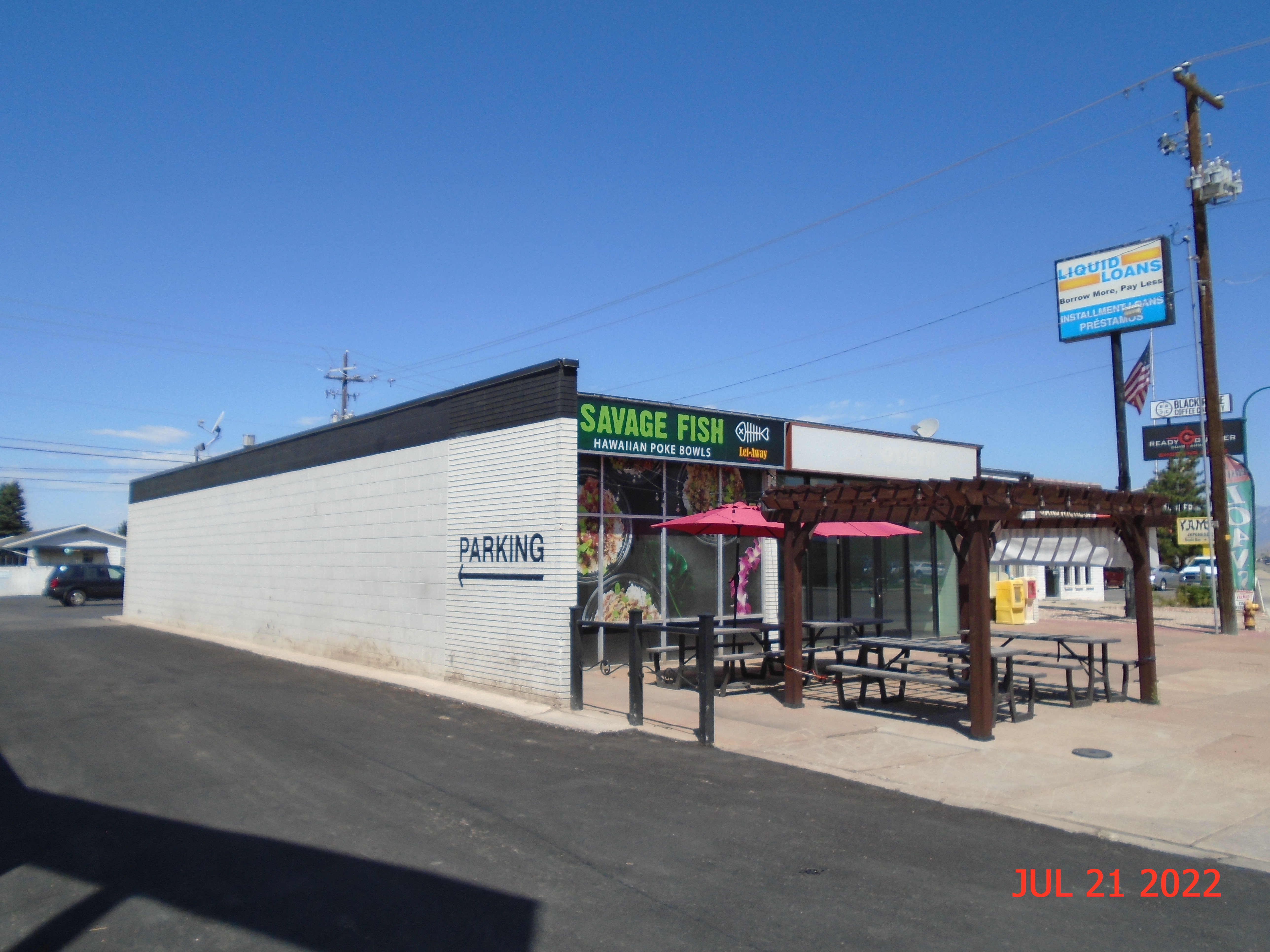
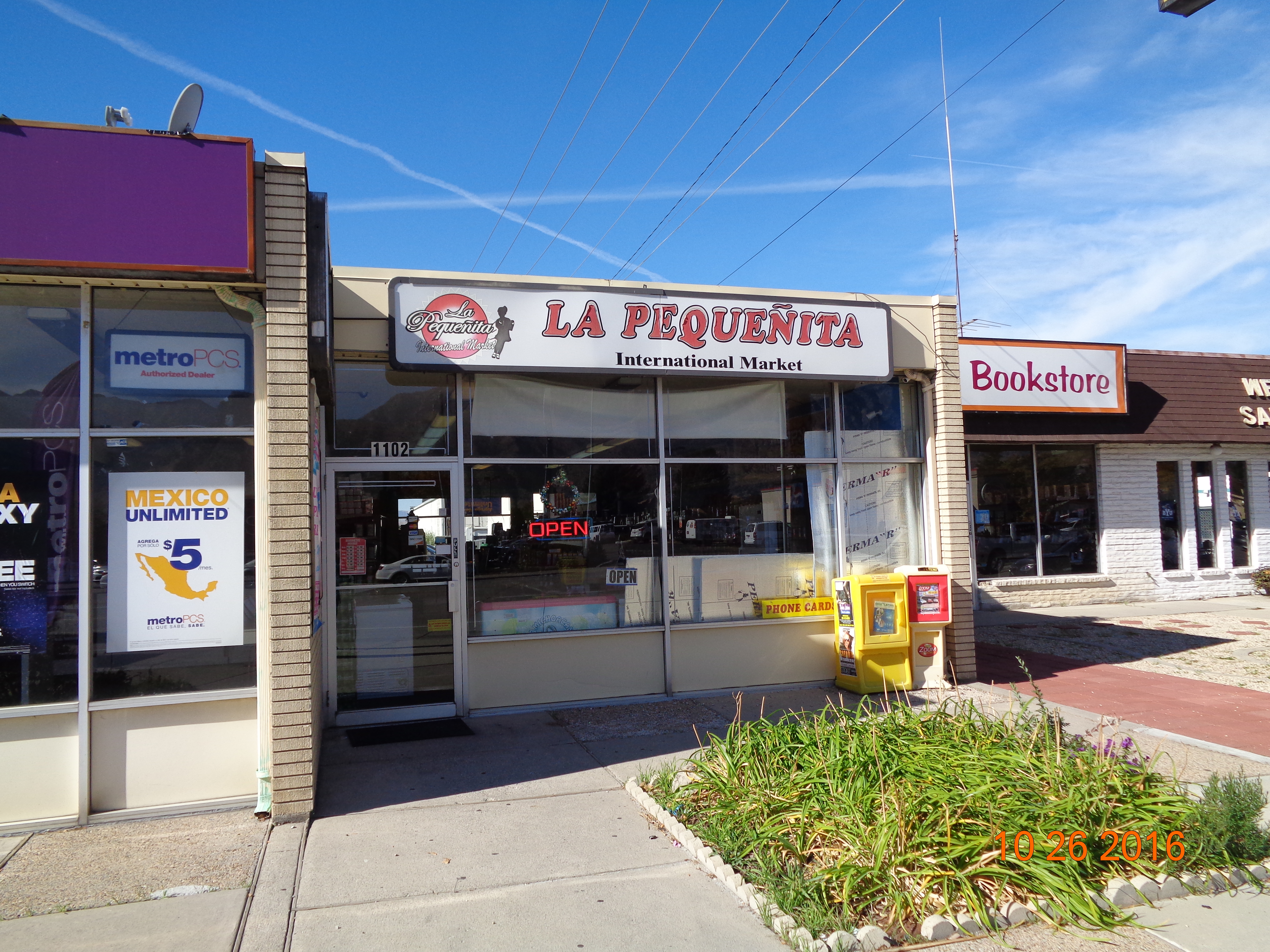 Total Photos: 18
|
| |
|
|
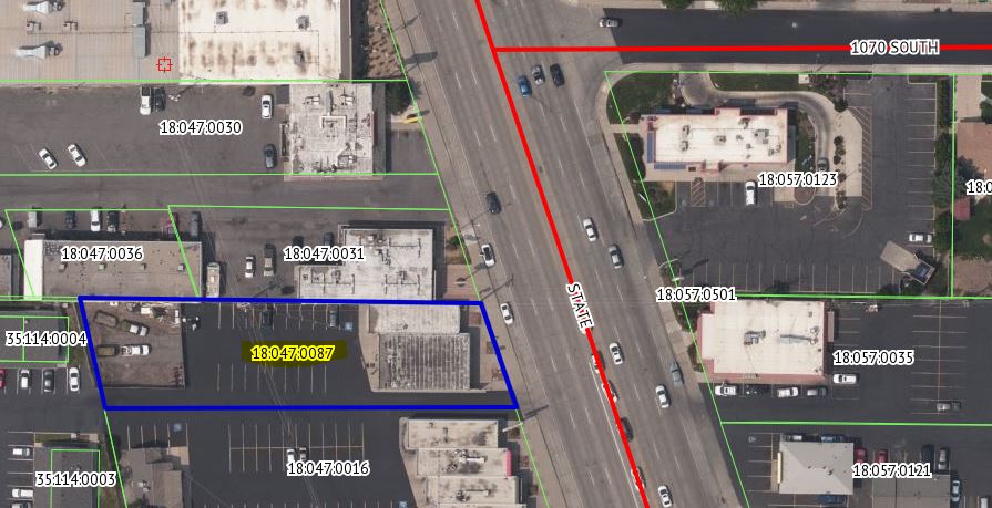
| Property Address: 1110 S STATE ST - OREM |
|
| Mailing Address: 11428 CASTLE RIDGE DR SANDY, UT 84092 |
|
| Acreage: 0.455457 |
|
| Last Document:
9570-2018
|
|
| Subdivision Map Filing |
|
| Taxing Description:
COM N 666.25 FT & W 214.96 FT FR S 1/4 COR. SEC. 23, T6S, R2E, SLB&M.; N 89 DEG 4' 40" W 271.38 FT; S 12 DEG 41' 30" E 76.52 FT; E 277.71 FT; N 18 DEG 15' 0" W 74.01 FT TO BEG. AREA 0.455 AC.
*Taxing description NOT FOR LEGAL DOCUMENTS
|
|
- Owner Names
- Value History
- Tax History
- Location
- Photos
- Documents
- Aerial Image
| |
----- Real Estate Values ----- |
---Improvements--- |
---Greenbelt--- |
Total |
| Year |
Com |
Res |
Agr |
Tot |
Com |
Res |
Agr |
Tot |
Land |
Homesite |
Tot |
Market Value |
| 2024 |
$364,900 |
$0 |
$0 |
$364,900 |
$286,500 |
$0 |
$0 |
$286,500 |
$0 |
$0 |
$0 |
$651,400 |
| 2023 |
$331,700 |
$0 |
$0 |
$331,700 |
$271,600 |
$0 |
$0 |
$271,600 |
$0 |
$0 |
$0 |
$603,300 |
| 2022 |
$327,300 |
$0 |
$0 |
$327,300 |
$172,600 |
$0 |
$0 |
$172,600 |
$0 |
$0 |
$0 |
$499,900 |
| 2021 |
$276,000 |
$0 |
$0 |
$276,000 |
$149,400 |
$0 |
$0 |
$149,400 |
$0 |
$0 |
$0 |
$425,400 |
| 2020 |
$276,000 |
$0 |
$0 |
$276,000 |
$171,800 |
$0 |
$0 |
$171,800 |
$0 |
$0 |
$0 |
$447,800 |
| 2019 |
$265,400 |
$0 |
$0 |
$265,400 |
$174,000 |
$0 |
$0 |
$174,000 |
$0 |
$0 |
$0 |
$439,400 |
| Year |
General Taxes |
Adjustments |
Net Taxes |
Fees |
Payments |
Tax Balance* |
Balance Due |
Tax District |
| 2025 |
$0.00 |
$0.00 |
$0.00 |
$0.00 |
|
$0.00
|
$0.00 |
090 - OREM CITY |
| 2024 |
$0.00 |
$0.00 |
$0.00 |
$0.00 |
|
($459.00)
|
($459.00) |
090 - OREM CITY |
| 2023 |
$4,590.51 |
$0.00 |
$4,590.51 |
$0.00 |
|
$0.00
|
$0.00 |
090 - OREM CITY |
| 2022 |
$3,926.21 |
$0.00 |
$3,926.21 |
$0.00 |
|
$0.00
|
$0.00 |
090 - OREM CITY |
| 2021 |
$4,010.67 |
$0.00 |
$4,010.67 |
$0.00 |
|
$0.00
|
$0.00 |
090 - OREM CITY |
| 2020 |
$4,295.75 |
$0.00 |
$4,295.75 |
$0.00 |
|
$0.00
|
$0.00 |
090 - OREM CITY |
| 2019 |
$4,053.47 |
$0.00 |
$4,053.47 |
$0.00 |
|
$0.00
|
$0.00 |
090 - OREM CITY |
* Note: Original tax amount (Does not include applicable interest and/or fees).
| Entry # |
Date |
Recorded |
Type |
Party1 (Grantor) |
Party2 (Grantee) |
| 10931-2024 |
02/22/2024 |
02/22/2024 |
REC |
ALTABANK TEE |
PLAZA ELEVEN HUNDRED (ET AL) |
| 9586-2024 |
02/14/2024 |
02/15/2024 |
WD |
PLAZA ELEVEN HUNDRED |
NASH 1100 LLC |
| 9680-2018 |
01/26/2018 |
01/30/2018 |
RSUBTEE |
SALISBURY FAMILY TRUST (ET AL) |
PLAZA ELEVEN HUNDRED |
| 9679-2018 |
01/30/2018 |
01/30/2018 |
REC |
OLD REPUBLIC NATIONAL TITLE INSURANCE COMPANY TEE |
PLAZA ELEVEN HUNDRED |
| 9572-2018 |
01/29/2017 |
01/30/2018 |
ASSIGN |
PLAZA ELEVEN HUNDRED |
BANK OF AMERICAN FORK DIV OF (ET AL) |
| 9571-2018 |
01/29/2018 |
01/30/2018 |
D TR |
PLAZA ELEVEN HUNDRED 1/2 INT (ET AL) |
BANK OF AMERICAN FORK DIV OF (ET AL) |
| 9570-2018 |
01/29/2018 |
01/30/2018 |
WD |
PLAZA ELEVEN HUNDRED |
PLAZA ELEVEN HUNDRED |
Main Menu Comments or Concerns on Value/Appraisal - Assessor's Office
Documents/Owner/Parcel information - Recorder's Office
Address Change for Tax Notice
This page was created on 9/28/2024 9:48:55 PM |