Property Information
mobile view
| Serial Number: 19:022:0104 |
Serial Life: 2011 |
|
|

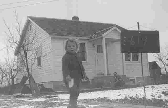
Total Photos: 2
|
| |
|
|
| Property Address: |
|
| Mailing Address: 434 E 1600 S OREM, UT 84058-7909 |
|
| Acreage: 0.250795 |
|
| Last Document:
91922-2010
|
|
| Subdivision Map Filing |
|
| Taxing Description:
COM N 2614.53 FT & E 214.44 FT FR S 1/4 COR. SEC. 26, T6S, R2E, SLB&M; N 89 DEG 23' 24" W 57.92 FT; S 0 DEG 31' 34" E 209.63 FT; N 69 DEG 50' 35" E 54.96 FT; N 1 DEG 19' 34" E 190.11 FT TO BEG. AREA 0.251 AC.
*Taxing description NOT FOR LEGAL DOCUMENTS
|
|
- Owner Names
- Value History
- Tax History
- Location
- Photos
- Documents
- Aerial Image
| |
----- Real Estate Values ----- |
---Improvements--- |
---Greenbelt--- |
Total |
| Year |
Com |
Res |
Agr |
Tot |
Com |
Res |
Agr |
Tot |
Land |
Homesite |
Tot |
Market Value |
| 2011 |
$0 |
$71,500 |
$0 |
$71,500 |
$0 |
$66,200 |
$0 |
$66,200 |
$0 |
$0 |
$0 |
$137,700 |
| Year |
General Taxes |
Adjustments |
Net Taxes |
Fees |
Payments |
Tax Balance* |
Balance Due |
Tax District |
| 2011 |
$947.29 |
$0.00 |
$947.29 |
$0.00 |
|
$0.00
|
$0.00 |
090 - OREM CITY |
* Note: Original tax amount (Does not include applicable interest and/or fees).
| Entry # |
Date |
Recorded |
Type |
Party1 (Grantor) |
Party2 (Grantee) |
| 24962-2011 |
03/29/2011 |
03/30/2011 |
BLA |
SORENSEN, DON D & DIXIE (ET AL) |
VILLAGE APARTMENTS SALT LAKE LP |
| 100471-2010 |
11/02/2010 |
11/18/2010 |
RSUBTEE |
JPMORGAN CHASE BANK (ET AL) |
PLATT, GORDON L |
| 91922-2010 |
10/22/2010 |
10/25/2010 |
WD |
PLATT, GORDON L |
SORENSEN, CORINE & DON D |
| 34741-2010 |
04/28/2010 |
04/29/2010 |
QCD |
PLATT, GORDON L |
CITY OF OREM THE |
Main Menu Comments or Concerns on Value/Appraisal - Assessor's Office
Documents/Owner/Parcel information - Recorder's Office
Address Change for Tax Notice
This page was created on 7/17/2024 5:23:44 AM |