Property Information
mobile view
| Serial Number: 24:016:0023 |
Serial Life: 2008-2013 |
|
|
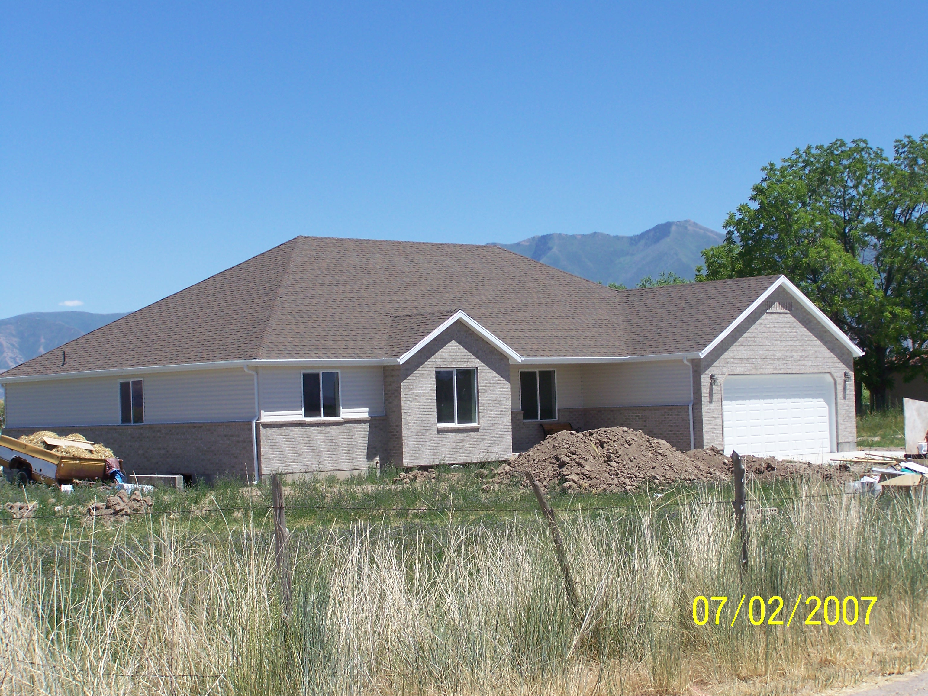 Total Photos: 1
|
| |
|
|
| Property Address: SPANISH FORK DISTR |
|
| Mailing Address: 2566 W 4600 S SPANISH FORK, UT 84660-5322 |
|
| Acreage: 4.680554 |
|
| Last Document:
144851-2007
|
|
| Subdivision Map Filing |
|
| Taxing Description:
COM S 1301.17 FT & W 1316.4 FT FR E 1/4 COR. SEC. 4, T8S, R2E, SLB&M.; N 29 DEG 45' 0" W 227.63 FT; N 73 DEG 38' 20" E 847.59 FT; S 21 DEG 4' 55" W 303.42 FT; S 43 DEG 54' 43" W 157.61 FT; S 2 DEG 38' 19" W 39.77 FT; W 480.03 FT TO BEG. AREA 4.681 AC.
*Taxing description NOT FOR LEGAL DOCUMENTS
|
|
- Owner Names
- Value History
- Tax History
- Location
- Photos
- Documents
- Aerial Image
| |
----- Real Estate Values ----- |
---Improvements--- |
---Greenbelt--- |
Total |
| Year |
Com |
Res |
Agr |
Tot |
Com |
Res |
Agr |
Tot |
Land |
Homesite |
Tot |
Market Value |
| 2013 |
$0 |
$50,000 |
$5,000 |
$55,000 |
$0 |
$176,600 |
$0 |
$176,600 |
$2,352 |
$28,000 |
$30,352 |
$231,600 |
| 2012 |
$0 |
$50,000 |
$5,000 |
$55,000 |
$0 |
$176,600 |
$0 |
$176,600 |
$2,299 |
$28,000 |
$30,299 |
$231,600 |
| 2011 |
$0 |
$50,000 |
$5,000 |
$55,000 |
$0 |
$176,600 |
$0 |
$176,600 |
$2,264 |
$28,000 |
$30,264 |
$231,600 |
| 2010 |
$0 |
$50,000 |
$5,000 |
$55,000 |
$0 |
$176,600 |
$0 |
$176,600 |
$2,259 |
$28,000 |
$30,259 |
$231,600 |
| 2009 |
$0 |
$50,000 |
$5,000 |
$55,000 |
$0 |
$176,600 |
$0 |
$176,600 |
$2,215 |
$28,000 |
$30,215 |
$231,600 |
| 2008 |
$0 |
$50,000 |
$5,000 |
$55,000 |
$0 |
$178,410 |
$0 |
$178,410 |
$2,193 |
$28,000 |
$30,193 |
$233,410 |
| Year |
General Taxes |
Adjustments |
Net Taxes |
Fees |
Payments |
Tax Balance* |
Balance Due |
Tax District |
| 2013 |
$1,597.89 |
$0.00 |
$1,597.89 |
$0.00 |
|
$0.00
|
$0.00 |
120 - NEBO SCHOOL DIST S/A 6-7-8 |
| 2012 |
$1,617.37 |
$0.00 |
$1,617.37 |
$0.00 |
|
$0.00
|
$0.00 |
120 - NEBO SCHOOL DIST S/A 6-7-8 |
| 2011 |
$1,587.49 |
$0.00 |
$1,587.49 |
$0.00 |
|
$0.00
|
$0.00 |
120 - NEBO SCHOOL DIST S/A 6-7-8 |
| 2010 |
$1,550.68 |
$0.00 |
$1,550.68 |
$0.00 |
|
$0.00
|
$0.00 |
120 - NEBO SCHOOL DIST S/A 6-7-8 |
| 2009 |
$1,482.96 |
$0.00 |
$1,482.96 |
$0.00 |
|
$0.00
|
$0.00 |
120 - NEBO SCHOOL DIST S/A 6-7-8 |
| 2008 |
$1,337.71 |
$0.00 |
$1,337.71 |
$0.00 |
|
$0.00
|
$0.00 |
120 - NEBO SCHOOL DIST S/A 6-7-8 |
* Note: Original tax amount (Does not include applicable interest and/or fees).
| Entry # |
Date |
Recorded |
Type |
Party1 (Grantor) |
Party2 (Grantee) |
| 52999-2013 |
05/23/2013 |
05/30/2013 |
WD |
HARDY, STEVEN J & GLORIA K TEE (ET AL) |
HARDY, STEVEN J & GLORIA K |
| 50963-2009 |
05/04/2009 |
05/08/2009 |
CT |
STATE OF UTAH |
WHOM OF INTEREST |
| 42373-2009 |
04/21/2009 |
04/21/2009 |
RESOL |
BOARD OF COUNTY COMMISSIONERS UTAH COUNTY |
WHOM OF INTEREST |
| 114949-2008 |
10/20/2008 |
10/22/2008 |
CT |
STATE OF UTAH |
WHOM OF INTEREST |
| 107508-2008 |
09/30/2008 |
09/30/2008 |
RESOL |
BOARD OF COUNTY COMMISSIONERS UTAH COUNTY |
WHOM OF INTEREST |
| 102023-2008 |
09/07/2008 |
09/16/2008 |
FARM |
HARDY, STEVEN J & GLORIA K |
WHOM OF INTEREST |
| 90595-2008 |
07/29/2008 |
08/14/2008 |
FLA |
SORENSEN, JOHN & SONDRA |
HARDY, STEVE J & GLORIA K |
| 144853-2007 |
09/26/2007 |
10/05/2007 |
SP WD |
HARDY, STEVE J & GLORIA K |
HARDY, STEVEN J & GLORIA K TEE |
| 144852-2007 |
10/04/2007 |
10/05/2007 |
D TR |
HARDY, STEVE J & GLORIA K |
TAYLOR BEAN & WHITAKER MORTGAGE CORP |
| 144851-2007 |
09/26/2007 |
10/05/2007 |
SP WD |
HARDY, STEVEN J & GLORIA K TEE (ET AL) |
HARDY, STEVE J & GLORIA K |
Main Menu Comments or Concerns on Value/Appraisal - Assessor's Office
Documents/Owner/Parcel information - Recorder's Office
Address Change for Tax Notice
This page was created on 3/19/2025 11:46:27 PM |