Property Information
mobile view
| Serial Number: 24:062:0067 |
Serial Life: 2024... |
|
|
 Total Photos: 1
|
| |
|
|
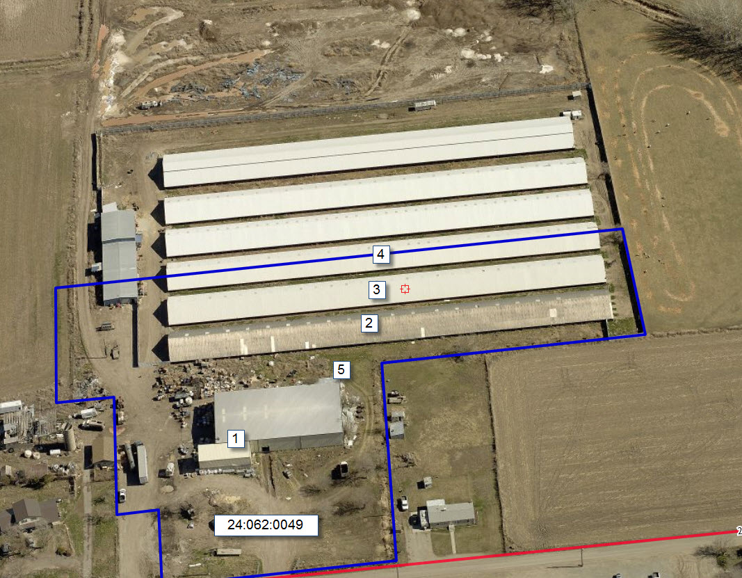
| Property Address: SPANISH FORK DISTR |
|
| Mailing Address: 8963 S 6000 W PAYSON, UT 84651 |
|
| Acreage: 4.931624 |
|
| Last Document:
57591-2023
|
|
| Subdivision Map Filing |
|
| Taxing Description:
COM N 1239.47 FT & E 12.87 FT FR S 1/4 COR. SEC. 16, T8S, R2E, SLB&M.; E 113.22 FT; N .38 FT; E 26.77 FT; N 0 DEG 6' 24" E 31.71 FT; E 103.97 FT; N 15.3 FT; N 89 DEG 57' 51" E 53.09 FT; N 0 DEG 4' 38" E 67.04 FT; S 89 DEG 54' 12" E 195.8 FT; S 0 DEG 0' 1" W 686.08 FT; S 89 DEG 37' 36" W 185.2 FT; N 0 DEG 16' 35" W 307.48 FT; N 88 DEG 17' 34" W 306.94 FT; N 0 DEG 6' 23" E 256.53 FT TO BEG. AREA 4.932 AC.
*Taxing description NOT FOR LEGAL DOCUMENTS
|
|
- Owner Names
- Value History
- Tax History
- Location
- Photos
- Documents
- Aerial Image
Main Menu Comments or Concerns on Value/Appraisal - Assessor's Office
Documents/Owner/Parcel information - Recorder's Office
Address Change for Tax Notice
This page was created on 9/14/2024 6:20:09 PM |