Property Information
mobile view
| Serial Number: 24:068:0069 |
Serial Life: 2021... |
|
|
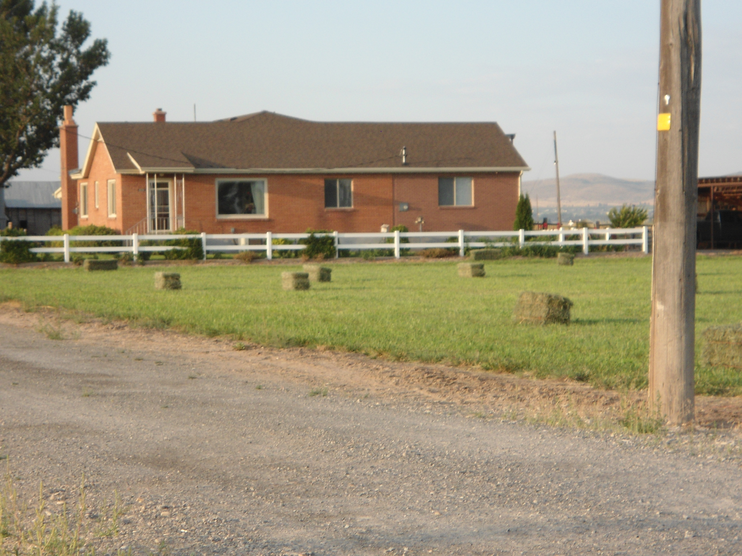 Total Photos: 1
|
| |
|
|
| Property Address: 4291 W 6400 SOUTH - SPANISH FORK |
|
| Mailing Address: 5798 S 3600 W SPANISH FORK, UT 84660-4201 |
|
| Acreage: 41.556625 |
|
| Last Document:
175465-2021
|
|
| Subdivision Map Filing |
|
| Taxing Description:
COM W 1980 FT FR NE COR. SEC. 19, T8S, R2E, SLB&M.; E 660 FT; S 33.95 FT; S 88 DEG 31' 30" W 8.43 FT; S 0 DEG 36' 45" W 1332.38 FT; N 87 DEG 58' 36" E 22.68 FT; S 614.32 FT; W 18.26 FT; S 52.39 FT; S 88 DEG 36' 50" W 644.05 FT; S 88 DEG 22' 10" W 658.14 FT; N 746.69 FT; E 660 FT; N 1319.99 FT TO BEG. AREA 41.557 AC.
*Taxing description NOT FOR LEGAL DOCUMENTS
|
|
- Owner Names
- Value History
- Tax History
- Location
- Photos
- Documents
- Aerial Image
| |
----- Real Estate Values ----- |
---Improvements--- |
---Greenbelt--- |
Total |
| Year |
Com |
Res |
Agr |
Tot |
Com |
Res |
Agr |
Tot |
Land |
Homesite |
Tot |
Market Value |
| 2024 |
$0 |
$175,900 |
$1,808,800 |
$1,984,700 |
$0 |
$319,300 |
$17,700 |
$337,000 |
$25,199 |
$112,000 |
$137,199 |
$2,321,700 |
| 2023 |
$0 |
$175,900 |
$1,810,600 |
$1,986,500 |
$0 |
$308,700 |
$15,800 |
$324,500 |
$23,134 |
$112,000 |
$135,134 |
$2,311,000 |
| 2022 |
$0 |
$187,500 |
$1,930,500 |
$2,118,000 |
$0 |
$244,500 |
$20,600 |
$265,100 |
$23,381 |
$112,000 |
$135,381 |
$2,383,100 |
| 2021 |
$0 |
$150,000 |
$1,135,600 |
$1,285,600 |
$0 |
$182,100 |
$18,700 |
$200,800 |
$22,927 |
$80,000 |
$102,927 |
$1,486,400 |
| Year |
General Taxes |
Adjustments |
Net Taxes |
Fees |
Payments |
Tax Balance* |
Balance Due |
Tax District |
| 2025 |
$0.00 |
$0.00 |
$0.00 |
$0.00 |
|
$0.00
|
$0.00 |
160 - BENJAMIN CEMETERY S/A 6-7-8 |
| 2024 |
$0.00 |
$0.00 |
$0.00 |
$0.00 |
|
$0.00
|
$0.00 |
160 - BENJAMIN CEMETERY S/A 6-7-8 |
| 2023 |
$2,722.11 |
$0.00 |
$2,722.11 |
$0.00 |
|
$0.00
|
$0.00 |
160 - BENJAMIN CEMETERY S/A 6-7-8 |
| 2022 |
$2,462.97 |
$0.00 |
$2,462.97 |
$0.00 |
|
$0.00
|
$0.00 |
160 - BENJAMIN CEMETERY S/A 6-7-8 |
| 2021 |
$2,221.21 |
$0.00 |
$2,221.21 |
$0.00 |
|
$0.00
|
$0.00 |
160 - BENJAMIN CEMETERY S/A 6-7-8 |
* Note: Original tax amount (Does not include applicable interest and/or fees).
| Entry # |
Date |
Recorded |
Type |
Party1 (Grantor) |
Party2 (Grantee) |
| 22911-2024 |
04/08/2024 |
04/09/2024 |
D TR |
BNH PROPERTIES LLC |
WESTERN AGCREDIT |
| 11274-2023 |
02/23/2023 |
02/24/2023 |
D TR |
BNH PROPERTIES LLC |
WESTERN AGCREDIT |
| 43773-2022 |
03/30/2022 |
04/08/2022 |
FARM |
BNH PROPERTIES LLC |
WHOM OF INTEREST |
| 33690-2022 |
03/14/2022 |
03/17/2022 |
N |
BNH PROPERTIES LLC |
WHOM OF INTEREST |
| 32642-2022 |
03/09/2022 |
03/15/2022 |
REC |
WESTERN AGCREDIT TEE |
BNH PROPERTIES LLC |
| 32641-2022 |
03/14/2022 |
03/15/2022 |
SUP DTR |
BNH PROPERTIES LLC |
WESTERN AGCREDIT |
| 32640-2022 |
03/14/2022 |
03/15/2022 |
SUP DTR |
BHN PROPERTIES LLC |
WESTERN AGCREDIT |
| 32639-2022 |
03/14/2022 |
03/15/2022 |
SUP DTR |
BNH PROPERTIES LLC |
WESTERN AGCREDIT |
| 32638-2022 |
03/14/2022 |
03/15/2022 |
D TR |
BNH PROPERTIES LLC |
WESTERN AGCREDIT |
| 175467-2021 |
10/12/2021 |
10/13/2021 |
D TR |
BNH PROPERTIES LLC |
WESTERN AGCREDIT PCA |
| 175466-2021 |
10/12/2021 |
10/13/2021 |
WD W |
YOUD, JAY L SUCTEE (ET AL) |
BNH PROPERTIES LLC |
| 175465-2021 |
10/12/2021 |
10/13/2021 |
TEE SUC |
YOUD, JAY L TEE (ET AL) |
YOUD, JAY L TEE (ET AL) |
| 199206-2020 |
12/14/2020 |
12/14/2020 |
BLA |
PEAY, KENNETH B & CECILE M TEE (ET AL) |
YOUD, LYNN J & BEVERLY M TEE (ET AL) |
Main Menu Comments or Concerns on Value/Appraisal - Assessor's Office
Documents/Owner/Parcel information - Recorder's Office
Address Change for Tax Notice
This page was created on 8/18/2024 4:17:41 PM |