UtahCounty.Gov - The Official Website of Utah County Government

Property Information

mobile view

Serial Number: 25:026:0153 Serial Life: 2022...    
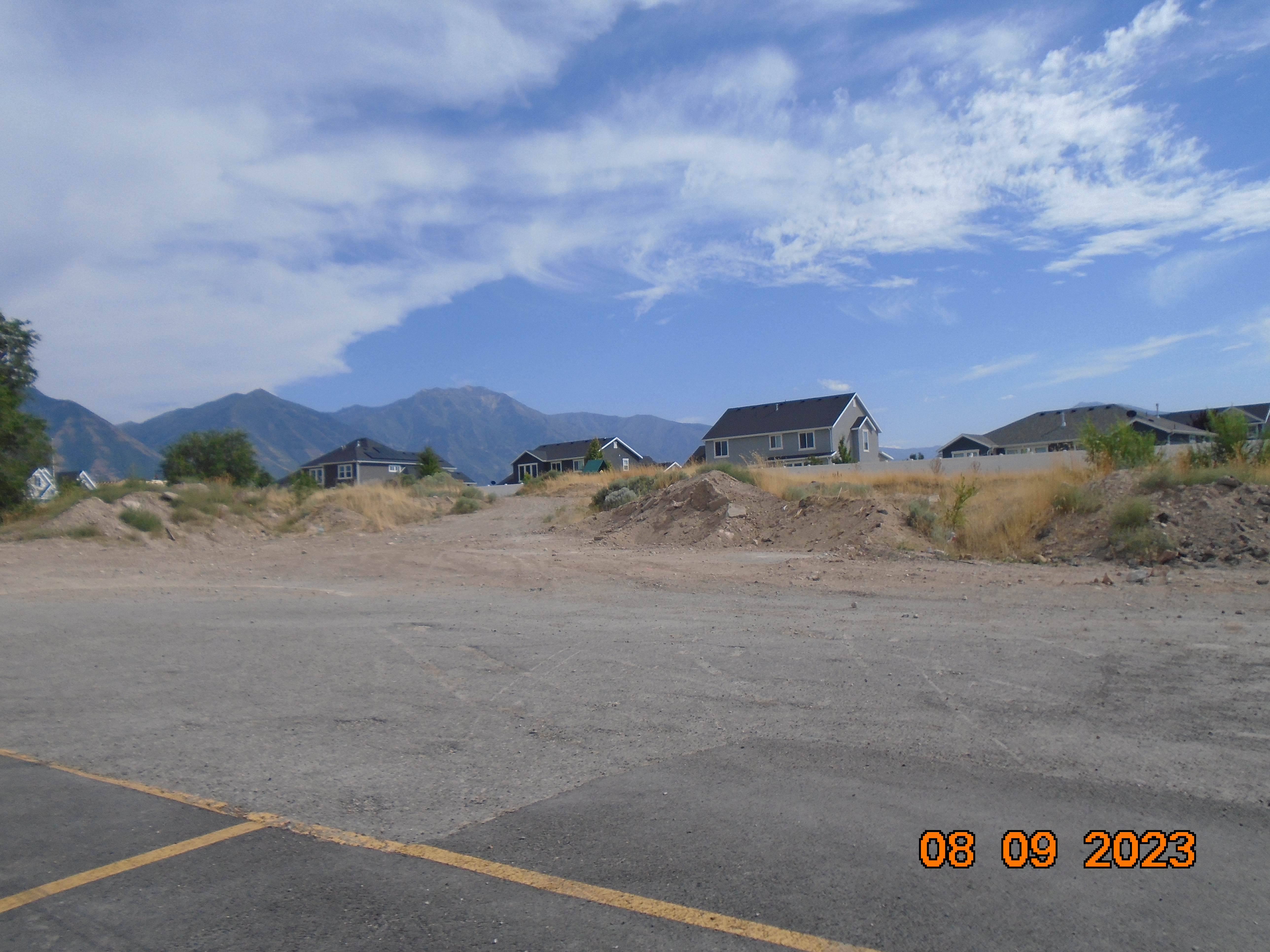
Parcel Photo
Total Photos: 3
     
Property Address:   
Mailing Address: 775 W 1200 N STE 100 SPRINGVILLE, UT 84663-3070  
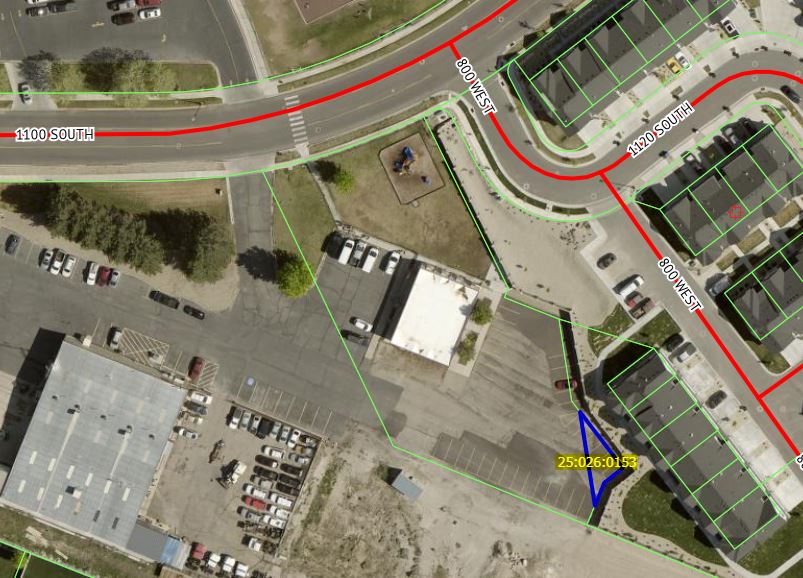
Acreage: 0.018879  
Last Document: 17285-2021  
Subdivision Map Filing   
Taxing Description:  COM N 698.72 FT & E 1511.04 FT FR W 1/4 COR, SEC. 25, T8S, R2E, SLB&M.; S 37 DEG 35' 3" E 52.64 FT; S 52 DEG 24' 56" W 18 FT; S 22 DEG 10' 22" W 19.18 FT; N 8 DEG 33' 35" W 71.25 FT TO BEG. AREA 0.019 AC.

*Taxing description NOT FOR LEGAL DOCUMENTS


  • Owner Names
  • Value History
  • Tax History
  • Location
  • Photos
  • Documents
  • Aerial Image
 
----- Real Estate Values -----
---Improvements---
---Greenbelt---
Total
Year
Com
Res
Agr
Tot
Com
Res
Agr
Tot
Land
Homesite
Tot
    Market Value
2024
$1,100
$0
$0
$1,100
$0
$0
$0
$0
$0
$0
$0
$1,100
2023
$5,200
$0
$0
$5,200
$0
$0
$0
$0
$0
$0
$0
$5,200
2022
$4,100
$0
$0
$4,100
$0
$0
$0
$0
$0
$0
$0
$4,100
Year
General Taxes
Adjustments
Net Taxes
Fees
Payments
Tax Balance*
Balance Due
Tax District
2025
$0.00
$0.00
$0.00
$0.00
$0.00
$0.00     150 - SPANISH FORK CITY
2024
$0.00
$0.00
$0.00
$0.00
$0.00
$0.00     150 - SPANISH FORK CITY
2023
$50.39
$0.00
$50.39
$0.00 Click for Payoff     150 - SPANISH FORK CITY
2022
$40.51
$0.00
$40.51
$0.00 Click for Payoff     150 - SPANISH FORK CITY

* Note: Original tax amount (Does not include applicable interest and/or fees).
Parcel Photo
Parcel Photo
Parcel Photo
Entry # Date Recorded Type Party1 (Grantor) Party2 (Grantee)
17285-2021 01/28/2021 01/28/2021 WD MTM LLC (ET AL) DIAMOND CREEK DEVELOPMENT LLC


Main Menu

Comments or Concerns on Value/Appraisal - Assessor's Office
Documents/Owner/Parcel information - Recorder's Office
Address Change for Tax Notice

This page was created on 9/30/2024 7:08:47 AM

× Large Image