Property Information
mobile view
| Serial Number: 26:062:0313 |
Serial Life: 2025... |
|
|
 Total Photos: 1
|
| |
|
|
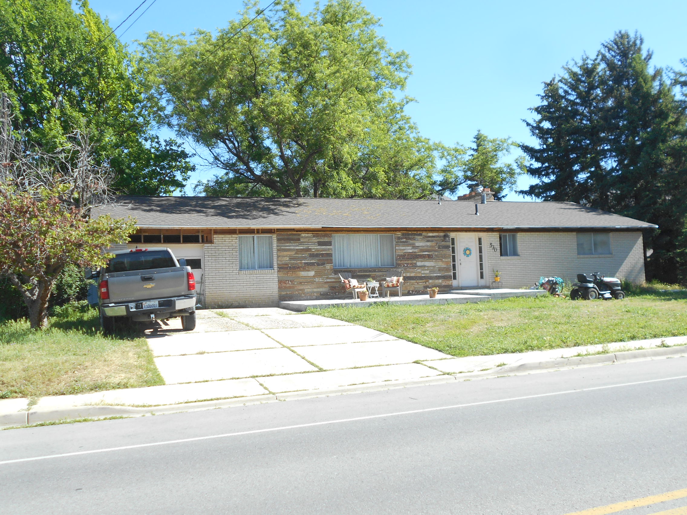
| Property Address: 530 W 1200 NORTH - MAPLETON |
|
| Mailing Address: 530 W 1200 N MAPLETON, UT 84664-3442 |
|
| Acreage: 1.126979 |
|
| Last Document:
59362-2024
|
|
| Subdivision Map Filing |
|
| Taxing Description:
COM S 896.349 FT & W 1718.15 FT FR NE COR. SEC. 10, T8S, R3E, SLB&M.; S 0 DEG 13' 38" W 429.66 FT; S 89 DEG 40' 38" W 114.38 FT; N 0 DEG 13' 11" E 429.13 FT; N 89 DEG 25' 24" E 114.43 FT TO BEG. AREA 1.127 AC.
*Taxing description NOT FOR LEGAL DOCUMENTS
|
|
- Owner Names
- Value History
- Tax History
- Location
- Photos
- Documents
- Aerial Image
Main Menu Comments or Concerns on Value/Appraisal - Assessor's Office
Documents/Owner/Parcel information - Recorder's Office
Address Change for Tax Notice
This page was created on 3/19/2025 6:45:12 PM |