Property Information
mobile view
| Serial Number: 26:063:0240 |
Serial Life: 2019... |
|
|
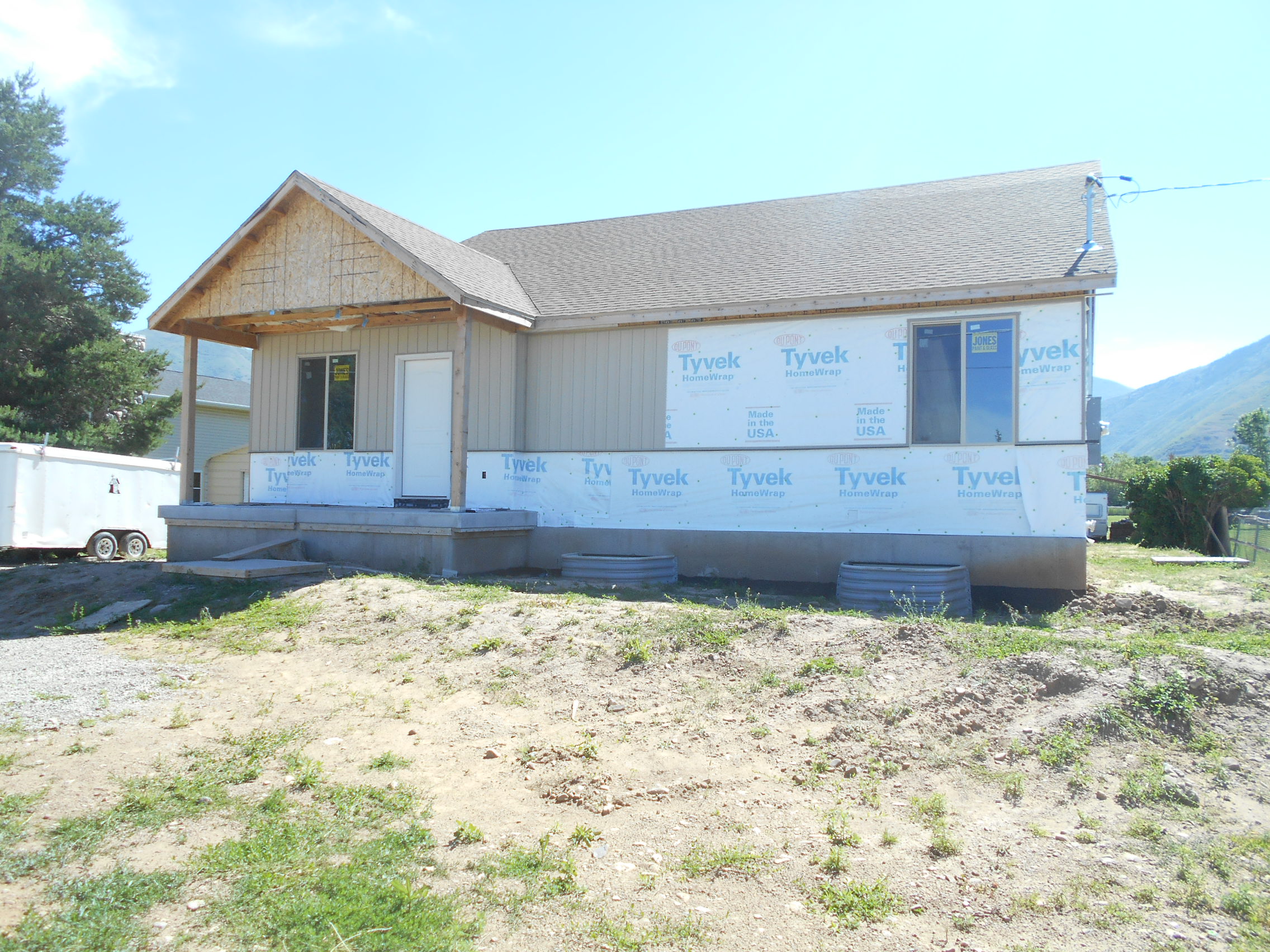
Total Photos: 1
|
| |
|
|
| Property Address: 166 N 300 WEST - MAPLETON |
|
| Mailing Address: 166 N 300 W MAPLETON, UT 84664-3421 |
|
| Acreage: 0.459586 |
|
| Last Document:
77706-2023
|
|
| Subdivision Map Filing |
|
| Taxing Description:
COM S 88 DEG 58' 22" W 945.17 FT & N 777.08 FT & S 0 DEG 31' 1" W 96.45 FT FR SE COR. SEC. 10, T8S, R3E, SLB&M.; S 89 DEG 26' 31" E 209.41 FT; S 0 DEG 31' 4" W 94.76 FT; N 89 DEG 55' 56" W 209.41 FT; N 0 DEG 31' 1" E 96.55 FT TO BEG. AREA 0.460 AC.
*Taxing description NOT FOR LEGAL DOCUMENTS
|
|
- Owner Names
- Value History
- Tax History
- Location
- Photos
- Documents
- Aerial Image
| |
----- Real Estate Values ----- |
---Improvements--- |
---Greenbelt--- |
Total |
| Year |
Com |
Res |
Agr |
Tot |
Com |
Res |
Agr |
Tot |
Land |
Homesite |
Tot |
Market Value |
| 2024 |
$0 |
$236,400 |
$0 |
$236,400 |
$0 |
$249,300 |
$0 |
$249,300 |
$0 |
$0 |
$0 |
$485,700 |
| 2023 |
$0 |
$236,400 |
$0 |
$236,400 |
$0 |
$248,100 |
$0 |
$248,100 |
$0 |
$0 |
$0 |
$484,500 |
| 2022 |
$0 |
$252,000 |
$0 |
$252,000 |
$0 |
$219,800 |
$0 |
$219,800 |
$0 |
$0 |
$0 |
$471,800 |
| 2021 |
$0 |
$157,500 |
$0 |
$157,500 |
$0 |
$169,100 |
$0 |
$169,100 |
$0 |
$0 |
$0 |
$326,600 |
| 2020 |
$0 |
$139,400 |
$0 |
$139,400 |
$0 |
$169,100 |
$0 |
$169,100 |
$0 |
$0 |
$0 |
$308,500 |
| 2019 |
$0 |
$134,600 |
$0 |
$134,600 |
$0 |
$48,100 |
$0 |
$48,100 |
$0 |
$0 |
$0 |
$182,700 |
| Year |
General Taxes |
Adjustments |
Net Taxes |
Fees |
Payments |
Tax Balance* |
Balance Due |
Tax District |
| 2025 |
$0.00 |
$0.00 |
$0.00 |
$0.00 |
|
$0.00
|
$0.00 |
140 - MAPLETON CITY |
| 2024 |
$0.00 |
$0.00 |
$0.00 |
$0.00 |
|
$0.00
|
$0.00 |
140 - MAPLETON CITY |
| 2023 |
$2,703.12 |
$0.00 |
$2,703.12 |
$0.00 |
|
$0.00
|
$0.00 |
140 - MAPLETON CITY |
| 2022 |
$2,662.11 |
$0.00 |
$2,662.11 |
$0.00 |
|
$0.00
|
$0.00 |
140 - MAPLETON CITY |
| 2021 |
$2,182.32 |
$0.00 |
$2,182.32 |
$0.00 |
|
$0.00
|
$0.00 |
140 - MAPLETON CITY |
| 2020 |
$2,131.12 |
$0.00 |
$2,131.12 |
$0.00 |
|
$0.00
|
$0.00 |
140 - MAPLETON CITY |
| 2019 |
$1,236.47 |
$0.00 |
$1,236.47 |
$0.00 |
|
$0.00
|
$0.00 |
140 - MAPLETON CITY |
* Note: Original tax amount (Does not include applicable interest and/or fees).
| Entry # |
Date |
Recorded |
Type |
Party1 (Grantor) |
Party2 (Grantee) |
| 77706-2023 |
11/20/2023 |
11/30/2023 |
WD |
GLAZIER, KENNETH L & ROBERT J (ET AL) |
GLAZIER, KENNETH L & ROBERT J TEE (ET AL) |
| 46346-2023 |
07/17/2023 |
07/18/2023 |
D TR |
GLAZIER, KENNETH L & ROBERT J (ET AL) |
CENTRAL BANK |
| 84667-2020 |
05/28/2020 |
06/19/2020 |
REC |
CENTRAL BANK TEE |
GLAZIRE, KENNETH L (ET AL) |
| 115007-2019 |
10/31/2019 |
11/05/2019 |
D TR |
GLAZIER, ROBERT J & TRICIA A (ET AL) |
CENTRAL BANK |
| 50730-2018 |
05/31/2018 |
05/31/2018 |
D TR |
GLAZIER, KENNETH L & ROBERT J (ET AL) |
CENTRAL BANK |
| 50729-2018 |
05/31/2018 |
05/31/2018 |
SP WD |
GLAZIER, KENNETH LAMAR TEE (ET AL) |
GLAZIER, KENNETH L & ROBERT J (ET AL) |
| 50728-2018 |
05/31/2018 |
05/31/2018 |
AF DC |
GLAZIER, MARIE ANN BURNS & MARIE ANN AKA (ET AL) |
GLAZIER, KENNETH LAMAR SUCTEE (ET AL) |
| 45006-2018 |
05/07/2018 |
05/14/2018 |
BLA |
GLAZIER, KENNETH LAMAR TEE (ET AL) |
ENGLER, DAVID A & LISA E |
Main Menu Comments or Concerns on Value/Appraisal - Assessor's Office
Documents/Owner/Parcel information - Recorder's Office
Address Change for Tax Notice
This page was created on 7/17/2024 8:21:00 PM |