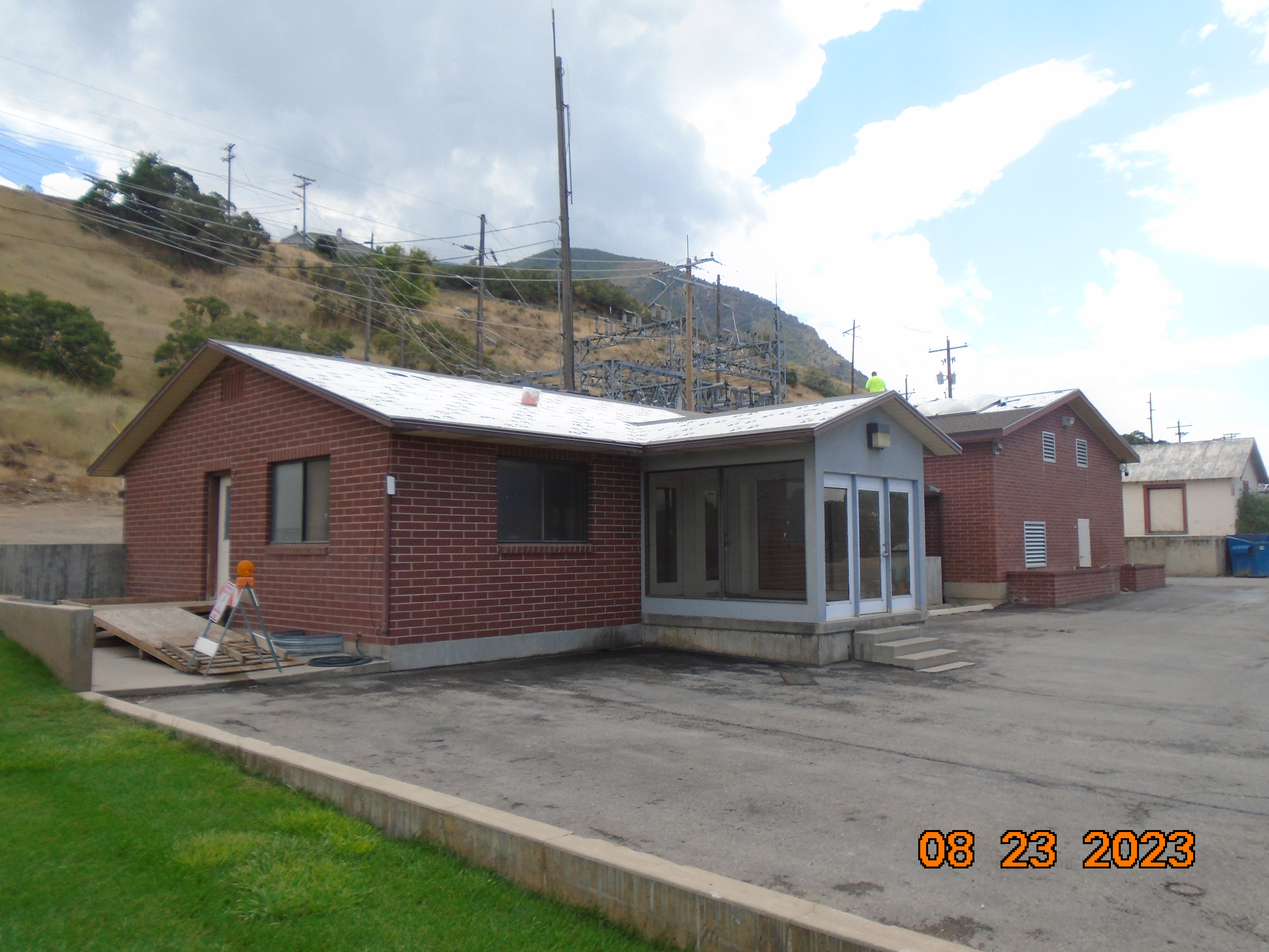
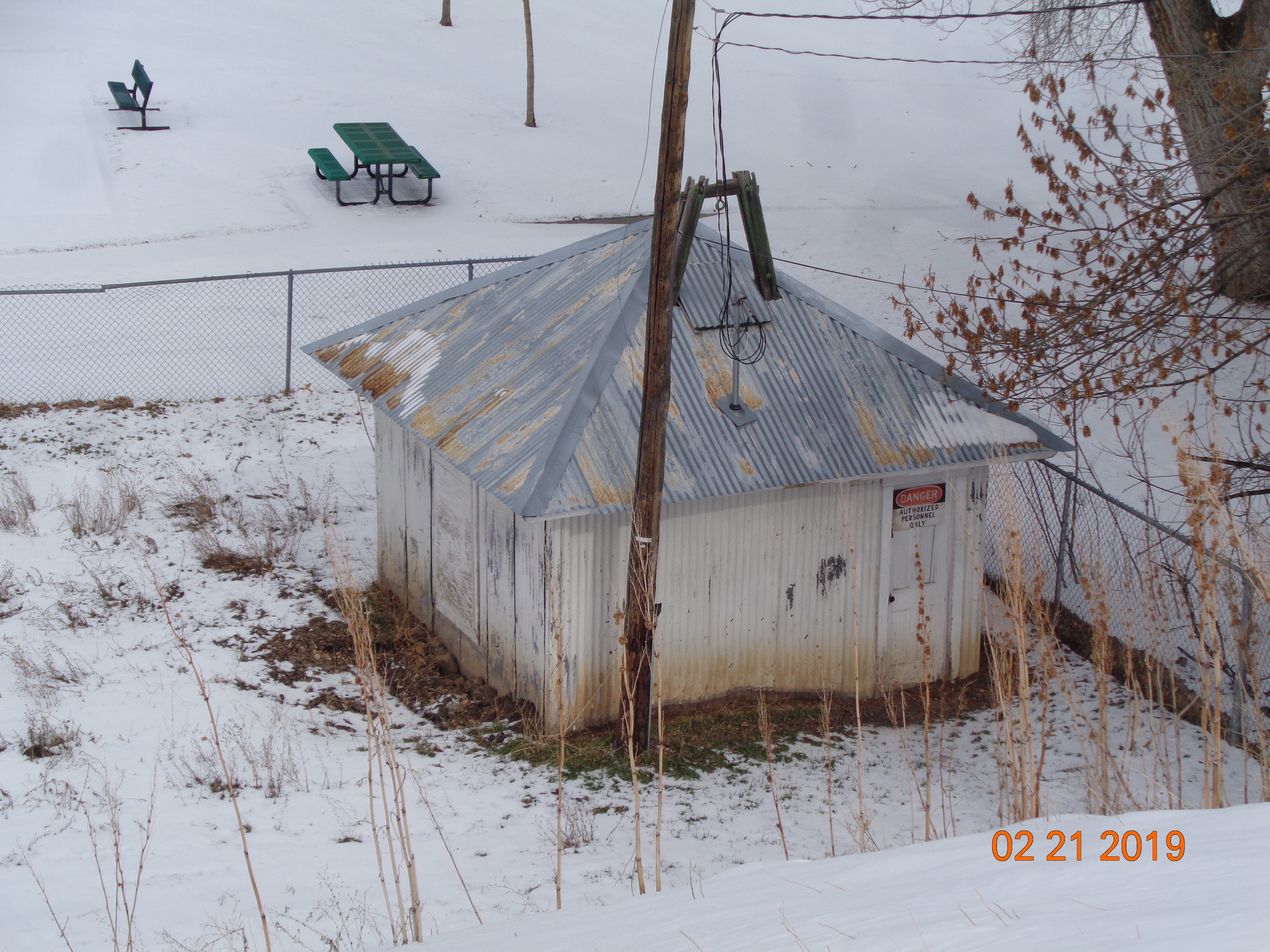
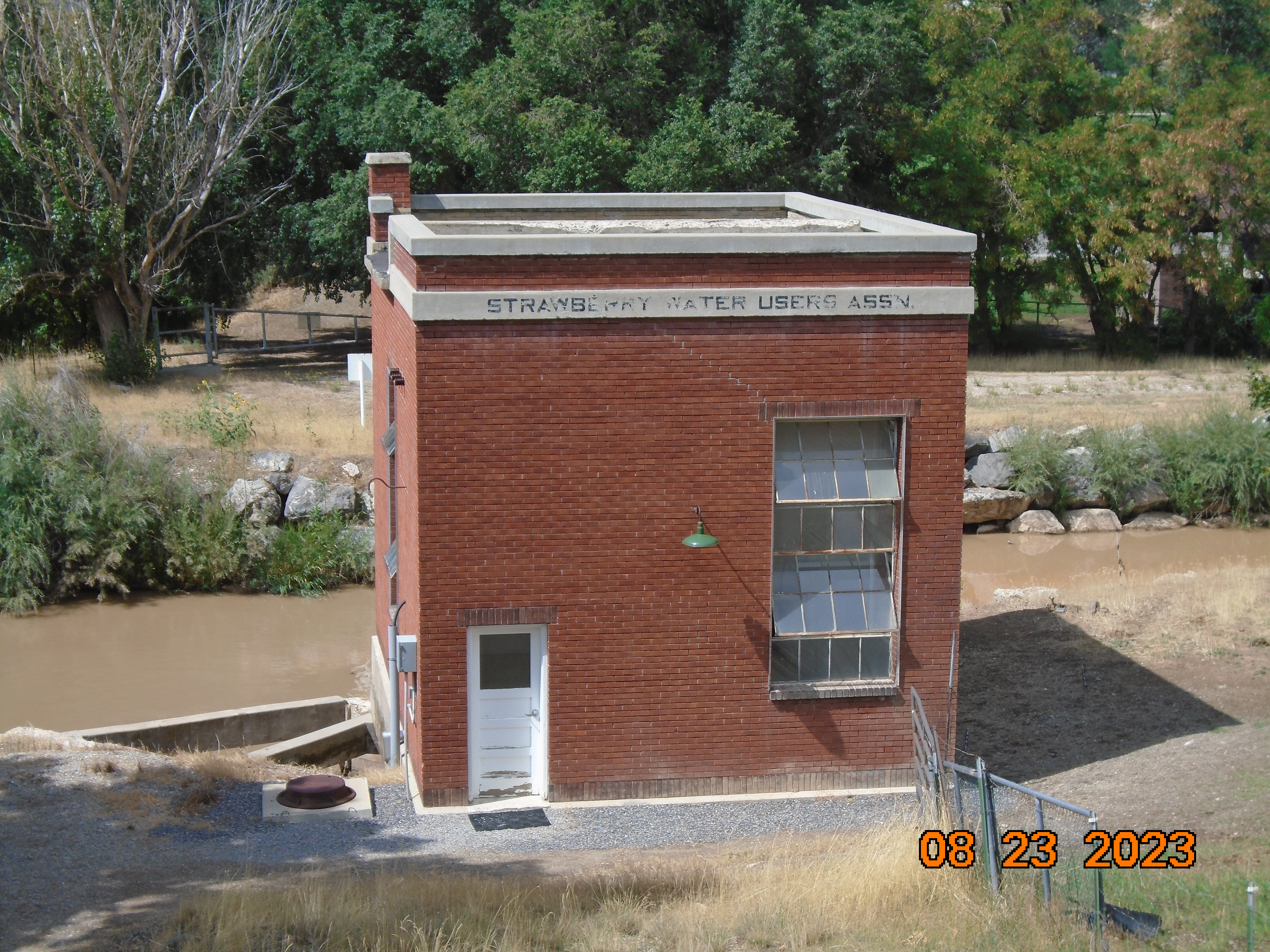
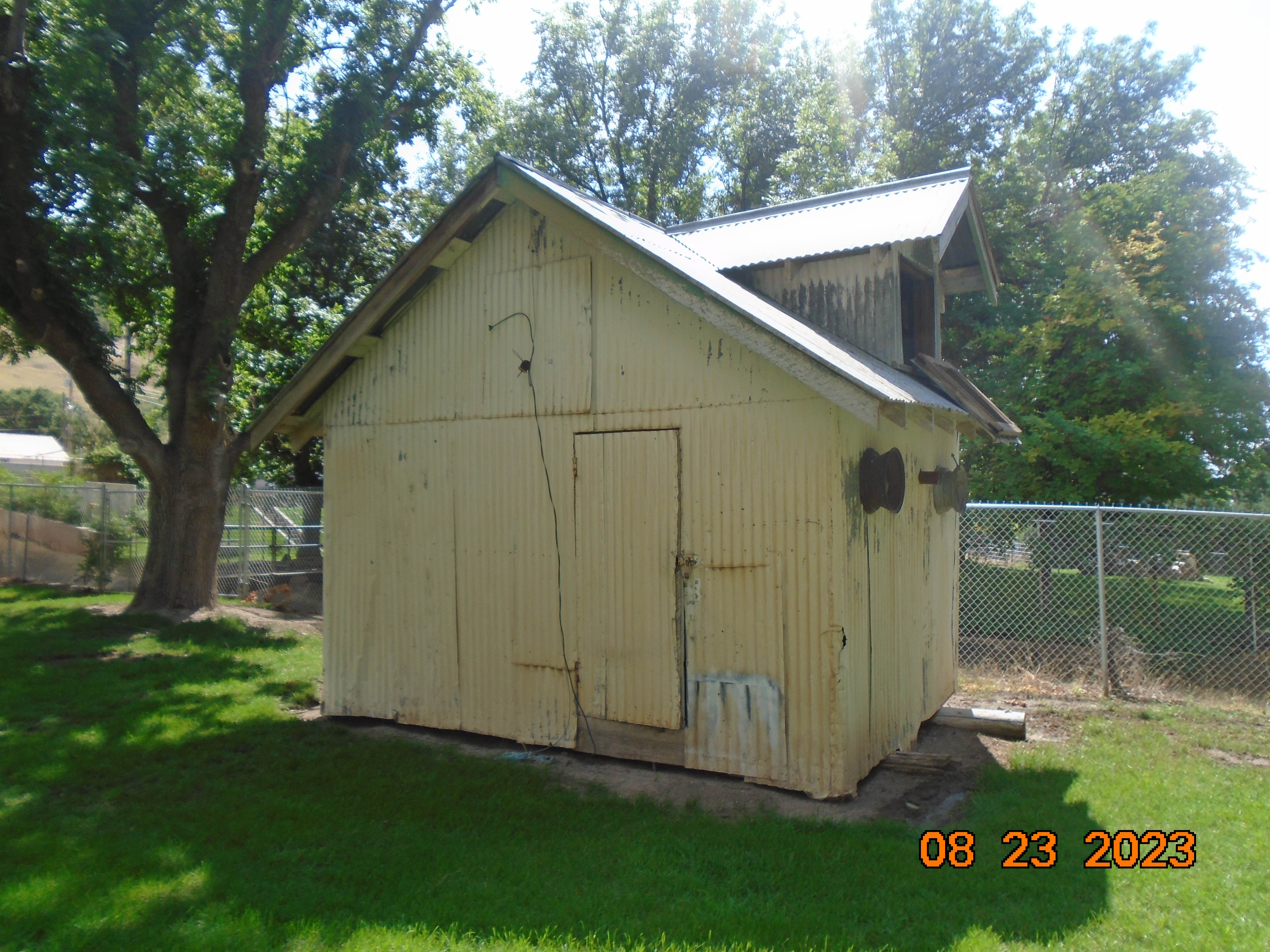
Property Information
mobile view
| Serial Number: 27:055:1000 |
Serial Life: 2017... |
|
|
 Total Photos: 50
|
| |
|
|
| Property Address: |
|
| Mailing Address: 745 N 500 E PAYSON, UT 84651 |
|
| Acreage: 0 |
|
| Last Document:
132363-2016
|
|
| Subdivision Map Filing |
|
| Taxing Description:
BLDG ONLY, SWNE SEC. 33, T8S, R3E, SLB&M;
*Taxing description NOT FOR LEGAL DOCUMENTS
|
|
- Owner Names
- Value History
- Tax History
- Location
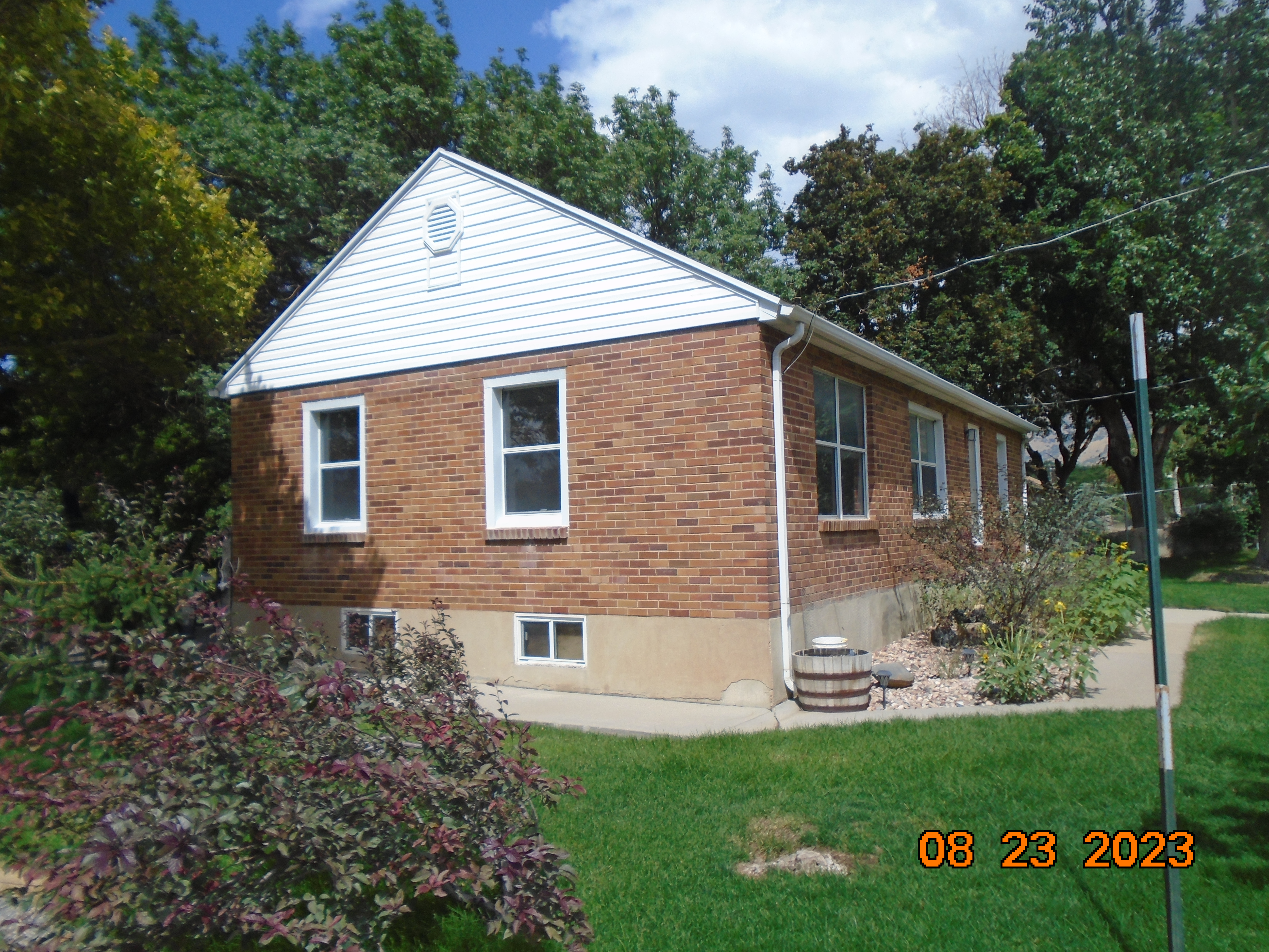
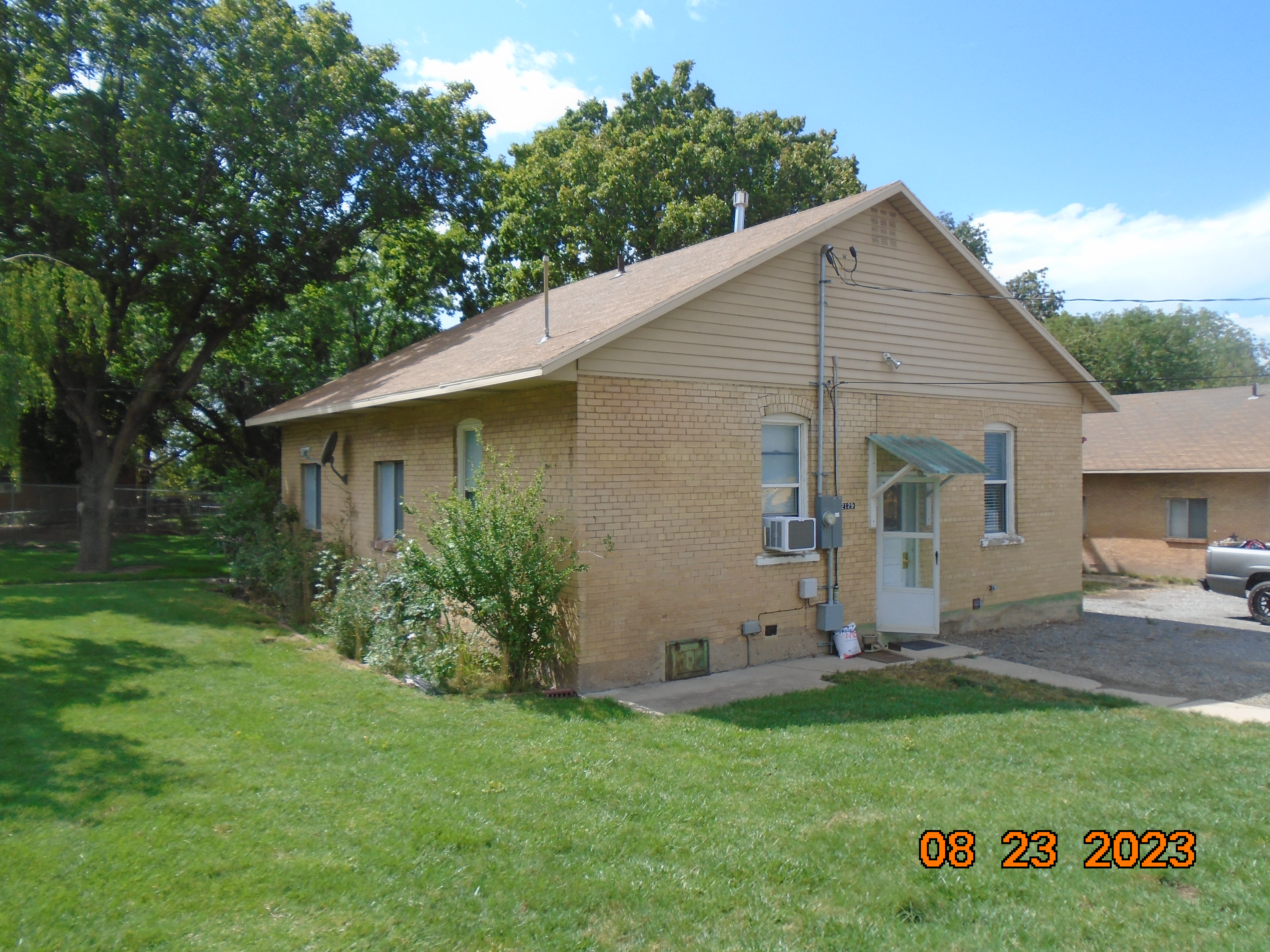
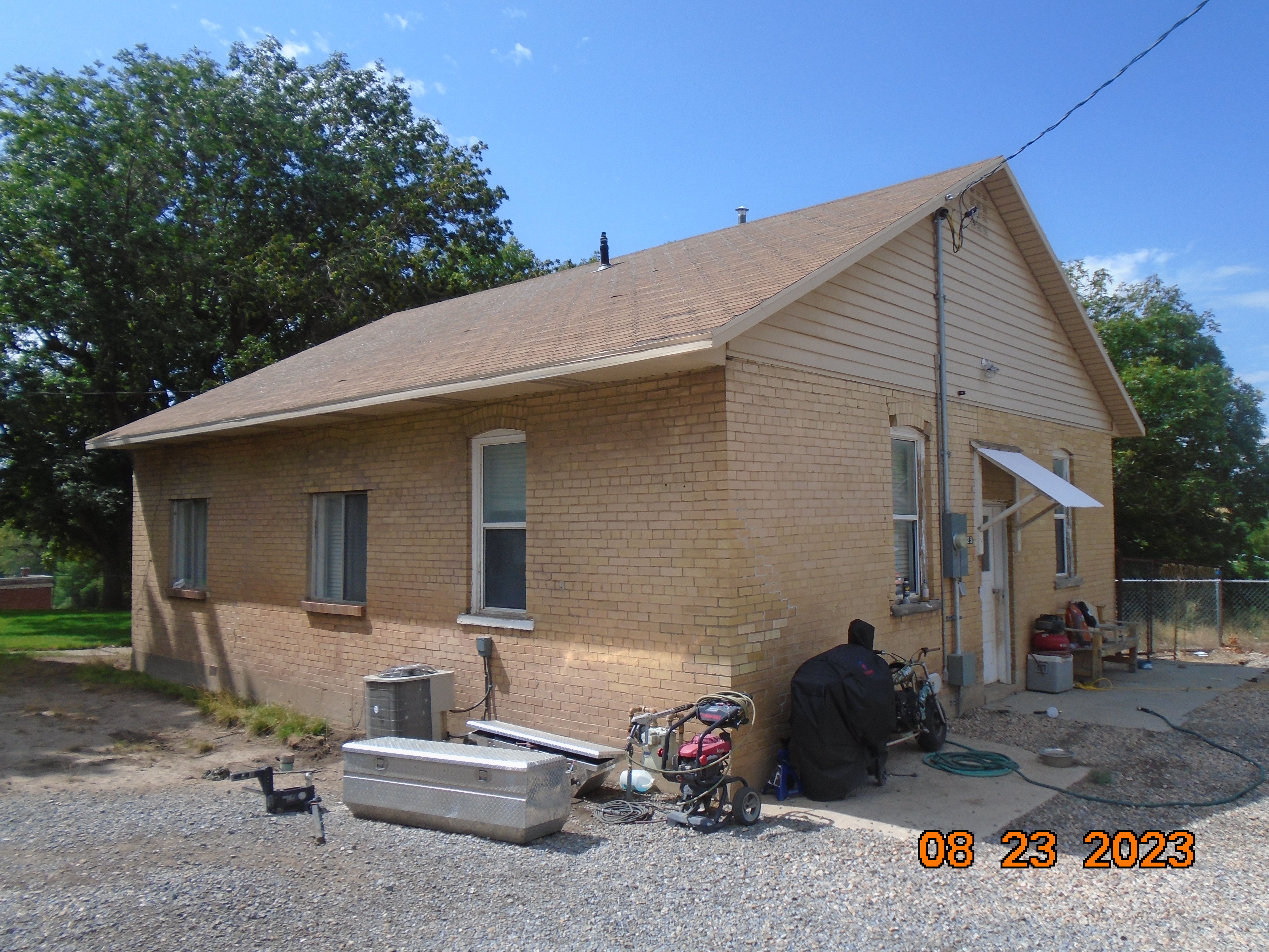
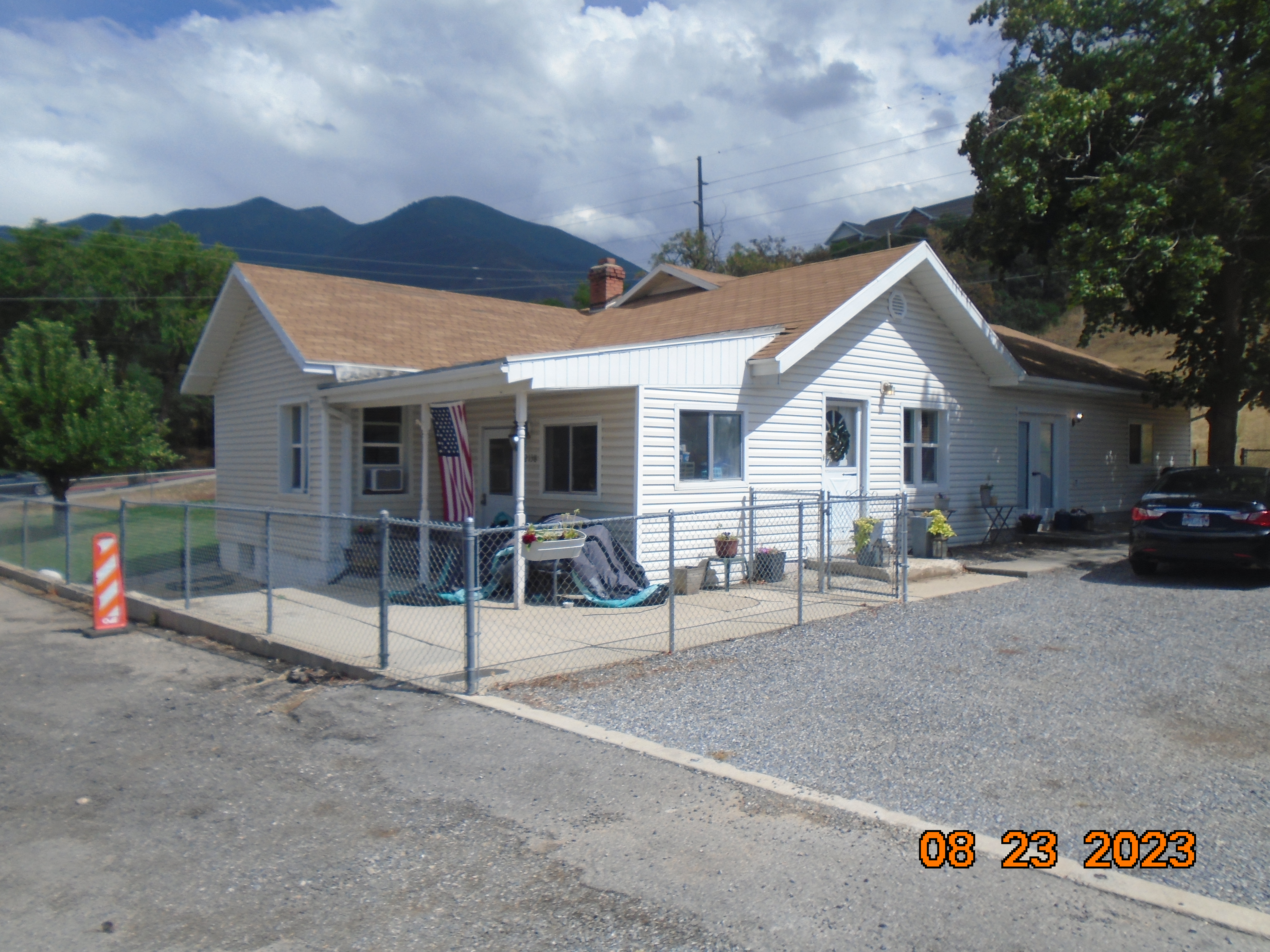
- Photos
- Documents
- Aerial Image
| |
----- Real Estate Values ----- |
---Improvements--- |
---Greenbelt--- |
Total |
| Year |
Com |
Res |
Agr |
Tot |
Com |
Res |
Agr |
Tot |
Land |
Homesite |
Tot |
Market Value |
| 2024 |
$0 |
$0 |
$0 |
$0 |
$391,400 |
$509,700 |
$0 |
$901,100 |
$0 |
$0 |
$0 |
$901,100 |
| 2023 |
$0 |
$0 |
$0 |
$0 |
$415,300 |
$480,000 |
$0 |
$895,300 |
$0 |
$0 |
$0 |
$895,300 |
| 2022 |
$0 |
$0 |
$0 |
$0 |
$367,500 |
$442,700 |
$0 |
$810,200 |
$0 |
$0 |
$0 |
$810,200 |
| 2021 |
$0 |
$0 |
$0 |
$0 |
$284,900 |
$400,100 |
$0 |
$685,000 |
$0 |
$0 |
$0 |
$685,000 |
| 2020 |
$0 |
$0 |
$0 |
$0 |
$284,900 |
$400,100 |
$0 |
$685,000 |
$0 |
$0 |
$0 |
$685,000 |
| 2019 |
$0 |
$0 |
$0 |
$0 |
$284,900 |
$400,100 |
$0 |
$685,000 |
$0 |
$0 |
$0 |
$685,000 |
| 2018 |
$0 |
$0 |
$0 |
$0 |
$285,600 |
$403,300 |
$0 |
$688,900 |
$0 |
$0 |
$0 |
$688,900 |
| 2017 |
$0 |
$0 |
$0 |
$0 |
$251,500 |
$359,000 |
$0 |
$610,500 |
$0 |
$0 |
$0 |
$610,500 |
| Year |
General Taxes |
Adjustments |
Net Taxes |
Fees |
Payments |
Tax Balance* |
Balance Due |
Tax District |
| 2025 |
$0.00 |
$0.00 |
$0.00 |
$0.00 |
|
$0.00
|
$0.00 |
120 - NEBO SCHOOL DIST S/A 6-7-8 |
| 2024 |
$0.00 |
$0.00 |
$0.00 |
$0.00 |
|
$0.00
|
$0.00 |
120 - NEBO SCHOOL DIST S/A 6-7-8 |
| 2023 |
$6,790.28 |
$0.00 |
$6,790.28 |
$0.00 |
|
$0.00
|
$0.00 |
120 - NEBO SCHOOL DIST S/A 6-7-8 |
| 2022 |
$6,219.22 |
$0.00 |
$6,219.22 |
$0.00 |
|
$0.00
|
$0.00 |
120 - NEBO SCHOOL DIST S/A 6-7-8 |
| 2021 |
$8,118.62 |
$0.00 |
$8,118.62 |
$0.00 |
|
$0.00
|
$0.00 |
120 - NEBO SCHOOL DIST S/A 6-7-8 |
| 2020 |
$8,361.80 |
$0.00 |
$8,361.80 |
$0.00 |
|
$0.00
|
$0.00 |
120 - NEBO SCHOOL DIST S/A 6-7-8 |
| 2019 |
$8,194.66 |
$0.00 |
$8,194.66 |
$0.00 |
|
$0.00
|
$0.00 |
120 - NEBO SCHOOL DIST S/A 6-7-8 |
| 2018 |
$8,614.01 |
$0.00 |
$8,614.01 |
$0.00 |
|
$0.00
|
$0.00 |
120 - NEBO SCHOOL DIST S/A 6-7-8 |
| 2017 |
$5,774.39 |
$0.00 |
$5,774.39 |
$0.00 |
|
$0.00
|
$0.00 |
120 - NEBO SCHOOL DIST S/A 6-7-8 |
* Note: Original tax amount (Does not include applicable interest and/or fees).
| Entry # |
Date |
Recorded |
Type |
Party1 (Grantor) |
Party2 (Grantee) |
| 132363-2016 |
12/30/2016 |
12/30/2016 |
N |
WHOM OF INTEREST |
STRAWBERRY WATER USERS ASSOCIATION |
Main Menu Comments or Concerns on Value/Appraisal - Assessor's Office
Documents/Owner/Parcel information - Recorder's Office
Address Change for Tax Notice
This page was created on 8/22/2024 8:58:50 AM |