Property Information
mobile view
| Serial Number: 03:038:0026 |
Serial Life: 2019... |
|
|
Total Photos: 4
|
| |
|
|
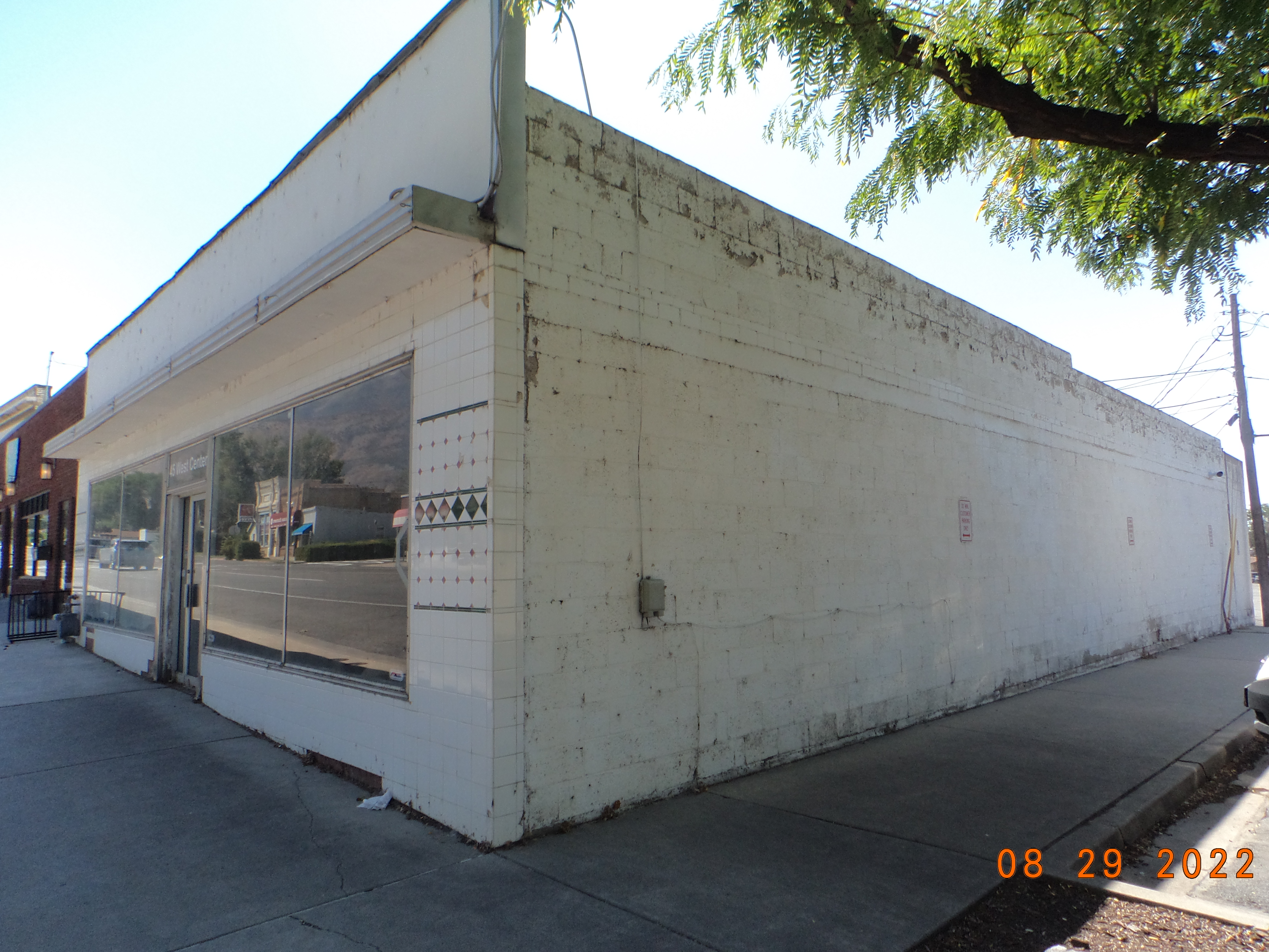
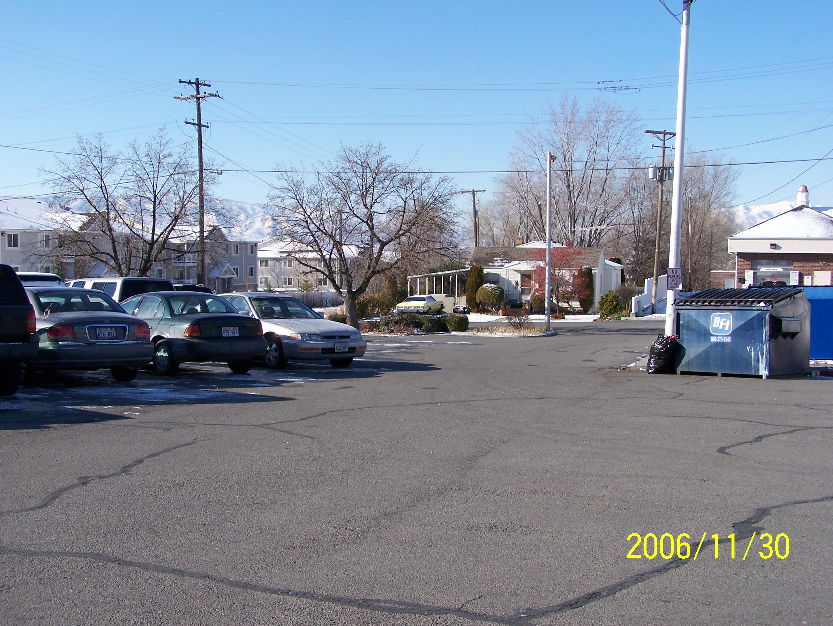
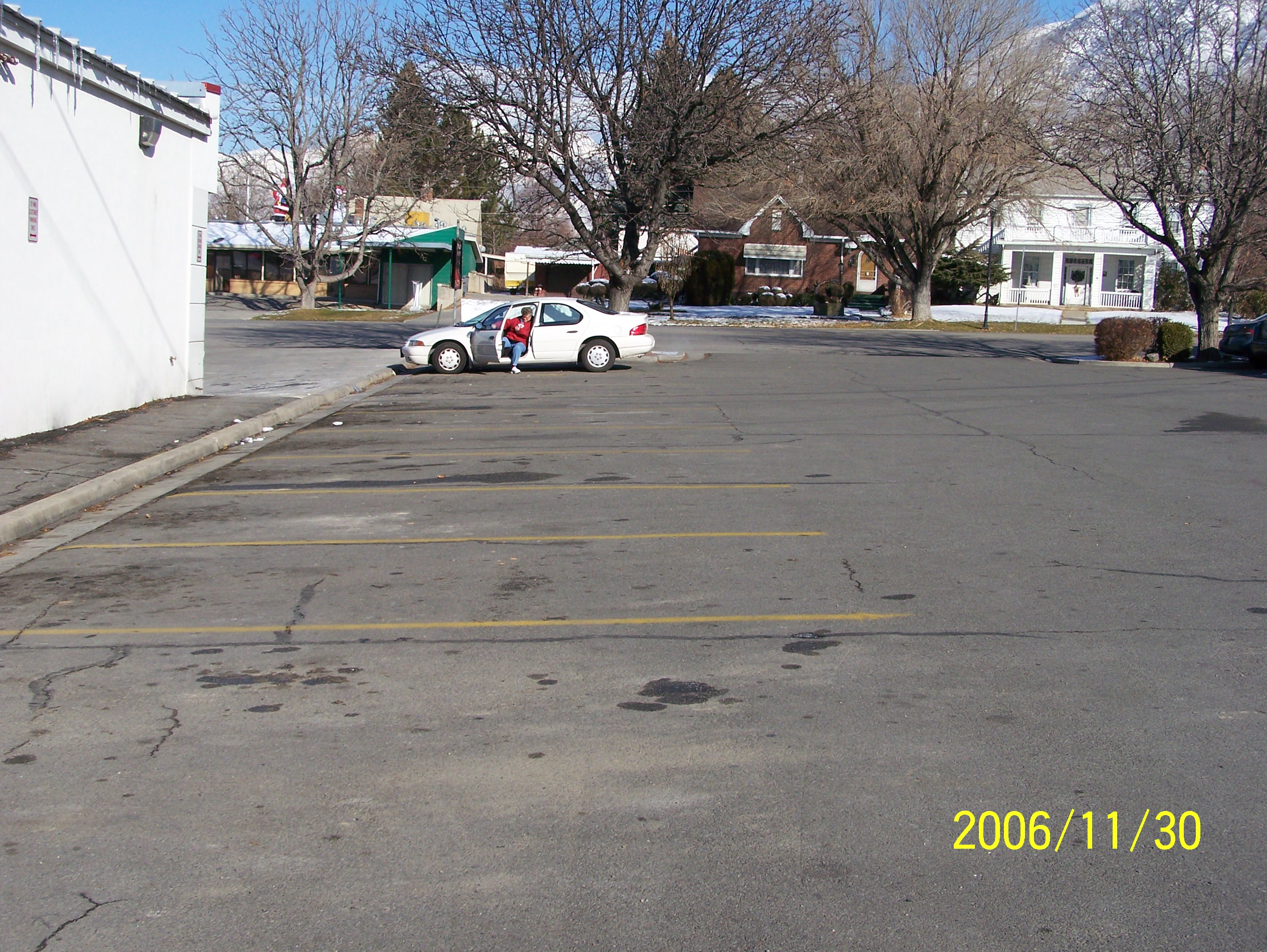
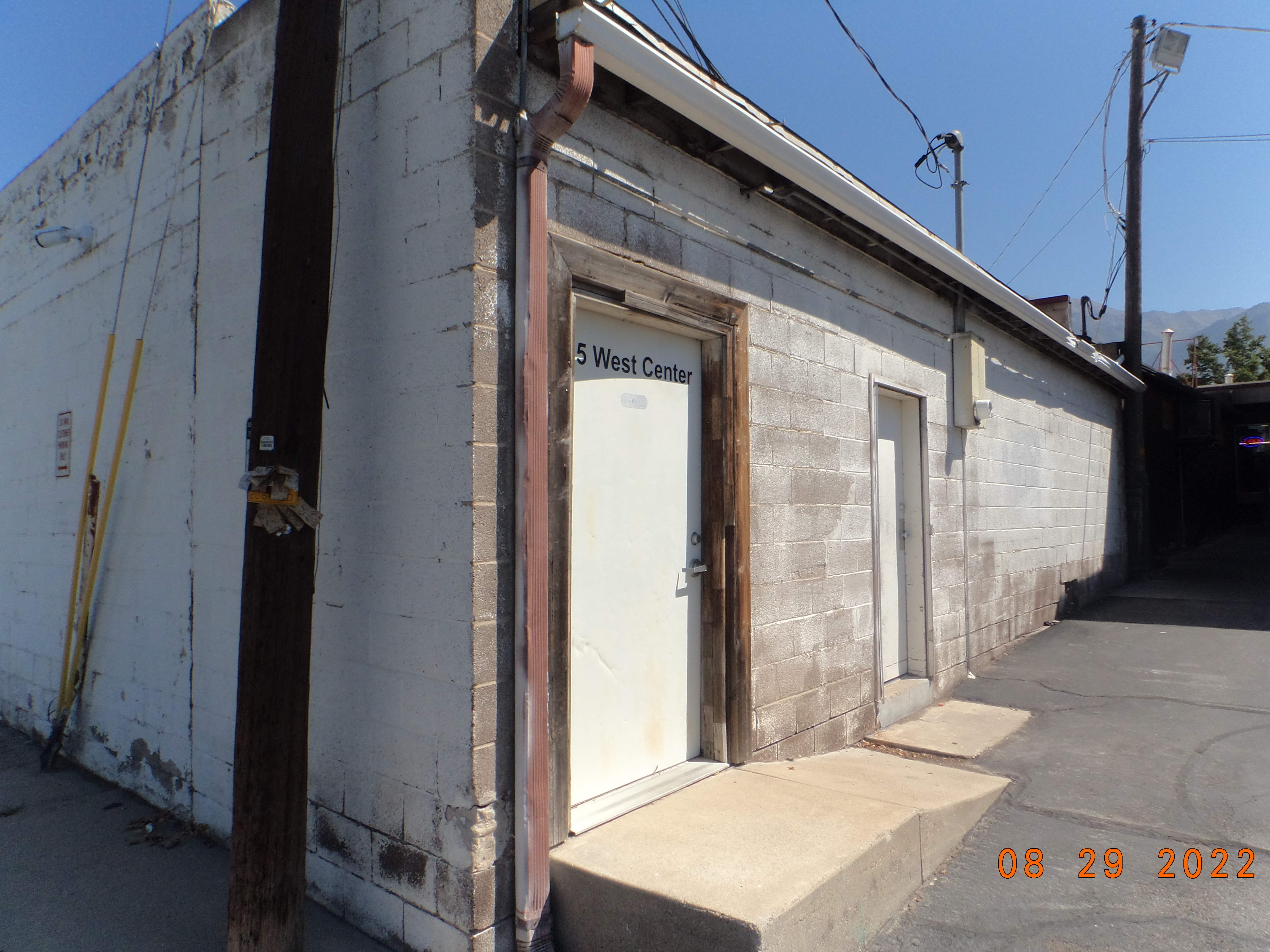
| Property Address: 45 W CENTER ST - PLEASANT GROVE |
|
| Mailing Address: 50 S MAIN PLEASANT GROVE, UT 84062 |
|
| Acreage: 0.363828 |
|
| Last Document:
52584-2018
|
|
| Subdivision Map Filing |
|
| Taxing Description:
COM N 243.09 FT & E 611.51 FT FR SEC. 20, T5S, R2E, SLB&M.; S 89 DEG 29' 0" E 156.78 FT; N 0 DEG 31' 0" E 57.43 FT; N 89 DEG 34' 59" E 4.1 FT; N 9.23 FT; E 41.03 FT; N 1 DEG 1' 29" E 75.08 FT; N 86 DEG 15' 0" W 117.95 FT; S 1 DEG 11' 0" W 128.15 FT; S 89 DEG 11' 17" W 83.37 FT; S 0 DEG 10' 10" W 18.75 FT TO BEG. AREA 0.364 AC.
*Taxing description NOT FOR LEGAL DOCUMENTS
|
|
- Owner Names
- Value History
- Tax History
- Location
- Photos
- Documents
- Aerial Image
| |
----- Real Estate Values ----- |
---Improvements--- |
---Greenbelt--- |
Total |
| Year |
Com |
Res |
Agr |
Tot |
Com |
Res |
Agr |
Tot |
Land |
Homesite |
Tot |
Market Value |
| 2024 |
$231,900 |
$0 |
$0 |
$231,900 |
$154,200 |
$0 |
$0 |
$154,200 |
$0 |
$0 |
$0 |
$386,100 |
| 2023 |
$209,300 |
$0 |
$0 |
$209,300 |
$146,800 |
$0 |
$0 |
$146,800 |
$0 |
$0 |
$0 |
$356,100 |
| 2022 |
$199,500 |
$0 |
$0 |
$199,500 |
$139,200 |
$0 |
$0 |
$139,200 |
$0 |
$0 |
$0 |
$338,700 |
| 2021 |
$204,100 |
$0 |
$0 |
$204,100 |
$76,800 |
$0 |
$0 |
$76,800 |
$0 |
$0 |
$0 |
$280,900 |
| 2020 |
$204,100 |
$0 |
$0 |
$204,100 |
$108,000 |
$0 |
$0 |
$108,000 |
$0 |
$0 |
$0 |
$312,100 |
| 2019 |
$185,300 |
$0 |
$0 |
$185,300 |
$108,100 |
$0 |
$0 |
$108,100 |
$0 |
$0 |
$0 |
$293,400 |
| Year |
General Taxes |
Adjustments |
Net Taxes |
Fees |
Payments |
Tax Balance* |
Balance Due |
Tax District |
| 2025 |
$0.00 |
$0.00 |
$0.00 |
$0.00 |
|
$0.00
|
$0.00 |
070 - PLEASANT GROVE CITY |
| 2024 |
$0.00 |
$0.00 |
$0.00 |
$0.00 |
|
($67.66)
|
($67.66) |
070 - PLEASANT GROVE CITY |
| 2023 |
$2,914.68 |
($67.66) |
$2,847.02 |
$0.00 |
|
$0.00
|
$0.00 |
070 - PLEASANT GROVE CITY |
| 2022 |
$2,786.15 |
$0.00 |
$2,786.15 |
$0.00 |
|
$0.00
|
$0.00 |
070 - PLEASANT GROVE CITY |
| 2021 |
$2,759.28 |
$0.00 |
$2,759.28 |
$0.00 |
|
$0.00
|
$0.00 |
070 - PLEASANT GROVE CITY |
| 2020 |
$3,127.24 |
$0.00 |
$3,127.24 |
$0.00 |
|
$0.00
|
$0.00 |
070 - PLEASANT GROVE CITY |
| 2019 |
$2,842.75 |
$0.00 |
$2,842.75 |
$0.00 |
|
$0.00
|
$0.00 |
070 - PLEASANT GROVE CITY |
* Note: Original tax amount (Does not include applicable interest and/or fees).
| Entry # |
Date |
Recorded |
Type |
Party1 (Grantor) |
Party2 (Grantee) |
| 52584-2018 |
06/05/2018 |
06/06/2018 |
C QCD |
SMITH, CRAIG H & LINDA L TEE (ET AL) |
MOUNT FRANKLIN HOLDING COMPANY LLC |
Main Menu Comments or Concerns on Value/Appraisal - Assessor's Office
Documents/Owner/Parcel information - Recorder's Office
Address Change for Tax Notice
This page was created on 8/9/2024 5:41:45 PM |
