Property Information
mobile view
| Serial Number: 03:039:0048 |
Serial Life: 2016... |
|
|

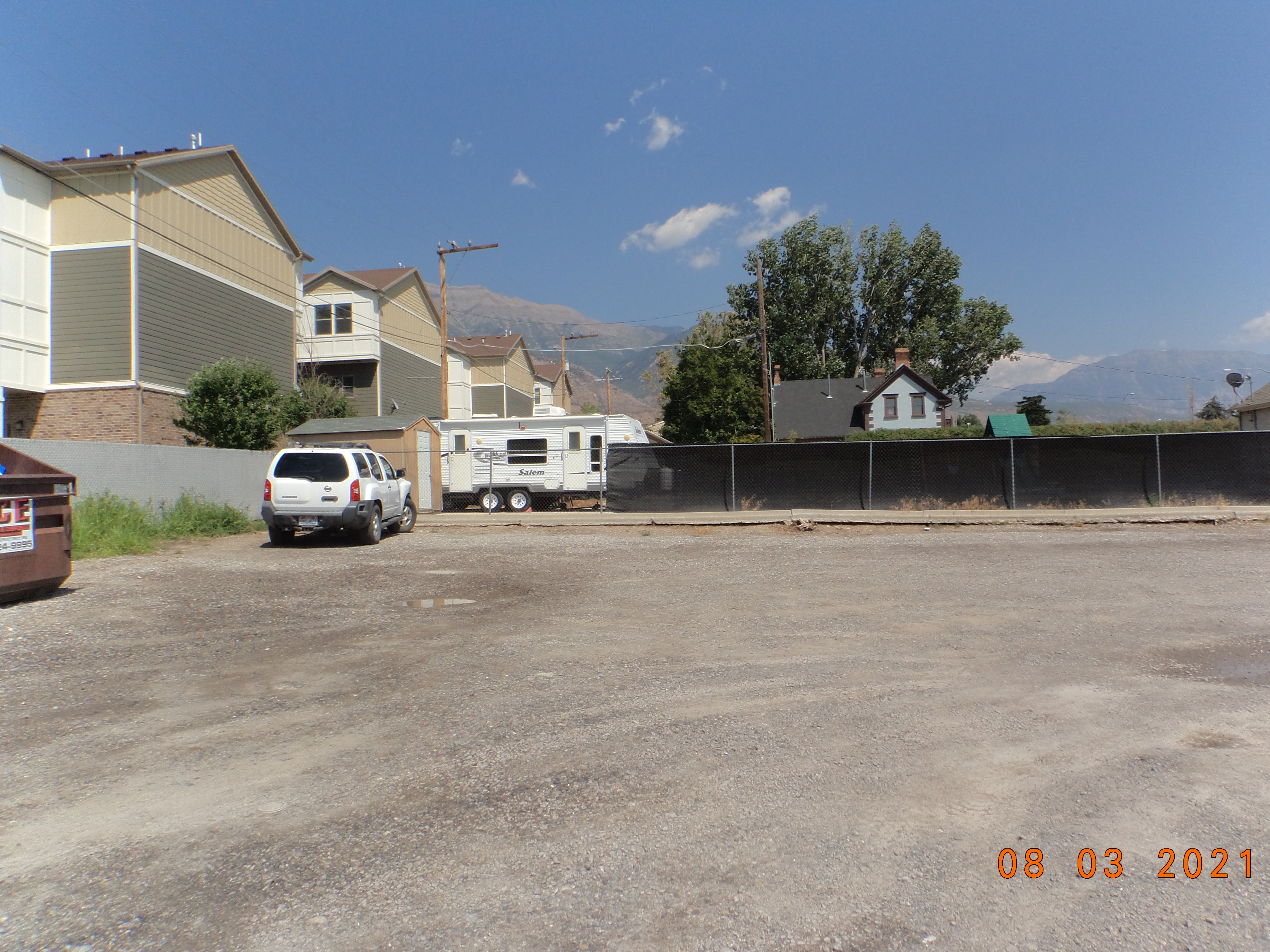
Total Photos: 1
|
| |
|
|
| Property Address: |
|
| Mailing Address: 2849 W SUNBURST WAY LEHI, UT 84043 |
|
| Acreage: 0.240406 |
|
| Last Document:
78495-2019
|
|
| Subdivision Map Filing |
|
| Taxing Description:
COM N 89 DEG 15' 18" E 1042.47 FT & N 0 DEG 16' 59" E 590.89 FT FR S 1/4 COR. SEC. 20, T5S, R2E, SLB&M.; S 89 DEG 39' 43" E 90.51 FT; S 0 DEG 17' 7" W 151.09 FT; N 89 DEG 43' 0" W 50.5 FT; N 0 DEG 16' 59" E 80 FT; N 89 DEG 43' 1" W 40 FT; N 0 DEG 16' 59" E 71.18 FT TO BEG. AREA 0.240 AC.
*Taxing description NOT FOR LEGAL DOCUMENTS
|
|
- Owner Names
- Value History
- Tax History
- Location
- Photos
- Documents
- Aerial Image
| |
----- Real Estate Values ----- |
---Improvements--- |
---Greenbelt--- |
Total |
| Year |
Com |
Res |
Agr |
Tot |
Com |
Res |
Agr |
Tot |
Land |
Homesite |
Tot |
Market Value |
| 2024 |
$184,900 |
$0 |
$0 |
$184,900 |
$0 |
$0 |
$0 |
$0 |
$0 |
$0 |
$0 |
$184,900 |
| 2023 |
$166,900 |
$0 |
$0 |
$166,900 |
$0 |
$0 |
$0 |
$0 |
$0 |
$0 |
$0 |
$166,900 |
| 2022 |
$159,100 |
$0 |
$0 |
$159,100 |
$0 |
$0 |
$0 |
$0 |
$0 |
$0 |
$0 |
$159,100 |
| 2021 |
$93,300 |
$0 |
$0 |
$93,300 |
$0 |
$0 |
$0 |
$0 |
$0 |
$0 |
$0 |
$93,300 |
| 2020 |
$93,300 |
$0 |
$0 |
$93,300 |
$0 |
$0 |
$0 |
$0 |
$0 |
$0 |
$0 |
$93,300 |
| 2019 |
$84,700 |
$0 |
$0 |
$84,700 |
$0 |
$0 |
$0 |
$0 |
$0 |
$0 |
$0 |
$84,700 |
| 2018 |
$80,700 |
$0 |
$0 |
$80,700 |
$0 |
$0 |
$0 |
$0 |
$0 |
$0 |
$0 |
$80,700 |
| 2017 |
$77,000 |
$0 |
$0 |
$77,000 |
$0 |
$0 |
$0 |
$0 |
$0 |
$0 |
$0 |
$77,000 |
| 2016 |
$70,000 |
$0 |
$0 |
$70,000 |
$0 |
$0 |
$0 |
$0 |
$0 |
$0 |
$0 |
$70,000 |
| Year |
General Taxes |
Adjustments |
Net Taxes |
Fees |
Payments |
Tax Balance* |
Balance Due |
Tax District |
| 2025 |
$0.00 |
$0.00 |
$0.00 |
$0.00 |
|
$0.00
|
$0.00 |
070 - PLEASANT GROVE CITY |
| 2024 |
$0.00 |
$0.00 |
$0.00 |
$0.00 |
|
($18.37)
|
($18.37) |
070 - PLEASANT GROVE CITY |
| 2023 |
$1,366.08 |
($31.71) |
$1,334.37 |
$0.00 |
|
$0.00
|
$0.00 |
070 - PLEASANT GROVE CITY |
| 2022 |
$1,308.76 |
$0.00 |
$1,308.76 |
$0.00 |
|
$0.00
|
$0.00 |
070 - PLEASANT GROVE CITY |
| 2021 |
$916.49 |
$0.00 |
$916.49 |
$0.00 |
|
$0.00
|
$0.00 |
070 - PLEASANT GROVE CITY |
| 2020 |
$934.87 |
$0.00 |
$934.87 |
$0.00 |
|
$0.00
|
$0.00 |
070 - PLEASANT GROVE CITY |
| 2019 |
$820.66 |
$0.00 |
$820.66 |
$0.00 |
|
$0.00
|
$0.00 |
070 - PLEASANT GROVE CITY |
| 2018 |
$826.93 |
$0.00 |
$826.93 |
$0.00 |
|
$0.00
|
$0.00 |
070 - PLEASANT GROVE CITY |
| 2017 |
$815.12 |
$0.00 |
$815.12 |
$0.00 |
|
$0.00
|
$0.00 |
070 - PLEASANT GROVE CITY |
| 2016 |
$767.55 |
$0.00 |
$767.55 |
$0.00 |
|
$0.00
|
$0.00 |
070 - PLEASANT GROVE CITY |
* Note: Original tax amount (Does not include applicable interest and/or fees).
| Entry # |
Date |
Recorded |
Type |
Party1 (Grantor) |
Party2 (Grantee) |
| 80785-2019 |
08/21/2019 |
08/21/2019 |
RSUBTEE |
R A D INVESTMENTS LLC (ET AL) |
WALLING, MATHEW BLAKE |
| 78496-2019 |
08/15/2019 |
08/16/2019 |
D TR |
WALLING RETAIL LLC |
MOUNTAIN AMERICA FEDERAL CREDIT UNION |
| 78495-2019 |
08/15/2019 |
08/16/2019 |
WD |
WALLING, MATHEW BLAKE |
WALLING RETAIL LLC |
| 60702-2018 |
06/28/2018 |
06/28/2018 |
WD |
WALLING, MATHEW BLAKE & MATHEW B AKA (ET AL) |
WALLING, MATHEW BLAKE |
| 84050-2017 |
08/25/2017 |
08/29/2017 |
TR D |
WALLING, MATHEW BLAKE |
RAD INVESTMENTS LLC |
| 84049-2017 |
08/23/2017 |
08/29/2017 |
WD |
R A D INVESTMENTS LLC ATA (ET AL) |
WALLING, MATHEW BLAKE |
| 74177-2015 |
08/07/2015 |
08/17/2015 |
REC |
UTAH COMMUNITY CREDIT UNION TEE |
DOWNTOWN DESIGNS LLC |
| 44730-2015 |
05/02/2015 |
05/26/2015 |
BLA |
JOHNSON, APRIL A CONSER (ET AL) |
R A D INVESTMENTS LLC FKA (ET AL) |
Main Menu Comments or Concerns on Value/Appraisal - Assessor's Office
Documents/Owner/Parcel information - Recorder's Office
Address Change for Tax Notice
This page was created on 7/21/2024 3:33:22 AM |