Property Information
mobile view
| Serial Number: 03:069:0037 |
Serial Life: 2025... |
|
|
 Total Photos: 1
|
| |
|
|
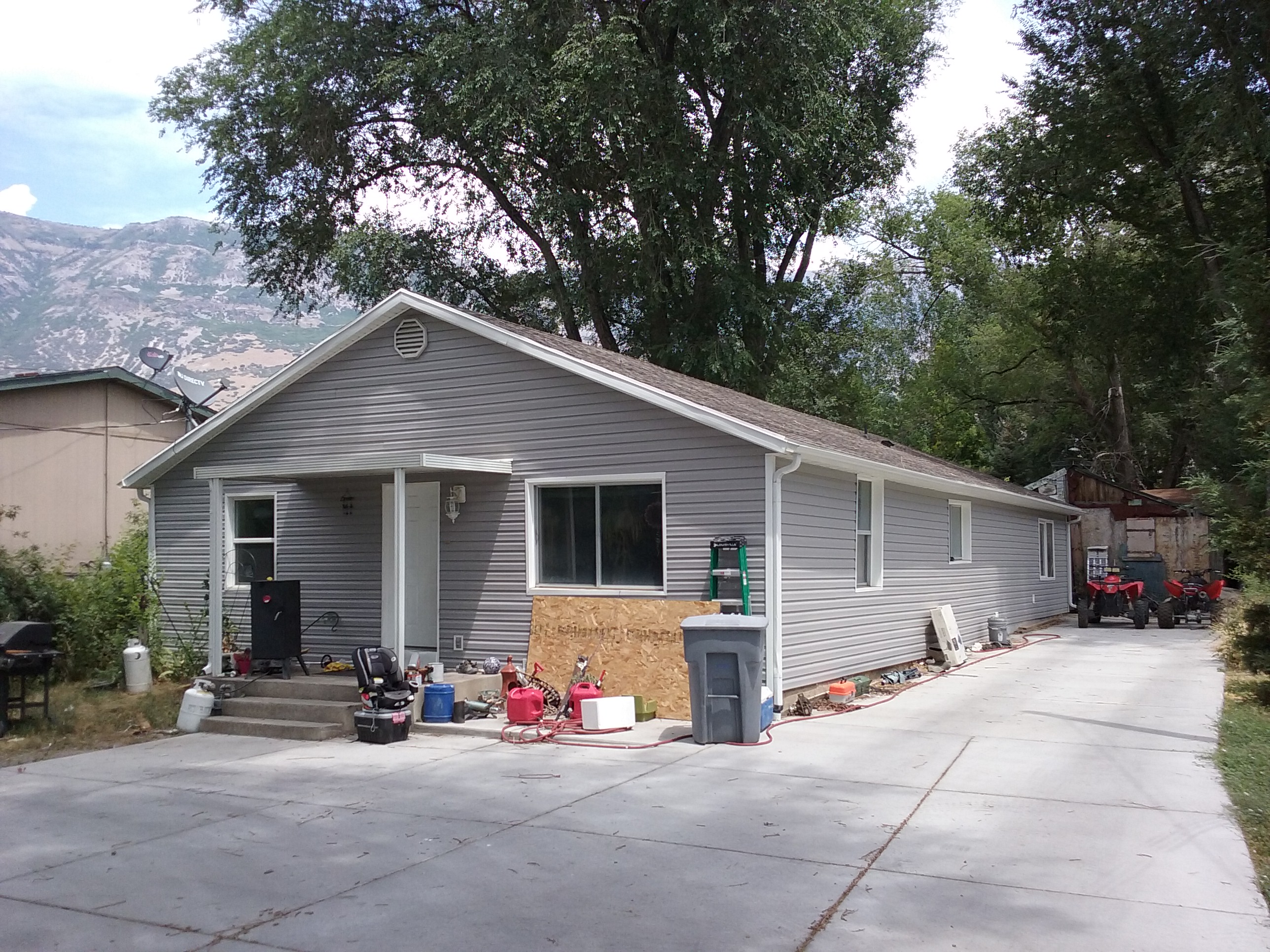
| Property Address: 530 N 100 EAST - PLEASANT GROVE |
|
| Mailing Address: 530 N 100 E PLEASANT GROVE, UT 84062-1738 |
|
| Acreage: 0.392448 |
|
| Last Document:
78640-2024
|
|
| Subdivision Map Filing |
|
| Taxing Description:
COM N 208.7 FT & W 347.612 FT FR INTERSECTION 500 N & 200 E PLEASANT GROVE CITY SURVEY; W 194.69 FT; N 21 DEG 27' 0" W 58 FT; E 313.21 FT; S 57.68 FT; S 83 DEG 30' 0" W 56 FT; N 87 DEG 50' 0" W 42 FT; N 2 DEG 0' 0" E 8.46 FT TO BEG. AREA 0.392 AC.
*Taxing description NOT FOR LEGAL DOCUMENTS
|
|
- Owner Names
- Value History
- Tax History
- Location
- Photos
- Documents
- Aerial Image
Main Menu Comments or Concerns on Value/Appraisal - Assessor's Office
Documents/Owner/Parcel information - Recorder's Office
Address Change for Tax Notice
This page was created on 2/9/2025 3:22:31 AM |