Property Information
mobile view
| Serial Number: 35:631:0019 |
Serial Life: 2024... |
|
|
 Total Photos: 1
|
| |
|
|
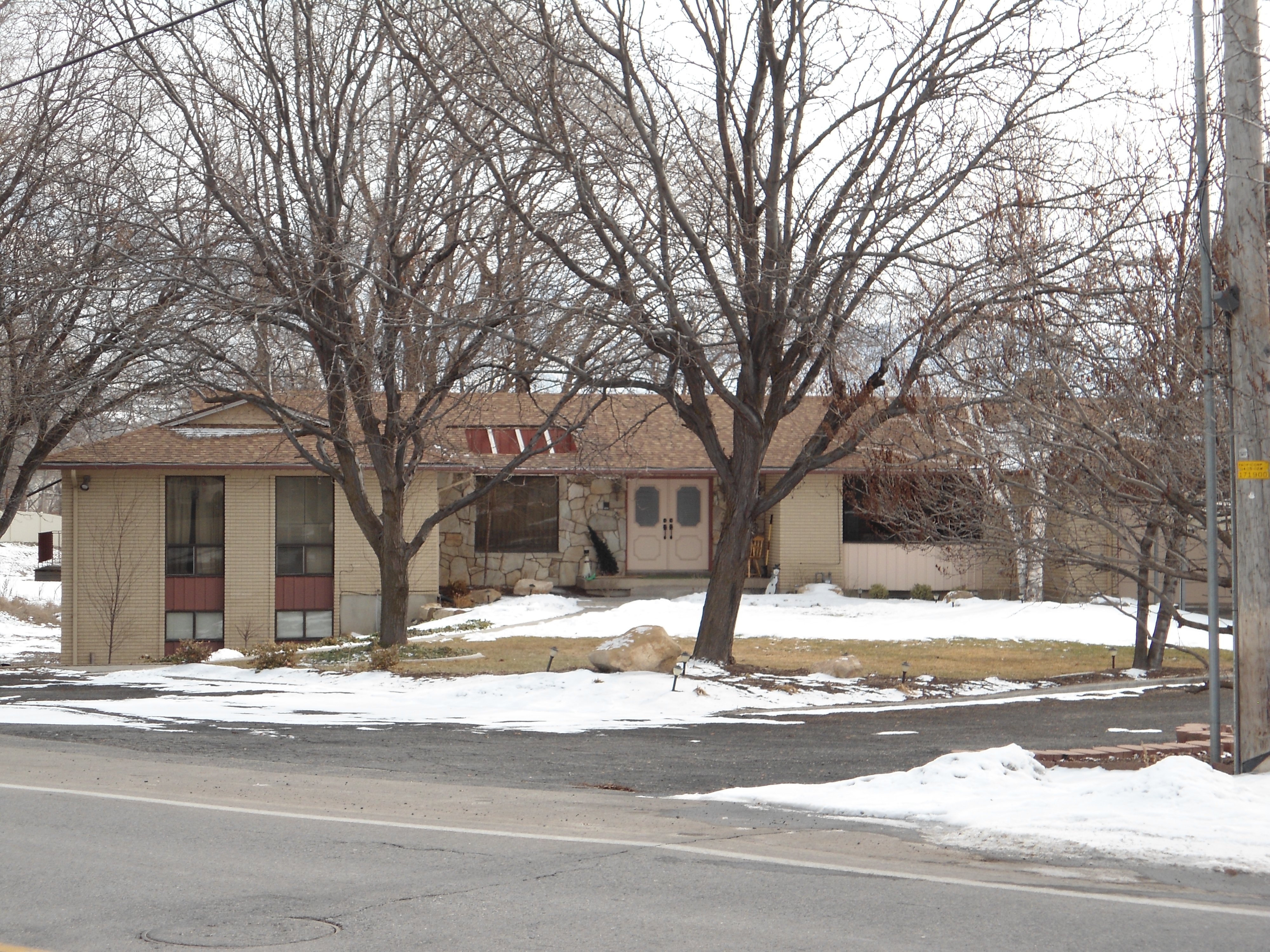
| Property Address: 735 W 2600 NORTH - PLEASANT GROVE |
|
| Mailing Address: 735 W 2600 N PLEASANT GROVE, UT 84062-9412 |
|
| Acreage: 0.779239 |
|
| Last Document:
24975-2023
|
|
| Subdivision Map Filing |
|
| Taxing Description:
PART LOT 5, PLAT B, BAYLIE'S BEND SUB DESCRIBED AS FOLLOWS; COM S 31.79 FT & E 628.61 FT FR NW COR. SEC. 17, T5S, R2E, SLB&M.; N 89 DEG 39' 25" E 228.41 FT; S 1 DEG 24' 25" W 153.84 FT; N 88 DEG 35' 35" W 224.14 FT; N 0 DEG 26' 43" E 68.1 FT; N 0 DEG 47' 30" W 78.83 FT TO BEG. AREA 0.779 AC.
*Taxing description NOT FOR LEGAL DOCUMENTS
|
|
- Owner Names
- Value History
- Tax History
- Location
- Photos
- Documents
- Aerial Image
Main Menu Comments or Concerns on Value/Appraisal - Assessor's Office
Documents/Owner/Parcel information - Recorder's Office
Address Change for Tax Notice
This page was created on 12/24/2024 8:00:57 PM |