Property Information
mobile view
| Serial Number: 43:301:0001 |
Serial Life: 2023... |
|
|
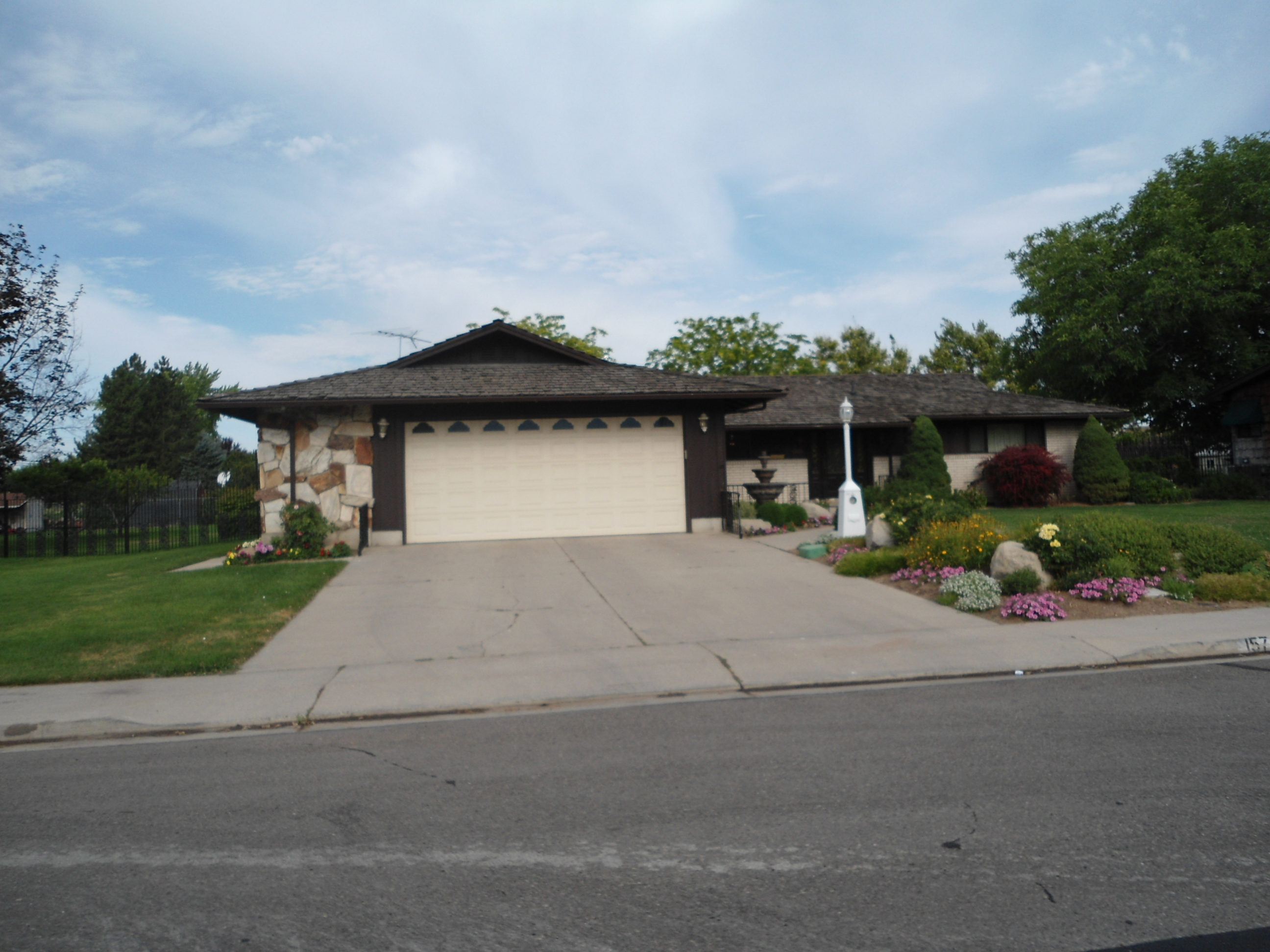 Total Photos: 1
|
| |
|
|
| Property Address: 157 N 600 WEST - OREM |
|
| Mailing Address: 157 N 600 W OREM, UT 84057-1931 |
|
| Acreage: 0.408456 |
|
| Last Document:
19509-2022
|
|
| Subdivision Map Filing |
|
| Taxing Description:
LOT 1, PLAT K, JEM ESTATES SUB AREA 0.408 AC.
*Taxing description NOT FOR LEGAL DOCUMENTS
|
|
- Owner Names
- Value History
- Tax History
- Location
- Photos
- Documents
- Aerial Image
| |
----- Real Estate Values ----- |
---Improvements--- |
---Greenbelt--- |
Total |
| Year |
Com |
Res |
Agr |
Tot |
Com |
Res |
Agr |
Tot |
Land |
Homesite |
Tot |
Market Value |
| 2024 |
$0 |
$213,300 |
$0 |
$213,300 |
$0 |
$376,800 |
$0 |
$376,800 |
$0 |
$0 |
$0 |
$590,100 |
| 2023 |
$0 |
$213,300 |
$0 |
$213,300 |
$0 |
$390,800 |
$0 |
$390,800 |
$0 |
$0 |
$0 |
$604,100 |
| Year |
General Taxes |
Adjustments |
Net Taxes |
Fees |
Payments |
Tax Balance* |
Balance Due |
Tax District |
| 2025 |
$0.00 |
$0.00 |
$0.00 |
$0.00 |
|
$0.00
|
$0.00 |
090 - OREM CITY |
| 2024 |
$0.00 |
$0.00 |
$0.00 |
$0.00 |
|
$0.00
|
$0.00 |
090 - OREM CITY |
| 2023 |
$2,528.13 |
$0.00 |
$2,528.13 |
$0.00 |
|
$0.00
|
$0.00 |
090 - OREM CITY |
* Note: Original tax amount (Does not include applicable interest and/or fees).
| Entry # |
Date |
Recorded |
Type |
Party1 (Grantor) |
Party2 (Grantee) |
| 4993-2023 |
01/25/2023 |
01/27/2023 |
D TR |
LOWE, JONATHAN RICHARD (ET AL) |
WELLS FARGO BANK |
| 4972-2023 |
01/25/2023 |
01/26/2023 |
WD |
MACDONALD, KAYE AKA (ET AL) |
LOWE, JONATHAN RICHARD |
| 90396-2022 |
08/09/2022 |
08/12/2022 |
AF DC |
MANGUM, JAMES EDWIN & JAMES E AKA (ET AL) |
MCDONALD, KAYE SUCTEE (ET AL) |
| 19509-2022 |
02/10/2022 |
02/14/2022 |
S PLAT |
MANGUM, SHIRLEY A TEE (ET AL) |
JEM ESTATES PLAT K |
Main Menu Comments or Concerns on Value/Appraisal - Assessor's Office
Documents/Owner/Parcel information - Recorder's Office
Address Change for Tax Notice
This page was created on 9/4/2024 9:10:29 AM |