Property Information
mobile view
| Serial Number: 44:017:0106 |
Serial Life: 2017... |
|
|
 Total Photos: 3
|
| |
|
|
| Property Address: OREM |
|
| Mailing Address: 835 E 800 S OREM, UT 84097-6535 |
|
| Acreage: 0.055738 |
|
| Last Document:
49925-2016
|
|
| Subdivision Map Filing |
|
| Taxing Description:
COM S 498.4 FT & W 246.79 FT FR NE COR. SEC.14, T6S, R2E, SLB&M.; N 89 DEG 6' 1" E 25 FT; S 0 DEG 54' 0" E 100 FT; S 89 DEG 6' 4" W 9.38 FT; N 0 DEG 1' 5" W 4.28 FT; N 89 DEG 7' 20" W 15.69 FT; N 0 DEG 54' 0" W 95.23 FT TO BEG. AREA 0.056 AC.
*Taxing description NOT FOR LEGAL DOCUMENTS
|
|
- Owner Names
- Value History
- Tax History
- Location
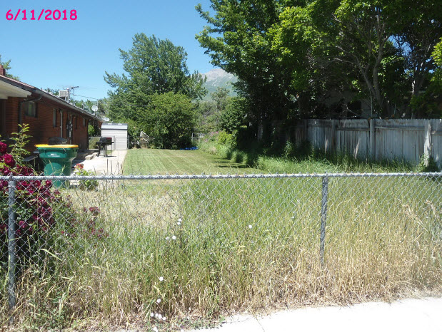
- Photos
- Documents
- Aerial Image
| |
----- Real Estate Values ----- |
---Improvements--- |
---Greenbelt--- |
Total |
| Year |
Com |
Res |
Agr |
Tot |
Com |
Res |
Agr |
Tot |
Land |
Homesite |
Tot |
Market Value |
| 2024 |
$0 |
$3,500 |
$0 |
$3,500 |
$0 |
$0 |
$0 |
$0 |
$0 |
$0 |
$0 |
$3,500 |
| 2023 |
$0 |
$3,500 |
$0 |
$3,500 |
$0 |
$0 |
$0 |
$0 |
$0 |
$0 |
$0 |
$3,500 |
| 2022 |
$0 |
$3,300 |
$0 |
$3,300 |
$0 |
$0 |
$0 |
$0 |
$0 |
$0 |
$0 |
$3,300 |
| 2021 |
$0 |
$3,300 |
$0 |
$3,300 |
$0 |
$0 |
$0 |
$0 |
$0 |
$0 |
$0 |
$3,300 |
| 2020 |
$0 |
$3,300 |
$0 |
$3,300 |
$0 |
$0 |
$0 |
$0 |
$0 |
$0 |
$0 |
$3,300 |
| 2019 |
$0 |
$3,300 |
$0 |
$3,300 |
$0 |
$0 |
$0 |
$0 |
$0 |
$0 |
$0 |
$3,300 |
| 2018 |
$0 |
$3,300 |
$0 |
$3,300 |
$0 |
$0 |
$0 |
$0 |
$0 |
$0 |
$0 |
$3,300 |
| 2017 |
$0 |
$3,300 |
$0 |
$3,300 |
$0 |
$0 |
$0 |
$0 |
$0 |
$0 |
$0 |
$3,300 |
| Year |
General Taxes |
Adjustments |
Net Taxes |
Fees |
Payments |
Tax Balance* |
Balance Due |
Tax District |
| 2025 |
$0.00 |
$0.00 |
$0.00 |
$0.00 |
|
$0.00
|
$0.00 |
090 - OREM CITY |
| 2024 |
$15.74 |
$0.00 |
$15.74 |
$0.00 |
|
|
Click for Payoff
|
090 - OREM CITY |
| 2023 |
$14.65 |
$0.00 |
$14.65 |
$0.00 |
|
$0.00
|
$0.00 |
090 - OREM CITY |
| 2022 |
$14.26 |
$0.00 |
$14.26 |
$0.00 |
|
$0.00
|
$0.00 |
090 - OREM CITY |
| 2021 |
$17.11 |
$0.00 |
$17.11 |
$0.00 |
|
$0.00
|
$0.00 |
090 - OREM CITY |
| 2020 |
$17.41 |
$0.00 |
$17.41 |
$0.00 |
|
$0.00
|
$0.00 |
090 - OREM CITY |
| 2019 |
$16.74 |
$0.00 |
$16.74 |
$0.00 |
|
$0.00
|
$0.00 |
090 - OREM CITY |
| 2018 |
$17.52 |
$0.00 |
$17.52 |
$0.00 |
|
$0.00
|
$0.00 |
090 - OREM CITY |
| 2017 |
$17.99 |
$0.00 |
$17.99 |
$0.00 |
|
$0.00
|
$0.00 |
090 - OREM CITY |
* Note: Original tax amount (Does not include applicable interest and/or fees).
| Entry # |
Date |
Recorded |
Type |
Party1 (Grantor) |
Party2 (Grantee) |
| 109321-2016 |
10/28/2016 |
10/31/2016 |
C WD |
CLARKE, STEPHEN K |
CARDON, MARIA |
| 49925-2016 |
05/18/2016 |
06/02/2016 |
QCD |
BOWEN, LON & LON W (ET AL) |
BOWEN, LON W & REVA C TEE (ET AL) |
Main Menu Comments or Concerns on Value/Appraisal - Assessor's Office
Documents/Owner/Parcel information - Recorder's Office
Address Change for Tax Notice
This page was created on 10/3/2024 4:24:05 AM |

