Property Information
mobile view
| Serial Number: 45:586:0005 |
Serial Life: 2017... |
|
|
Total Photos: 5
|
| |
|
|
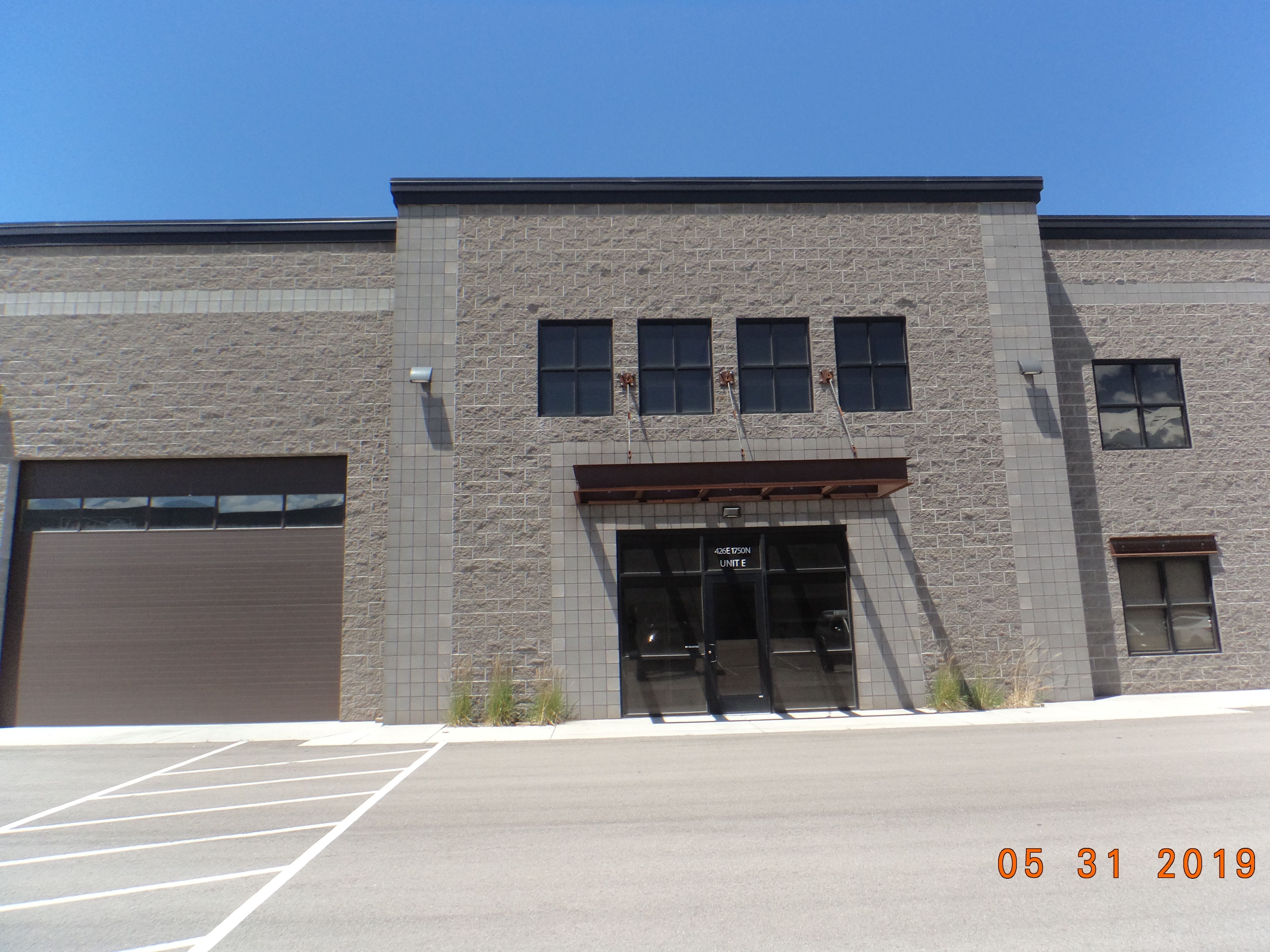
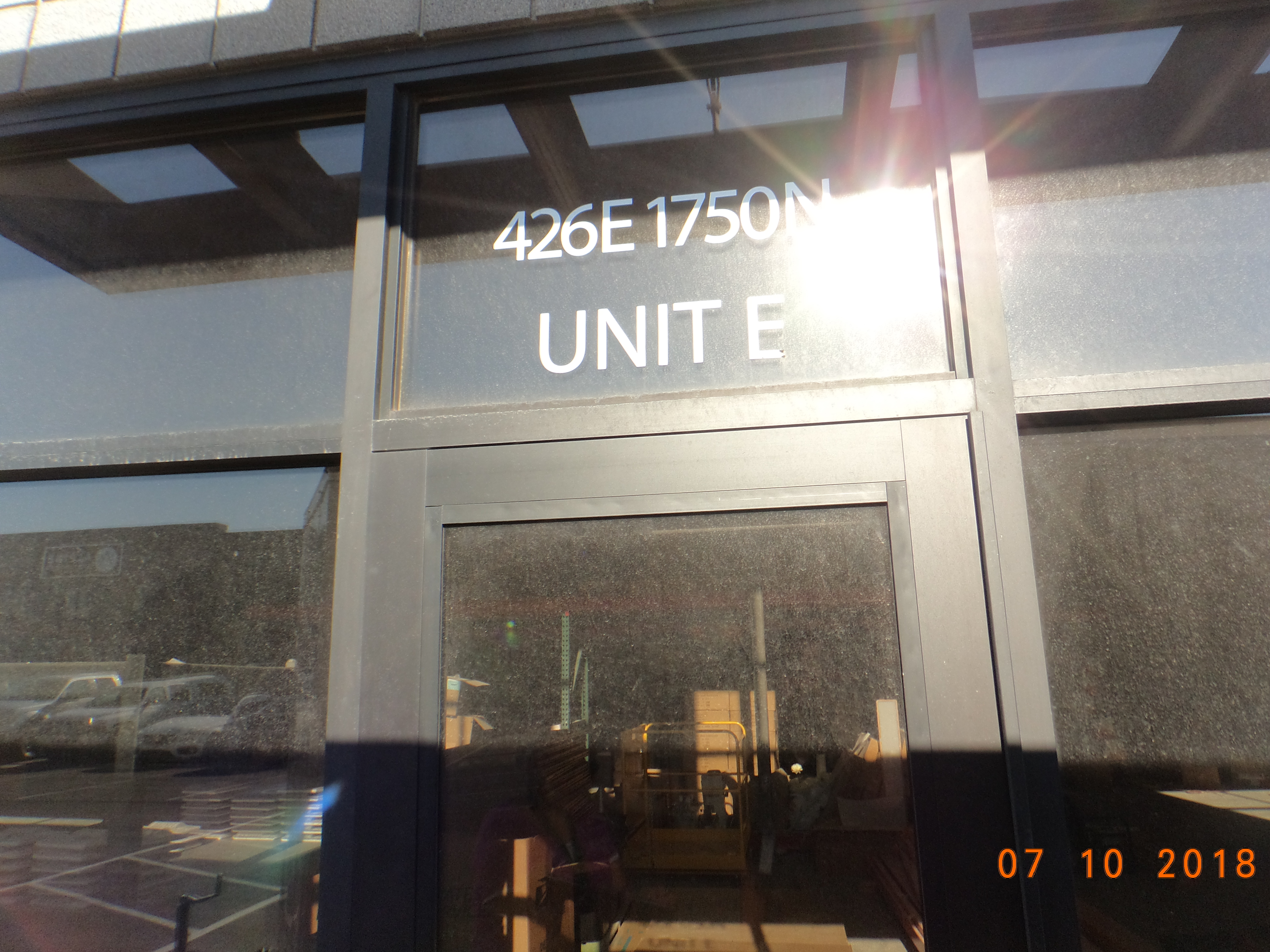
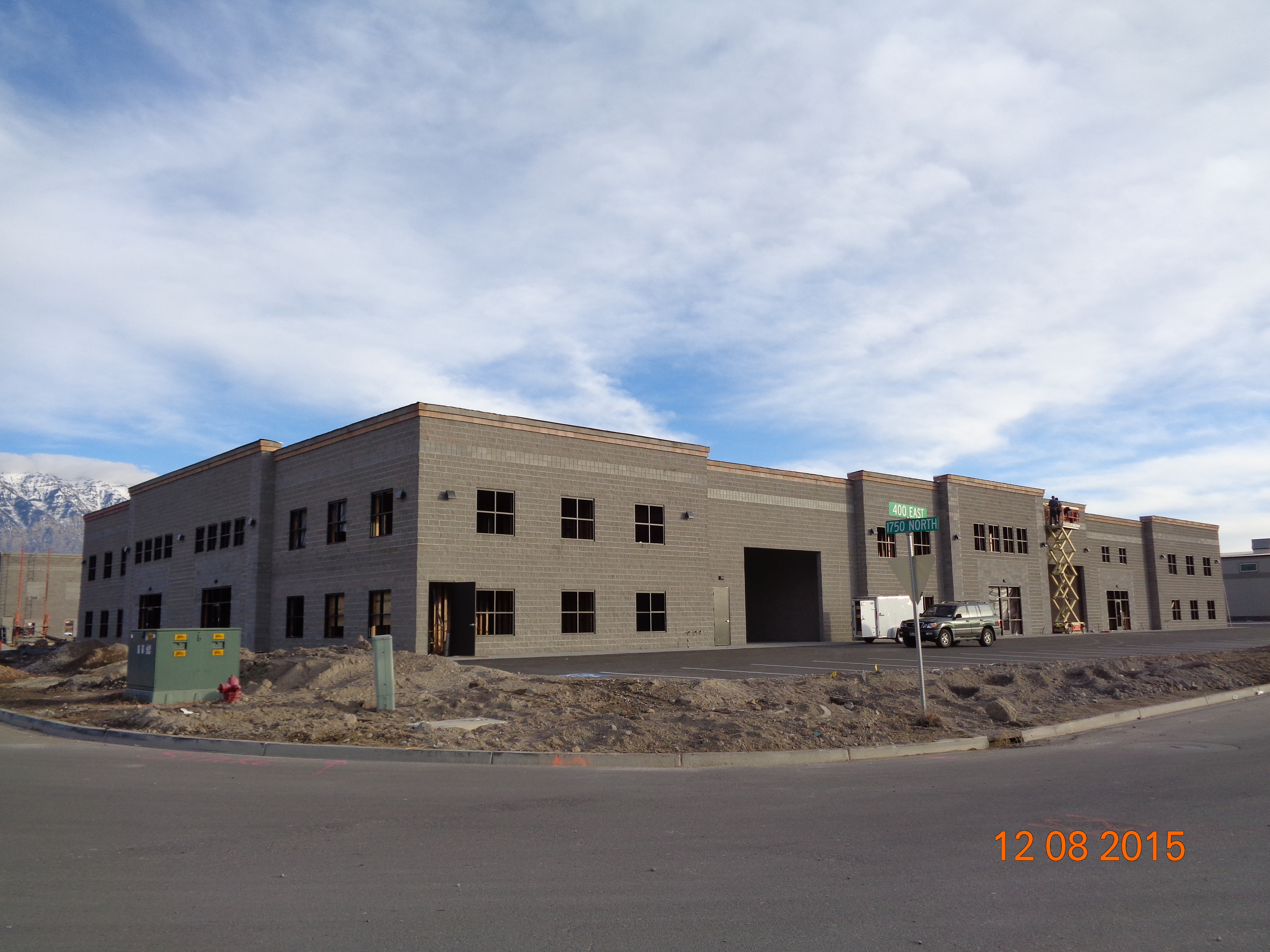
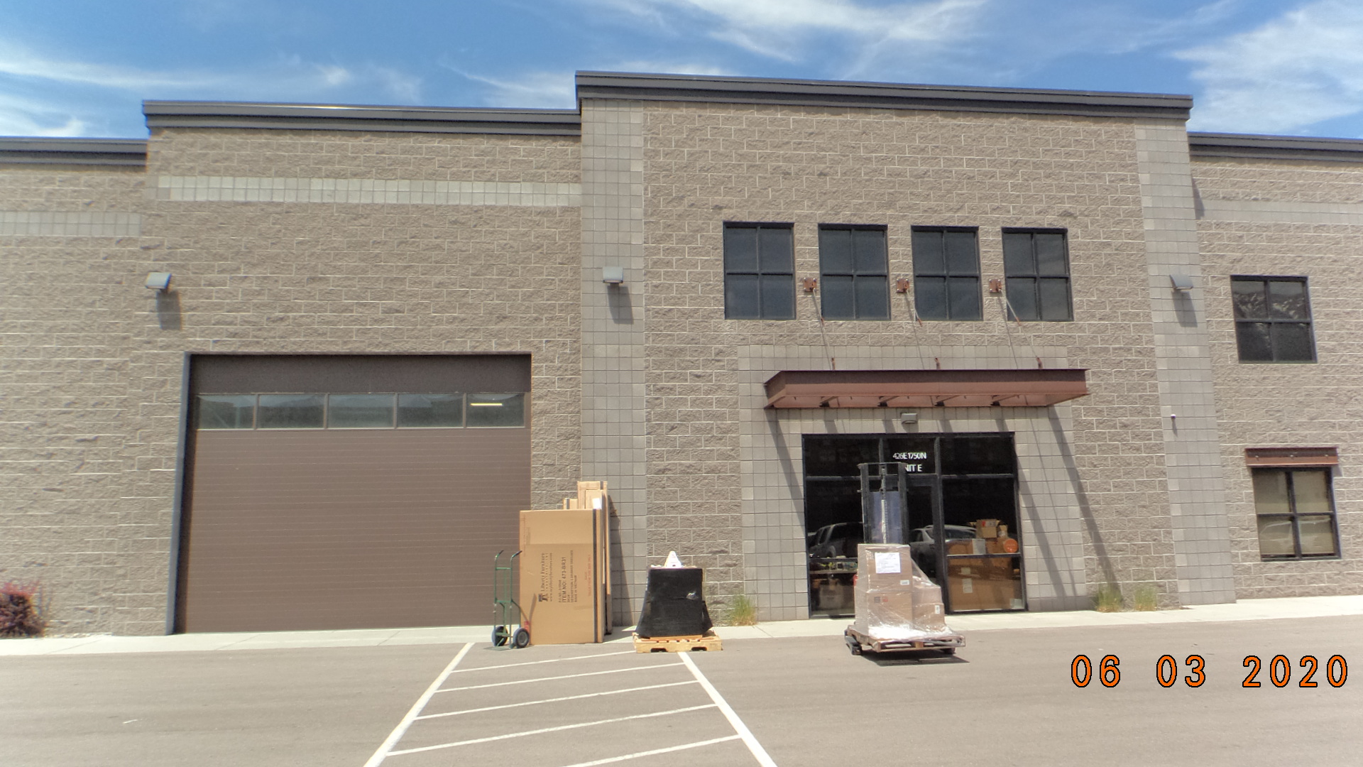
| Property Address: 436 E 1750 NORTH - VINEYARD |
|
| Mailing Address: 201 E 1750 N VINEYARD, UT 84059 |
|
| Acreage: 0.132058 |
|
| Last Document:
24820-2016
|
|
| Subdivision Map Filing |
|
| Taxing Description:
LOT E, LAKEVIEW HOLDINGS WAREHOUSE CONDOS. AREA 0.132 AC.
*Taxing description NOT FOR LEGAL DOCUMENTS
|
|
- Owner Names
- Value History
- Tax History
- Location
- Photos
- Documents
- Aerial Image
| |
----- Real Estate Values ----- |
---Improvements--- |
---Greenbelt--- |
Total |
| Year |
Com |
Res |
Agr |
Tot |
Com |
Res |
Agr |
Tot |
Land |
Homesite |
Tot |
Market Value |
| 2024 |
$141,100 |
$0 |
$0 |
$141,100 |
$587,500 |
$0 |
$0 |
$587,500 |
$0 |
$0 |
$0 |
$728,600 |
| 2023 |
$138,300 |
$0 |
$0 |
$138,300 |
$576,000 |
$0 |
$0 |
$576,000 |
$0 |
$0 |
$0 |
$714,300 |
| 2022 |
$138,300 |
$0 |
$0 |
$138,300 |
$433,100 |
$0 |
$0 |
$433,100 |
$0 |
$0 |
$0 |
$571,400 |
| 2021 |
$138,300 |
$0 |
$0 |
$138,300 |
$433,100 |
$0 |
$0 |
$433,100 |
$0 |
$0 |
$0 |
$571,400 |
| 2020 |
$138,300 |
$0 |
$0 |
$138,300 |
$433,100 |
$0 |
$0 |
$433,100 |
$0 |
$0 |
$0 |
$571,400 |
| 2019 |
$122,900 |
$0 |
$0 |
$122,900 |
$448,500 |
$0 |
$0 |
$448,500 |
$0 |
$0 |
$0 |
$571,400 |
| 2018 |
$107,600 |
$0 |
$0 |
$107,600 |
$373,500 |
$0 |
$0 |
$373,500 |
$0 |
$0 |
$0 |
$481,100 |
| 2017 |
$107,600 |
$0 |
$0 |
$107,600 |
$373,500 |
$0 |
$0 |
$373,500 |
$0 |
$0 |
$0 |
$481,100 |
| Year |
General Taxes |
Adjustments |
Net Taxes |
Fees |
Payments |
Tax Balance* |
Balance Due |
Tax District |
| 2025 |
$0.00 |
$0.00 |
$0.00 |
$0.00 |
|
$0.00
|
$0.00 |
095 - VINEYARD CITY |
| 2024 |
$0.00 |
$0.00 |
$0.00 |
$0.00 |
|
$0.00
|
$0.00 |
095 - VINEYARD CITY |
| 2023 |
$6,815.14 |
$0.00 |
$6,815.14 |
$0.00 |
|
$0.00
|
$0.00 |
095 - VINEYARD CITY |
| 2022 |
$5,607.72 |
$0.00 |
$5,607.72 |
$0.00 |
|
$0.00
|
$0.00 |
095 - VINEYARD CITY |
| 2021 |
$6,651.10 |
$0.00 |
$6,651.10 |
$0.00 |
|
$0.00
|
$0.00 |
095 - VINEYARD CITY |
| 2020 |
$6,657.38 |
$0.00 |
$6,657.38 |
$0.00 |
|
$0.00
|
$0.00 |
095 - VINEYARD CITY |
| 2019 |
$6,460.82 |
$0.00 |
$6,460.82 |
$0.00 |
|
$0.00
|
$0.00 |
095 - VINEYARD CITY |
| 2018 |
$5,918.01 |
$0.00 |
$5,918.01 |
$0.00 |
|
$0.00
|
$0.00 |
095 - VINEYARD CITY |
| 2017 |
$6,038.29 |
$0.00 |
$6,038.29 |
$0.00 |
|
$0.00
|
$0.00 |
095 - VINEYARD CITY |
* Note: Original tax amount (Does not include applicable interest and/or fees).
| Entry # |
Date |
Recorded |
Type |
Party1 (Grantor) |
Party2 (Grantee) |
| 3629-2022 |
01/10/2022 |
01/10/2022 |
REC |
ALTABANK TEE |
COWIE HOLDINGS EAST LLC |
| 9564-2017 |
01/23/2017 |
01/30/2017 |
ADECCOV |
LAKEVIEW HOLDINGS WAREHOUSE CONDOMINIUMS LLC (ET AL) |
WHOM OF INTEREST |
| 40642-2016 |
05/06/2016 |
05/09/2016 |
D TR |
COWIE HOLDINGS EAST LLC |
BANK OF AMERICAN FORK |
| 40641-2016 |
05/06/2016 |
05/09/2016 |
SP WD |
LAKEVIEW HOLDINGS UTAH LLC |
COWIE HOLDINGS EAST LLC |
| 24821-2016 |
03/22/2016 |
03/24/2016 |
DECLCOV |
LAKEVIEW HOLDINGS WAREHLUSE CONDOMINIUMS LLC BY (ET AL) |
WHOM OF INTEREST |
| 24820-2016 |
03/17/2016 |
03/24/2016 |
C PLAT |
LAKEVIEW HOLDINGS UTAH LLC |
LAKEVIEW HOLDINGS WAREHOUSE CONDOMINIUMS |
Main Menu Comments or Concerns on Value/Appraisal - Assessor's Office
Documents/Owner/Parcel information - Recorder's Office
Address Change for Tax Notice
This page was created on 7/19/2024 7:36:19 PM |