Property Information
mobile view
| Serial Number: 46:861:0018 |
Serial Life: 2017 |
|
|
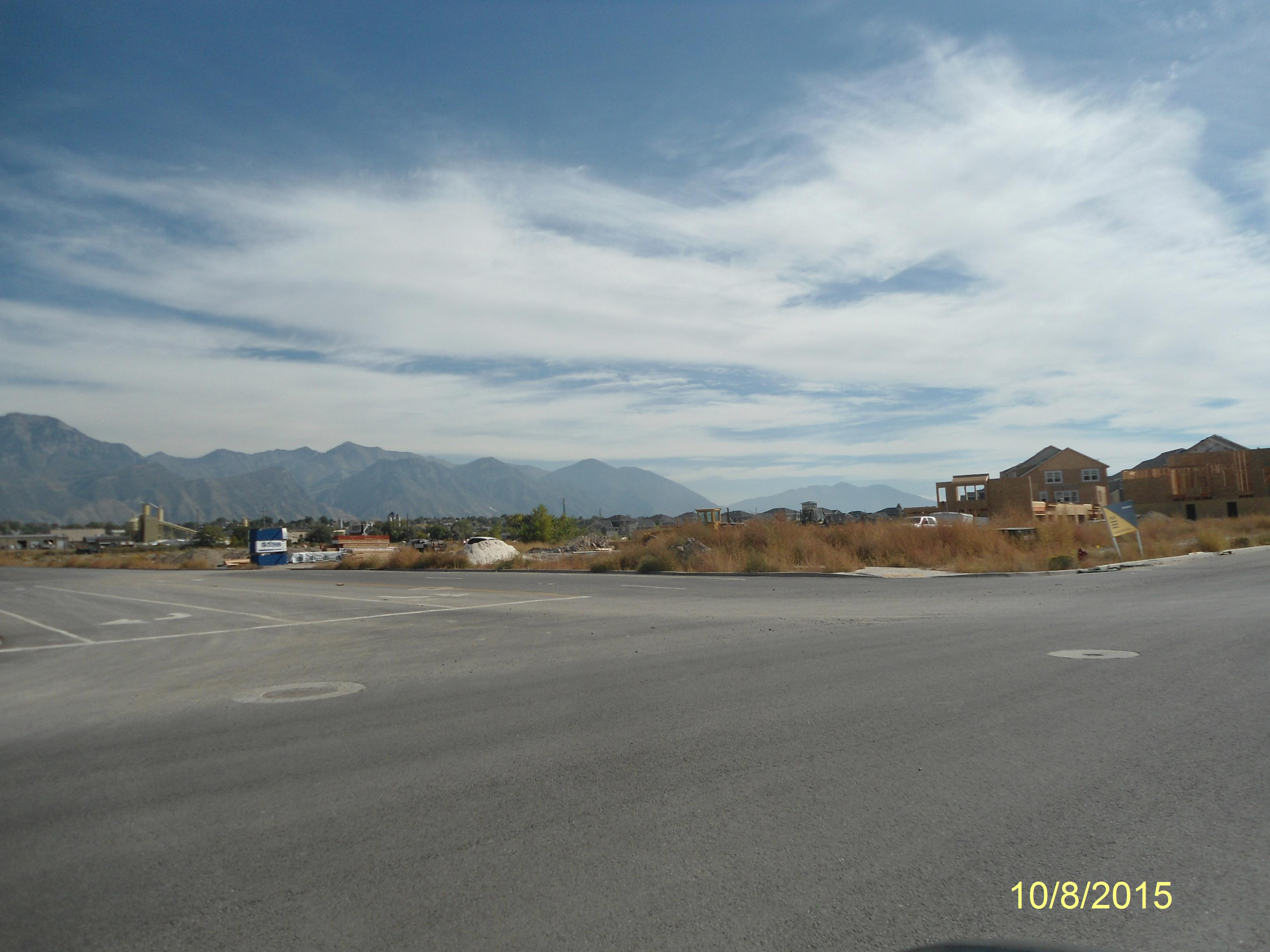
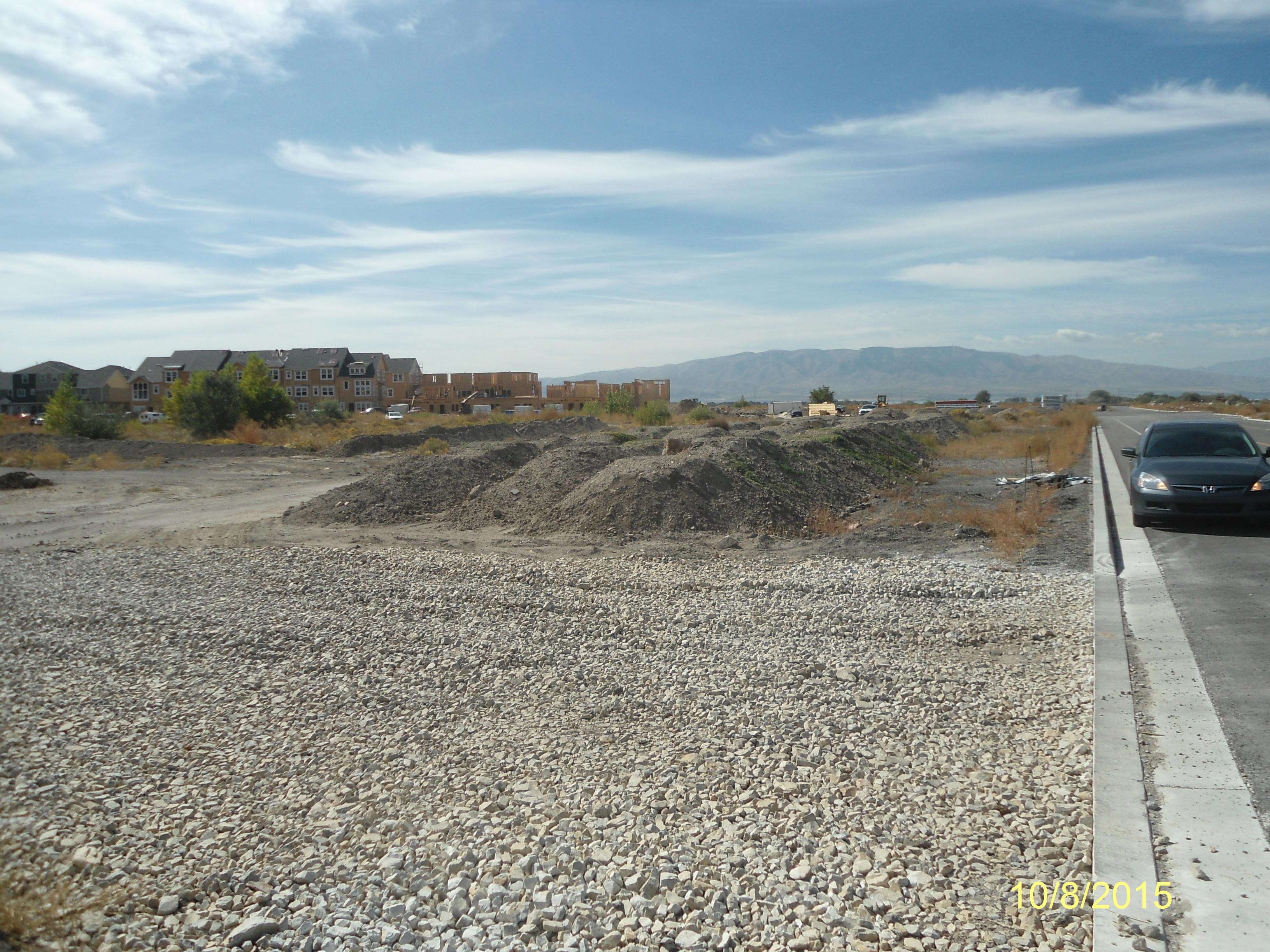
Total Photos: 1
|
| |
|
|
| Property Address: |
|
| Mailing Address: 5255 W 11000 N # 125 HIGHLAND, UT 84003 |
|
| Acreage: 4.897598 |
|
| Last Document:
8255-2016
|
|
| Subdivision Map Filing |
|
| Taxing Description:
PART LOT 4, MILL ROAD EAST SUB DESCRIBED AS FOLLOWS:; COM S 46.18 FT & W 699.15 FT FR NE COR. SEC. 17, T6S, R2E, SLB&M.; N 89 DEG 26' 1" E 321.84 FT; S 666.74 FT; S 89 DEG 59' 56" W 92.5 FT; S 25.03 FT; S 89 DEG 59' 56" W 227.5 FT; N 0 DEG 0' 1" W 182.54 FT; S 89 DEG 56' 16" E 14.51 FT; N 161.23 FT; N 117.75 FT; N 11 DEG 23' 53" E 31.94 FT; N 0 DEG 34' 3" W 8 FT; N 10 DEG 2' 31" E 26.45 FT; S 89 DEG 26' 4" W 26.96 FT; N 0 DEG 4' 40" W 162 FT TO BEG. AREA 4.898 AC.
*Taxing description NOT FOR LEGAL DOCUMENTS
|
|
- Owner Names
- Value History
- Tax History
- Location
- Photos
- Documents
- Aerial Image
Main Menu Comments or Concerns on Value/Appraisal - Assessor's Office
Documents/Owner/Parcel information - Recorder's Office
Address Change for Tax Notice
This page was created on 7/22/2024 4:49:41 PM |