Property Information
mobile view
| Serial Number: 47:273:0001 |
Serial Life: 2008-2017 |
|
|
Total Photos: 4
|
| |
|
|
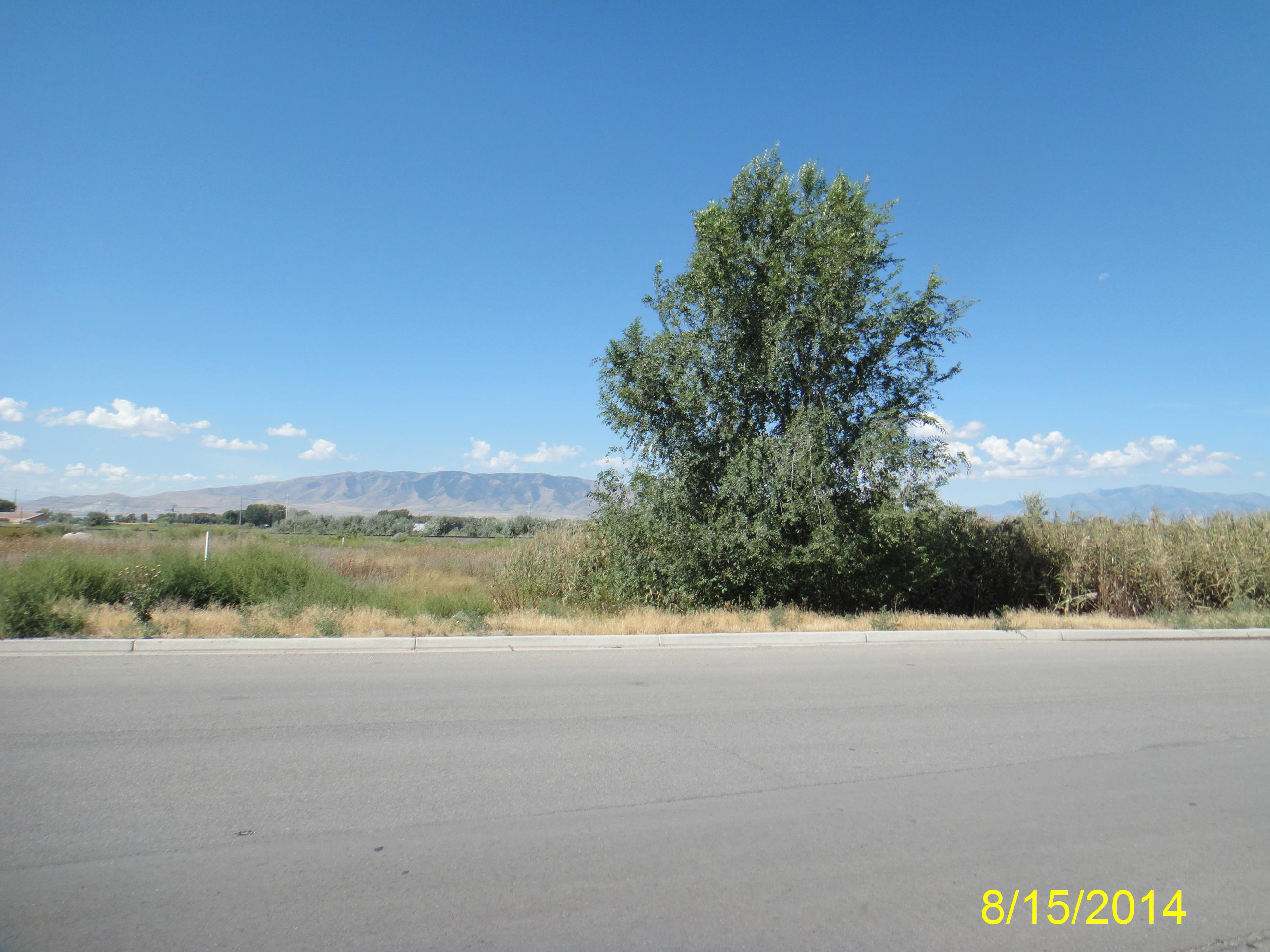
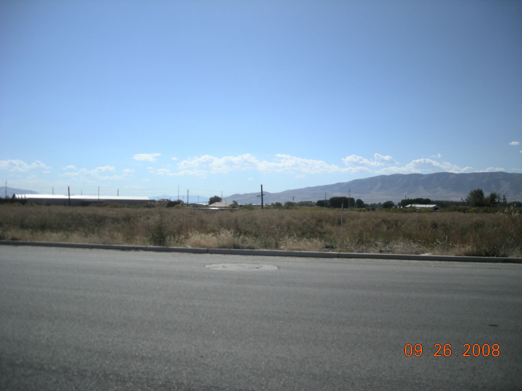
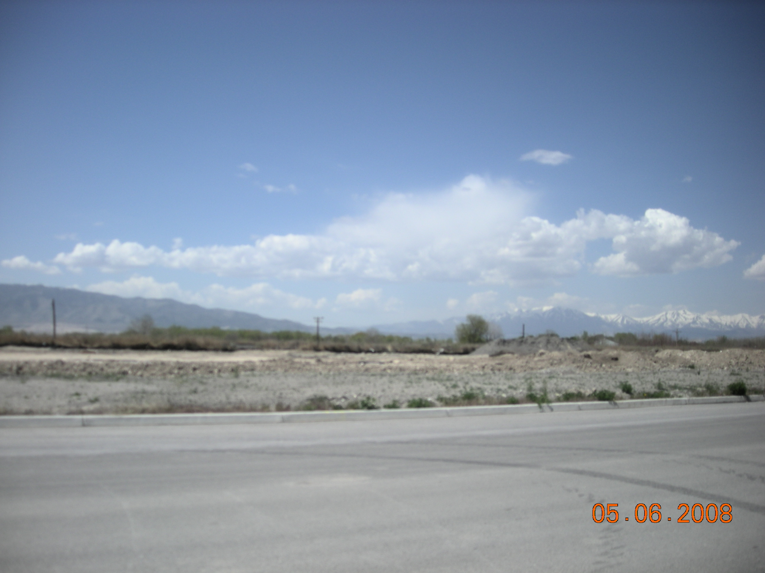
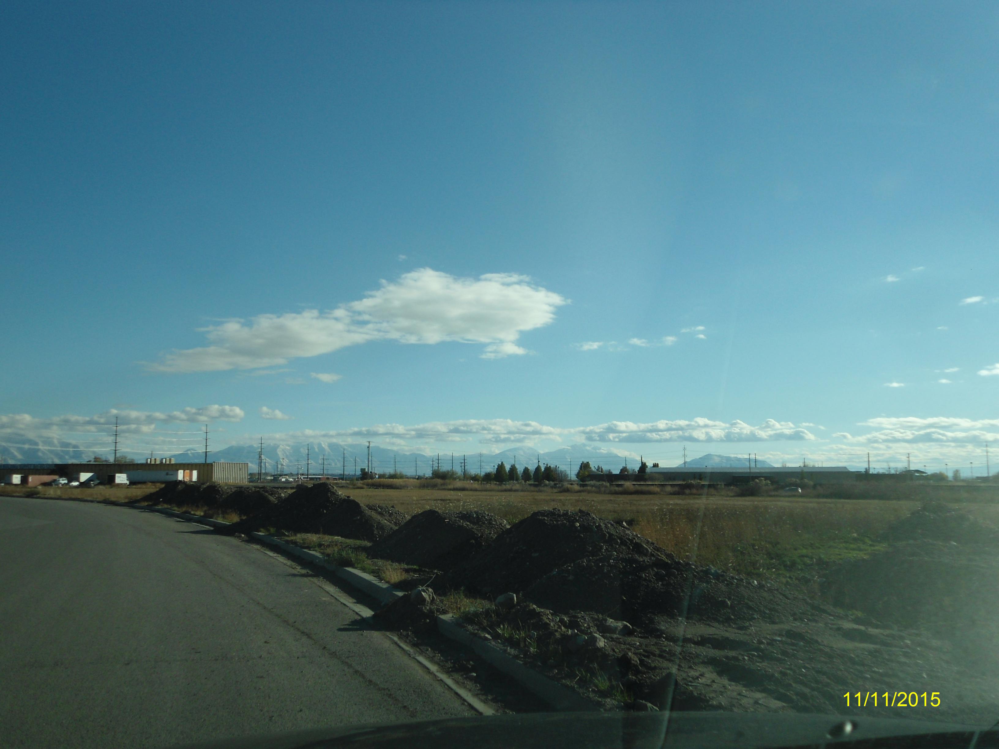
| Property Address: 948 S AUTO MALL DR - AMERICAN FORK |
|
| Mailing Address: 791 W 800 S MAPLETON, UT 84664-4402 |
|
| Acreage: 1 |
|
| Last Document:
132276-2016
|
|
| Subdivision Map Filing |
|
| Taxing Description:
LOT 1, PLAT B, NORTHSHORE CORPORATION CENTER SUBDV. AREA 1.000 AC.
*Taxing description NOT FOR LEGAL DOCUMENTS
|
|
- Owner Names
- Value History
- Tax History
- Location
- Photos
- Documents
- Aerial Image
| |
----- Real Estate Values ----- |
---Improvements--- |
---Greenbelt--- |
Total |
| Year |
Com |
Res |
Agr |
Tot |
Com |
Res |
Agr |
Tot |
Land |
Homesite |
Tot |
Market Value |
| 2017 |
$187,300 |
$0 |
$0 |
$187,300 |
$0 |
$0 |
$0 |
$0 |
$0 |
$0 |
$0 |
$187,300 |
| 2016 |
$178,600 |
$0 |
$0 |
$178,600 |
$0 |
$0 |
$0 |
$0 |
$0 |
$0 |
$0 |
$178,600 |
| 2015 |
$174,200 |
$0 |
$0 |
$174,200 |
$0 |
$0 |
$0 |
$0 |
$0 |
$0 |
$0 |
$174,200 |
| 2014 |
$108,000 |
$0 |
$0 |
$108,000 |
$0 |
$0 |
$0 |
$0 |
$0 |
$0 |
$0 |
$108,000 |
| 2013 |
$98,355 |
$0 |
$0 |
$98,355 |
$0 |
$0 |
$0 |
$0 |
$0 |
$0 |
$0 |
$98,355 |
| 2012 |
$98,355 |
$0 |
$0 |
$98,355 |
$0 |
$0 |
$0 |
$0 |
$0 |
$0 |
$0 |
$98,355 |
| 2011 |
$98,355 |
$0 |
$0 |
$98,355 |
$0 |
$0 |
$0 |
$0 |
$0 |
$0 |
$0 |
$98,355 |
| 2010 |
$98,355 |
$0 |
$0 |
$98,355 |
$0 |
$0 |
$0 |
$0 |
$0 |
$0 |
$0 |
$98,355 |
| 2009 |
$100,362 |
$0 |
$0 |
$100,362 |
$0 |
$0 |
$0 |
$0 |
$0 |
$0 |
$0 |
$100,362 |
| 2008 |
$100,362 |
$0 |
$0 |
$100,362 |
$0 |
$0 |
$0 |
$0 |
$0 |
$0 |
$0 |
$100,362 |
| Year |
General Taxes |
Adjustments |
Net Taxes |
Fees |
Payments |
Tax Balance* |
Balance Due |
Tax District |
| 2017 |
$1,992.68 |
$0.00 |
$1,992.68 |
$0.00 |
|
$0.00
|
$0.00 |
060 - AMERICAN FORK CITY |
| 2016 |
$2,045.15 |
$0.00 |
$2,045.15 |
$0.00 |
|
$0.00
|
$0.00 |
060 - AMERICAN FORK CITY |
| 2015 |
$2,101.90 |
$0.00 |
$2,101.90 |
$0.00 |
|
$0.00
|
$0.00 |
060 - AMERICAN FORK CITY |
| 2014 |
$1,321.06 |
$0.00 |
$1,321.06 |
$0.00 |
|
$0.00
|
$0.00 |
060 - AMERICAN FORK CITY |
| 2013 |
$1,296.52 |
$0.00 |
$1,296.52 |
$0.00 |
|
$0.00
|
$0.00 |
060 - AMERICAN FORK CITY |
| 2012 |
$1,322.68 |
$0.00 |
$1,322.68 |
$0.00 |
|
$0.00
|
$0.00 |
060 - AMERICAN FORK CITY |
| 2011 |
$1,319.14 |
$0.00 |
$1,319.14 |
$0.00 |
|
$0.00
|
$0.00 |
060 - AMERICAN FORK CITY |
| 2010 |
$1,238.39 |
$0.00 |
$1,238.39 |
$0.00 |
|
$0.00
|
$0.00 |
060 - AMERICAN FORK CITY |
| 2009 |
$1,163.30 |
$0.00 |
$1,163.30 |
$0.00 |
|
$0.00
|
$0.00 |
060 - AMERICAN FORK CITY |
| 2008 |
$1,093.54 |
$0.00 |
$1,093.54 |
$0.00 |
|
$0.00
|
$0.00 |
060 - AMERICAN FORK CITY |
* Note: Original tax amount (Does not include applicable interest and/or fees).
| Entry # |
Date |
Recorded |
Type |
Party1 (Grantor) |
Party2 (Grantee) |
| 44954-2017 |
03/28/2017 |
05/09/2017 |
S PLAT |
C&R STONE INC |
NORTHSHORE CORPORATION CENTER PLAT F |
| 44598-2017 |
03/14/2017 |
05/09/2017 |
ORDIN |
AMERICAN FORK CITY |
WHOM OF INTEREST |
| 132276-2016 |
12/30/2016 |
12/30/2016 |
QCD |
T & M HOLDINGS LLC |
C & R STONE INC |
| 44381-2015 |
05/21/2015 |
05/22/2015 |
WD |
MILLER, RICHARD 50%INT (ET AL) |
T & M HOLDINGS LLC |
| 44380-2015 |
05/21/2015 |
05/22/2015 |
SP WD |
MATRIX COMMUNICATIONS AKA (ET AL) |
MILLER, RICHARD |
| 114949-2008 |
10/20/2008 |
10/22/2008 |
CT |
STATE OF UTAH |
WHOM OF INTEREST |
| 107508-2008 |
09/30/2008 |
09/30/2008 |
RESOL |
BOARD OF COUNTY COMMISSIONERS UTAH COUNTY |
WHOM OF INTEREST |
| 346-2008 |
12/28/2007 |
01/02/2008 |
WD |
LOWE LAND IMPROVEMENT LC |
MATRIX COMMUNICATIONS AN INT (ET AL) |
| 164504-2007 |
10/04/2007 |
11/21/2007 |
CORR AF |
LOWE LAND IMPROVEMENT LC (ET AL) |
WHOM OF INTEREST |
| 151493-2007 |
10/18/2007 |
10/23/2007 |
REC |
GOLDENWEST FEDERAL CREDIT UNION TEE |
LOWE LAND IMPROVEMENT LC |
| 151492-2007 |
10/18/2007 |
10/23/2007 |
REC |
GOLDENWEST FEDERAL CREDIT UNION TEE |
LOWE LAND IMPROVEMENT LC |
| 82948-2007 |
03/27/2007 |
06/05/2007 |
S PLAT |
TIBBLE FORK HOLDINGS LLC (ET AL) |
NORTHSHORE CORPORATION CENTER PLAT B |
Main Menu Comments or Concerns on Value/Appraisal - Assessor's Office
Documents/Owner/Parcel information - Recorder's Office
Address Change for Tax Notice
This page was created on 7/7/2024 10:26:24 PM |