Property Information
mobile view
| Serial Number: 49:790:0020 |
Serial Life: 2016... |
|
|

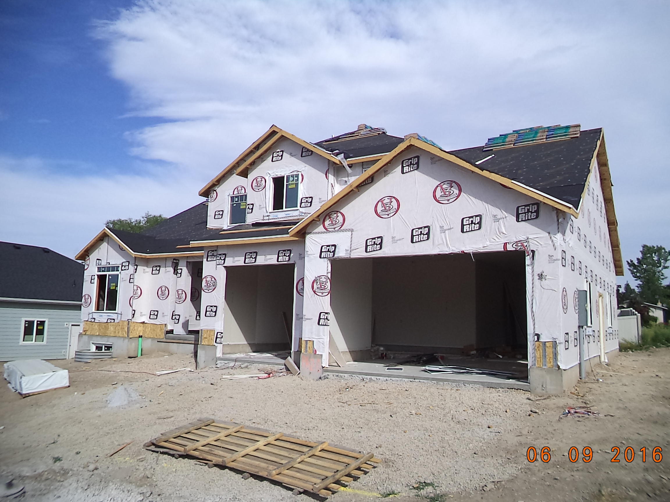
Total Photos: 2
|
| |
|
|
| Property Address: 753 E 760 SOUTH - PLEASANT GROVE |
|
| Mailing Address: 753 E 760 S PLEASANT GROVE, UT 84062 |
|
| Acreage: 0.207022 |
|
| Last Document:
53088-2017
|
|
| Subdivision Map Filing |
|
| Taxing Description:
LOT 20, PLAT C, PALISADES SUB AREA 0.207 AC.
*Taxing description NOT FOR LEGAL DOCUMENTS
|
|
- Owner Names
- Value History
- Tax History
- Location
- Photos
- Documents
- Aerial Image
| |
----- Real Estate Values ----- |
---Improvements--- |
---Greenbelt--- |
Total |
| Year |
Com |
Res |
Agr |
Tot |
Com |
Res |
Agr |
Tot |
Land |
Homesite |
Tot |
Market Value |
| 2024 |
$0 |
$274,800 |
$0 |
$274,800 |
$0 |
$522,500 |
$0 |
$522,500 |
$0 |
$0 |
$0 |
$797,300 |
| 2023 |
$0 |
$249,800 |
$0 |
$249,800 |
$0 |
$543,200 |
$0 |
$543,200 |
$0 |
$0 |
$0 |
$793,000 |
| 2022 |
$0 |
$262,700 |
$0 |
$262,700 |
$0 |
$514,600 |
$0 |
$514,600 |
$0 |
$0 |
$0 |
$777,300 |
| 2021 |
$0 |
$164,200 |
$0 |
$164,200 |
$0 |
$418,400 |
$0 |
$418,400 |
$0 |
$0 |
$0 |
$582,600 |
| 2020 |
$0 |
$152,000 |
$0 |
$152,000 |
$0 |
$402,300 |
$0 |
$402,300 |
$0 |
$0 |
$0 |
$554,300 |
| 2019 |
$0 |
$145,000 |
$0 |
$145,000 |
$0 |
$370,800 |
$0 |
$370,800 |
$0 |
$0 |
$0 |
$515,800 |
| 2018 |
$0 |
$130,800 |
$0 |
$130,800 |
$0 |
$328,400 |
$0 |
$328,400 |
$0 |
$0 |
$0 |
$459,200 |
| 2017 |
$0 |
$130,800 |
$0 |
$130,800 |
$0 |
$247,400 |
$0 |
$247,400 |
$0 |
$0 |
$0 |
$378,200 |
| 2016 |
$0 |
$106,100 |
$0 |
$106,100 |
$0 |
$0 |
$0 |
$0 |
$0 |
$0 |
$0 |
$106,100 |
| Year |
General Taxes |
Adjustments |
Net Taxes |
Fees |
Payments |
Tax Balance* |
Balance Due |
Tax District |
| 2025 |
$0.00 |
$0.00 |
$0.00 |
$0.00 |
|
$0.00
|
$0.00 |
070 - PLEASANT GROVE CITY |
| 2024 |
$0.00 |
$0.00 |
$0.00 |
$0.00 |
|
($82.87)
|
($82.87) |
070 - PLEASANT GROVE CITY |
| 2023 |
$3,569.89 |
($82.87) |
$3,487.02 |
$0.00 |
|
$0.00
|
$0.00 |
070 - PLEASANT GROVE CITY |
| 2022 |
$3,516.74 |
$0.00 |
$3,516.74 |
$0.00 |
|
$0.00
|
$0.00 |
070 - PLEASANT GROVE CITY |
| 2021 |
$3,147.58 |
$0.00 |
$3,147.58 |
$0.00 |
|
$0.00
|
$0.00 |
070 - PLEASANT GROVE CITY |
| 2020 |
$5,554.09 |
$0.00 |
$5,554.09 |
$0.00 |
|
$0.00
|
$0.00 |
070 - PLEASANT GROVE CITY |
| 2019 |
$2,748.67 |
$0.00 |
$2,748.67 |
$0.00 |
|
$0.00
|
$0.00 |
070 - PLEASANT GROVE CITY |
| 2018 |
$2,587.98 |
$0.00 |
$2,587.98 |
$0.00 |
|
$0.00
|
$0.00 |
070 - PLEASANT GROVE CITY |
| 2017 |
$2,201.99 |
$0.00 |
$2,201.99 |
$0.00 |
|
$0.00
|
$0.00 |
070 - PLEASANT GROVE CITY |
| 2016 |
$1,163.39 |
$0.00 |
$1,163.39 |
$0.00 |
|
$0.00
|
$0.00 |
070 - PLEASANT GROVE CITY |
* Note: Original tax amount (Does not include applicable interest and/or fees).
| Entry # |
Date |
Recorded |
Type |
Party1 (Grantor) |
Party2 (Grantee) |
| 208755-2021 |
12/16/2021 |
12/17/2021 |
SP WD |
SMITH, BOYD CHARLES & JILL JOHNSON TEE (ET AL) |
SMITH, ROGER P & JESSIE T TEE (ET AL) |
| 117724-2021 |
06/29/2021 |
07/01/2021 |
SP WD |
SMITH, BOYD CHARLES & JILL JOHNSON TEE (ET AL) |
SMITH, ROGER P & JESSIE T TEE (ET AL) |
| 70742-2017 |
07/10/2017 |
07/25/2017 |
REC |
CENTRAL BANK TEE |
PEAK HOMES LLC |
| 53088-2017 |
05/31/2017 |
06/01/2017 |
WD |
PEAK HOMES LLC |
SMITH, BOYD CHARLES & JILL JOHNSON TEE (ET AL) |
| 122652-2016 |
10/27/2016 |
12/06/2016 |
REC |
ROCK CANYON BANK TEE |
MLL PROPERTIES LLC |
| 5690-2016 |
01/19/2016 |
01/21/2016 |
D TR |
PEAK HOMES LLC |
CENTRAL BANK |
| 5677-2016 |
01/20/2016 |
01/21/2016 |
WD |
MLL PROPERTIES LLC |
PEAK HOMES LLC |
| 50010-2015 |
07/01/2014 |
06/09/2015 |
S PLAT |
MILL PROPERTIES LLC (ET AL) |
PALISADES PLAT C |
Main Menu Comments or Concerns on Value/Appraisal - Assessor's Office
Documents/Owner/Parcel information - Recorder's Office
Address Change for Tax Notice
This page was created on 7/24/2024 6:25:20 AM |