Property Information
mobile view
| Serial Number: 49:832:0023 |
Serial Life: 2017... |
|
|
 Total Photos: 2
|
| |
|
|
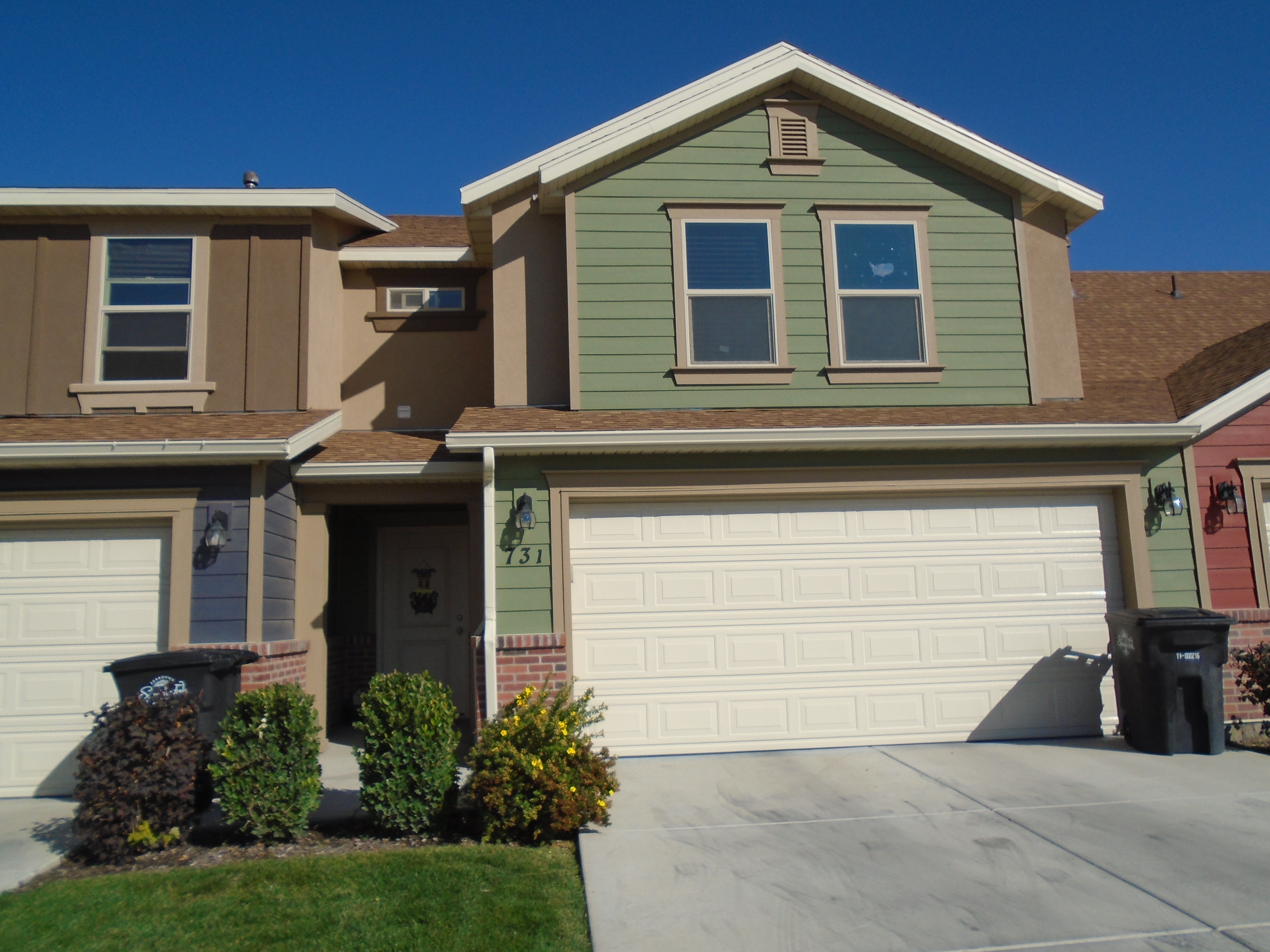
| Property Address: 731 S 220 WEST - SPANISH FORK |
|
| Mailing Address: 731 S 220 W SPANISH FORK, UT 84660 |
|
| Acreage: 0.025674 |
|
| Last Document:
19193-2018
|
|
| Subdivision Map Filing |
|
| Taxing Description:
LOT 23, PARKVIEW TOWNHOMES PHASE 2 SUB AREA 0.026 AC.
*Taxing description NOT FOR LEGAL DOCUMENTS
|
|
- Owner Names
- Value History
- Tax History
- Location
- Photos
- Documents
- Aerial Image
| |
----- Real Estate Values ----- |
---Improvements--- |
---Greenbelt--- |
Total |
| Year |
Com |
Res |
Agr |
Tot |
Com |
Res |
Agr |
Tot |
Land |
Homesite |
Tot |
Market Value |
| 2024 |
$0 |
$54,200 |
$0 |
$54,200 |
$0 |
$314,400 |
$0 |
$314,400 |
$0 |
$0 |
$0 |
$368,600 |
| 2023 |
$0 |
$53,300 |
$0 |
$53,300 |
$0 |
$309,500 |
$0 |
$309,500 |
$0 |
$0 |
$0 |
$362,800 |
| 2022 |
$0 |
$55,900 |
$0 |
$55,900 |
$0 |
$316,700 |
$0 |
$316,700 |
$0 |
$0 |
$0 |
$372,600 |
| 2021 |
$0 |
$42,000 |
$0 |
$42,000 |
$0 |
$238,100 |
$0 |
$238,100 |
$0 |
$0 |
$0 |
$280,100 |
| 2020 |
$0 |
$40,200 |
$0 |
$40,200 |
$0 |
$213,800 |
$0 |
$213,800 |
$0 |
$0 |
$0 |
$254,000 |
| 2019 |
$0 |
$31,500 |
$0 |
$31,500 |
$0 |
$210,500 |
$0 |
$210,500 |
$0 |
$0 |
$0 |
$242,000 |
| 2018 |
$0 |
$26,000 |
$0 |
$26,000 |
$0 |
$190,000 |
$0 |
$190,000 |
$0 |
$0 |
$0 |
$216,000 |
| 2017 |
$0 |
$21,000 |
$0 |
$21,000 |
$0 |
$0 |
$0 |
$0 |
$0 |
$0 |
$0 |
$21,000 |
| Year |
General Taxes |
Adjustments |
Net Taxes |
Fees |
Payments |
Tax Balance* |
Balance Due |
Tax District |
| 2025 |
$0.00 |
$0.00 |
$0.00 |
$0.00 |
|
$0.00
|
$0.00 |
150 - SPANISH FORK CITY |
| 2024 |
$0.00 |
$0.00 |
$0.00 |
$0.00 |
|
$0.00
|
$0.00 |
150 - SPANISH FORK CITY |
| 2023 |
$1,933.74 |
$0.00 |
$1,933.74 |
$0.00 |
|
$0.00
|
$0.00 |
150 - SPANISH FORK CITY |
| 2022 |
$2,024.91 |
$0.00 |
$2,024.91 |
$0.00 |
|
$0.00
|
$0.00 |
150 - SPANISH FORK CITY |
| 2021 |
$1,730.04 |
$0.00 |
$1,730.04 |
$0.00 |
|
$0.00
|
$0.00 |
150 - SPANISH FORK CITY |
| 2020 |
$1,613.67 |
$0.00 |
$1,613.67 |
$0.00 |
|
$0.00
|
$0.00 |
150 - SPANISH FORK CITY |
| 2019 |
$1,461.30 |
$0.00 |
$1,461.30 |
$0.00 |
|
$0.00
|
$0.00 |
150 - SPANISH FORK CITY |
| 2018 |
$1,349.33 |
$0.00 |
$1,349.33 |
$0.00 |
|
$0.00
|
$0.00 |
150 - SPANISH FORK CITY |
| 2017 |
$244.06 |
$0.00 |
$244.06 |
$0.00 |
|
$0.00
|
$0.00 |
150 - SPANISH FORK CITY |
* Note: Original tax amount (Does not include applicable interest and/or fees).
| Entry # |
Date |
Recorded |
Type |
Party1 (Grantor) |
Party2 (Grantee) |
| 62937-2018 |
06/26/2018 |
07/05/2018 |
REC |
COTTONWOOD TITLE INSURANCE AGENCY INC TEE |
SALISBURY DEVELOPERS INC |
| 19193-2018 |
01/25/2018 |
02/28/2018 |
WD |
SHAKESPEAR, CHRISTINA |
SHAKESPEAR, CHRISTINA TEE (ET AL) |
| 127991-2017 |
12/26/2017 |
12/26/2017 |
REC |
COTTONWOOD TITLE INSURANCE AGENCY INC TEE |
SALISBURY DEVELOPERS INC |
| 127990-2017 |
11/16/2017 |
12/26/2017 |
SUB TEE |
M & T BANK |
COTTONWOOD TITLE INSURANCE AGENCY INC SUCTEE |
| 101787-2017 |
10/09/2017 |
10/16/2017 |
P REC |
COTTONWOOD TITLE INSURANCE AGENCY INC TEE |
SALISBURY DEVELOPERS INC |
| 101780-2017 |
09/06/2017 |
10/16/2017 |
SUB TEE |
M&T BANK |
COTTONWOOD TITLE INSURANCE AGENCY INC SUCTEE |
| 62845-2017 |
06/28/2017 |
06/29/2017 |
D TR |
SHAKESPEAR, CHRISTINA |
ACADEMY MORTGAGE CORPORATION |
| 62844-2017 |
06/22/2017 |
06/29/2017 |
WD |
SALISBURY DEVELOPERS INC |
SHAKESPEAR, CHRISTINA |
| 50623-2017 |
05/24/2017 |
05/26/2017 |
REC |
COTTONWOOD TITLE INSURANCE AGENCY INC TEE |
SALISBURY DEVELOPERS INC |
| 50622-2017 |
05/02/2017 |
05/26/2017 |
SUB TEE |
M & T BANK |
COTTONWOOD TITLE INSURANCE AGENCY INC SUCTEE |
| 48032-2017 |
03/27/2017 |
05/18/2017 |
REC |
GT TITLE SERVICES INC TEE |
SALISBURY DEVELOPERS INC |
| 21568-2017 |
02/28/2017 |
03/03/2017 |
D TR |
SALISBURY DEVELOPERS INC |
M & T BANK |
| 131104-2016 |
12/27/2016 |
12/29/2016 |
DECLCOV |
SALISBURY DEVELOPERS INC |
WHOM OF INTEREST |
| 121275-2016 |
07/06/2016 |
12/02/2016 |
S PLAT |
SALISBURY DEVELOPERS INC |
PARKVIEW TOWNHOMES PHASE 2 |
Main Menu Comments or Concerns on Value/Appraisal - Assessor's Office
Documents/Owner/Parcel information - Recorder's Office
Address Change for Tax Notice
This page was created on 8/19/2024 5:44:43 AM |
