Property Information
mobile view
| Serial Number: 52:509:0078 |
Serial Life: 1995 |
|
|
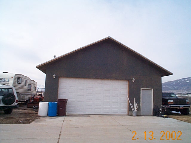 Total Photos: 1
|
| |
|
|
| Property Address: |
|
| Mailing Address: 1819 E WHISPERWOOD CIR SANDY, UT 84092-3073 |
|
| Acreage: 0.237 |
|
| Last Document:
19411-1995
|
|
| Subdivision Map Filing |
|
| Taxing Description:
LOT 78, PLAT D, SUMMER CREST SUBDV. AREA 0.237 AC.
*Taxing description NOT FOR LEGAL DOCUMENTS
|
|
- Owner Names
- Value History
- Tax History
- Location
- Photos
- Documents
- Aerial Image
Main Menu Comments or Concerns on Value/Appraisal - Assessor's Office
Documents/Owner/Parcel information - Recorder's Office
Address Change for Tax Notice
This page was created on 12/2/2024 5:35:15 PM |