Property Information
mobile view
| Serial Number: 54:195:0142 |
Serial Life: 2024... |
|
|
 Total Photos: 1
|
| |
|
|
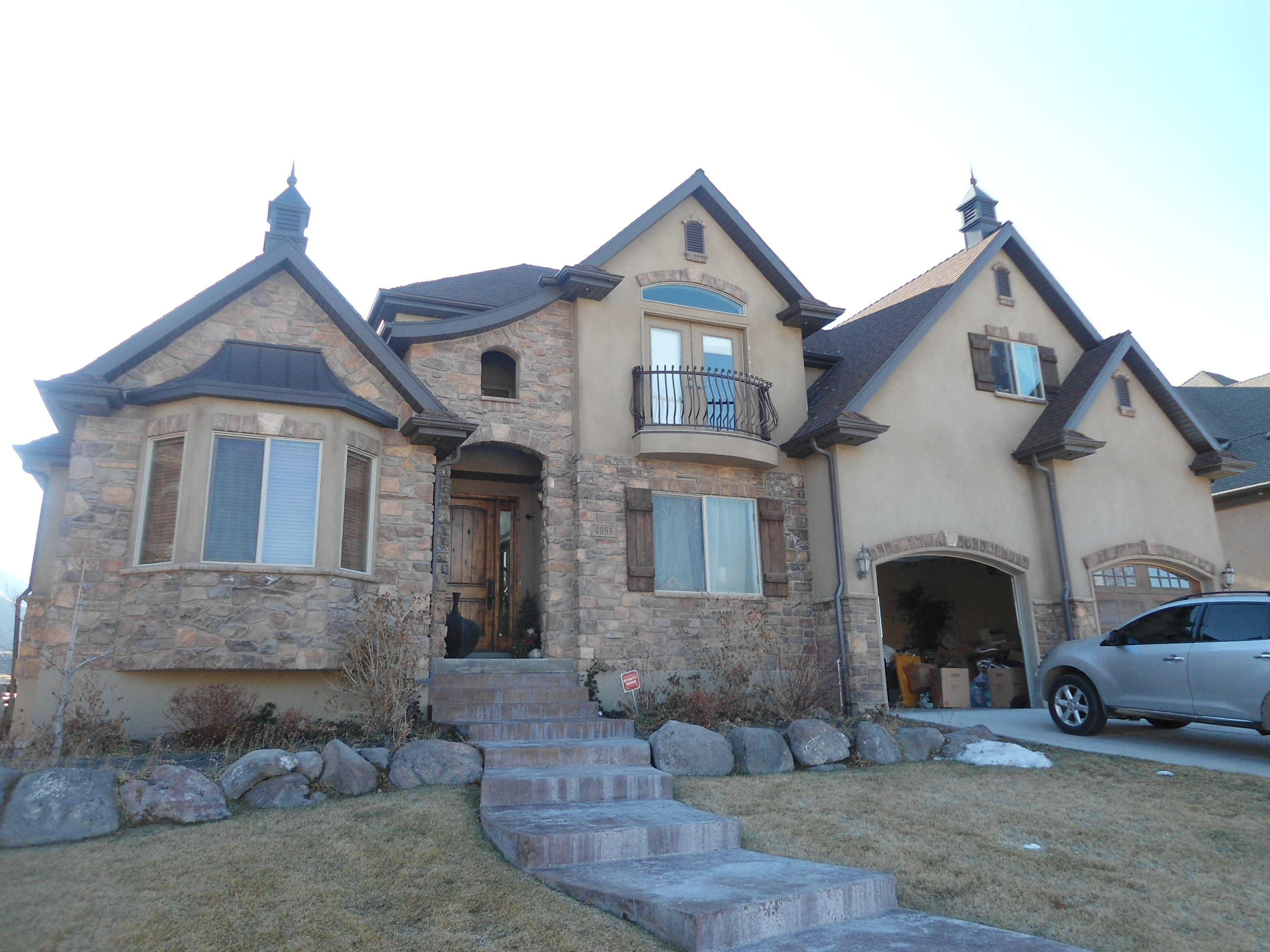
| Property Address: 4055 W PARK CIR - HIGHLAND |
|
| Mailing Address: 4055 W PARK CIR HIGHLAND, UT 84003-9619 |
|
| Acreage: 0.361437 |
|
| Last Document:
60612-2023
|
|
| Subdivision Map Filing |
|
| Taxing Description:
LOT 103, VIEW POINTE PHASE 1 SUBDV. AREA 0.200 AC. ALSO PART LOT B, PUBLIC PARK AND OPEN SPACE, VIEW POINTE PHASE 1 SUB, DESCRIBED AS FOLLOWS; COM FR SE COR. LOT 103, SEC. 30, T4S, R2E, SLB&M.; S 33 DEG 44' 11" E 93.36 FT; ALONG A CURVE TO R (CHORD BEARS: S 72 DEG 8' 37" W 56.84 FT, RADIUS = 290.02 FT); ALONG A CURVE TO R (CHORD BEARS: S 78 DEG 34' 58" W 34.95 FT, RADIUS = 1227.57 FT); N 33 DEG 44' 11" W 64.54 FT; N 56 DEG 15' 49" E 87 FT TO BEG. AREA 0.161 AC. TOTAL AREA .361 AC.
*Taxing description NOT FOR LEGAL DOCUMENTS
|
|
- Owner Names
- Value History
- Tax History
- Location
- Photos
- Documents
- Aerial Image
Main Menu Comments or Concerns on Value/Appraisal - Assessor's Office
Documents/Owner/Parcel information - Recorder's Office
Address Change for Tax Notice
This page was created on 9/27/2024 9:26:22 AM |