Property Information
mobile view
| Serial Number: 55:430:0018 |
Serial Life: 1999-2017 |
|
|
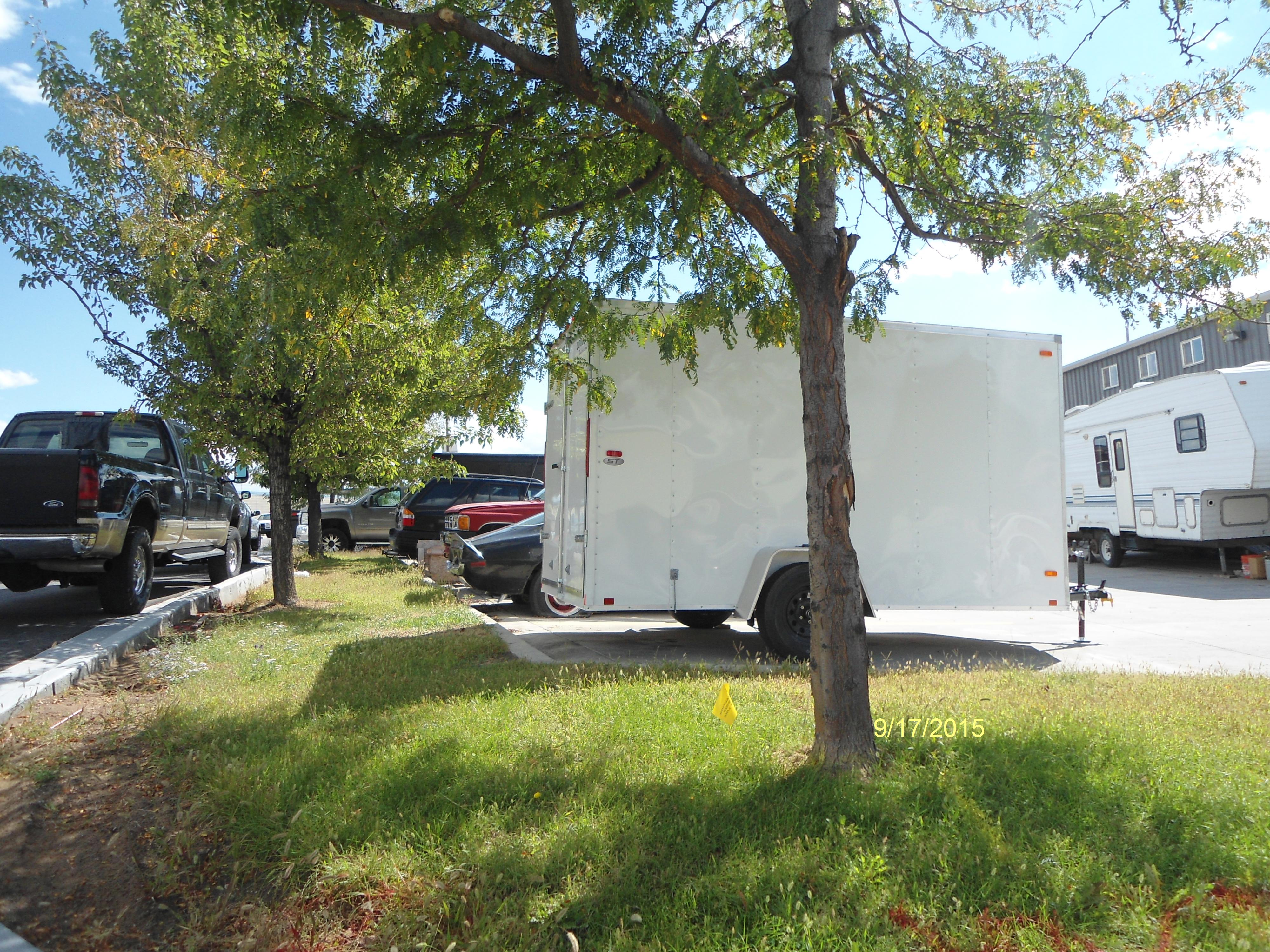
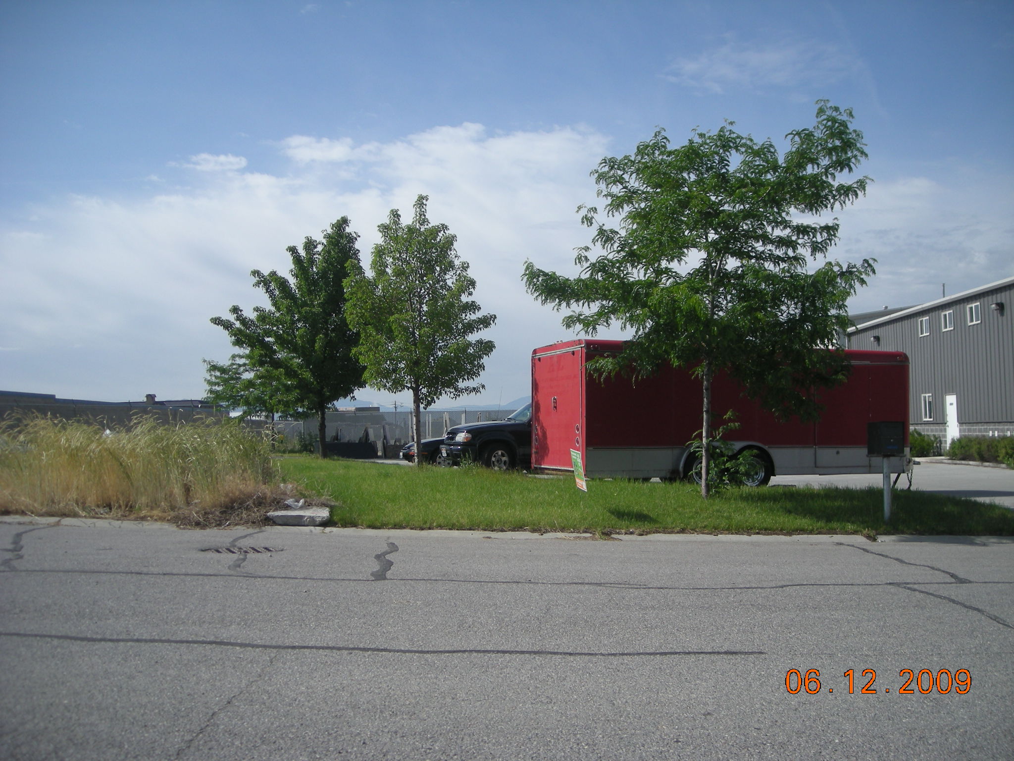
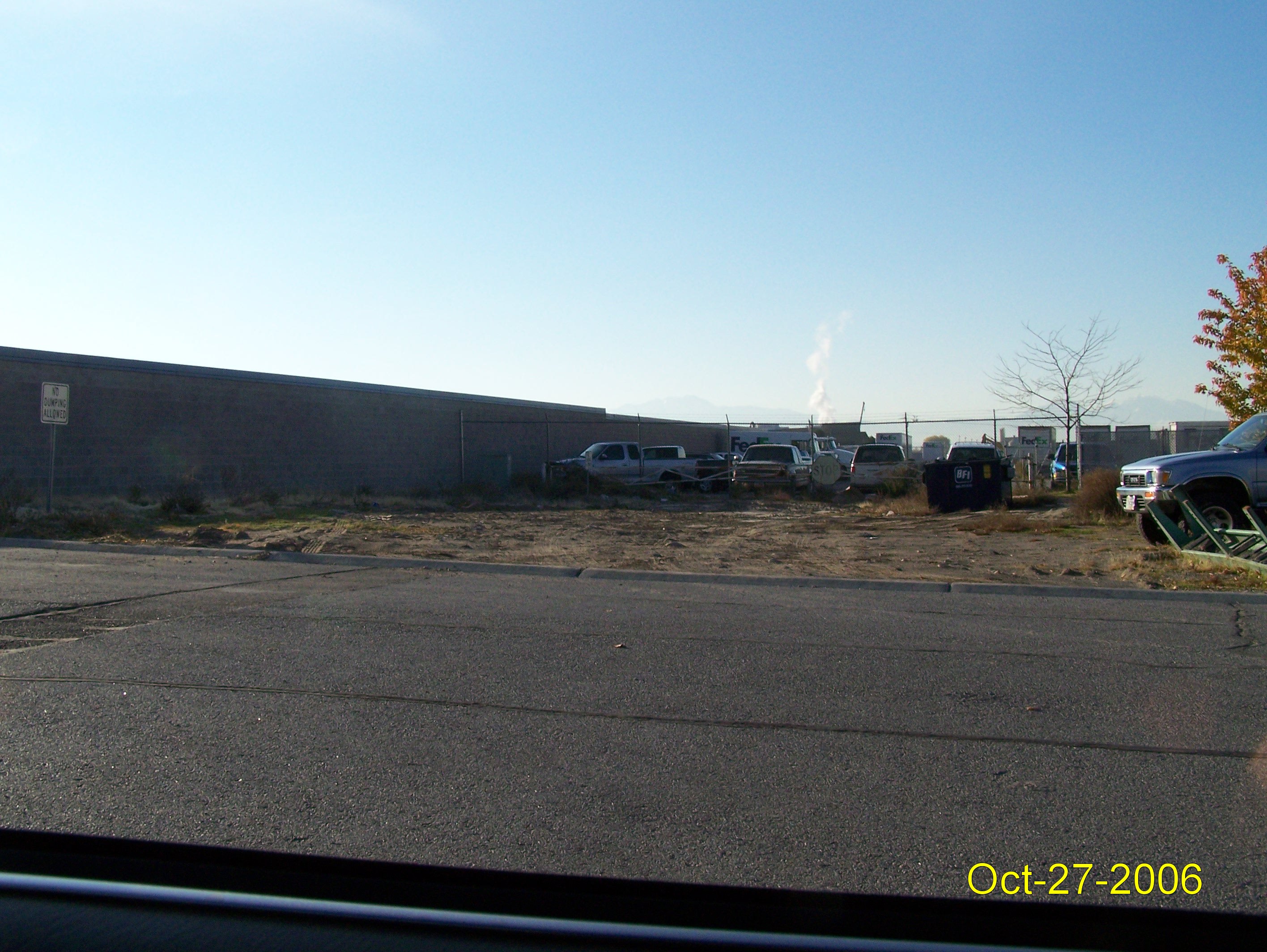
Total Photos: 3
|
| |
|
|
| Property Address: 1521 W 960 NORTH - OREM |
|
| Mailing Address: 279 E 4960 N PROVO, UT 84604-5418 |
|
| Acreage: 0.094 |
|
| Last Document:
73693-1998
|
|
| Subdivision Map Filing |
|
| Taxing Description:
PT. LOT 17, PLAT "C, WEST BANK INDUSTRIAL PARK SUB ALSO DESCRIBED AS FOLLOWS; COM N 1040.7 FT & E 539.07 FT FR W 1/4 COR. OF SEC. 9, T6S, R2E, SLB&M.; N 89 DEG 9' 53" E 10.5 FT; ALONG A CURVE TO R (CHORD BEARS: S 50 DEG 51' 54" E 12.84 FT, RADIUS = 10 FT) ARC LENGTH = 13.94 FEET; ALONG A CURVE TO L (CHORD BEARS: S 21 DEG 31' 16" E 63.73 FT, RADIUS = 175 FT) ARC LENGTH = 64.09 FEET; ALONG A CURVE TO R (CHORD BEARS: S 21 DEG 24' 3" E 45.01 FT, RADIUS = 125 FT) ARC LENGTH = 45.25 FEET; S 89 DEG 9' 53" W 58.66 FT; N 0 DEG 50' 7" W 110.02 FT TO BEG. AREA 0.094 AC.
*Taxing description NOT FOR LEGAL DOCUMENTS
|
|
- Owner Names
- Value History
- Tax History
- Location
- Photos
- Documents
- Aerial Image
| |
----- Real Estate Values ----- |
---Improvements--- |
---Greenbelt--- |
Total |
| Year |
Com |
Res |
Agr |
Tot |
Com |
Res |
Agr |
Tot |
Land |
Homesite |
Tot |
Market Value |
| 2017 |
$25,600 |
$0 |
$0 |
$25,600 |
$5,700 |
$0 |
$0 |
$5,700 |
$0 |
$0 |
$0 |
$31,300 |
| 2016 |
$24,400 |
$0 |
$0 |
$24,400 |
$5,700 |
$0 |
$0 |
$5,700 |
$0 |
$0 |
$0 |
$30,100 |
| 2015 |
$20,400 |
$0 |
$0 |
$20,400 |
$2,700 |
$0 |
$0 |
$2,700 |
$0 |
$0 |
$0 |
$23,100 |
| 2014 |
$20,400 |
$0 |
$0 |
$20,400 |
$2,700 |
$0 |
$0 |
$2,700 |
$0 |
$0 |
$0 |
$23,100 |
| 2013 |
$18,500 |
$0 |
$0 |
$18,500 |
$2,700 |
$0 |
$0 |
$2,700 |
$0 |
$0 |
$0 |
$21,200 |
| 2012 |
$18,500 |
$0 |
$0 |
$18,500 |
$2,700 |
$0 |
$0 |
$2,700 |
$0 |
$0 |
$0 |
$21,200 |
| 2011 |
$18,500 |
$0 |
$0 |
$18,500 |
$2,700 |
$0 |
$0 |
$2,700 |
$0 |
$0 |
$0 |
$21,200 |
| 2010 |
$20,124 |
$0 |
$0 |
$20,124 |
$2,819 |
$0 |
$0 |
$2,819 |
$0 |
$0 |
$0 |
$22,943 |
| 2009 |
$0 |
$14,400 |
$0 |
$14,400 |
$0 |
$0 |
$0 |
$0 |
$0 |
$0 |
$0 |
$14,400 |
| 2008 |
$0 |
$0 |
$15,000 |
$15,000 |
$0 |
$0 |
$0 |
$0 |
$0 |
$0 |
$0 |
$15,000 |
| 2007 |
$0 |
$0 |
$15,000 |
$15,000 |
$0 |
$0 |
$0 |
$0 |
$0 |
$0 |
$0 |
$15,000 |
| 2006 |
$0 |
$0 |
$12,504 |
$12,504 |
$0 |
$0 |
$0 |
$0 |
$0 |
$0 |
$0 |
$12,504 |
| 2005 |
$0 |
$0 |
$12,504 |
$12,504 |
$0 |
$0 |
$0 |
$0 |
$0 |
$0 |
$0 |
$12,504 |
| 2004 |
$0 |
$0 |
$12,504 |
$12,504 |
$0 |
$0 |
$0 |
$0 |
$0 |
$0 |
$0 |
$12,504 |
| 2003 |
$0 |
$0 |
$12,504 |
$12,504 |
$0 |
$0 |
$0 |
$0 |
$0 |
$0 |
$0 |
$12,504 |
| 2002 |
$0 |
$0 |
$12,504 |
$12,504 |
$0 |
$0 |
$0 |
$0 |
$0 |
$0 |
$0 |
$12,504 |
| 2001 |
$0 |
$0 |
$12,504 |
$12,504 |
$0 |
$0 |
$0 |
$0 |
$0 |
$0 |
$0 |
$12,504 |
| 2000 |
$0 |
$0 |
$11,686 |
$11,686 |
$0 |
$0 |
$0 |
$0 |
$0 |
$0 |
$0 |
$11,686 |
| 1999 |
$0 |
$0 |
$11,686 |
$11,686 |
$0 |
$0 |
$0 |
$0 |
$0 |
$0 |
$0 |
$11,686 |
| Year |
General Taxes |
Adjustments |
Net Taxes |
Fees |
Payments |
Tax Balance* |
Balance Due |
Tax District |
| 2017 |
$310.28 |
$0.00 |
$310.28 |
$0.00 |
|
$0.00
|
$0.00 |
090 - OREM CITY |
| 2016 |
$323.58 |
$0.00 |
$323.58 |
$0.00 |
|
$0.00
|
$0.00 |
090 - OREM CITY |
| 2015 |
$262.58 |
$0.00 |
$262.58 |
$0.00 |
|
$0.00
|
$0.00 |
090 - OREM CITY |
| 2014 |
$263.78 |
$0.00 |
$263.78 |
$0.00 |
|
$0.00
|
$0.00 |
090 - OREM CITY |
| 2013 |
$261.06 |
$0.00 |
$261.06 |
$0.00 |
|
$0.00
|
$0.00 |
090 - OREM CITY |
| 2012 |
$266.44 |
$0.00 |
$266.44 |
$0.00 |
|
$0.00
|
$0.00 |
090 - OREM CITY |
| 2011 |
$265.17 |
$0.00 |
$265.17 |
$0.00 |
|
$0.00
|
$0.00 |
090 - OREM CITY |
| 2010 |
$268.66 |
$0.00 |
$268.66 |
$0.00 |
|
$0.00
|
$0.00 |
090 - OREM CITY |
| 2009 |
$156.31 |
$0.00 |
$156.31 |
$0.00 |
|
$0.00
|
$0.00 |
090 - OREM CITY |
| 2008 |
$150.89 |
$0.00 |
$150.89 |
$0.00 |
|
$0.00
|
$0.00 |
090 - OREM CITY |
| 2007 |
$149.16 |
$0.00 |
$149.16 |
$0.00 |
|
$0.00
|
$0.00 |
090 - OREM CITY |
| 2006 |
$132.40 |
$0.00 |
$132.40 |
$0.00 |
|
$0.00
|
$0.00 |
090 - OREM CITY |
| 2005 |
$149.45 |
$0.00 |
$149.45 |
$0.00 |
|
$0.00
|
$0.00 |
090 - OREM CITY |
| 2004 |
$146.80 |
$0.00 |
$146.80 |
$0.00 |
|
$0.00
|
$0.00 |
090 - OREM CITY |
| 2003 |
$142.45 |
$0.00 |
$142.45 |
$0.00 |
|
$0.00
|
$0.00 |
090 - OREM CITY |
| 2002 |
$130.18 |
$0.00 |
$130.18 |
$0.00 |
|
$0.00
|
$0.00 |
090 - OREM CITY |
| 2001 |
$128.93 |
$0.00 |
$128.93 |
$0.00 |
|
$0.00
|
$0.00 |
090 - OREM CITY |
| 2000 |
$124.58 |
$0.00 |
$124.58 |
$0.00 |
|
$0.00
|
$0.00 |
090 - OREM CITY |
| 1999 |
$128.27 |
$0.00 |
$128.27 |
$0.00 |
|
$0.00
|
$0.00 |
090 - OREM CITY |
* Note: Original tax amount (Does not include applicable interest and/or fees).
| Entry # |
Date |
Recorded |
Type |
Party1 (Grantor) |
Party2 (Grantee) |
| 113493-2017 |
11/16/2017 |
11/16/2017 |
N SPREC |
UTAH COUNTY RECORDER |
WHOM OF INTEREST |
| 1340-2013 |
12/26/2012 |
01/04/2013 |
QCD |
FIFTEEN FIFTY ASSOCIATES LLC |
DARAIS, CHRISTOPHER & MARCUS A |
| 73693-1998 |
07/08/1998 |
07/27/1998 |
S PLAT |
DARAIS, CHRISTOPHER B & CHRISTOPHER AKA (ET AL) |
WEST BANK INDUSTRIAL PARK PLAT C |
Main Menu Comments or Concerns on Value/Appraisal - Assessor's Office
Documents/Owner/Parcel information - Recorder's Office
Address Change for Tax Notice
This page was created on 8/9/2024 3:01:38 PM |