Property Information
mobile view
| Serial Number: 55:817:0077 |
Serial Life: 2017... |
|
|

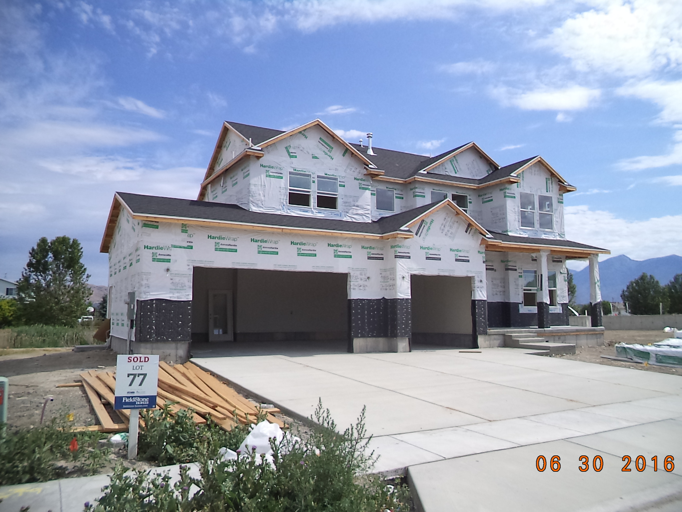
Total Photos: 2
|
| |
|
|
| Property Address: 2506 W 275 NORTH - LEHI |
|
| Mailing Address: 2506 W 275 N LEHI, UT 84043 |
|
| Acreage: 0.241718 |
|
| Last Document:
21335-2016
|
|
| Subdivision Map Filing |
|
| Taxing Description:
LOT 77, PLAT C, WILLOW PARK RIVER SUB AREA 0.242 AC.
*Taxing description NOT FOR LEGAL DOCUMENTS
|
|
- Owner Names
- Value History
- Tax History
- Location
- Photos
- Documents
- Aerial Image
| |
----- Real Estate Values ----- |
---Improvements--- |
---Greenbelt--- |
Total |
| Year |
Com |
Res |
Agr |
Tot |
Com |
Res |
Agr |
Tot |
Land |
Homesite |
Tot |
Market Value |
| 2024 |
$0 |
$256,800 |
$0 |
$256,800 |
$0 |
$393,600 |
$0 |
$393,600 |
$0 |
$0 |
$0 |
$650,400 |
| 2023 |
$0 |
$249,300 |
$0 |
$249,300 |
$0 |
$405,900 |
$0 |
$405,900 |
$0 |
$0 |
$0 |
$655,200 |
| 2022 |
$0 |
$254,400 |
$0 |
$254,400 |
$0 |
$420,000 |
$0 |
$420,000 |
$0 |
$0 |
$0 |
$674,400 |
| 2021 |
$0 |
$159,000 |
$0 |
$159,000 |
$0 |
$342,300 |
$0 |
$342,300 |
$0 |
$0 |
$0 |
$501,300 |
| 2020 |
$0 |
$147,200 |
$0 |
$147,200 |
$0 |
$319,900 |
$0 |
$319,900 |
$0 |
$0 |
$0 |
$467,100 |
| 2019 |
$0 |
$147,200 |
$0 |
$147,200 |
$0 |
$278,200 |
$0 |
$278,200 |
$0 |
$0 |
$0 |
$425,400 |
| 2018 |
$0 |
$126,200 |
$0 |
$126,200 |
$0 |
$241,900 |
$0 |
$241,900 |
$0 |
$0 |
$0 |
$368,100 |
| 2017 |
$0 |
$119,200 |
$0 |
$119,200 |
$0 |
$211,500 |
$0 |
$211,500 |
$0 |
$0 |
$0 |
$330,700 |
| Year |
General Taxes |
Adjustments |
Net Taxes |
Fees |
Payments |
Tax Balance* |
Balance Due |
Tax District |
| 2025 |
$0.00 |
$0.00 |
$0.00 |
$0.00 |
|
$0.00
|
$0.00 |
010 - LEHI CITY |
| 2024 |
$0.00 |
$0.00 |
$0.00 |
$0.00 |
|
$0.00
|
$0.00 |
010 - LEHI CITY |
| 2023 |
$2,836.03 |
$0.00 |
$2,836.03 |
$0.00 |
|
$0.00
|
$0.00 |
010 - LEHI CITY |
| 2022 |
$3,011.13 |
$0.00 |
$3,011.13 |
$0.00 |
|
$0.00
|
$0.00 |
010 - LEHI CITY |
| 2021 |
$2,691.81 |
$0.00 |
$2,691.81 |
$0.00 |
|
$0.00
|
$0.00 |
010 - LEHI CITY |
| 2020 |
$2,537.45 |
$0.00 |
$2,537.45 |
$0.00 |
|
$0.00
|
$0.00 |
010 - LEHI CITY |
| 2019 |
$2,222.95 |
$0.00 |
$2,222.95 |
$0.00 |
|
$0.00
|
$0.00 |
010 - LEHI CITY |
| 2018 |
$2,034.67 |
$0.00 |
$2,034.67 |
$0.00 |
|
$0.00
|
$0.00 |
010 - LEHI CITY |
| 2017 |
$1,891.06 |
$0.00 |
$1,891.06 |
$0.00 |
|
$0.00
|
$0.00 |
010 - LEHI CITY |
* Note: Original tax amount (Does not include applicable interest and/or fees).
| Entry # |
Date |
Recorded |
Type |
Party1 (Grantor) |
Party2 (Grantee) |
| 134149-2020 |
08/02/2020 |
09/03/2020 |
RSUBTEE |
MORTGAGE ELECTRONIC REGISTRATION SYSTEMS INC (ET AL) |
SCHNEIDER, KYLE S & KAM M |
| 115995-2020 |
08/03/2020 |
08/07/2020 |
D TR |
SCHNEIDER, KYLE S & KAM M |
PARKSIDE LENDING LLC |
| 86806-2016 |
09/07/2016 |
09/07/2016 |
RSUBTEE |
CENTRAL BANK (ET AL) |
WILLOW PARK DEVELOPMENT INC |
| 77895-2016 |
08/17/2016 |
08/17/2016 |
P REC |
ZB NA DBA (ET AL) |
FIELDSTONE UTAH INVESTORS LLC |
| 73880-2016 |
08/04/2016 |
08/05/2016 |
D TR |
SCHNEIDER, KYLE S & KAM M |
CITYWIDE HOME LOANS |
| 73879-2016 |
08/04/2016 |
08/05/2016 |
SP WD |
FIELDSTONE UTAH INVESTORS LLC |
SCHNEIDER, KYLE S & KAM M |
| 44350-2016 |
05/06/2016 |
05/19/2016 |
TR D |
FIELDSTONE UTAH INVESTORS LLC |
ZB N A DBA (ET AL) |
| 39506-2016 |
05/04/2016 |
05/05/2016 |
WD |
FIELDSTONE UTAH INVESTORS LLC ATA (ET AL) |
FIELDSTONE UTAH INVESTORS LLC |
| 34157-2016 |
04/19/2016 |
04/20/2016 |
WD |
WILLOW PARK DEVELOPMENT INC |
FIELDSTONE UTAH INVESTORS LLC |
| 28180-2016 |
04/01/2016 |
04/01/2016 |
R FARM |
UTAH COUNTY TREASURER |
R W DAVIS LIVESTOCK (ET AL) |
| 21335-2016 |
05/12/2015 |
03/14/2016 |
S PLAT |
WILLOW PARK DEVELOPMENT INC |
WILLOW PARK RIVER PLAT C |
Main Menu Comments or Concerns on Value/Appraisal - Assessor's Office
Documents/Owner/Parcel information - Recorder's Office
Address Change for Tax Notice
This page was created on 7/26/2024 3:46:04 PM |