Property Information
mobile view
| Serial Number: 55:877:0003 |
Serial Life: 2020... |
|
|
Total Photos: 12
|
| |
|
|
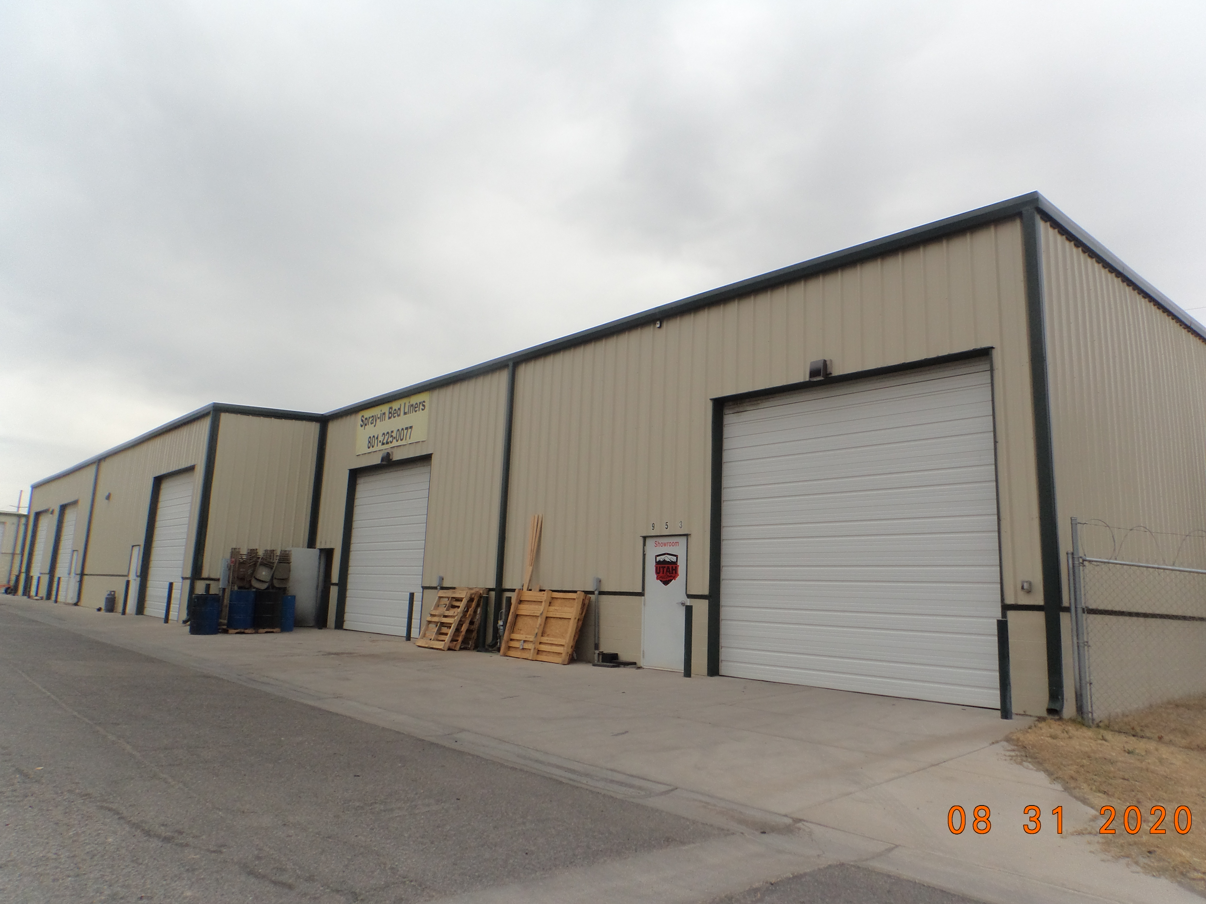
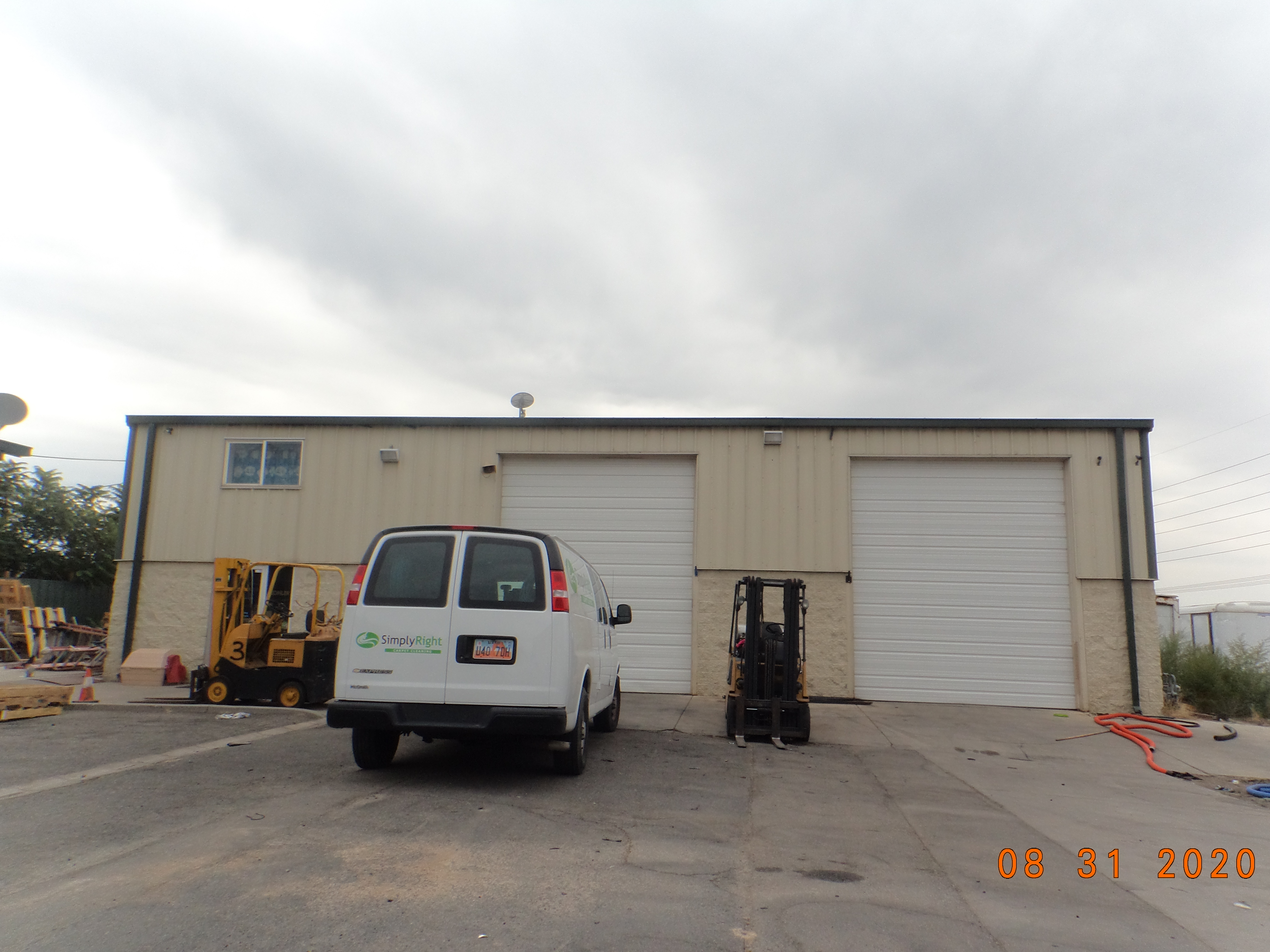
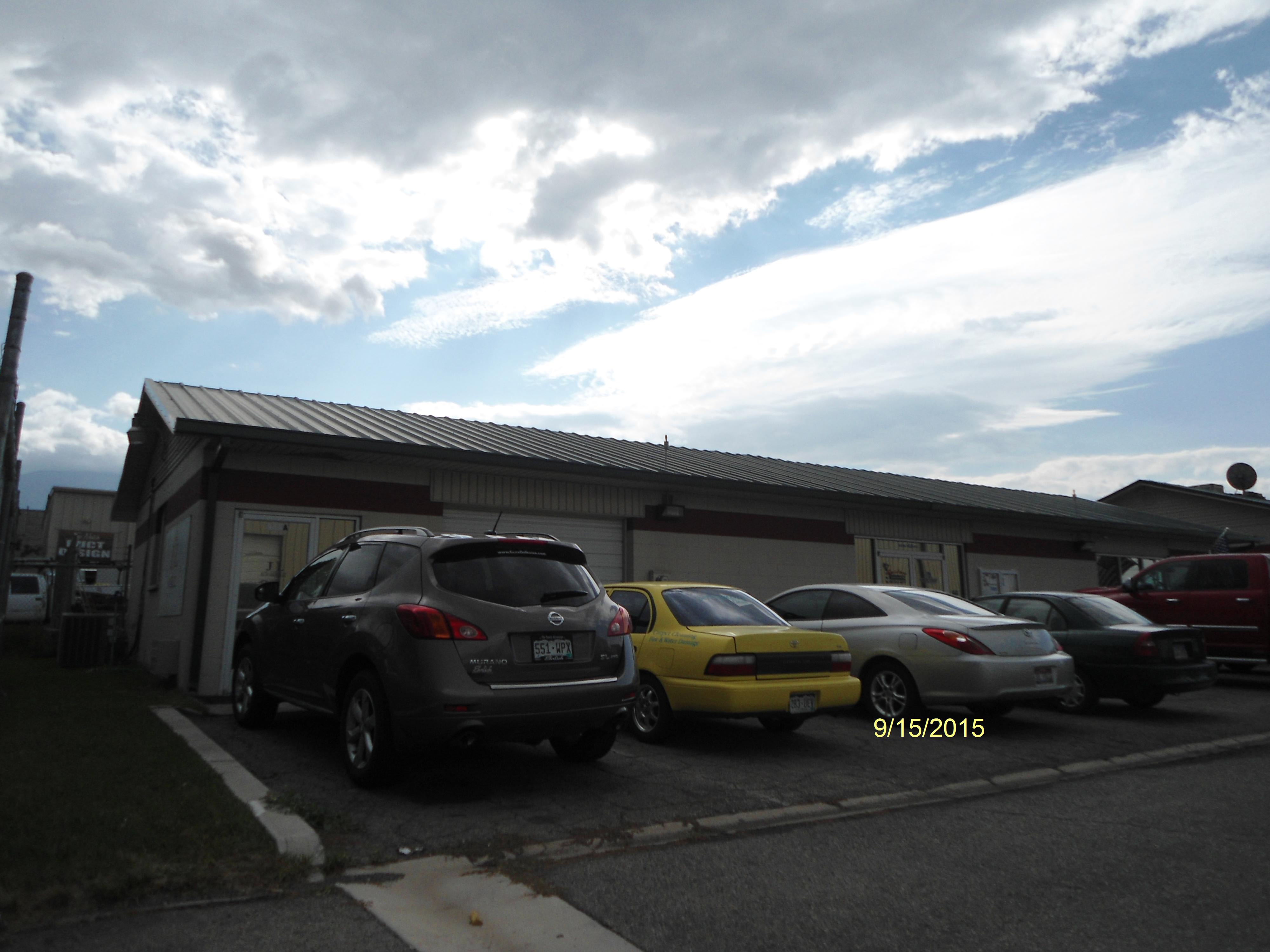
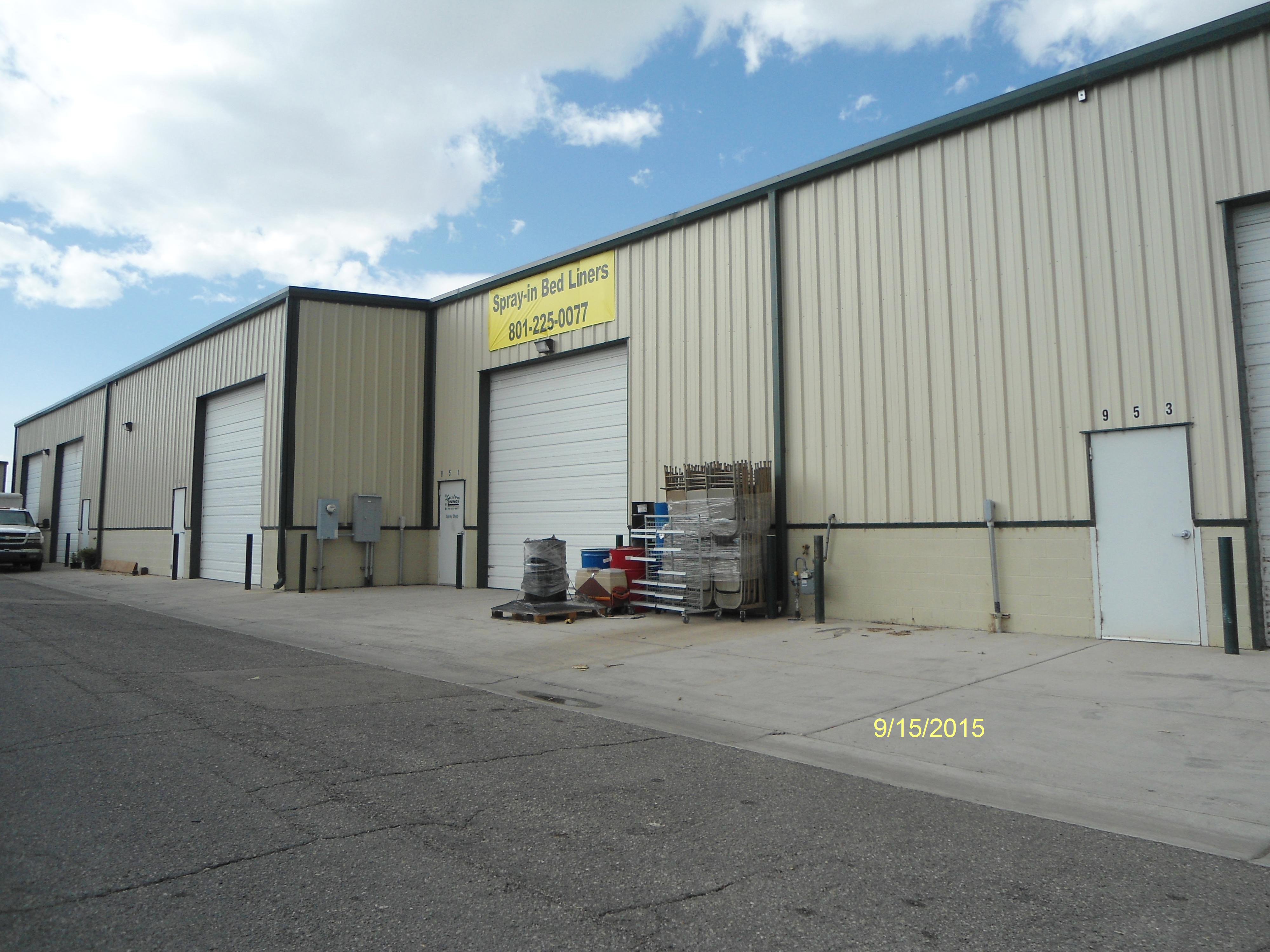
| Property Address: 947 N 1610 WEST - OREM
more see "Addrs" tab below..
|
|
| Mailing Address: 930 N 1610 W OREM, UT 84057 |
|
| Acreage: 0.974532 |
|
| Last Document:
1414-2019
|
|
| Subdivision Map Filing |
|
| Taxing Description:
PART LOT 2, PLAT H, WEST BANK INDUSTRIAL PARK SUB DESCRIBED AS FOLLOWS; COM N 734.92 FT & W 2.33 FT FR E 1/4 COR. SEC. 8, T6S, R2E, SLB&M.; S 88 DEG 42' 45" W 133.5 FT; N 1 DEG 10' 25" W 49.98 FT; S 88 DEG 42' 34" W 4.38 FT; N 26 DEG 9' 4" W 54.04 FT; N 82 DEG 19' 47" E 4.87 FT; N 1 DEG 17' 15" W 180.31 FT; N 88 DEG 42' 45" E 158.09 FT; S 0 DEG 47' 23" E 279.88 FT TO BEG. AREA 0.975 AC.
*Taxing description NOT FOR LEGAL DOCUMENTS
|
|
- Owner Names
- Value History
- Tax History
- Location
- Photos
- Documents
- Aerial Image
- Addrs
| |
----- Real Estate Values ----- |
---Improvements--- |
---Greenbelt--- |
Total |
| Year |
Com |
Res |
Agr |
Tot |
Com |
Res |
Agr |
Tot |
Land |
Homesite |
Tot |
Market Value |
| 2024 |
$549,400 |
$0 |
$0 |
$549,400 |
$1,162,800 |
$0 |
$0 |
$1,162,800 |
$0 |
$0 |
$0 |
$1,712,200 |
| 2023 |
$498,300 |
$0 |
$0 |
$498,300 |
$1,052,400 |
$0 |
$0 |
$1,052,400 |
$0 |
$0 |
$0 |
$1,550,700 |
| 2022 |
$473,200 |
$0 |
$0 |
$473,200 |
$935,700 |
$0 |
$0 |
$935,700 |
$0 |
$0 |
$0 |
$1,408,900 |
| 2021 |
$347,800 |
$0 |
$0 |
$347,800 |
$857,300 |
$0 |
$0 |
$857,300 |
$0 |
$0 |
$0 |
$1,205,100 |
| 2020 |
$347,800 |
$0 |
$0 |
$347,800 |
$833,700 |
$0 |
$0 |
$833,700 |
$0 |
$0 |
$0 |
$1,181,500 |
| Year |
General Taxes |
Adjustments |
Net Taxes |
Fees |
Payments |
Tax Balance* |
Balance Due |
Tax District |
| 2025 |
$0.00 |
$0.00 |
$0.00 |
$0.00 |
|
$0.00
|
$0.00 |
090 - OREM CITY |
| 2024 |
$0.00 |
$0.00 |
$0.00 |
$0.00 |
|
$0.00
|
$0.00 |
090 - OREM CITY |
| 2023 |
$11,799.28 |
$0.00 |
$11,799.28 |
$0.00 |
|
$0.00
|
$0.00 |
090 - OREM CITY |
| 2022 |
$11,065.50 |
$0.00 |
$11,065.50 |
$0.00 |
|
$0.00
|
$0.00 |
090 - OREM CITY |
| 2021 |
$11,361.68 |
$0.00 |
$11,361.68 |
$0.00 |
|
$0.00
|
$0.00 |
090 - OREM CITY |
| 2020 |
$11,334.13 |
$0.00 |
$11,334.13 |
$0.00 |
|
$0.00
|
$0.00 |
090 - OREM CITY |
* Note: Original tax amount (Does not include applicable interest and/or fees).
| Entry # |
Date |
Recorded |
Type |
Party1 (Grantor) |
Party2 (Grantee) |
| 1414-2019 |
01/02/2019 |
01/07/2019 |
S PLAT |
BLUE 25 LLC (ET AL) |
WEST BANK INDUSTRIAL PARK PLAT H |
930 N 1610 WEST - OREM
945 N 1610 WEST - OREM
947 N 1610 WEST - OREM
948 N 1610 WEST - OREM
Main Menu Comments or Concerns on Value/Appraisal - Assessor's Office
Documents/Owner/Parcel information - Recorder's Office
Address Change for Tax Notice
This page was created on 8/10/2024 6:50:35 AM |


