Property Information
mobile view
| Serial Number: 56:044:0001 |
Serial Life: 2022... |
|
|
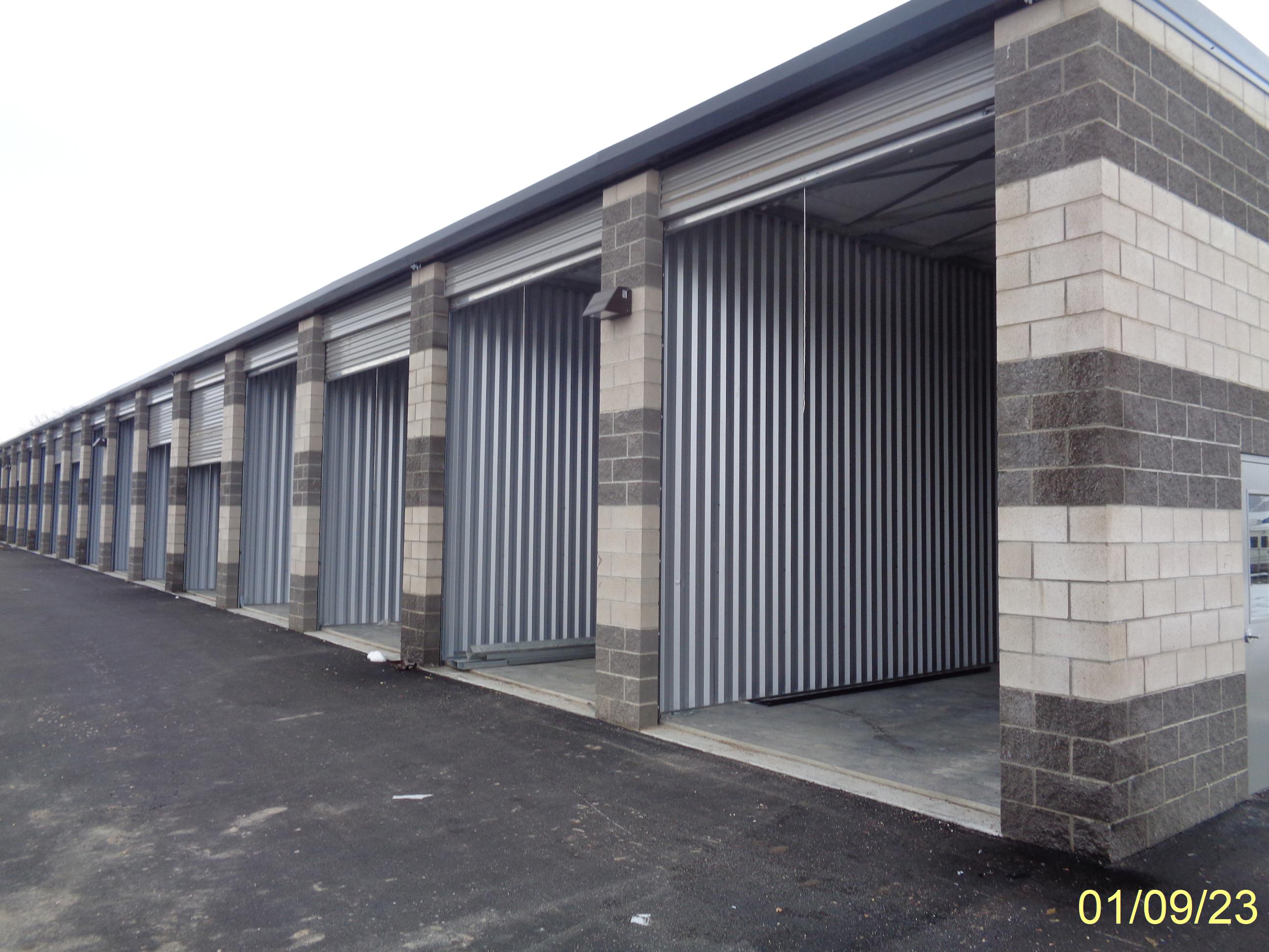
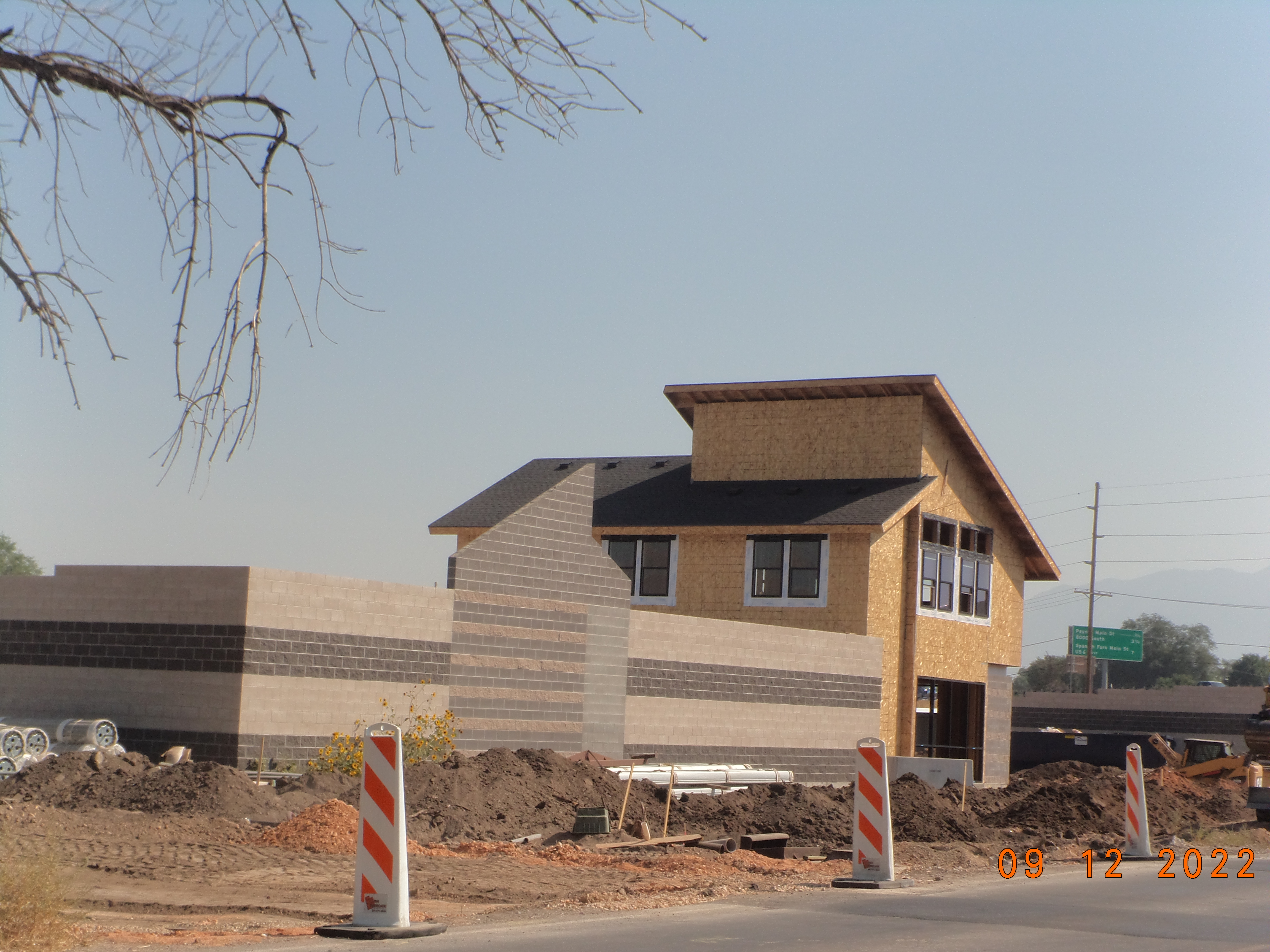
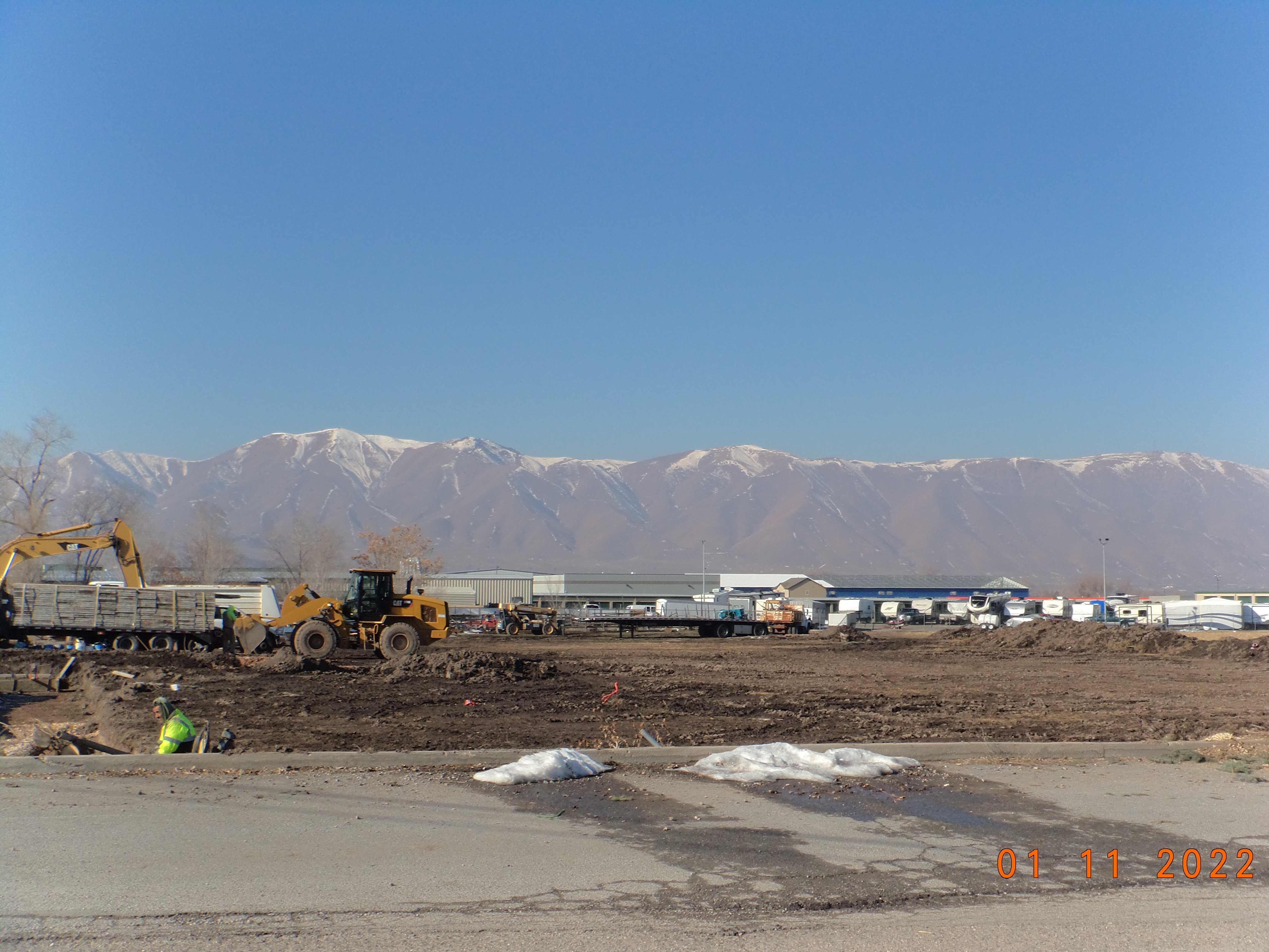
Total Photos: 9
|
| |
|
|
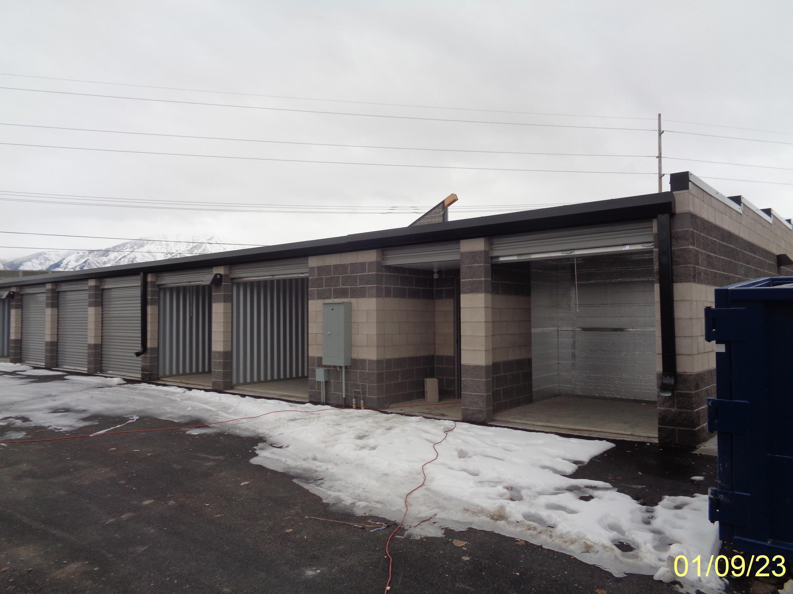
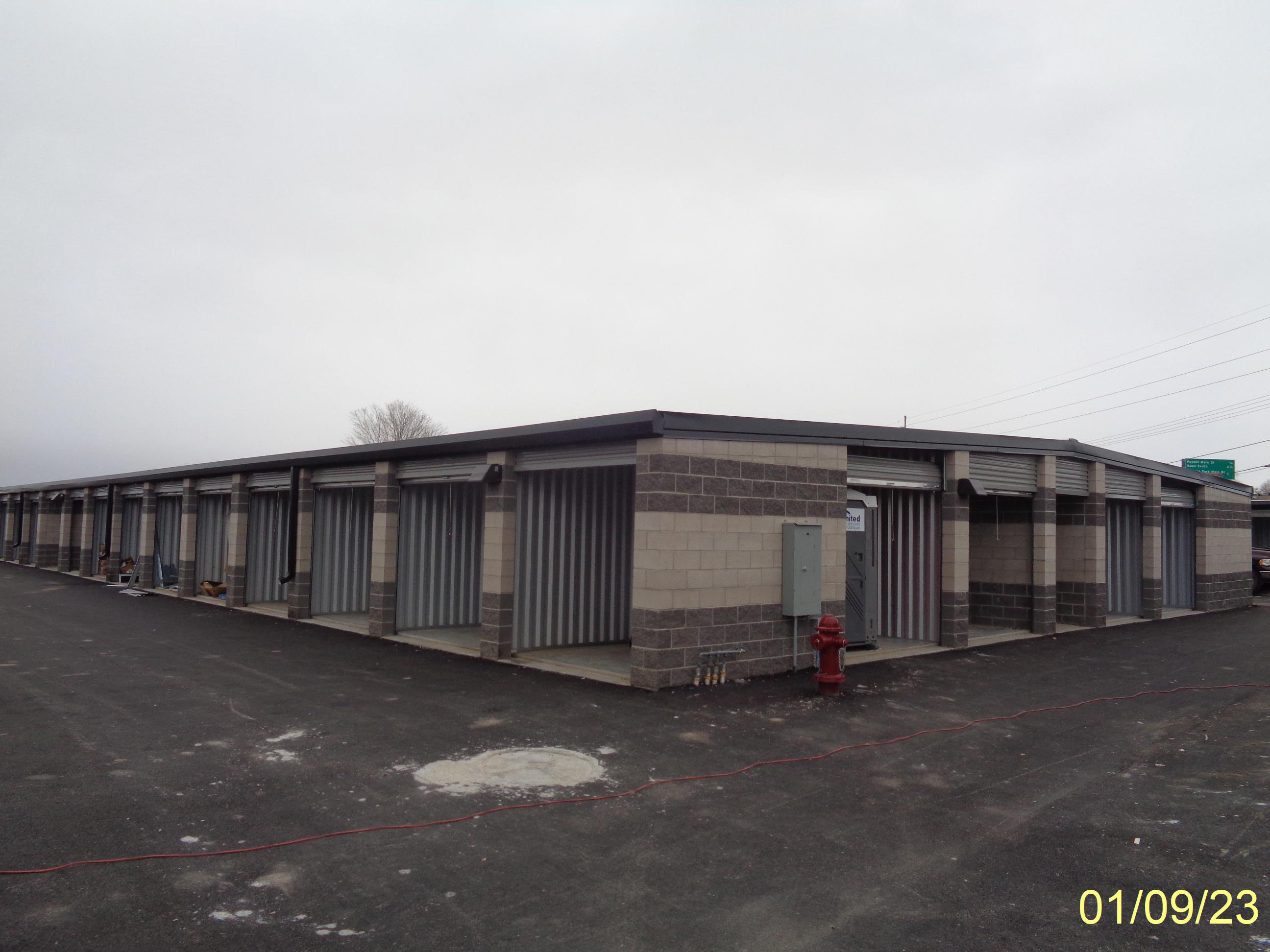
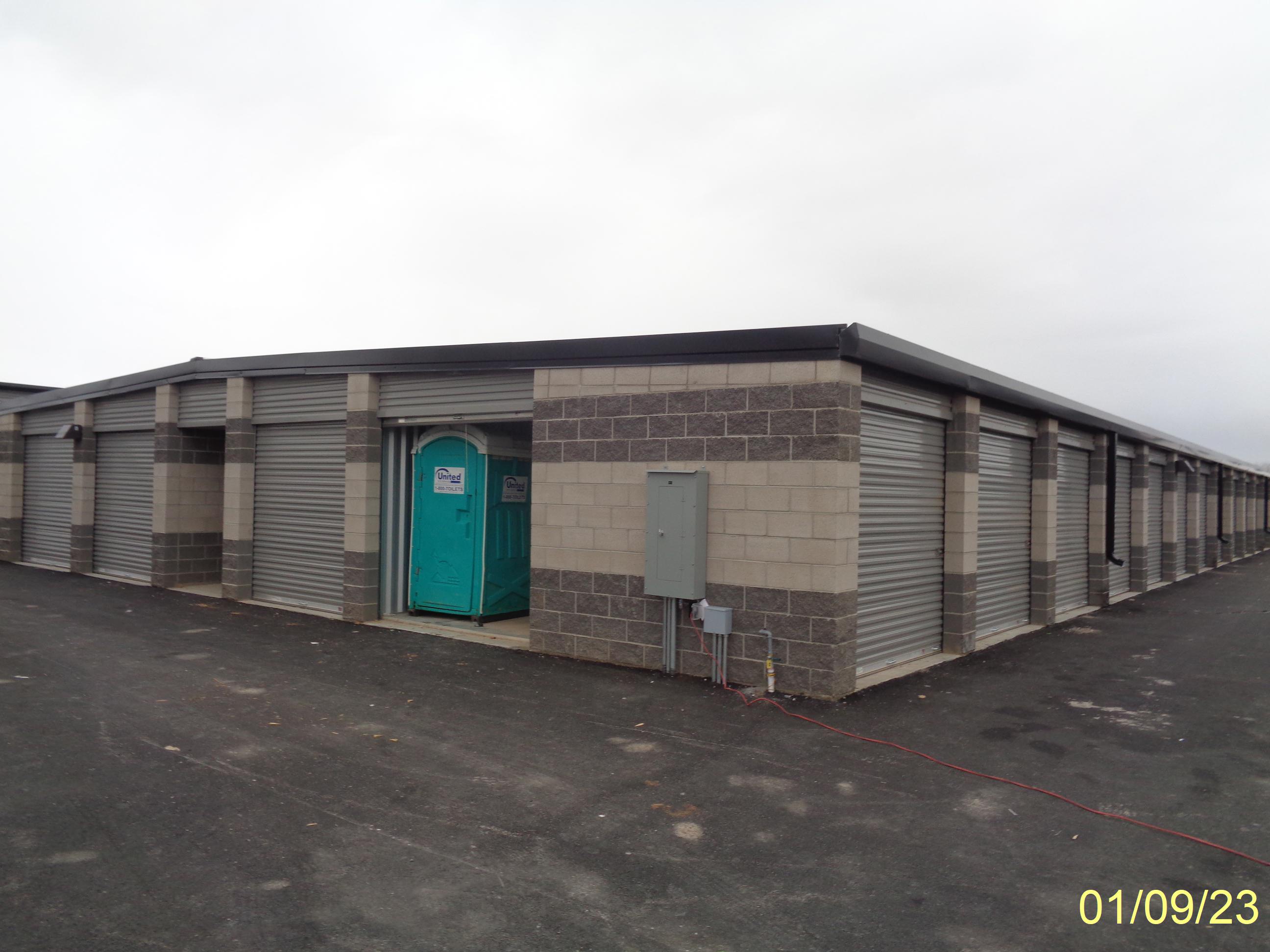
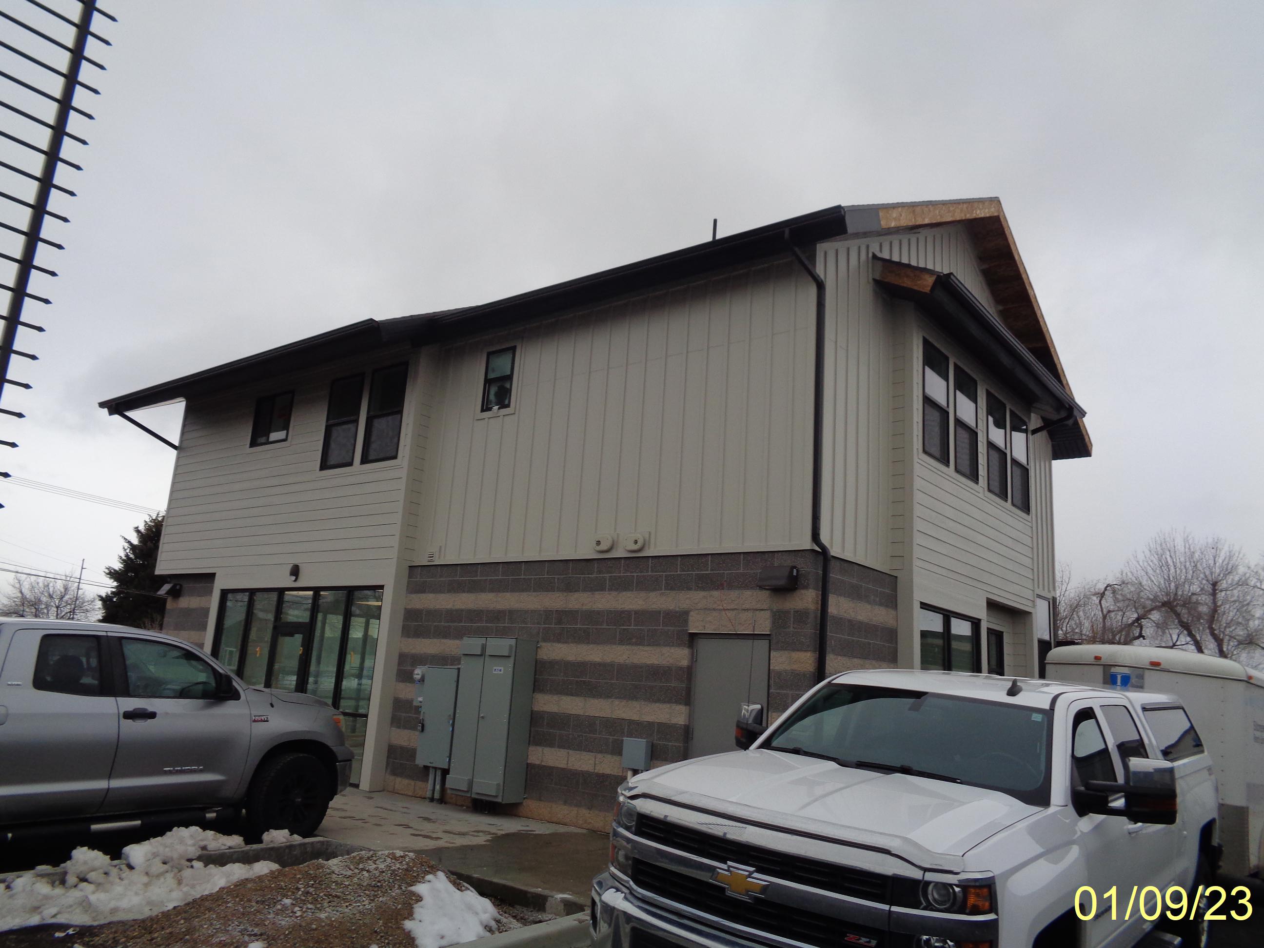
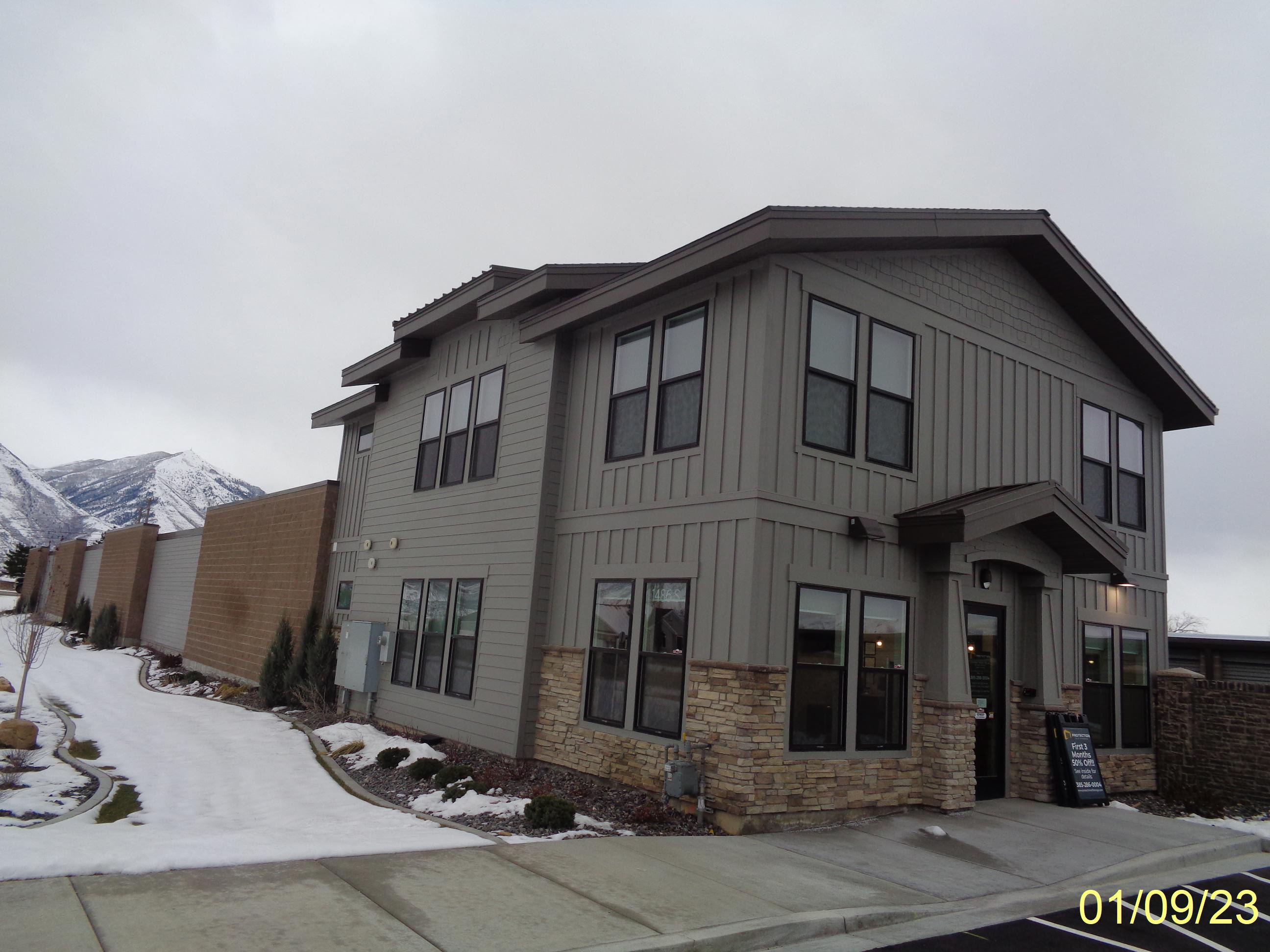
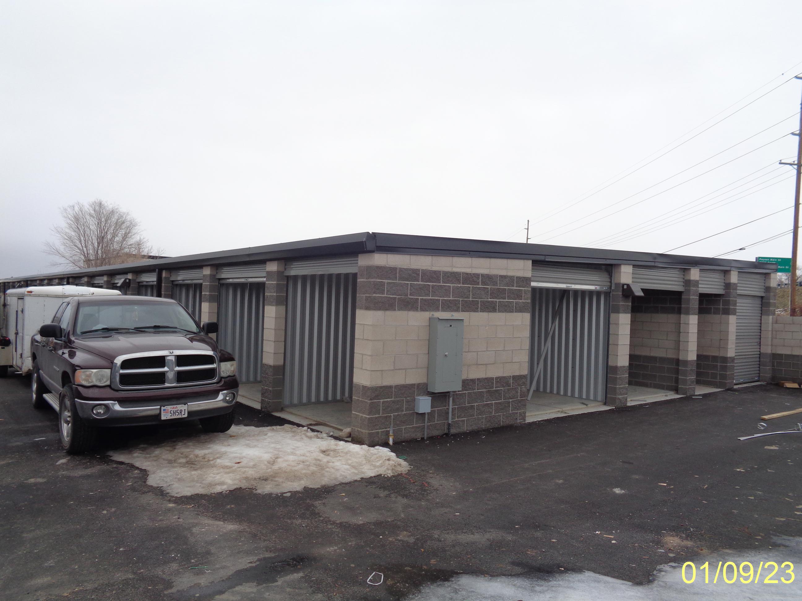
| Property Address: 820 W UTAH AVE - PAYSON |
|
| Mailing Address: 820 W UTAH AVE PAYSON, UT 84651 |
|
| Acreage: 4.759028 |
|
| Last Document:
194454-2021
|
|
| Subdivision Map Filing |
|
| Taxing Description:
PART LOT 1, ZELMA STORAGE SUB DESCRIBED AS FOLLOWS; COM S 1168.73 FT & E 617.87 FT FR W 1/4 COR. SEC. 8, T9S, R2E, SLB&M.; E 413.28 FT; S 0 DEG 50' 0" W 579.29 FT; N 89 DEG 15' 0" W 309.55 FT; ALONG A CURVE TO R (CHORD BEARS: N 44 DEG 28' 16" W 19.72 FT, RADIUS = 14 FT); N 0 DEG 18' 28" E 243.66 FT; ALONG A CURVE TO L (CHORD BEARS: N 15 DEG 19' 19" W 38.26 FT, RADIUS = 71 FT); N 30 DEG 57' 6" W 137.87 FT; ALONG A CURVE TO R (CHORD BEARS: N 15 DEG 40' 53" W 9.34 FT, RADIUS = 17 FT); N 0 DEG 16' 5" E 153.37 FT TO BEG. AREA 4.759 AC.
*Taxing description NOT FOR LEGAL DOCUMENTS
|
|
- Owner Names
- Value History
- Tax History
- Location
- Photos
- Documents
- Aerial Image
| |
----- Real Estate Values ----- |
---Improvements--- |
---Greenbelt--- |
Total |
| Year |
Com |
Res |
Agr |
Tot |
Com |
Res |
Agr |
Tot |
Land |
Homesite |
Tot |
Market Value |
| 2024 |
$1,192,700 |
$94,600 |
$0 |
$1,287,300 |
$2,956,400 |
$250,100 |
$0 |
$3,206,500 |
$0 |
$0 |
$0 |
$4,493,800 |
| 2023 |
$1,161,900 |
$92,100 |
$0 |
$1,254,000 |
$2,483,400 |
$176,800 |
$0 |
$2,660,200 |
$0 |
$0 |
$0 |
$3,914,200 |
| 2022 |
$879,000 |
$0 |
$0 |
$879,000 |
$0 |
$0 |
$0 |
$0 |
$0 |
$0 |
$0 |
$879,000 |
| Year |
General Taxes |
Adjustments |
Net Taxes |
Fees |
Payments |
Tax Balance* |
Balance Due |
Tax District |
| 2025 |
$0.00 |
$0.00 |
$0.00 |
$0.00 |
|
$0.00
|
$0.00 |
170 - PAYSON CITY |
| 2024 |
$0.00 |
$0.00 |
$0.00 |
$0.00 |
|
$0.00
|
$0.00 |
170 - PAYSON CITY |
| 2023 |
$37,169.52 |
$0.00 |
$37,169.52 |
$0.00 |
|
|
Click for Payoff
|
170 - PAYSON CITY |
| 2022 |
$8,757.48 |
$0.00 |
$8,757.48 |
$0.00 |
|
|
Click for Payoff
|
170 - PAYSON CITY |
* Note: Original tax amount (Does not include applicable interest and/or fees).
| Entry # |
Date |
Recorded |
Type |
Party1 (Grantor) |
Party2 (Grantee) |
| 49142-2022 |
04/20/2022 |
04/20/2022 |
MOD AGR |
SCHMIDT, CAMERON TEE (ET AL) |
CENTRAL BANK |
| 194454-2021 |
10/07/2021 |
11/18/2021 |
S PLAT |
SCHMIDT, CAMERON TEE (ET AL) |
ZELMA STORAGE |
Main Menu Comments or Concerns on Value/Appraisal - Assessor's Office
Documents/Owner/Parcel information - Recorder's Office
Address Change for Tax Notice
This page was created on 7/27/2024 5:59:53 AM |