Property Information
mobile view
| Serial Number: 58:023:0334 |
Serial Life: 2021-2024 |
|
|
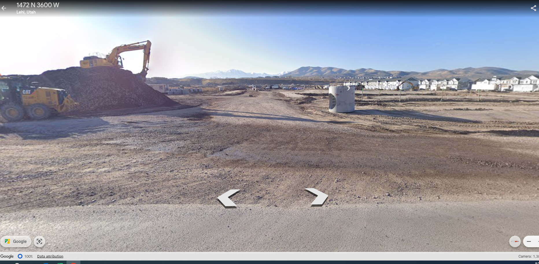 Total Photos: 1
|
| |
|
|
| Property Address: 9331 N 10400 WEST - LEHI |
|
| Mailing Address: 13702 S 200 WEST B12 DRAPER, UT 84020 |
|
| Acreage: 12.282658 |
|
| Last Document:
13325-2022
|
|
| Subdivision Map Filing |
|
| Taxing Description:
COM N 921.45 FT & W 41.807 FT FR E 1/4 COR. SEC. 11, T5S, R1W, SLB&M.; N 0 DEG 0' 23" W 376.42 FT; S 89 DEG 57' 40" W 1422.88 FT; S 0 DEG 13' 17" E 376.42 FT; N 89 DEG 57' 40" E 1421.47 FT TO BEG. AREA 12.283 AC.
*Taxing description NOT FOR LEGAL DOCUMENTS
|
|
- Owner Names
- Value History
- Tax History
- Location
- Photos
- Documents
- Aerial Image
| |
----- Real Estate Values ----- |
---Improvements--- |
---Greenbelt--- |
Total |
| Year |
Com |
Res |
Agr |
Tot |
Com |
Res |
Agr |
Tot |
Land |
Homesite |
Tot |
Market Value |
| 2024 |
$0 |
$286,500 |
$2,582,900 |
$2,869,400 |
$0 |
$269,200 |
$313,600 |
$582,800 |
$0 |
$0 |
$0 |
$3,452,200 |
| 2023 |
$0 |
$278,200 |
$2,507,700 |
$2,785,900 |
$0 |
$301,500 |
$283,000 |
$584,500 |
$0 |
$0 |
$0 |
$3,370,400 |
| 2022 |
$0 |
$241,900 |
$2,558,900 |
$2,800,800 |
$0 |
$358,400 |
$291,300 |
$649,700 |
$0 |
$0 |
$0 |
$3,450,500 |
| 2021 |
$0 |
$151,200 |
$2,132,400 |
$2,283,600 |
$0 |
$292,100 |
$255,500 |
$547,600 |
$0 |
$0 |
$0 |
$2,831,200 |
| Year |
General Taxes |
Adjustments |
Net Taxes |
Fees |
Payments |
Tax Balance* |
Balance Due |
Tax District |
| 2024 |
$29,457.62 |
$0.00 |
$29,457.62 |
$0.00 |
|
|
Click for Payoff
|
011 - LEHI CITY W/O NUCW |
| 2023 |
$24,434.73 |
$0.00 |
$24,434.73 |
$0.00 |
|
$0.00
|
$0.00 |
011 - LEHI CITY W/O NUCW |
| 2022 |
$25,780.04 |
$0.00 |
$25,780.04 |
$0.00 |
|
$0.00
|
$0.00 |
011 - LEHI CITY W/O NUCW |
| 2021 |
$25,653.96 |
$0.00 |
$25,653.96 |
$0.00 |
|
$0.00
|
$0.00 |
011 - LEHI CITY W/O NUCW |
* Note: Original tax amount (Does not include applicable interest and/or fees).
| Entry # |
Date |
Recorded |
Type |
Party1 (Grantor) |
Party2 (Grantee) |
| 11448-2024 |
02/13/2024 |
02/23/2024 |
S PLAT |
EDGE GARDNER POINT LLC (ET AL) |
RIVER POINT PHASE 1 |
| 3646-2024 |
01/18/2024 |
01/19/2024 |
QCD |
UTAH LAKE DISTRIBUTING COMPANY |
EDGE GARDNER POINT LLC |
| 48367-2023 |
07/20/2023 |
07/26/2023 |
RROFREF |
D R HORTON INC |
WHOM OF INTEREST |
| 89025-2022 |
07/21/2022 |
08/09/2022 |
AGR |
LEHI CITY |
EDGE HOMES UTAH LLC |
| 75482-2022 |
06/22/2022 |
06/29/2022 |
REC |
WESTERN AGCREDIT TEE |
MCLACHLAN, SCOTT COOPER & JULIE ANN |
| 13325-2022 |
01/28/2022 |
01/31/2022 |
WD |
TENMO LLC |
EDGE HOMES UTAH LLC |
| 7764-2022 |
01/13/2022 |
01/19/2022 |
REC |
WESTERN AGCREDIT TEE |
MCLACHLAN, SCOTT COOPER & JULIE ANN |
| 7763-2022 |
01/13/2022 |
01/19/2022 |
REC |
WESTERN AGCREDIT TEE |
MCLACHLAN, SCOTT COOPER & JULIE ANN |
| 170341-2021 |
10/04/2021 |
10/04/2021 |
REC |
GUYMON, PAXTON R TEE |
TENMO LLC |
| 169366-2021 |
09/30/2021 |
10/01/2021 |
SUB TEE |
RIVER JORDAN LLC |
GUYMON, PAXTON R SUCTEE |
| 9942-2021 |
01/19/2021 |
01/19/2021 |
R FARM |
UTAH COUNTY TREASURER |
MC LACHLAN, SCOTT C & JULIA A (ET AL) |
| 210700-2020 |
12/29/2020 |
12/31/2020 |
W FARM |
RIVER JORDAN LLC (ET AL) |
WHOM OF INTEREST |
| 209901-2020 |
12/29/2020 |
12/30/2020 |
SP WD |
MFRE RIVER JORDAN MINK RANCH SOUTH SLLC |
TENMO LLC |
| 209900-2020 |
12/29/2020 |
12/30/2020 |
SP WD |
RIVER JORDAN LLC |
MFRE RIVER JORDAN MINK RANCH SOUTH SLLC |
Main Menu Comments or Concerns on Value/Appraisal - Assessor's Office
Documents/Owner/Parcel information - Recorder's Office
Address Change for Tax Notice
This page was created on 10/19/2024 10:49:34 AM |