Property Information
mobile view
| Serial Number: 66:267:0002 |
Serial Life: 2009... |
|
|
 Total Photos: 4
|
| |
|
|
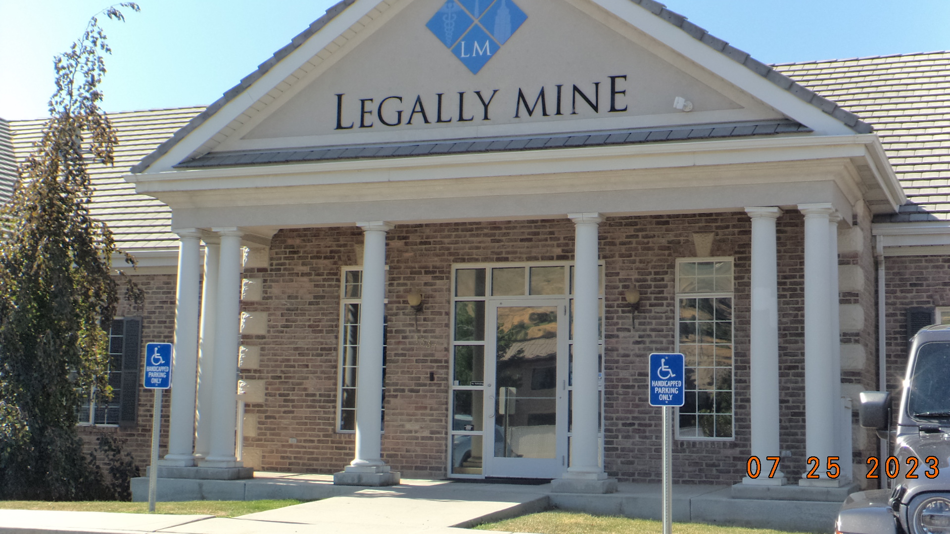
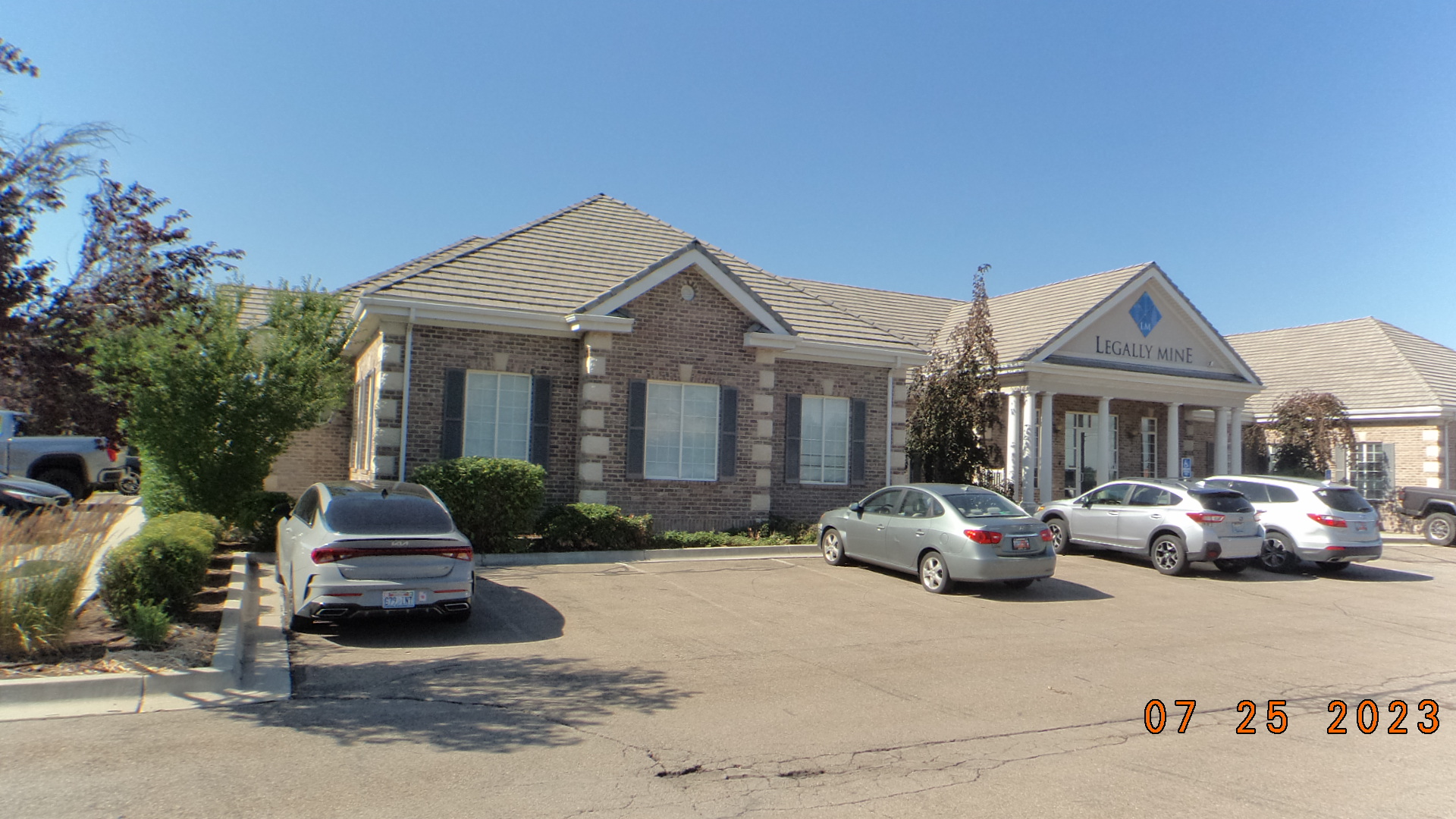
| Property Address: 1337 E 750 NORTH - OREM |
|
| Mailing Address: 964 S 950 E ALBION, ID 83311-9705 |
|
| Acreage: 0.149 |
|
| Last Document:
74567-2013
|
|
| Subdivision Map Filing |
|
| Taxing Description:
LOT 2, SOMMERSET PARK PUD AMENDED SUBDV. AREA 0.149 AC.
*Taxing description NOT FOR LEGAL DOCUMENTS
|
|
- Owner Names
- Value History
- Tax History
- Location
- Photos
- Documents
- Aerial Image
| |
----- Real Estate Values ----- |
---Improvements--- |
---Greenbelt--- |
Total |
| Year |
Com |
Res |
Agr |
Tot |
Com |
Res |
Agr |
Tot |
Land |
Homesite |
Tot |
Market Value |
| 2024 |
$372,800 |
$0 |
$0 |
$372,800 |
$1,887,300 |
$0 |
$0 |
$1,887,300 |
$0 |
$0 |
$0 |
$2,260,100 |
| 2023 |
$365,500 |
$0 |
$0 |
$365,500 |
$1,857,600 |
$0 |
$0 |
$1,857,600 |
$0 |
$0 |
$0 |
$2,223,100 |
| 2022 |
$377,500 |
$0 |
$0 |
$377,500 |
$930,300 |
$0 |
$0 |
$930,300 |
$0 |
$0 |
$0 |
$1,307,800 |
| 2021 |
$377,500 |
$0 |
$0 |
$377,500 |
$930,300 |
$0 |
$0 |
$930,300 |
$0 |
$0 |
$0 |
$1,307,800 |
| 2020 |
$377,500 |
$0 |
$0 |
$377,500 |
$930,300 |
$0 |
$0 |
$930,300 |
$0 |
$0 |
$0 |
$1,307,800 |
| 2019 |
$377,500 |
$0 |
$0 |
$377,500 |
$930,300 |
$0 |
$0 |
$930,300 |
$0 |
$0 |
$0 |
$1,307,800 |
| 2018 |
$377,500 |
$0 |
$0 |
$377,500 |
$930,300 |
$0 |
$0 |
$930,300 |
$0 |
$0 |
$0 |
$1,307,800 |
| 2017 |
$374,000 |
$0 |
$0 |
$374,000 |
$1,059,000 |
$0 |
$0 |
$1,059,000 |
$0 |
$0 |
$0 |
$1,433,000 |
| 2016 |
$374,000 |
$0 |
$0 |
$374,000 |
$1,059,000 |
$0 |
$0 |
$1,059,000 |
$0 |
$0 |
$0 |
$1,433,000 |
| 2015 |
$374,000 |
$0 |
$0 |
$374,000 |
$1,059,000 |
$0 |
$0 |
$1,059,000 |
$0 |
$0 |
$0 |
$1,433,000 |
| 2014 |
$374,000 |
$0 |
$0 |
$374,000 |
$1,059,000 |
$0 |
$0 |
$1,059,000 |
$0 |
$0 |
$0 |
$1,433,000 |
| 2013 |
$374,000 |
$0 |
$0 |
$374,000 |
$1,059,000 |
$0 |
$0 |
$1,059,000 |
$0 |
$0 |
$0 |
$1,433,000 |
| 2012 |
$374,000 |
$0 |
$0 |
$374,000 |
$1,059,000 |
$0 |
$0 |
$1,059,000 |
$0 |
$0 |
$0 |
$1,433,000 |
| 2011 |
$380,400 |
$0 |
$0 |
$380,400 |
$1,027,000 |
$0 |
$0 |
$1,027,000 |
$0 |
$0 |
$0 |
$1,407,400 |
| 2010 |
$413,462 |
$0 |
$0 |
$413,462 |
$1,081,032 |
$0 |
$0 |
$1,081,032 |
$0 |
$0 |
$0 |
$1,494,494 |
| 2009 |
$421,900 |
$0 |
$0 |
$421,900 |
$1,162,400 |
$0 |
$0 |
$1,162,400 |
$0 |
$0 |
$0 |
$1,584,300 |
| Year |
General Taxes |
Adjustments |
Net Taxes |
Fees |
Payments |
Tax Balance* |
Balance Due |
Tax District |
| 2025 |
$0.00 |
$0.00 |
$0.00 |
$0.00 |
|
$0.00
|
$0.00 |
090 - OREM CITY |
| 2024 |
$18,483.10 |
$0.00 |
$18,483.10 |
$0.00 |
|
|
Click for Payoff
|
090 - OREM CITY |
| 2023 |
$16,915.57 |
$0.00 |
$16,915.57 |
$0.00 |
|
$0.00
|
$0.00 |
090 - OREM CITY |
| 2022 |
$10,271.46 |
$0.00 |
$10,271.46 |
$0.00 |
|
$0.00
|
$0.00 |
090 - OREM CITY |
| 2021 |
$12,329.94 |
$0.00 |
$12,329.94 |
$0.00 |
|
$0.00
|
$0.00 |
090 - OREM CITY |
| 2020 |
$12,545.73 |
$0.00 |
$12,545.73 |
$0.00 |
|
$0.00
|
$0.00 |
090 - OREM CITY |
| 2019 |
$12,064.46 |
$0.00 |
$12,064.46 |
$0.00 |
|
$0.00
|
$0.00 |
090 - OREM CITY |
| 2018 |
$12,626.81 |
$0.00 |
$12,626.81 |
$0.00 |
|
$0.00
|
$0.00 |
090 - OREM CITY |
| 2017 |
$14,205.33 |
$0.00 |
$14,205.33 |
$0.00 |
|
$0.00
|
$0.00 |
090 - OREM CITY |
| 2016 |
$15,404.75 |
$0.00 |
$15,404.75 |
$0.00 |
|
$0.00
|
$0.00 |
090 - OREM CITY |
| 2015 |
$16,288.91 |
$0.00 |
$16,288.91 |
$0.00 |
|
$0.00
|
$0.00 |
090 - OREM CITY |
| 2014 |
$16,363.43 |
$0.00 |
$16,363.43 |
$0.00 |
|
$0.00
|
$0.00 |
090 - OREM CITY |
| 2013 |
$17,645.96 |
$0.00 |
$17,645.96 |
$0.00 |
|
$0.00
|
$0.00 |
090 - OREM CITY |
| 2012 |
$18,009.94 |
$0.00 |
$18,009.94 |
$0.00 |
|
$0.00
|
$0.00 |
090 - OREM CITY |
| 2011 |
$17,603.76 |
$0.00 |
$17,603.76 |
$0.00 |
|
$0.00
|
$0.00 |
090 - OREM CITY |
| 2010 |
$17,500.52 |
$0.00 |
$17,500.52 |
$0.00 |
|
$0.00
|
$0.00 |
090 - OREM CITY |
| 2009 |
$17,197.58 |
$0.00 |
$17,197.58 |
$0.00 |
|
$0.00
|
$0.00 |
090 - OREM CITY |
* Note: Original tax amount (Does not include applicable interest and/or fees).
| Entry # |
Date |
Recorded |
Type |
Party1 (Grantor) |
Party2 (Grantee) |
| 47982-2016 |
10/26/2015 |
05/27/2016 |
ADECCOV |
K&S JENSON PROPERTIES LLC |
WHOM OF INTEREST |
| 47981-2016 |
10/23/2015 |
05/27/2016 |
ADECCOV |
SOMMERSET PARK HOLDINGS LLC |
WHOM OF INTEREST |
| 47980-2016 |
10/29/2015 |
05/27/2016 |
ADECCOV |
GEARY, V THOMAS TEE (ET AL) |
WHOM OF INTEREST |
| 47979-2016 |
02/18/2016 |
05/27/2016 |
ADECCOV |
STANLEY L GUBLER LTD BY (ET AL) |
WHOM OF INTEREST |
| 74567-2013 |
06/06/2013 |
08/06/2013 |
QCD |
GEARY, V THOMAS TEE (ET AL) |
SOMMERSET PARK LLC |
| 121154-2008 |
09/03/2008 |
11/12/2008 |
S PLAT |
GUBLER, BRENT H (ET AL) |
SOMMERSET PARK PUD AMENDED |
Main Menu Comments or Concerns on Value/Appraisal - Assessor's Office
Documents/Owner/Parcel information - Recorder's Office
Address Change for Tax Notice
This page was created on 10/20/2024 11:44:21 PM |