Property Information
mobile view
| Serial Number: 66:532:0003 |
Serial Life: 2017... |
|
|
 Total Photos: 3
|
| |
|
|
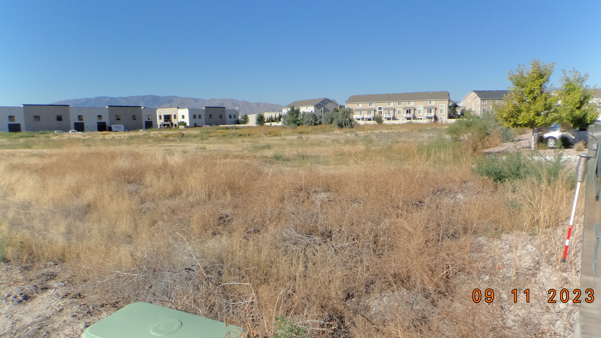
| Property Address: 430 S 850 EAST - LEHI |
|
| Mailing Address: 35 S PFEIFFER HORN DR ALPINE, UT 84004 |
|
| Acreage: 5.065014 |
|
| Last Document:
124847-2017
|
|
| Subdivision Map Filing |
|
| Taxing Description:
LOT 3, PLAT B, SORENSEN-LEHI SUB AREA 5.065 AC.
*Taxing description NOT FOR LEGAL DOCUMENTS
|
|
- Owner Names
- Value History
- Tax History
- Location
- Photos
- Documents
- Aerial Image
| |
----- Real Estate Values ----- |
---Improvements--- |
---Greenbelt--- |
Total |
| Year |
Com |
Res |
Agr |
Tot |
Com |
Res |
Agr |
Tot |
Land |
Homesite |
Tot |
Market Value |
| 2024 |
$2,109,400 |
$0 |
$0 |
$2,109,400 |
$0 |
$0 |
$0 |
$0 |
$0 |
$0 |
$0 |
$2,109,400 |
| 2023 |
$2,062,700 |
$0 |
$0 |
$2,062,700 |
$0 |
$0 |
$0 |
$0 |
$0 |
$0 |
$0 |
$2,062,700 |
| 2022 |
$2,023,800 |
$0 |
$0 |
$2,023,800 |
$0 |
$0 |
$0 |
$0 |
$0 |
$0 |
$0 |
$2,023,800 |
| 2021 |
$1,970,200 |
$0 |
$0 |
$1,970,200 |
$0 |
$0 |
$0 |
$0 |
$0 |
$0 |
$0 |
$1,970,200 |
| 2020 |
$1,970,200 |
$0 |
$0 |
$1,970,200 |
$0 |
$0 |
$0 |
$0 |
$0 |
$0 |
$0 |
$1,970,200 |
| 2019 |
$1,822,400 |
$0 |
$0 |
$1,822,400 |
$0 |
$0 |
$0 |
$0 |
$0 |
$0 |
$0 |
$1,822,400 |
| 2018 |
$1,458,400 |
$0 |
$0 |
$1,458,400 |
$0 |
$0 |
$0 |
$0 |
$0 |
$0 |
$0 |
$1,458,400 |
| 2017 |
$1,390,000 |
$0 |
$0 |
$1,390,000 |
$0 |
$0 |
$0 |
$0 |
$0 |
$0 |
$0 |
$1,390,000 |
| Year |
General Taxes |
Adjustments |
Net Taxes |
Fees |
Payments |
Tax Balance* |
Balance Due |
Tax District |
| 2025 |
$0.00 |
$0.00 |
$0.00 |
$0.00 |
|
$0.00
|
$0.00 |
010 - LEHI CITY |
| 2024 |
$18,024.82 |
$0.00 |
$18,024.82 |
$0.00 |
|
|
Click for Payoff
|
010 - LEHI CITY |
| 2023 |
$16,233.45 |
$0.00 |
$16,233.45 |
$0.00 |
|
$0.00
|
$0.00 |
010 - LEHI CITY |
| 2022 |
$16,429.21 |
$0.00 |
$16,429.21 |
$0.00 |
|
$0.00
|
$0.00 |
010 - LEHI CITY |
| 2021 |
$19,235.06 |
$0.00 |
$19,235.06 |
$0.00 |
|
$0.00
|
$0.00 |
010 - LEHI CITY |
| 2020 |
$19,459.67 |
$0.00 |
$19,459.67 |
$0.00 |
|
$0.00
|
$0.00 |
010 - LEHI CITY |
| 2019 |
$17,314.62 |
$0.00 |
$17,314.62 |
$0.00 |
|
$0.00
|
$0.00 |
010 - LEHI CITY |
| 2018 |
$14,656.92 |
$0.00 |
$14,656.92 |
$0.00 |
|
$0.00
|
$0.00 |
010 - LEHI CITY |
| 2017 |
$14,451.83 |
$0.00 |
$14,451.83 |
$0.00 |
|
$0.00
|
$0.00 |
010 - LEHI CITY |
* Note: Original tax amount (Does not include applicable interest and/or fees).
| Entry # |
Date |
Recorded |
Type |
Party1 (Grantor) |
Party2 (Grantee) |
| 110021-2018 |
10/23/2018 |
11/16/2018 |
ORDIN |
LEHI CITY |
WHOM OF INTEREST |
| 124847-2017 |
12/14/2017 |
12/18/2017 |
SP WD |
SUMMER CREEK PROPERTIES LLC |
WINTER CREEK PROPERTIES LLC |
| 65678-2016 |
07/12/2016 |
07/18/2016 |
S PLAT |
AUTUMN CREEK PROPERTIES LLC |
SORENSEN-LEHI PLAT B |
Main Menu Comments or Concerns on Value/Appraisal - Assessor's Office
Documents/Owner/Parcel information - Recorder's Office
Address Change for Tax Notice
This page was created on 9/27/2024 11:39:55 AM |

