Property Information
mobile view
| Serial Number: 66:561:0211 |
Serial Life: 2018... |
|
|
 Total Photos: 3
|
| |
|
|
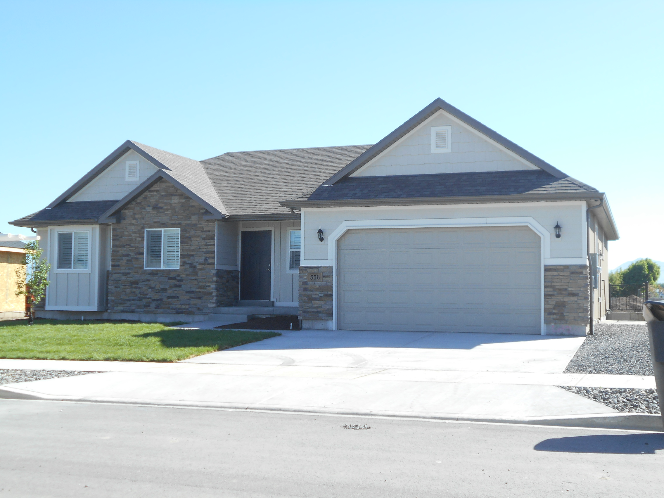
| Property Address: 556 N 150 WEST - PAYSON |
|
| Mailing Address: 556 N 150 W PAYSON, UT 84651 |
|
| Acreage: 0.20791 |
|
| Last Document:
80990-2017
|
|
| Subdivision Map Filing |
|
| Taxing Description:
LOT 211, PLAT B, STERLING GROVE SUB AREA 0.208 AC.
*Taxing description NOT FOR LEGAL DOCUMENTS
|
|
- Owner Names
- Value History
- Tax History
- Location
- Photos
- Documents
- Aerial Image
| |
----- Real Estate Values ----- |
---Improvements--- |
---Greenbelt--- |
Total |
| Year |
Com |
Res |
Agr |
Tot |
Com |
Res |
Agr |
Tot |
Land |
Homesite |
Tot |
Market Value |
| 2024 |
$0 |
$151,200 |
$0 |
$151,200 |
$0 |
$377,700 |
$0 |
$377,700 |
$0 |
$0 |
$0 |
$528,900 |
| 2023 |
$0 |
$151,100 |
$0 |
$151,100 |
$0 |
$375,700 |
$0 |
$375,700 |
$0 |
$0 |
$0 |
$526,800 |
| 2022 |
$0 |
$161,100 |
$0 |
$161,100 |
$0 |
$387,600 |
$0 |
$387,600 |
$0 |
$0 |
$0 |
$548,700 |
| 2021 |
$0 |
$107,400 |
$0 |
$107,400 |
$0 |
$293,600 |
$0 |
$293,600 |
$0 |
$0 |
$0 |
$401,000 |
| 2020 |
$0 |
$93,400 |
$0 |
$93,400 |
$0 |
$274,900 |
$0 |
$274,900 |
$0 |
$0 |
$0 |
$368,300 |
| 2019 |
$0 |
$88,500 |
$0 |
$88,500 |
$0 |
$264,300 |
$0 |
$264,300 |
$0 |
$0 |
$0 |
$352,800 |
| 2018 |
$0 |
$77,900 |
$0 |
$77,900 |
$0 |
$122,700 |
$0 |
$122,700 |
$0 |
$0 |
$0 |
$200,600 |
| Year |
General Taxes |
Adjustments |
Net Taxes |
Fees |
Payments |
Tax Balance* |
Balance Due |
Tax District |
| 2025 |
$0.00 |
$0.00 |
$0.00 |
$0.00 |
|
$0.00
|
$0.00 |
170 - PAYSON CITY |
| 2024 |
$2,858.33 |
$0.00 |
$2,858.33 |
$0.00 |
|
$0.00
|
$0.00 |
170 - PAYSON CITY |
| 2023 |
$2,839.16 |
$0.00 |
$2,839.16 |
$0.00 |
|
$0.00
|
$0.00 |
170 - PAYSON CITY |
| 2022 |
$3,006.68 |
$0.00 |
$3,006.68 |
$0.00 |
|
$0.00
|
$0.00 |
170 - PAYSON CITY |
| 2021 |
$2,490.89 |
$0.00 |
$2,490.89 |
$0.00 |
|
$0.00
|
$0.00 |
170 - PAYSON CITY |
| 2020 |
$2,338.41 |
$0.00 |
$2,338.41 |
$0.00 |
|
$0.00
|
$0.00 |
170 - PAYSON CITY |
| 2019 |
$2,184.89 |
$0.00 |
$2,184.89 |
$0.00 |
|
$0.00
|
$0.00 |
170 - PAYSON CITY |
| 2018 |
$1,288.99 |
$0.00 |
$1,288.99 |
$0.00 |
|
$0.00
|
$0.00 |
170 - PAYSON CITY |
* Note: Original tax amount (Does not include applicable interest and/or fees).
| Entry # |
Date |
Recorded |
Type |
Party1 (Grantor) |
Party2 (Grantee) |
| 21741-2020 |
02/18/2020 |
02/21/2020 |
REC |
CENTRAL BANK TEE |
R & C LLC |
| 36514-2018 |
04/16/2018 |
04/20/2018 |
D TR |
GRAFF, BRADLEY SCOTT & CHERYL M |
UTAH COMMUNITY CREDIT UNION |
| 11105-2018 |
02/03/2018 |
02/05/2018 |
BLA |
R & C LLC |
CURTIS, JUDY SUCTEE (ET AL) |
| 82569-2017 |
08/22/2017 |
08/23/2017 |
P REC |
CENTRAL BANK TEE |
R & C LLC |
| 80990-2017 |
08/17/2017 |
08/18/2017 |
WD |
R & C LLC |
GRAFF, BRADLEY SCOTT & CHERYL M |
| 29903-2017 |
03/28/2017 |
03/29/2017 |
AF |
PAYSON CITY |
WHOM OF INTEREST |
| 21156-2017 |
03/02/2017 |
03/02/2017 |
AF |
PAYSON CITY CORPORATION |
WHOM OF INTEREST |
| 20323-2017 |
02/24/2017 |
02/28/2017 |
REC |
UTAH COMMUNITY FEDERAL CREDIT UNION TEE |
HILL, JUSTIN |
| 13295-2017 |
09/07/2016 |
02/08/2017 |
AGR |
CITY OF PAYSON |
R & C LLC |
| 13294-2017 |
01/18/2017 |
02/08/2017 |
DECLCOV |
R & C LLC |
WHOM OF INTEREST |
| 13293-2017 |
07/06/2016 |
02/08/2017 |
S PLAT |
R&C LLC |
STERLING GROVE PLAT B |
Main Menu Comments or Concerns on Value/Appraisal - Assessor's Office
Documents/Owner/Parcel information - Recorder's Office
Address Change for Tax Notice
This page was created on 12/24/2024 12:55:31 AM |

