Property Information
mobile view
| Serial Number: 66:608:0302 |
Serial Life: 2019... |
|
|
 Total Photos: 4
|
| |
|
|
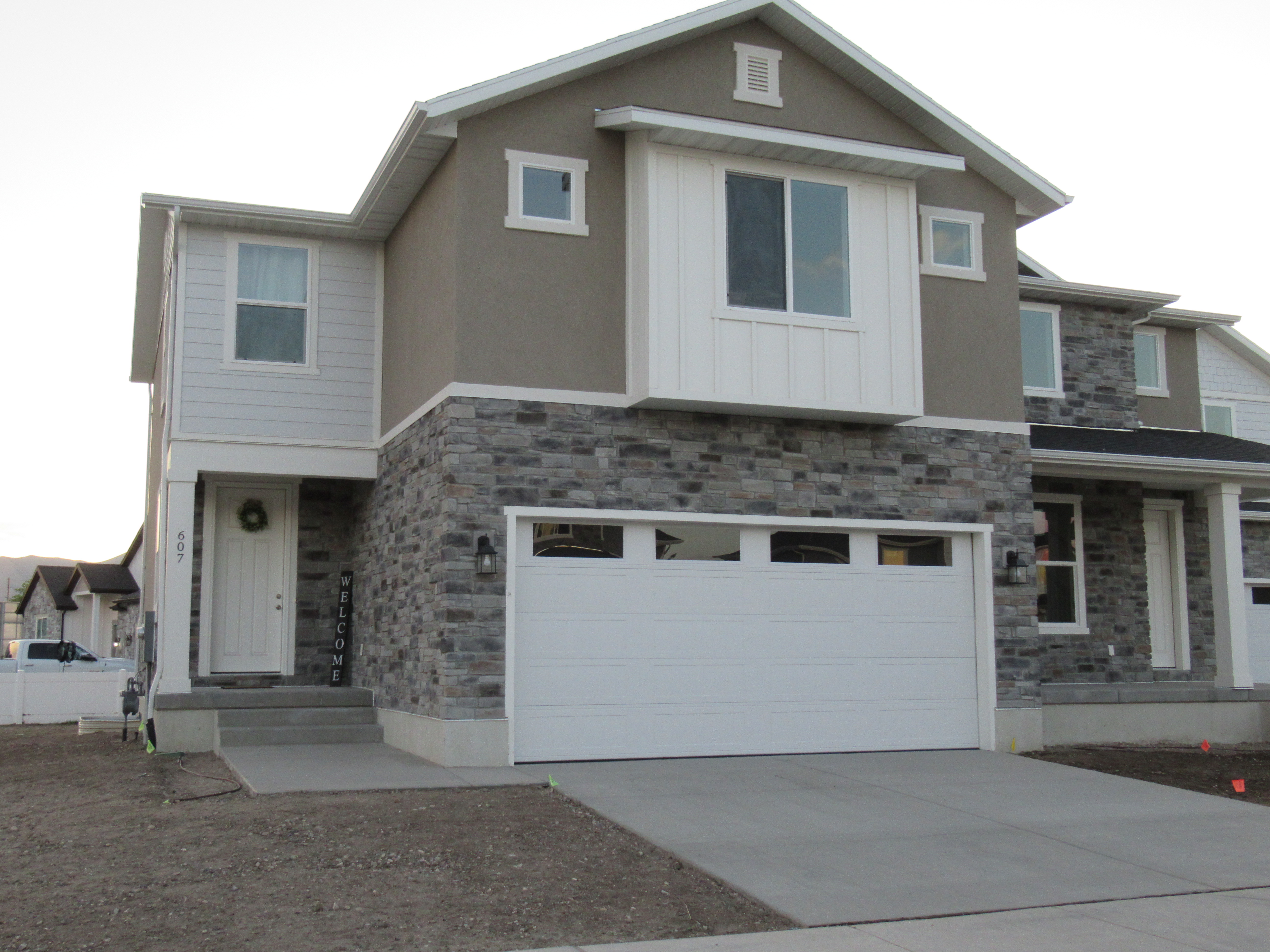
| Property Address: 607 N 125 WEST - PAYSON
more see "Addrs" tab below..
|
|
| Mailing Address: 607 N 125 W PAYSON, UT 84651 |
|
| Acreage: 0.106164 |
|
| Last Document:
7957-2018
|
|
| Subdivision Map Filing |
|
| Taxing Description:
LOT 302A, PLAT C, STERLING GROVE SUB AREA 0.106 AC.
*Taxing description NOT FOR LEGAL DOCUMENTS
|
|
- Owner Names
- Value History
- Tax History
- Location
- Photos
- Documents
- Aerial Image
- Addrs
| |
----- Real Estate Values ----- |
---Improvements--- |
---Greenbelt--- |
Total |
| Year |
Com |
Res |
Agr |
Tot |
Com |
Res |
Agr |
Tot |
Land |
Homesite |
Tot |
Market Value |
| 2024 |
$0 |
$73,100 |
$0 |
$73,100 |
$0 |
$352,200 |
$0 |
$352,200 |
$0 |
$0 |
$0 |
$425,300 |
| 2023 |
$0 |
$60,900 |
$0 |
$60,900 |
$0 |
$364,200 |
$0 |
$364,200 |
$0 |
$0 |
$0 |
$425,100 |
| 2022 |
$0 |
$64,900 |
$0 |
$64,900 |
$0 |
$394,300 |
$0 |
$394,300 |
$0 |
$0 |
$0 |
$459,200 |
| 2021 |
$0 |
$64,900 |
$0 |
$64,900 |
$0 |
$296,700 |
$0 |
$296,700 |
$0 |
$0 |
$0 |
$361,600 |
| 2020 |
$0 |
$64,900 |
$0 |
$64,900 |
$0 |
$255,100 |
$0 |
$255,100 |
$0 |
$0 |
$0 |
$320,000 |
| 2019 |
$0 |
$64,900 |
$0 |
$64,900 |
$0 |
$0 |
$0 |
$0 |
$0 |
$0 |
$0 |
$64,900 |
| Year |
General Taxes |
Adjustments |
Net Taxes |
Fees |
Payments |
Tax Balance* |
Balance Due |
Tax District |
| 2025 |
$0.00 |
$0.00 |
$0.00 |
$0.00 |
|
$0.00
|
$0.00 |
170 - PAYSON CITY |
| 2024 |
$2,298.45 |
$0.00 |
$2,298.45 |
$0.00 |
|
$0.00
|
$0.00 |
170 - PAYSON CITY |
| 2023 |
$2,291.06 |
$0.00 |
$2,291.06 |
$0.00 |
|
$0.00
|
$0.00 |
170 - PAYSON CITY |
| 2022 |
$2,516.26 |
$0.00 |
$2,516.26 |
$0.00 |
|
$0.00
|
$0.00 |
170 - PAYSON CITY |
| 2021 |
$2,246.15 |
$0.00 |
$2,246.15 |
$0.00 |
|
$0.00
|
$0.00 |
170 - PAYSON CITY |
| 2020 |
$2,031.74 |
$0.00 |
$2,031.74 |
$0.00 |
|
$0.00
|
$0.00 |
170 - PAYSON CITY |
| 2019 |
$730.77 |
$0.00 |
$730.77 |
$0.00 |
|
$0.00
|
$0.00 |
170 - PAYSON CITY |
* Note: Original tax amount (Does not include applicable interest and/or fees).
| Entry # |
Date |
Recorded |
Type |
Party1 (Grantor) |
Party2 (Grantee) |
| 69790-2022 |
08/14/2020 |
06/13/2022 |
REC |
CENTRAL BANK TEE |
VANKO LLC |
| 201872-2021 |
11/26/2021 |
12/03/2021 |
D TR |
SMITH, KENZE |
MOUNTAIN AMERICA FEDERAL CREDIT UNION |
| 176815-2021 |
10/15/2021 |
10/18/2021 |
REC |
MORTGAGE ELECTRONIC REGISTRATION INC |
SMITH, KENZE |
| 172906-2021 |
10/05/2021 |
10/08/2021 |
D TR |
SMITH, KENZE |
INTERCAP LENDING INC |
| 73193-2020 |
05/28/2020 |
05/29/2020 |
D TR |
SMITH, KENZE |
INTERCAP LENDING INC |
| 73192-2020 |
05/28/2020 |
05/29/2020 |
WD |
VANKO LLC |
SMITH, KENZE |
| 28547-2020 |
01/29/2020 |
03/04/2020 |
REC |
CENTRAL BANK TEE |
VANKO LLC |
| 80236-2019 |
08/19/2019 |
08/20/2019 |
D TR |
VANKO LLC |
CENTRAL BANK |
| 80235-2019 |
06/27/2018 |
08/20/2019 |
P REC |
CENTRAL BANK TEE |
VANKO LLC |
| 37882-2019 |
02/14/2019 |
05/01/2019 |
WATERAG |
R & C LLC (ET AL) |
STRAWBERRY HIGH LINE CANAL COMPANY (ET AL) |
| 37393-2019 |
04/29/2019 |
04/30/2019 |
D TR |
VANKO LLC |
CENTRAL BANK |
| 37366-2019 |
04/30/2019 |
04/30/2019 |
WD |
R & C LLC |
VANKO LLC |
| 11105-2018 |
02/03/2018 |
02/05/2018 |
BLA |
R & C LLC |
CURTIS, JUDY SUCTEE (ET AL) |
| 7957-2018 |
01/16/2018 |
01/25/2018 |
S PLAT |
R&C LLC |
STERLING GROVE PLAT C |
134 W 600 NORTH - PAYSON
134 W DOUGLASS DR - PAYSON
607 N 125 WEST - PAYSON
Main Menu Comments or Concerns on Value/Appraisal - Assessor's Office
Documents/Owner/Parcel information - Recorder's Office
Address Change for Tax Notice
This page was created on 4/19/2025 4:40:43 AM |


