Property Information
mobile view
| Serial Number: 66:611:0405 |
Serial Life: 2019... |
|
|
Total Photos: 2
|
| |
|
|
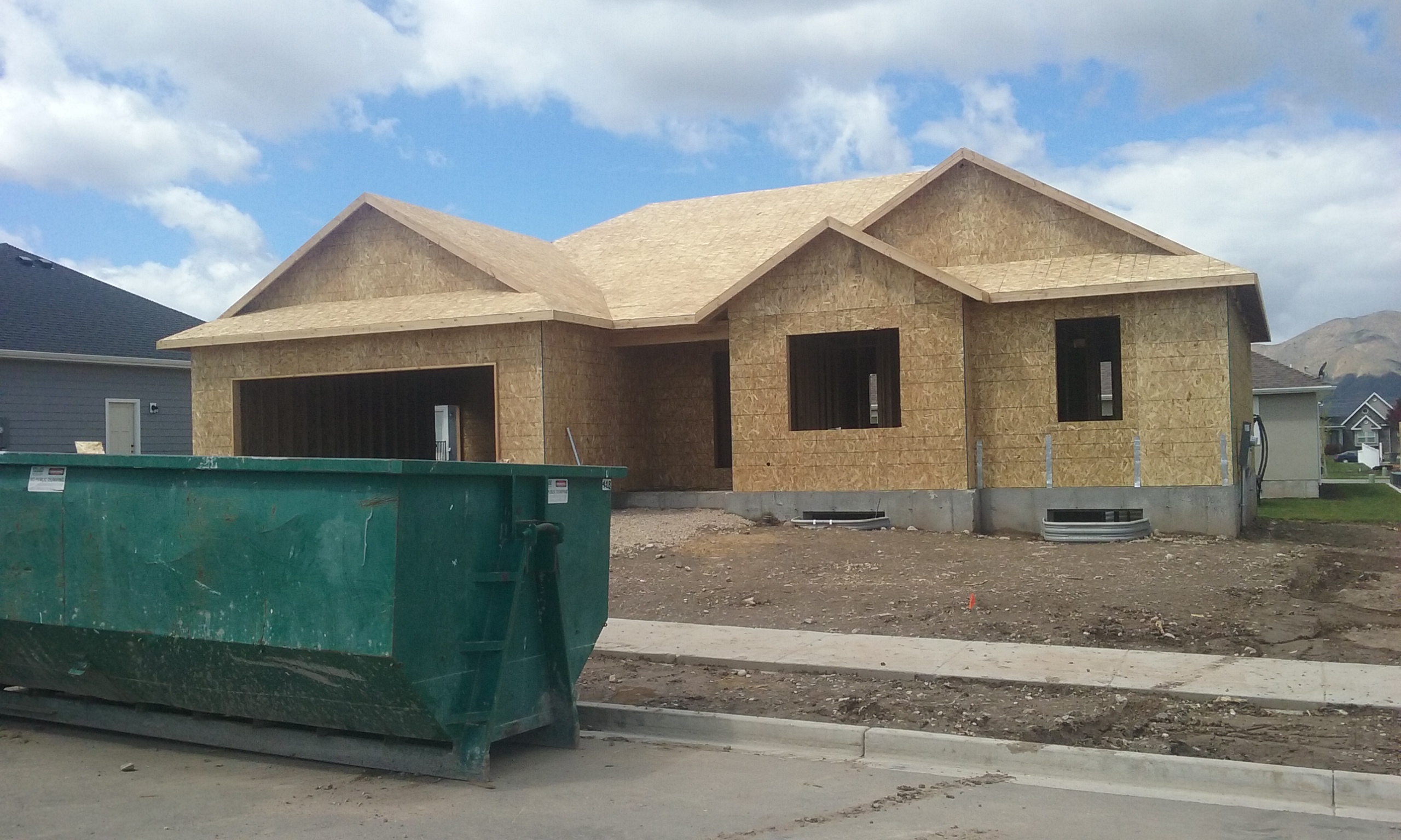
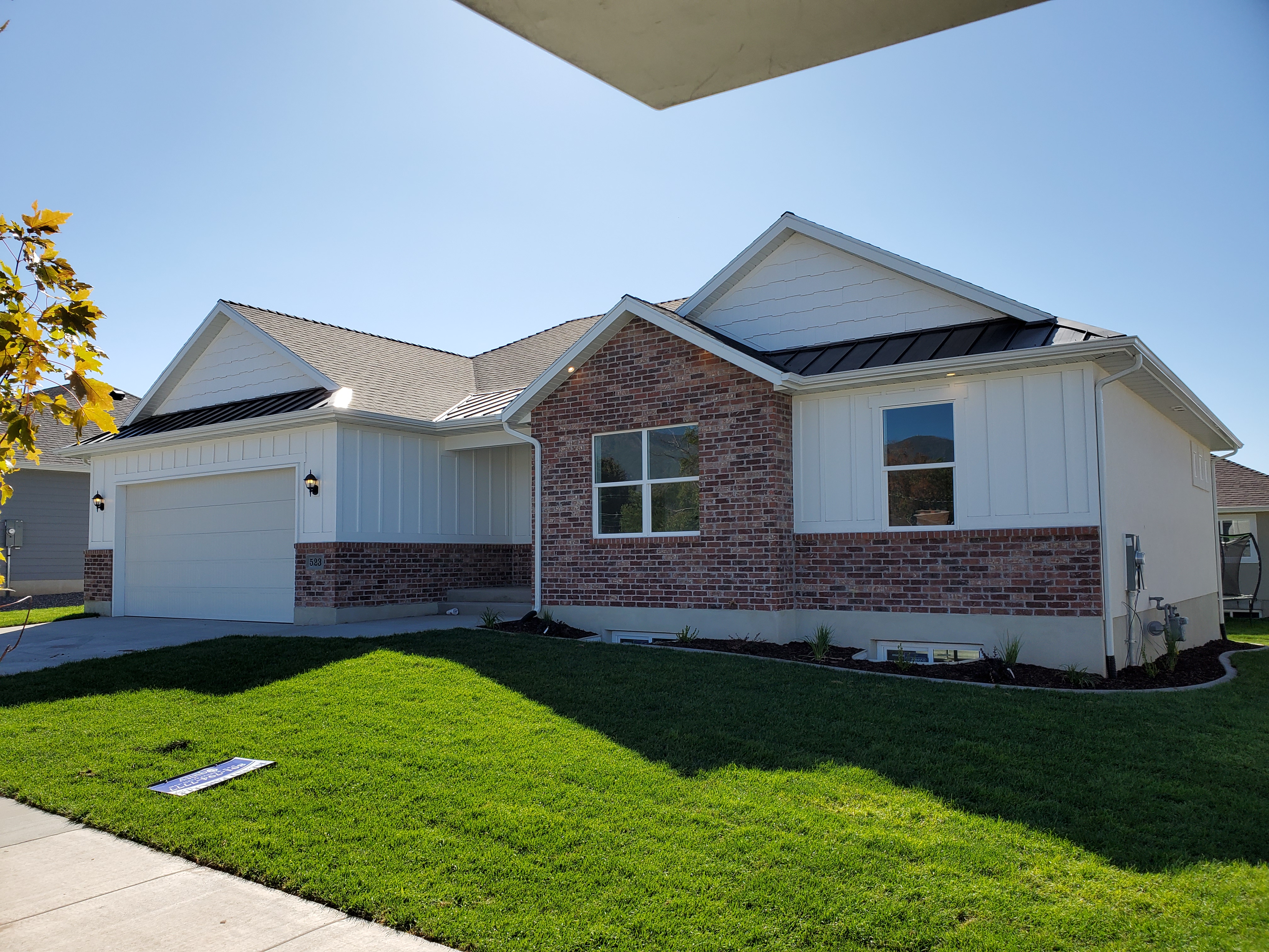
| Property Address: 523 N 100 WEST - PAYSON |
|
| Mailing Address: 523 N 100 W PAYSON, UT 84651 |
|
| Acreage: 0.172261 |
|
| Last Document:
85354-2018
|
|
| Subdivision Map Filing |
|
| Taxing Description:
LOT 405, PLAT D, STERLING GROVE SUB AREA 0.172 AC.
*Taxing description NOT FOR LEGAL DOCUMENTS
|
|
- Owner Names
- Value History
- Tax History
- Location
- Photos
- Documents
- Aerial Image
| |
----- Real Estate Values ----- |
---Improvements--- |
---Greenbelt--- |
Total |
| Year |
Com |
Res |
Agr |
Tot |
Com |
Res |
Agr |
Tot |
Land |
Homesite |
Tot |
Market Value |
| 2024 |
$0 |
$145,100 |
$0 |
$145,100 |
$0 |
$402,500 |
$0 |
$402,500 |
$0 |
$0 |
$0 |
$547,600 |
| 2023 |
$0 |
$144,900 |
$0 |
$144,900 |
$0 |
$423,100 |
$0 |
$423,100 |
$0 |
$0 |
$0 |
$568,000 |
| 2022 |
$0 |
$154,500 |
$0 |
$154,500 |
$0 |
$353,800 |
$0 |
$353,800 |
$0 |
$0 |
$0 |
$508,300 |
| 2021 |
$0 |
$103,000 |
$0 |
$103,000 |
$0 |
$231,500 |
$0 |
$231,500 |
$0 |
$0 |
$0 |
$334,500 |
| 2020 |
$0 |
$89,600 |
$0 |
$89,600 |
$0 |
$230,400 |
$0 |
$230,400 |
$0 |
$0 |
$0 |
$320,000 |
| 2019 |
$0 |
$84,900 |
$0 |
$84,900 |
$0 |
$0 |
$0 |
$0 |
$0 |
$0 |
$0 |
$84,900 |
| Year |
General Taxes |
Adjustments |
Net Taxes |
Fees |
Payments |
Tax Balance* |
Balance Due |
Tax District |
| 2025 |
$0.00 |
$0.00 |
$0.00 |
$0.00 |
|
$0.00
|
$0.00 |
170 - PAYSON CITY |
| 2024 |
$0.00 |
$0.00 |
$0.00 |
$0.00 |
|
$0.00
|
$0.00 |
170 - PAYSON CITY |
| 2023 |
$3,061.21 |
$0.00 |
$3,061.21 |
$0.00 |
|
$0.00
|
$0.00 |
170 - PAYSON CITY |
| 2022 |
$2,785.31 |
$0.00 |
$2,785.31 |
$0.00 |
|
$0.00
|
$0.00 |
170 - PAYSON CITY |
| 2021 |
$2,077.81 |
$0.00 |
$2,077.81 |
$0.00 |
|
$0.00
|
$0.00 |
170 - PAYSON CITY |
| 2020 |
$2,031.74 |
$0.00 |
$2,031.74 |
$0.00 |
|
$0.00
|
$0.00 |
170 - PAYSON CITY |
| 2019 |
$955.97 |
$0.00 |
$955.97 |
$0.00 |
|
$0.00
|
$0.00 |
170 - PAYSON CITY |
* Note: Original tax amount (Does not include applicable interest and/or fees).
| Entry # |
Date |
Recorded |
Type |
Party1 (Grantor) |
Party2 (Grantee) |
| 129307-2020 |
08/27/2020 |
08/27/2020 |
CORR AF |
STRAWBERRY WATER USER'S ASSOCIATION |
WHOM OF INTEREST |
| 126214-2020 |
04/22/2020 |
08/24/2020 |
WATER D |
SHEPHERD, SHAUN L & CELESTE K |
R & C LLC |
| 21741-2020 |
02/18/2020 |
02/21/2020 |
REC |
CENTRAL BANK TEE |
R & C LLC |
| 15359-2020 |
02/05/2020 |
02/05/2020 |
D TR |
JUAREZ, TARSICIO SOTO (ET AL) |
UNITED WHOLESALE MORTGAGE LLC |
| 15340-2020 |
01/31/2020 |
02/05/2020 |
WD |
VAN TASSELL, DONALD |
JUAREZ, TARSICIO SOTO (ET AL) |
| 6654-2019 |
01/23/2019 |
01/25/2019 |
WD |
HULLINGER, KEVIN D & MONICA A |
VAN TASSELL, DONALD |
| 85354-2018 |
09/04/2018 |
09/06/2018 |
WD |
R & C LLC |
HULLINGER, KEVIN D & MONICA A |
| 11106-2018 |
01/16/2018 |
02/05/2018 |
S PLAT |
R&C LLC |
STERLING GROVE PLAT D |
Main Menu Comments or Concerns on Value/Appraisal - Assessor's Office
Documents/Owner/Parcel information - Recorder's Office
Address Change for Tax Notice
This page was created on 7/29/2024 4:24:46 AM |