Property Information
mobile view
| Serial Number: 68:041:0004 |
Serial Life: 2022-2023 |
|
|
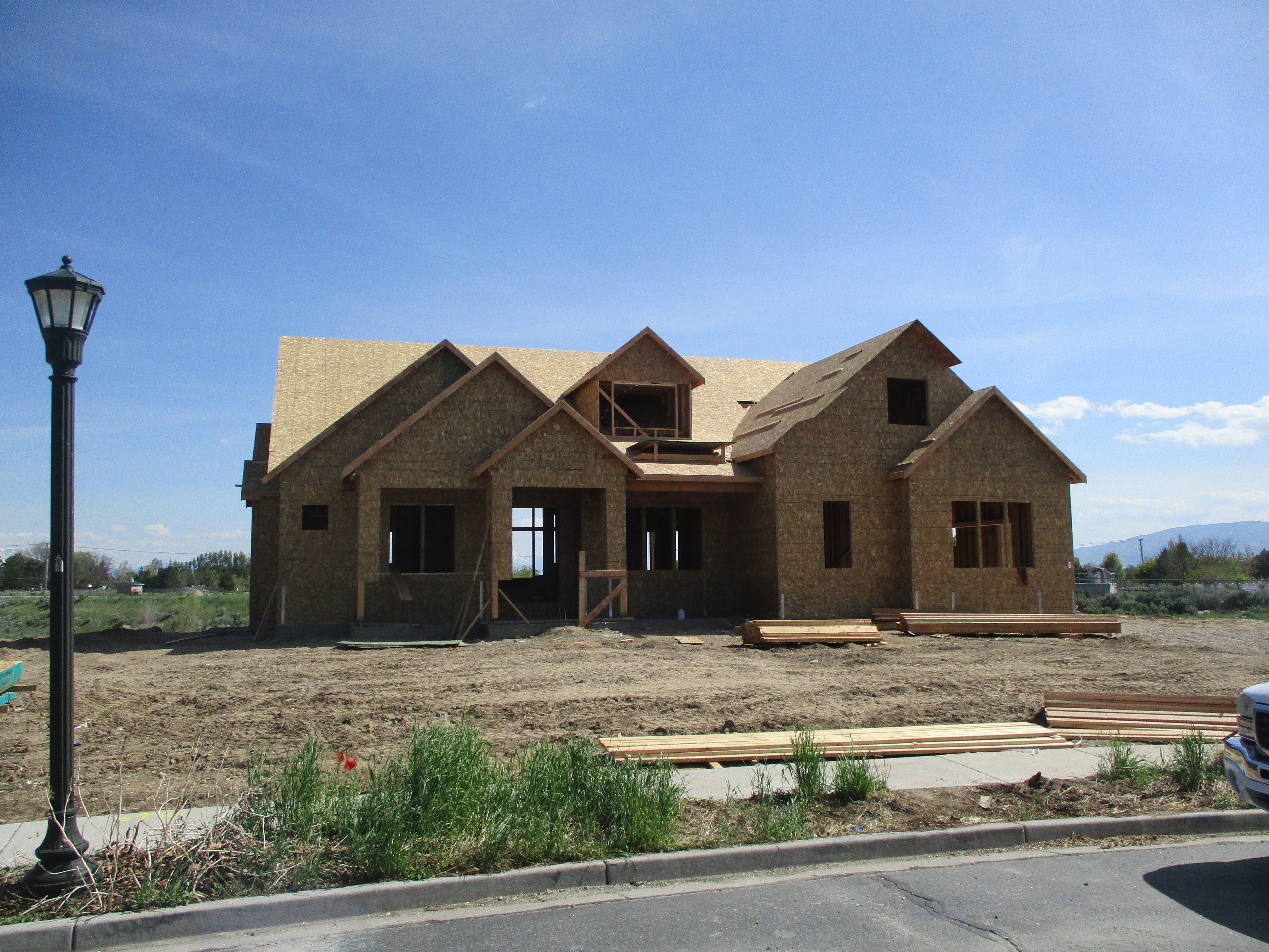 Total Photos: 1
|
| |
|
|
| Property Address: 6499 W AVERY LN - HIGHLAND |
|
| Mailing Address: 562 CONNOR RD WEST POINT, NY 10996 |
|
| Acreage: 1.222982 |
|
| Last Document:
193405-2021
|
|
| Subdivision Map Filing |
|
| Taxing Description:
LOT 4, PLAT B, HORSESHOE BEND SUB AREA 1.223 AC.
*Taxing description NOT FOR LEGAL DOCUMENTS
|
|
- Owner Names
- Value History
- Tax History
- Location
- Photos
- Documents
- Aerial Image
| |
----- Real Estate Values ----- |
---Improvements--- |
---Greenbelt--- |
Total |
| Year |
Com |
Res |
Agr |
Tot |
Com |
Res |
Agr |
Tot |
Land |
Homesite |
Tot |
Market Value |
| 2023 |
$0 |
$588,200 |
$50,000 |
$638,200 |
$0 |
$1,108,800 |
$0 |
$1,108,800 |
$0 |
$0 |
$0 |
$1,747,000 |
| 2022 |
$0 |
$616,500 |
$52,400 |
$668,900 |
$0 |
$901,200 |
$0 |
$901,200 |
$0 |
$0 |
$0 |
$1,570,100 |
| Year |
General Taxes |
Adjustments |
Net Taxes |
Fees |
Payments |
Tax Balance* |
Balance Due |
Tax District |
| 2023 |
$7,380.04 |
($1,439.47) |
$5,940.57 |
$0.00 |
|
$0.00
|
$0.00 |
045 - HIGHLAND CITY |
| 2022 |
$6,866.42 |
($879.15) |
$5,987.27 |
$0.00 |
|
$0.00
|
$0.00 |
045 - HIGHLAND CITY |
* Note: Original tax amount (Does not include applicable interest and/or fees).
| Entry # |
Date |
Recorded |
Type |
Party1 (Grantor) |
Party2 (Grantee) |
| 82793-2023 |
11/07/2023 |
12/21/2023 |
S PLAT |
FRANDSEN, TED HEBER TEE (ET AL) |
HORSESHOE BEND PLAT C |
| 213221-2021 |
07/15/2021 |
12/28/2021 |
CON EAS |
FRANDSEN, TED HEBER TEE (ET AL) |
JORDAN VALLEY WATER CONSERVANCY DISTRICT |
| 193405-2021 |
08/18/2020 |
11/17/2021 |
S PLAT |
FRANDSEN, TED HEBER TEE (ET AL) |
HORSESHOE BEND PLAT B |
Main Menu Comments or Concerns on Value/Appraisal - Assessor's Office
Documents/Owner/Parcel information - Recorder's Office
Address Change for Tax Notice
This page was created on 10/8/2024 7:37:34 PM |