Property Information
mobile view
| Serial Number: 07:003:0029 |
Serial Life: 2018 |
|
|

Total Photos: 2
|
| |
|
|
| Property Address: |
|
| Mailing Address: 350 S 900 E SPANISH FORK, UT 84660-2505 |
|
| Acreage: 0.038969 |
|
| Last Document:
82866-2017
|
|
| Subdivision Map Filing |
|
| Taxing Description:
COM S 89 DEG 32' 17" E 79 FT FR SW COR. BLK. 3, PLAT A, SPANISH FORK CITY SURVEY; S 89 DEG 32' 17" E 21 FT; N 0 DEG 27' 43" E 90 FT; N 89 DEG 32' 36" W 10 FT; S 0 DEG 27' 43" W 17.5 FT; N 89 DEG 32' 17" W 11 FT; S 0 DEG 27' 43" W 72.5 FT TO BEG. AREA 0.039 AC.
*Taxing description NOT FOR LEGAL DOCUMENTS
|
|
- Owner Names
- Value History
- Tax History
- Location
- Photos
- Documents
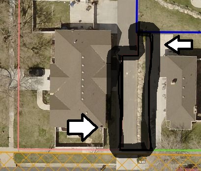
- Aerial Image
Main Menu Comments or Concerns on Value/Appraisal - Assessor's Office
Documents/Owner/Parcel information - Recorder's Office
Address Change for Tax Notice
This page was created on 8/12/2024 1:21:48 AM |