Property Information
mobile view
| Serial Number: 14:004:0380 |
Serial Life: 2024... |
|
|
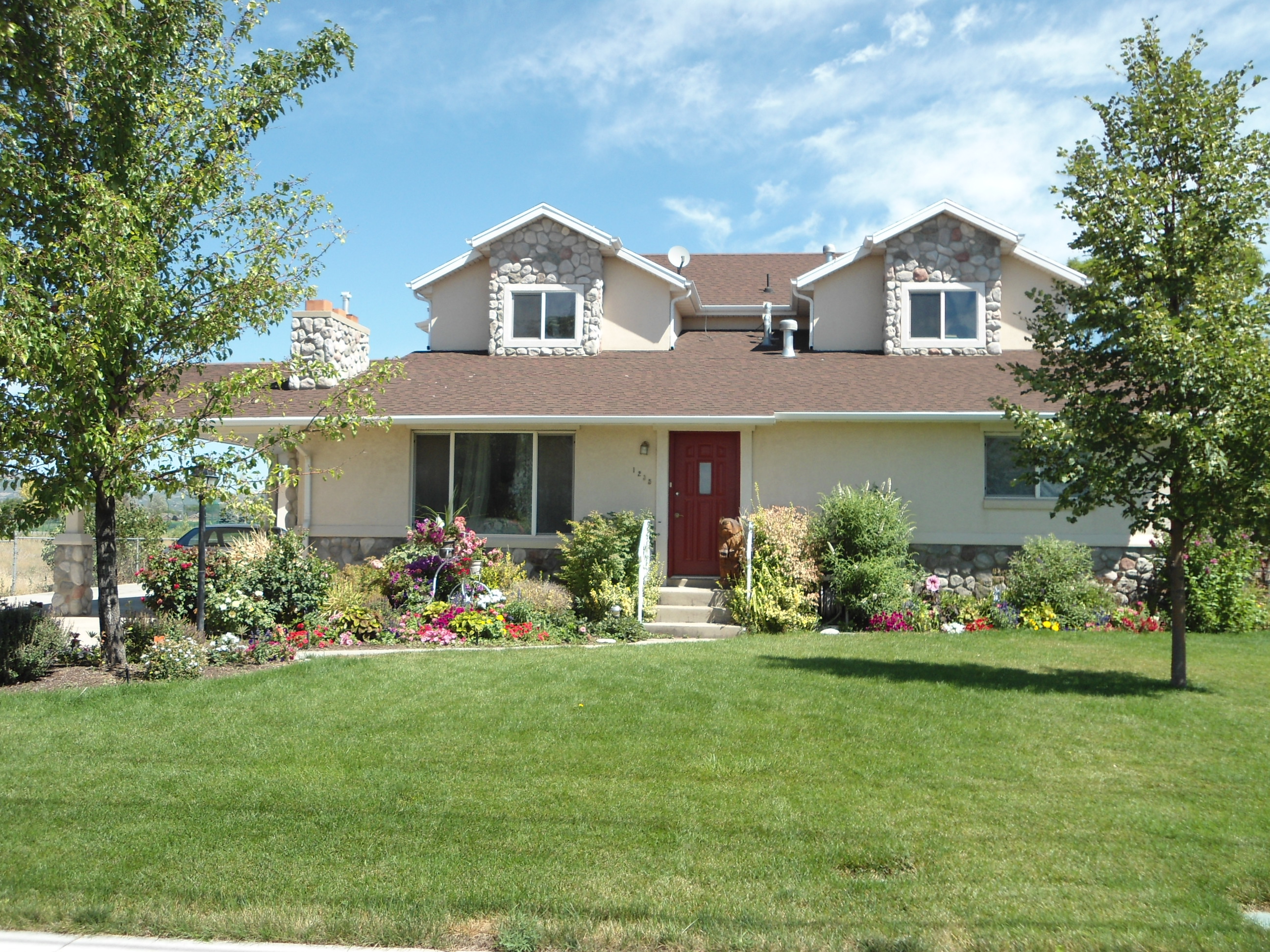 Total Photos: 1
|
| |
|
|
| Property Address: 1235 E 700 NORTH - AMERICAN FORK |
|
| Mailing Address: 1235 E 700 N AMERICAN FORK, UT 84003-1391 |
|
| Acreage: 0.333136 |
|
| Last Document:
77243-2023
|
|
| Subdivision Map Filing |
|
| Taxing Description:
COM W 508.85 FT & N 40.76 FT FR SE COR. SW 1/4 SEC. 7, T5S, R2E, SLB&M.; S 89 DEG 30' 0" W 89.12 FT; N 1 DEG 5' 1" W 68.47 FT; N 0 DEG 53' 10" E 88.98 FT; N 1 DEG 42' 35" E 3.84 FT; E 89.98 FT; S 0 DEG 22' 41" W 160.49 FT TO BEG. AREA 0.333 AC.
*Taxing description NOT FOR LEGAL DOCUMENTS
|
|
- Owner Names
- Value History
- Tax History
- Location
- Photos
- Documents
- Aerial Image
Main Menu Comments or Concerns on Value/Appraisal - Assessor's Office
Documents/Owner/Parcel information - Recorder's Office
Address Change for Tax Notice
This page was created on 12/30/2024 3:39:42 PM |