Property Information
mobile view
| Serial Number: 17:038:0091 |
Serial Life: 2020 |
|
|

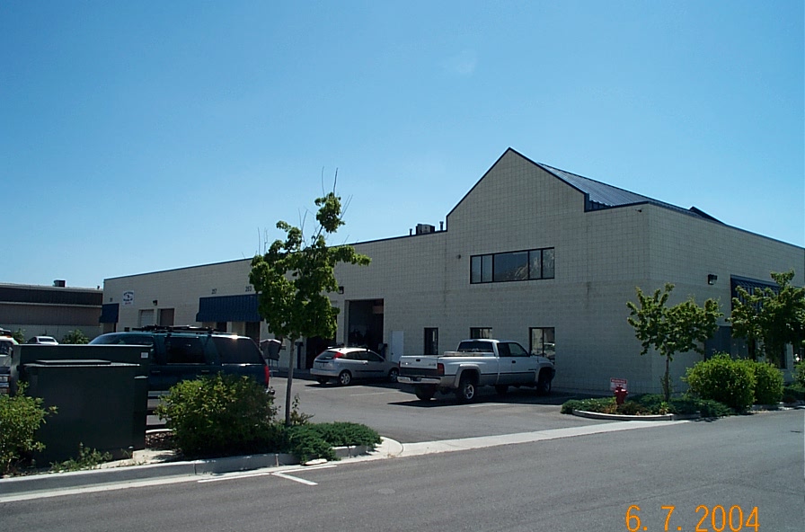
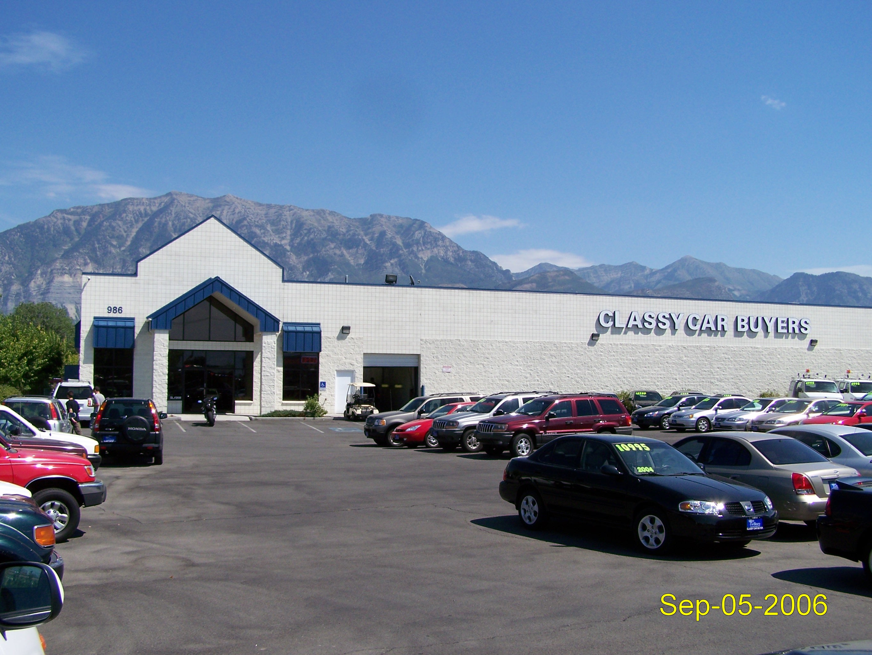
Total Photos: 5
|
| |
|
|
| Property Address: |
|
| Mailing Address: 1194 E 1090 N OREM, UT 84097-4331 |
|
| Acreage: 0.59691 |
|
| Last Document:
2988-2019
|
|
| Subdivision Map Filing |
|
| Taxing Description:
COM N 1094.57 FT & W 1869.01 FT FR E 1/4 COR. SEC. 10, T6S, R2E, SLB&M.; N 87 DEG 43' 52" E 289.32 FT; S 1 DEG 34' 7" E 46.66 FT; S 48.07 FT; S 87 DEG 43' 52" W 259.22 FT; N 18 DEG 32' 20" W 98.64 FT TO BEG. AREA 0.597 AC.
*Taxing description NOT FOR LEGAL DOCUMENTS
|
|
- Owner Names
- Value History
- Tax History
- Location
- Photos
- Documents
- Aerial Image
| |
----- Real Estate Values ----- |
---Improvements--- |
---Greenbelt--- |
Total |
| Year |
Com |
Res |
Agr |
Tot |
Com |
Res |
Agr |
Tot |
Land |
Homesite |
Tot |
Market Value |
| 2020 |
$358,400 |
$0 |
$0 |
$358,400 |
$360,300 |
$0 |
$0 |
$360,300 |
$0 |
$0 |
$0 |
$718,700 |
| Year |
General Taxes |
Adjustments |
Net Taxes |
Fees |
Payments |
Tax Balance* |
Balance Due |
Tax District |
| 2020 |
$6,894.49 |
$0.00 |
$6,894.49 |
$0.00 |
|
$0.00
|
$0.00 |
090 - OREM CITY |
* Note: Original tax amount (Does not include applicable interest and/or fees).
| Entry # |
Date |
Recorded |
Type |
Party1 (Grantor) |
Party2 (Grantee) |
| 21552-2020 |
02/20/2020 |
02/20/2020 |
QCD |
SAKAR, HAYSAM ZOHER & LEXIE SHAREE |
SAKAR, HAYSAM ZOHER & LEXIE SHAREE |
| 21551-2020 |
02/20/2020 |
02/20/2020 |
QCD |
SAKR, HAYSAM ZOHER |
SAKAR, HAYSAM ZOHER & LEXIE SHAREE |
| 21550-2020 |
04/05/2019 |
02/20/2020 |
C WD |
ROBBINS PROPERTIES LC |
SAKR, HAYSAM ZOHER |
| 3641-2019 |
01/14/2019 |
01/14/2019 |
REC |
UNITED WEST TITLE INSURANCE AGENCY INC TEE |
ROBBINS PROPERTIES LC |
| 2988-2019 |
01/11/2019 |
01/11/2019 |
QCD |
SAKR, HAYSAM ZOHER AKA (ET AL) |
SAKAR, HAYSAM ZOHER & LEXIE SHAREE |
Main Menu Comments or Concerns on Value/Appraisal - Assessor's Office
Documents/Owner/Parcel information - Recorder's Office
Address Change for Tax Notice
This page was created on 8/13/2024 1:27:25 AM |

