Property Information
mobile view
| Serial Number: 18:047:0074 |
Serial Life: 1998-2008 |
|
|
Total Photos: 1
|
| |
|
|
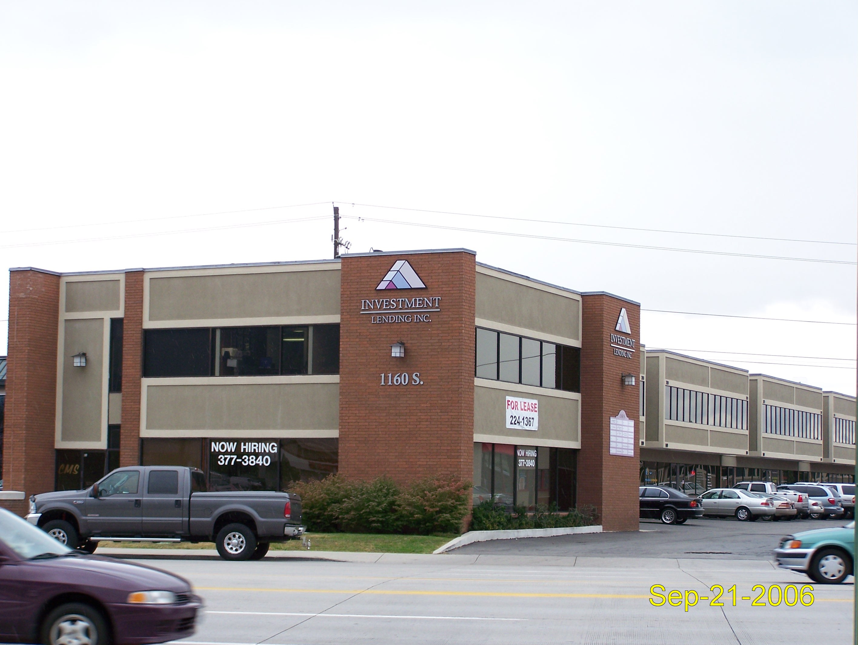
| Property Address: 1160 S STATE - OREM |
|
| Mailing Address: 951 W 2620 S MAPLETON, UT 84664-4864 |
|
| Acreage: 0.612023 |
|
| Last Document:
26069-1976
|
|
| Subdivision Map Filing |
|
| Taxing Description:
COM N 278.85 FT & W 87.22 FT FR S 1/4 COR. SEC. 23, T6S, R2E, SLB&M.; N 88 DEG 59' 47" W 134.35 FT; S 0 DEG 37' 30" W .64 FT; N 89 DEG 14' 31" W 86.42 FT; S 3 DEG 3' 33" W 6.94 FT; S 85 DEG 34' 31" W 75.95 FT; N 0 DEG 39' 6" E 1.36 FT; S 86 DEG 8' 12" W .09 FT; N 0 DEG 45' 3" E 12.05 FT; N 89 DEG 4' 3" W 34.49 FT; N 19 DEG 29' 19" W 8.41 FT; N 89 DEG 15' 0" W 29.79 FT; N 153.22 FT; S 75 DEG 29' 7" E 25.14 FT; S 13 DEG 53' 0" E 12.17 FT; E 42.32 FT; S 90 FT; E 275.23 FT; S 18 DEG 15' 0" E 60.49 FT TO BEG. AREA 0.612 AC.
*Taxing description NOT FOR LEGAL DOCUMENTS
|
|
- Owner Names
- Value History
- Tax History
- Location
- Photos
- Documents
- Aerial Image
| |
----- Real Estate Values ----- |
---Improvements--- |
---Greenbelt--- |
Total |
| Year |
Com |
Res |
Agr |
Tot |
Com |
Res |
Agr |
Tot |
Land |
Homesite |
Tot |
Market Value |
| 2008 |
$400,600 |
$0 |
$0 |
$400,600 |
$1,203,600 |
$0 |
$0 |
$1,203,600 |
$0 |
$0 |
$0 |
$1,604,200 |
| 2007 |
$381,500 |
$0 |
$0 |
$381,500 |
$1,146,300 |
$0 |
$0 |
$1,146,300 |
$0 |
$0 |
$0 |
$1,527,800 |
| 2006 |
$317,894 |
$0 |
$0 |
$317,894 |
$1,042,106 |
$0 |
$0 |
$1,042,106 |
$0 |
$0 |
$0 |
$1,360,000 |
| 2005 |
$317,894 |
$0 |
$0 |
$317,894 |
$1,042,106 |
$0 |
$0 |
$1,042,106 |
$0 |
$0 |
$0 |
$1,360,000 |
| 2004 |
$317,894 |
$0 |
$0 |
$317,894 |
$1,042,106 |
$0 |
$0 |
$1,042,106 |
$0 |
$0 |
$0 |
$1,360,000 |
| 2003 |
$317,894 |
$0 |
$0 |
$317,894 |
$1,042,106 |
$0 |
$0 |
$1,042,106 |
$0 |
$0 |
$0 |
$1,360,000 |
| 2002 |
$317,894 |
$0 |
$0 |
$317,894 |
$1,042,106 |
$0 |
$0 |
$1,042,106 |
$0 |
$0 |
$0 |
$1,360,000 |
| 2001 |
$272,636 |
$0 |
$0 |
$272,636 |
$953,642 |
$0 |
$0 |
$953,642 |
$0 |
$0 |
$0 |
$1,226,278 |
| 2000 |
$254,800 |
$0 |
$0 |
$254,800 |
$953,642 |
$0 |
$0 |
$953,642 |
$0 |
$0 |
$0 |
$1,208,442 |
| 1999 |
$254,800 |
$0 |
$0 |
$254,800 |
$953,642 |
$0 |
$0 |
$953,642 |
$0 |
$0 |
$0 |
$1,208,442 |
| 1998 |
$245,000 |
$0 |
$0 |
$245,000 |
$916,963 |
$0 |
$0 |
$916,963 |
$0 |
$0 |
$0 |
$1,161,963 |
| Year |
General Taxes |
Adjustments |
Net Taxes |
Fees |
Payments |
Tax Balance* |
Balance Due |
Tax District |
| 2008 |
$16,136.65 |
$0.00 |
$16,136.65 |
$0.00 |
|
$0.00
|
$0.00 |
090 - OREM CITY |
| 2007 |
$15,192.44 |
$0.00 |
$15,192.44 |
$0.00 |
|
$0.00
|
$0.00 |
090 - OREM CITY |
| 2006 |
$14,401.04 |
$0.00 |
$14,401.04 |
$0.00 |
|
$0.00
|
$0.00 |
090 - OREM CITY |
| 2005 |
$16,254.72 |
$0.00 |
$16,254.72 |
$0.00 |
|
$0.00
|
$0.00 |
090 - OREM CITY |
| 2004 |
$15,966.40 |
$0.00 |
$15,966.40 |
$0.00 |
|
$0.00
|
$0.00 |
090 - OREM CITY |
| 2003 |
$15,493.12 |
$0.00 |
$15,493.12 |
$0.00 |
|
$0.00
|
$0.00 |
090 - OREM CITY |
| 2002 |
$14,158.96 |
$0.00 |
$14,158.96 |
$0.00 |
|
$0.00
|
$0.00 |
090 - OREM CITY |
| 2001 |
$12,644.15 |
$0.00 |
$12,644.15 |
$0.00 |
|
$0.00
|
$0.00 |
090 - OREM CITY |
| 2000 |
$12,883.20 |
$0.00 |
$12,883.20 |
$0.00 |
|
$0.00
|
$0.00 |
090 - OREM CITY |
| 1999 |
$13,263.86 |
$0.00 |
$13,263.86 |
$0.00 |
|
$0.00
|
$0.00 |
090 - OREM CITY |
| 1998 |
$12,042.58 |
$0.00 |
$12,042.58 |
$0.00 |
|
$0.00
|
$0.00 |
090 - OREM CITY |
* Note: Original tax amount (Does not include applicable interest and/or fees).
| Entry # |
Date |
Recorded |
Type |
Party1 (Grantor) |
Party2 (Grantee) |
| 37986-2008 |
03/31/2008 |
04/01/2008 |
BLA |
ELLIS INVESTMENT COMPANY LTD BY (ET AL) |
GAPPMAYER, MERRILL & MARIE TEE (ET AL) |
| 159177-2007 |
11/02/2007 |
11/08/2007 |
RSUBTEE |
WELLS FARGO BANK (ET AL) |
GAPPMAYER, MERRILL & MARIE |
| 149424-2005 |
12/27/2005 |
12/27/2005 |
WD |
GAPPMAYER, MARIE |
GAPPMAYER, MARIE & MERRILL TEE |
| 780-2001 |
01/02/2001 |
01/04/2001 |
REC |
FIRST SECURITY BANK TEE |
GAPPMAYER, MARIE |
| 779-2001 |
01/02/2001 |
01/04/2001 |
SUB TEE |
FIRST SECURITY BANK |
FIRST SECURITY BANK SUCTEE |
| 778-2001 |
01/02/2001 |
01/04/2001 |
D TR |
GAPPMAYER, MERRILL & MARIE |
FIRST SECURITY BANK |
| 116302-1998 |
11/03/1998 |
11/10/1998 |
C PLAT |
OAK CANYON LC |
HANOVER PARK CONDO |
| 116301-1998 |
11/04/1998 |
11/10/1998 |
CONSENT |
COMMUNITY FIRST NATIONAL BANK FKA (ET AL) |
WHOM OF INTEREST |
| 31726-1998 |
03/25/1998 |
04/01/1998 |
QCD |
CORDNER, DELORES TEE (ET AL) |
OAK CANYON LC |
| 85656-1997 |
10/28/1997 |
10/30/1997 |
BLA |
DAVIS, RICHARD W & BEVERLY B (ET AL) |
GAPPMAYER, MARIE (ET AL) |
Main Menu Comments or Concerns on Value/Appraisal - Assessor's Office
Documents/Owner/Parcel information - Recorder's Office
Address Change for Tax Notice
This page was created on 7/14/2024 8:12:49 AM |