Property Information
mobile view
| Serial Number: 18:056:0125 |
Serial Life: 1999-2001 |
|
|
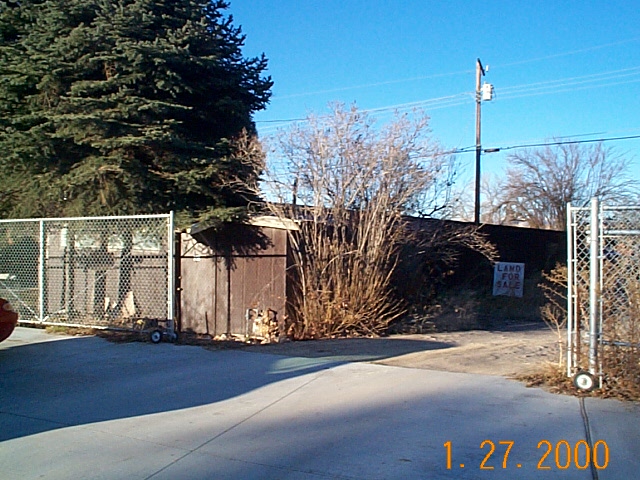 Total Photos: 1
|
| |
|
|
| Property Address: |
|
| Mailing Address: 856 S 920 E OREM, UT 84097-4718 |
|
| Acreage: 0.164792 |
|
| Last Document:
21922-1976
|
|
| Subdivision Map Filing |
|
| Taxing Description:
COM S 784.08 FT & W 103.71 FT FR E 1/4 COR. SEC. 23, T6S, R2E, SLB&M.; W 104.58 FT; S 0 DEG 11' 36" E 68.64 FT; E 104.58 FT; N 0 DEG 11' 36" W 68.64 FT TO BEG. AREA 0.165 AC.
*Taxing description NOT FOR LEGAL DOCUMENTS
|
|
- Owner Names
- Value History
- Tax History
- Location
- Photos
- Documents
- Aerial Image
| |
----- Real Estate Values ----- |
---Improvements--- |
---Greenbelt--- |
Total |
| Year |
Com |
Res |
Agr |
Tot |
Com |
Res |
Agr |
Tot |
Land |
Homesite |
Tot |
Market Value |
| 2001 |
$0 |
$28,623 |
$0 |
$28,623 |
$0 |
$118,023 |
$0 |
$118,023 |
$0 |
$0 |
$0 |
$146,646 |
| 2000 |
$0 |
$26,750 |
$0 |
$26,750 |
$0 |
$105,746 |
$0 |
$105,746 |
$0 |
$0 |
$0 |
$132,496 |
| 1999 |
$0 |
$25,000 |
$0 |
$25,000 |
$0 |
$98,828 |
$0 |
$98,828 |
$0 |
$0 |
$0 |
$123,828 |
| Year |
General Taxes |
Adjustments |
Net Taxes |
Fees |
Payments |
Tax Balance* |
Balance Due |
Tax District |
| 2001 |
$831.64 |
$0.00 |
$831.64 |
$0.00 |
|
$0.00
|
$0.00 |
090 - OREM CITY |
| 2000 |
$776.90 |
$0.00 |
$776.90 |
$0.00 |
|
$0.00
|
$0.00 |
090 - OREM CITY |
| 1999 |
$747.52 |
$0.00 |
$747.52 |
$0.00 |
|
$0.00
|
$0.00 |
090 - OREM CITY |
* Note: Original tax amount (Does not include applicable interest and/or fees).
| Entry # |
Date |
Recorded |
Type |
Party1 (Grantor) |
Party2 (Grantee) |
| 95794-2001 |
09/19/2001 |
09/20/2001 |
QCD |
LISTON, VERDIN & MARIE H TEE (ET AL) |
LISTON, SHERRIL V & SHERRY L TEE (ET AL) |
| 5138-1998 |
01/20/1998 |
01/20/1998 |
WD |
LISTON, VERDIN & MARIE H TEE (ET AL) |
LISTON, SHERRIL V & SHERRY TEE (ET AL) |
Main Menu Comments or Concerns on Value/Appraisal - Assessor's Office
Documents/Owner/Parcel information - Recorder's Office
Address Change for Tax Notice
This page was created on 4/1/2025 6:40:36 AM |